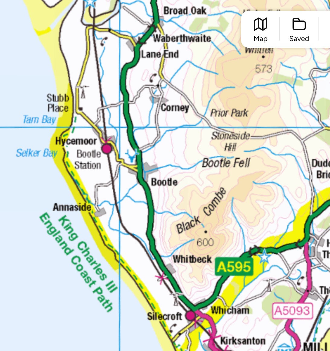
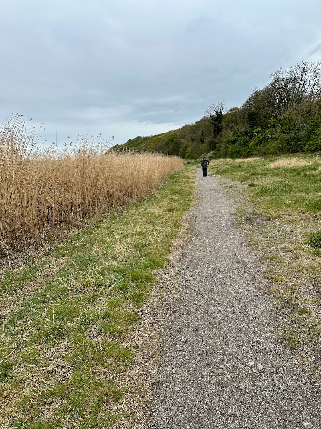
Millom to Silecroft 3.4.26

Out of the back of Millom Station we head south on the coast path through an area that shows signs of previous industry. (no photograph, don’t know why). In its heyday, Millom Ironworks was one of the largest in the world, but was forced to close in 1968 after a failure to attract investment for new steel making processes. Since its demise, efforts have been made to transform the pits and slag heaps into a local nature reserve which opened in 2002 .

Continue reading

Roose (Barrow in Furness) to Holker Street Stadium (Barrow in Furness) 19.4.25

Damian’s toe has proved to be more troublesome than we thought, so I’m on my own today – but it’s only a short walk around the docks and up to the football stadium. He leaves me at Roose station and I make my way though depressing residential streets to Salthouse Junction, where I join a path around Cavendish Dock Reservoir.

Continue reading

Bardsea to Roose 18.4.25

On the OS map there is no clear path along the coast from Bardsea, apart from an initial stretch along a dirt track at the back of the beach. So, after much rumination we decide to try it anyway – the beach is enormous and the water very far away.

The woods to our right mark the edges of Bardsea Country Park and Sea Wood, both of which will make it difficult to join the road if the beach proves too troublesome – I’m really hoping this won’t prove necessary.

Continue reading

Kents Bank to Cark 15.4.25

Cark and Cartmel station is a five minute walk from our BnB in Flookburgh, and it’s a four minute train ride to Kents Bank, where we finished our walk last time. It’s a grey morning but we’re not expecting rain.

Walking up the minor road northwards we pass the entrance to Abbot Hall – I had wondered if it was possible to take a shortcut through the grounds of the hall, but there are No Access signs everywhere so we carry on up the hill, past rows of neat semi-detached houses. As the road dips down, I find the footpath I’ve been looking for off to the left – a battered old signpost shows us the way. The Cumbria Coastal Way is actually not marked on OS maps anymore as I’m told there are a few farmers who have withdrawn their permission to let walkers on their land. We do however come across quite a few signposts helping us on our way.

Continue reading