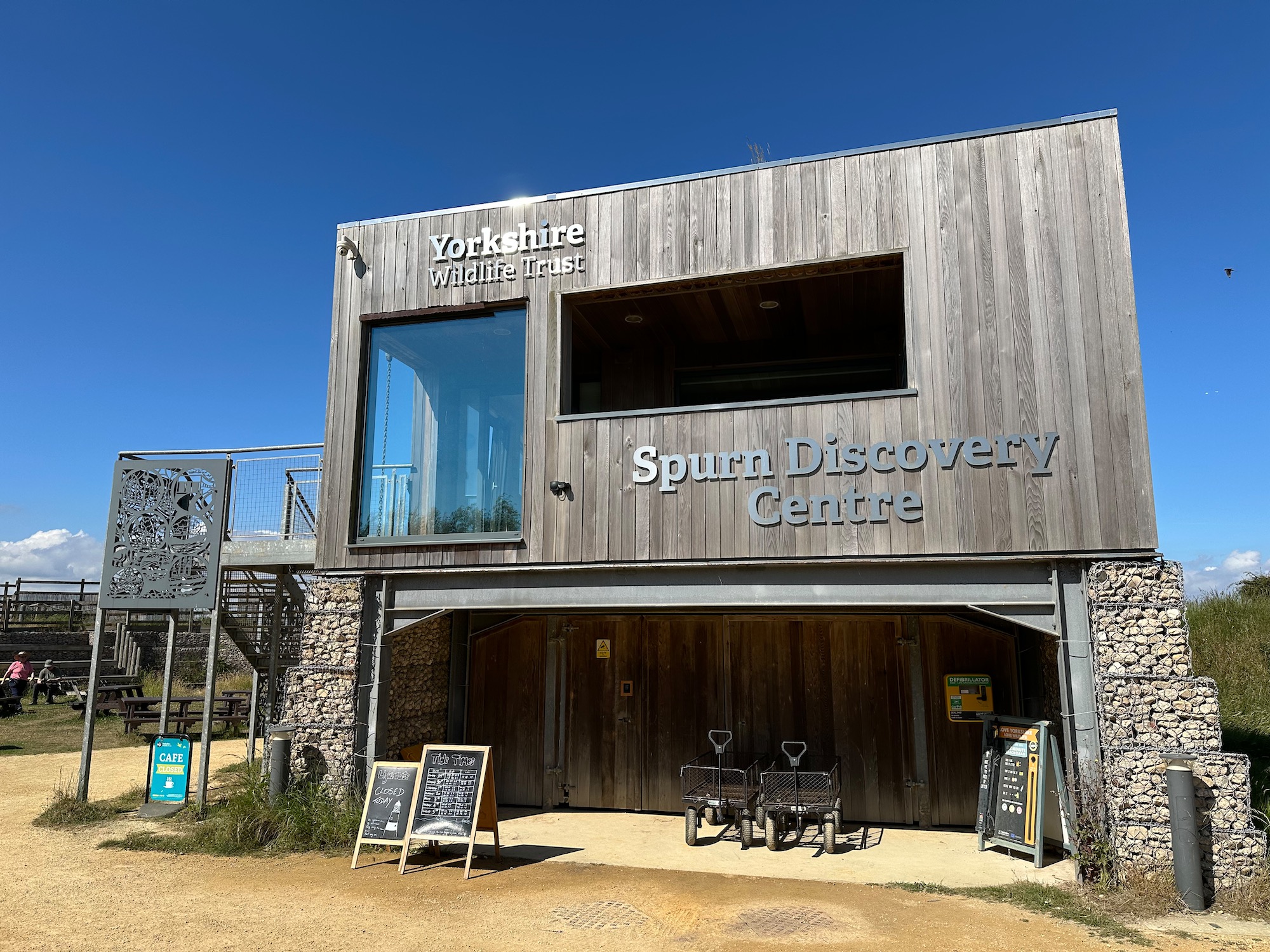
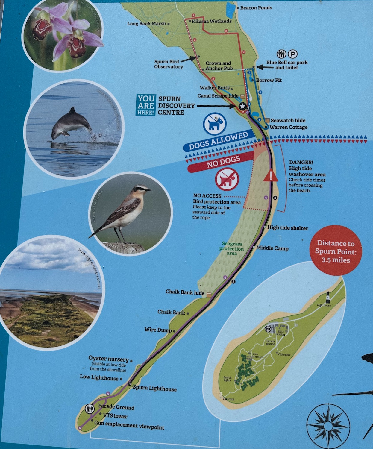
Well, we’re back for breakfast in the delightful Spurn Discovery Centre , joining up a couple of dots and breaking our journey up to Cumbria. It’s going to be a hot day (one of many lately) so I’m lathered in sun cream.
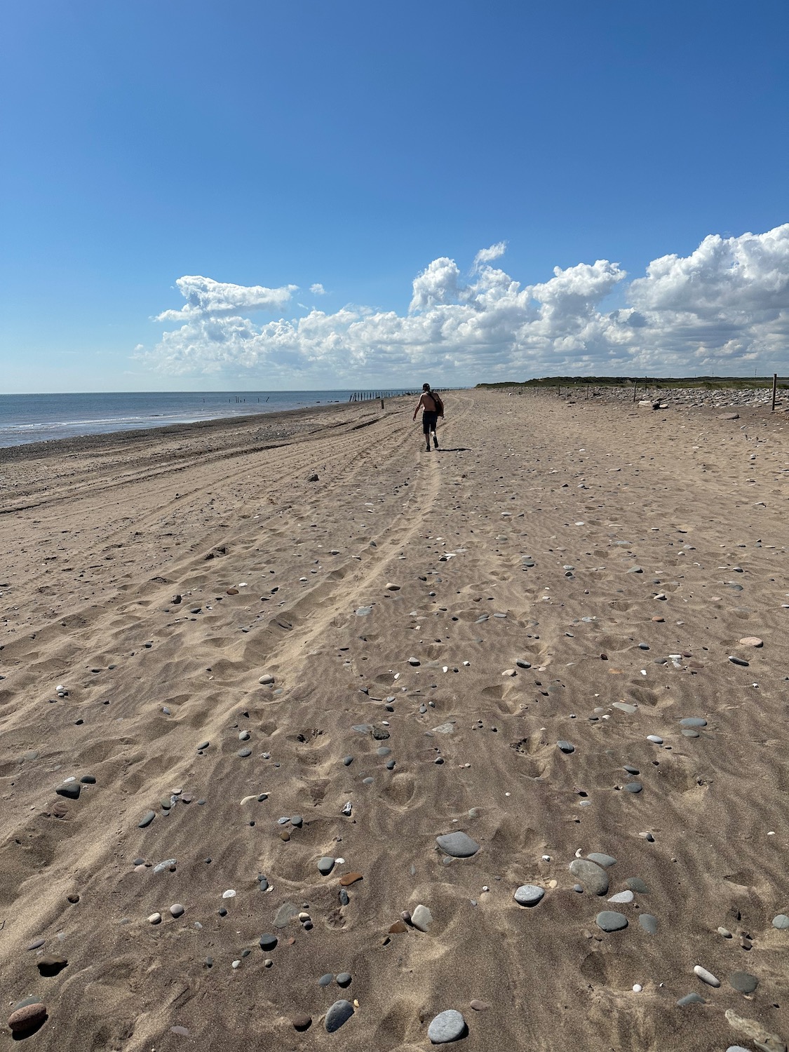
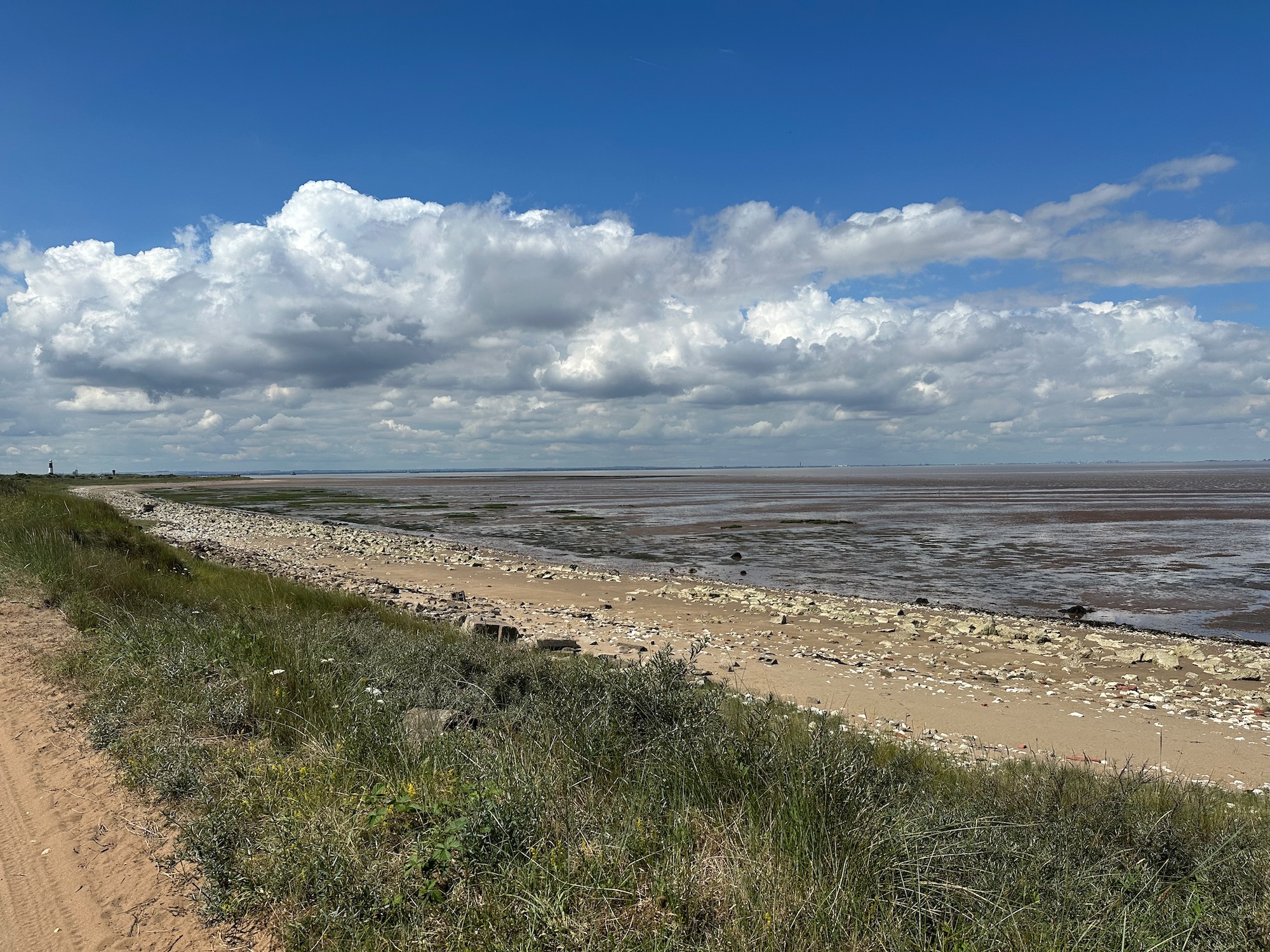
We start on the beach which is hard going in the soft sand, so at the earliest opportunity we join a rough track alongside the vast expanse of mud and sand leading to the mouth of the Humber Estuary. This area is marked as Greedy Gut on the map – a reference to coastal erosion. Locals and mariners historically gave vivid descriptive names to dangerous, shifting guts and channels that seemed to “eat” the neighbouring banks or threaten passing craft.
We pass a few boards with information about the history of the oyster industry in the Humber Estuary which, in the 1800’s, was capable of cultivating 10 million native oysters a year. I love the bowler hats and handlebar moustaches.
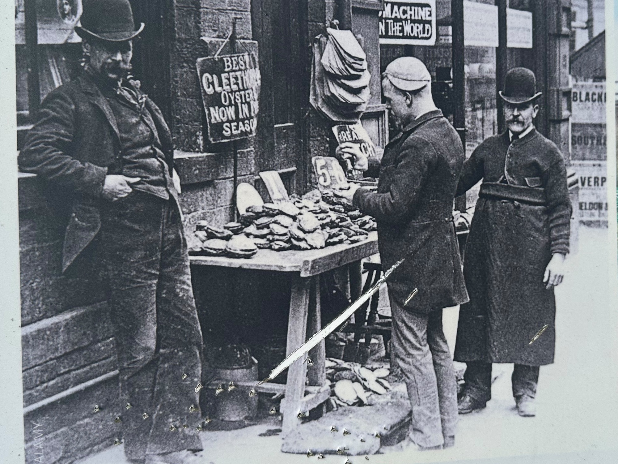
Sadly, by the 1940’s the reefs had disappeared – usual story of unsustainable fishing practices, pollution and rising sea temperatures. In 2019 however conservation work successfully introduced an experimental population of native oysters into the Humber Estuary – still surviving today.
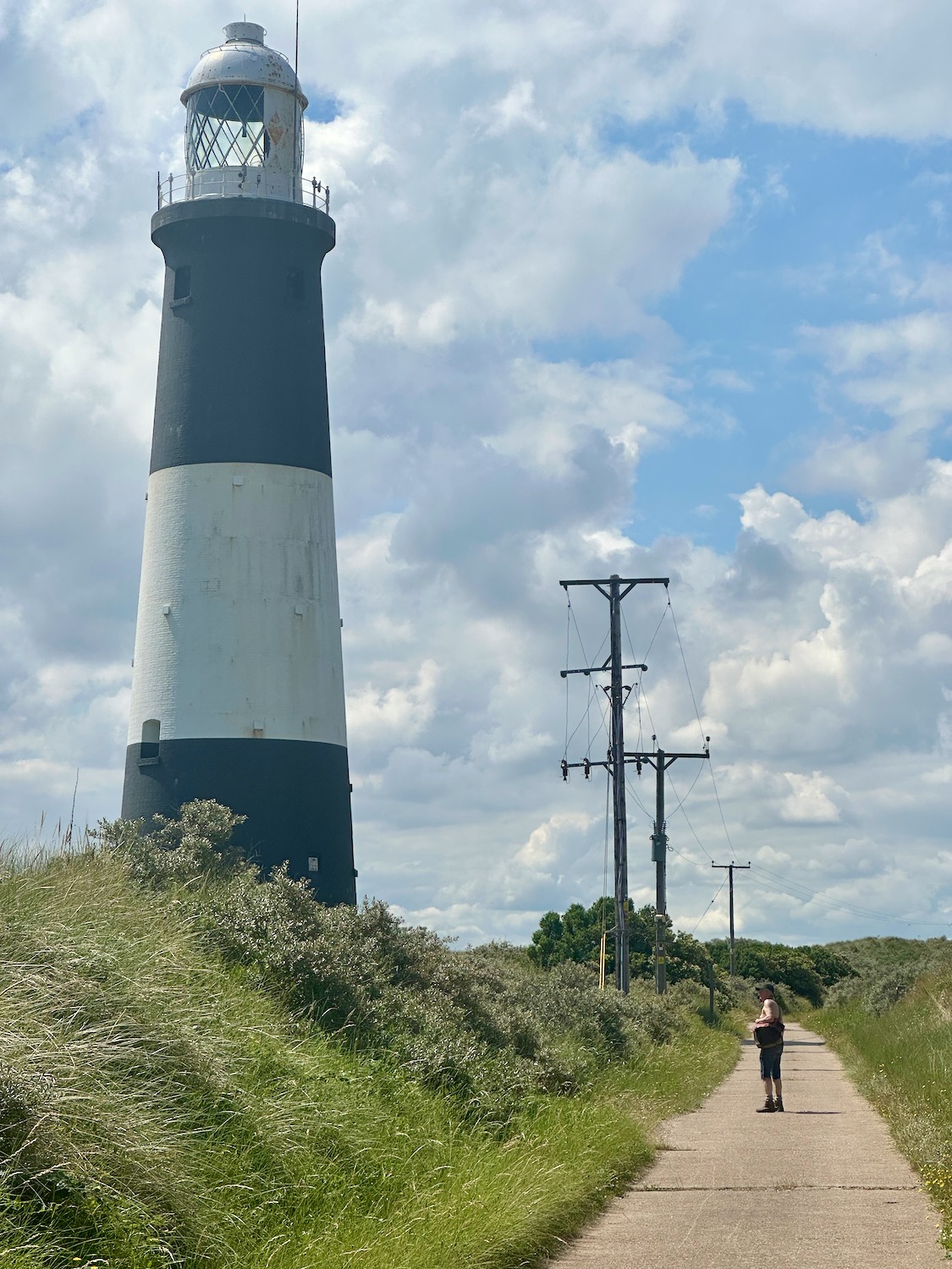
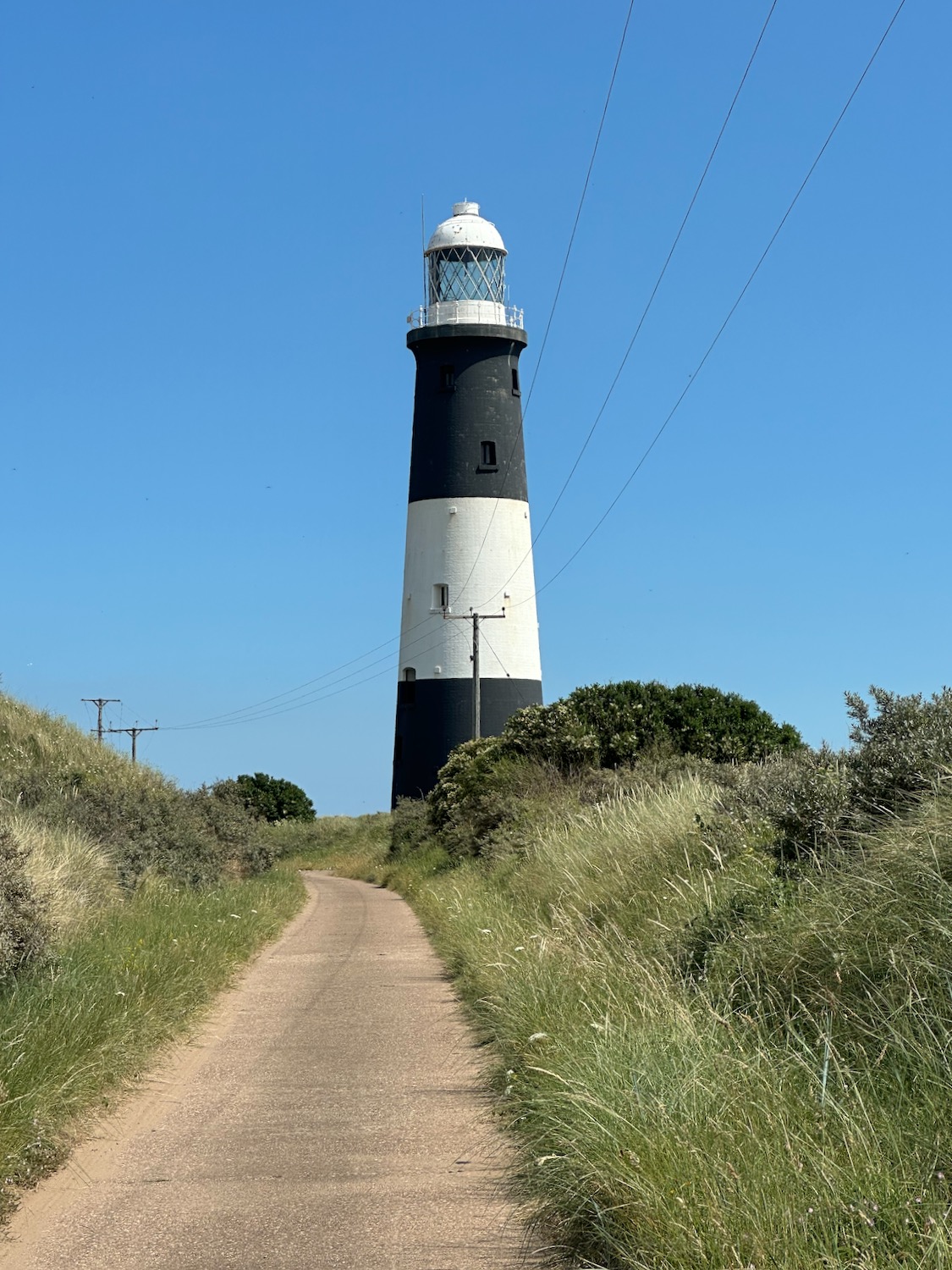
After a mile or so we pass the lighthouse, which is unfortunately closed today – it would have made a welcome escape from the heat.
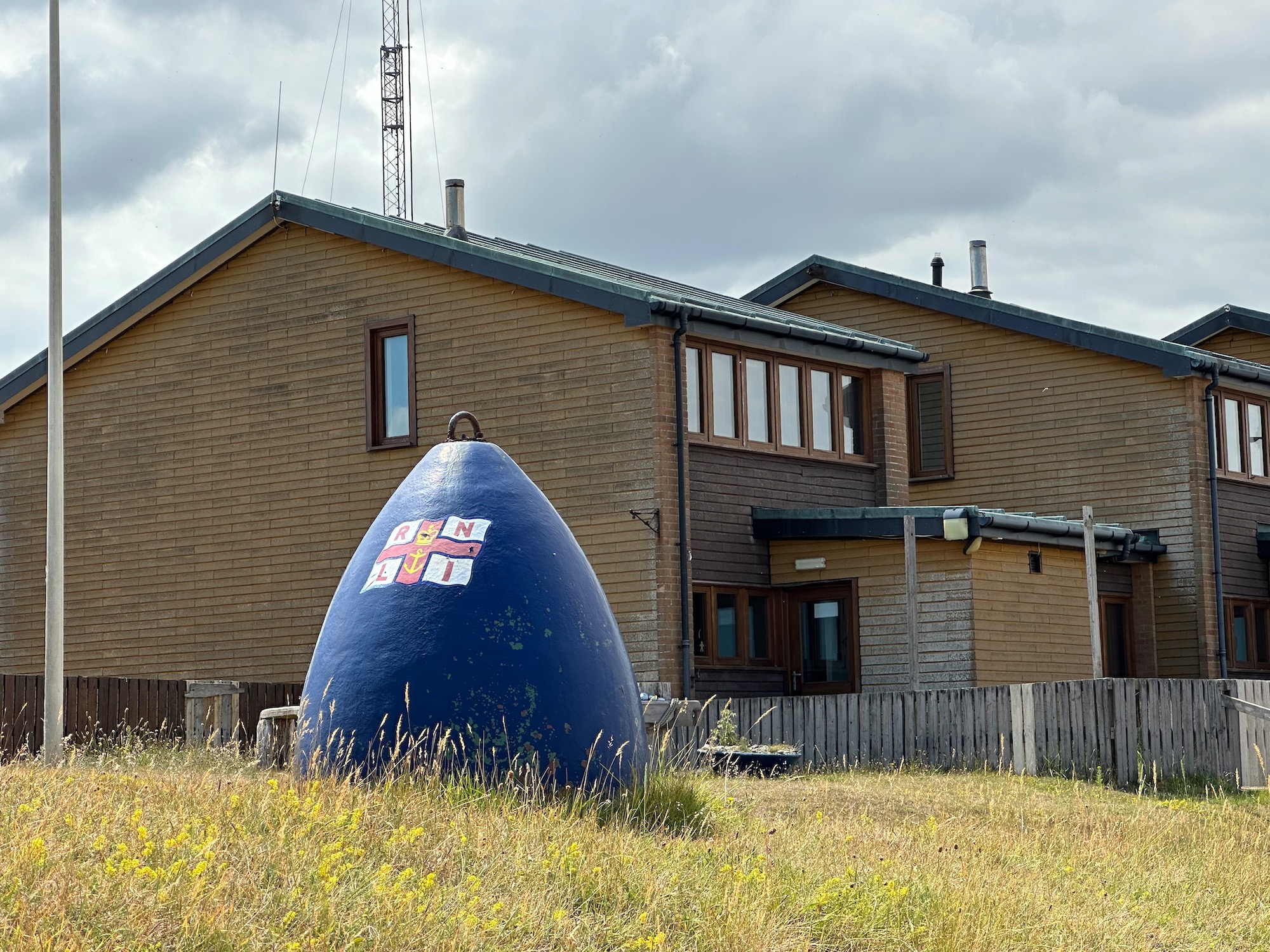
And a little later we reach the buildings of the Humber Pilot Station, set up on Spurn Point to guide large commercial ships safely through treacherous shifting sandbanks and strong tides.
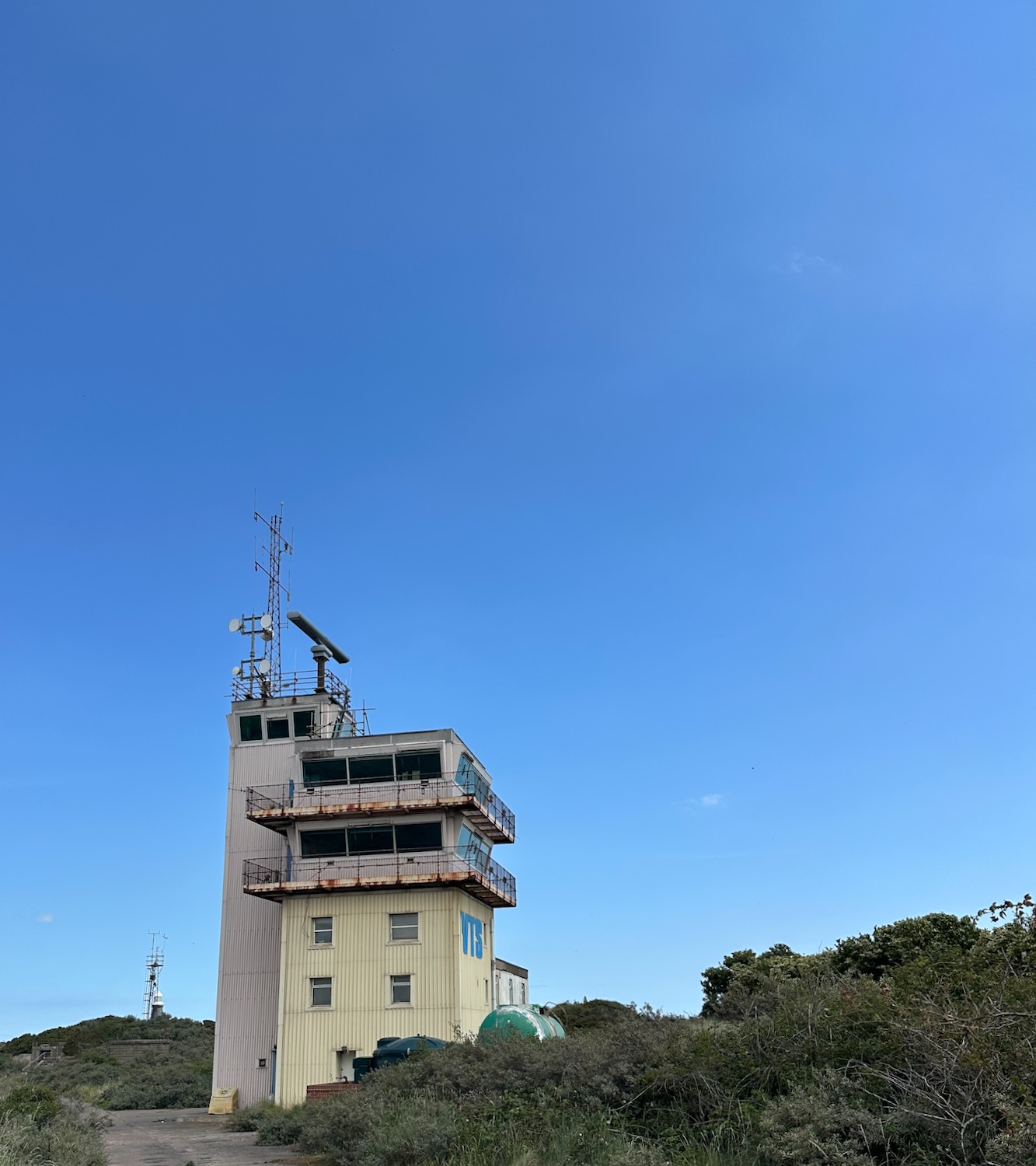
Well, they’re not doing much today – the place is deserted.
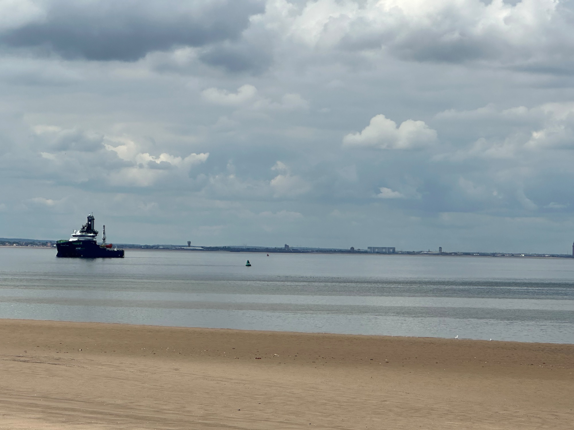
A substantial jetty reaches out into the still waters.
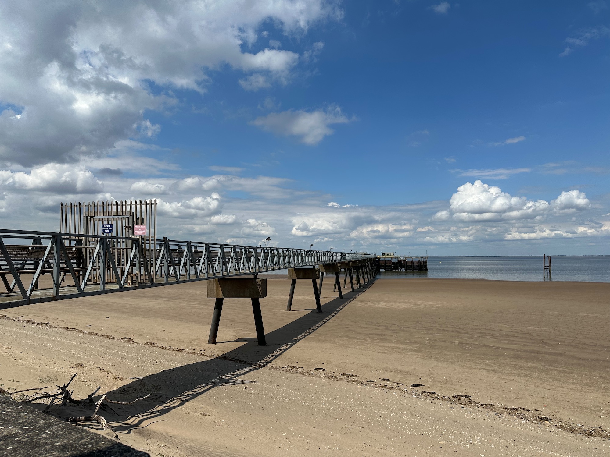
A single ship patrols the area………..
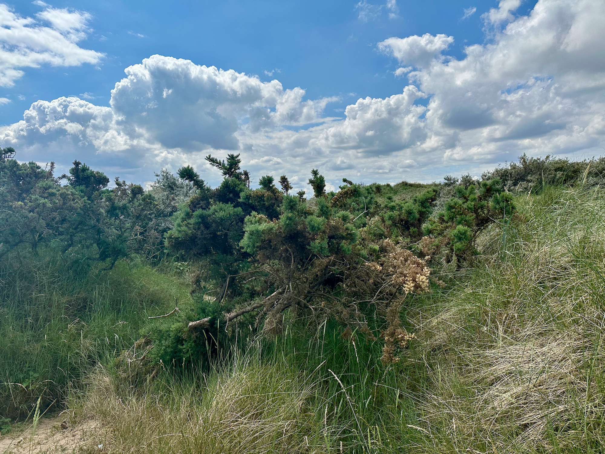
And so we move on, up into an area of impenetrable spiky scrub – no sign of a path and not really anywhere we can plant our flag and claim to have reached The Point
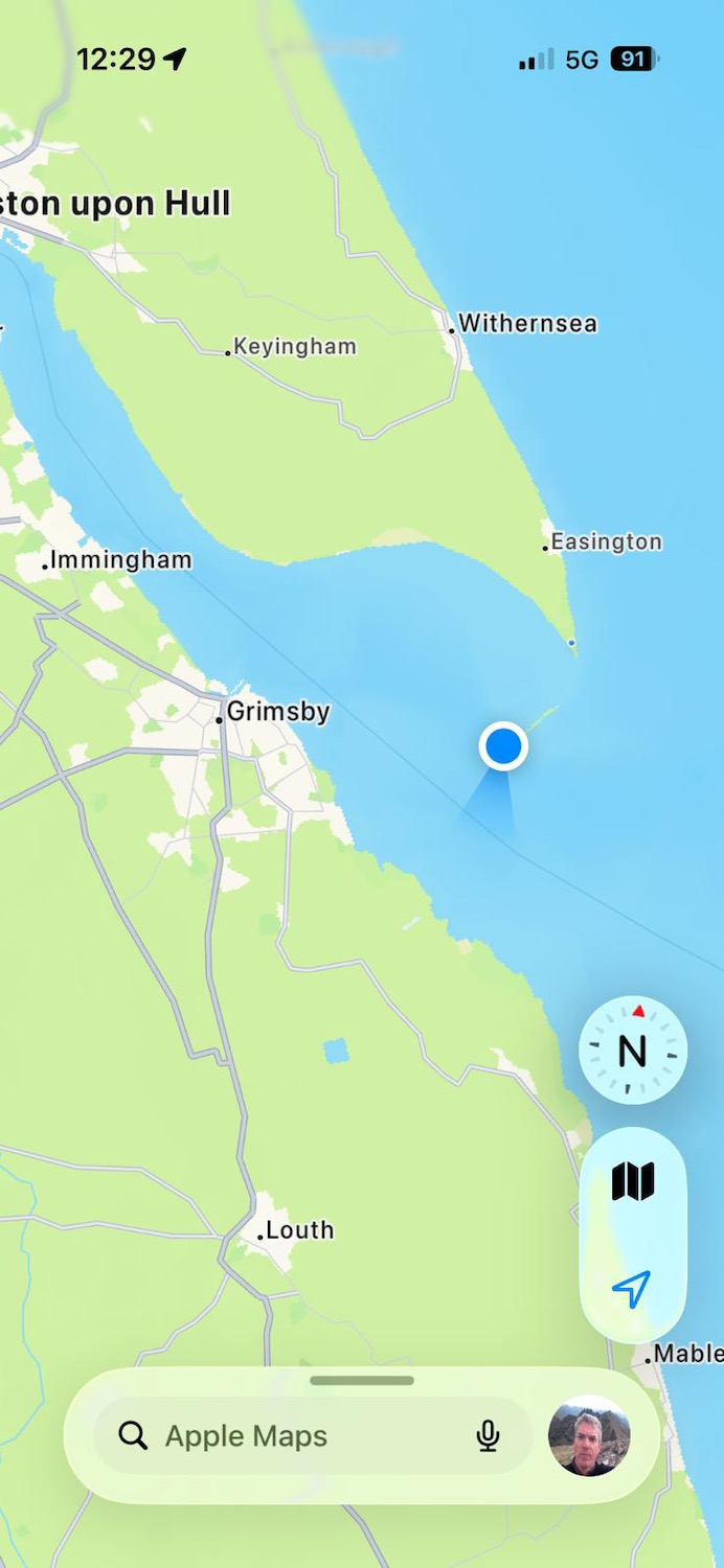
But of course we have…………………………the blue dot marks the spot.
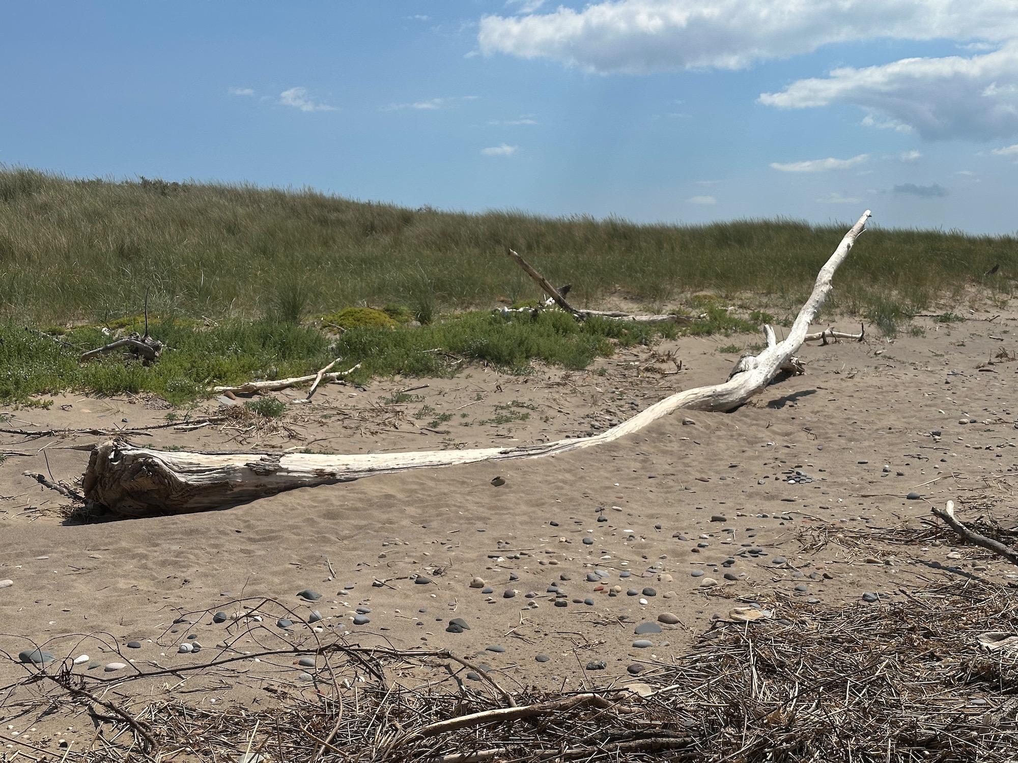
So we retreat and move onto the beach, having elected to walk around the Point and back by another route. Would like to take this piece of driftwood home with me.
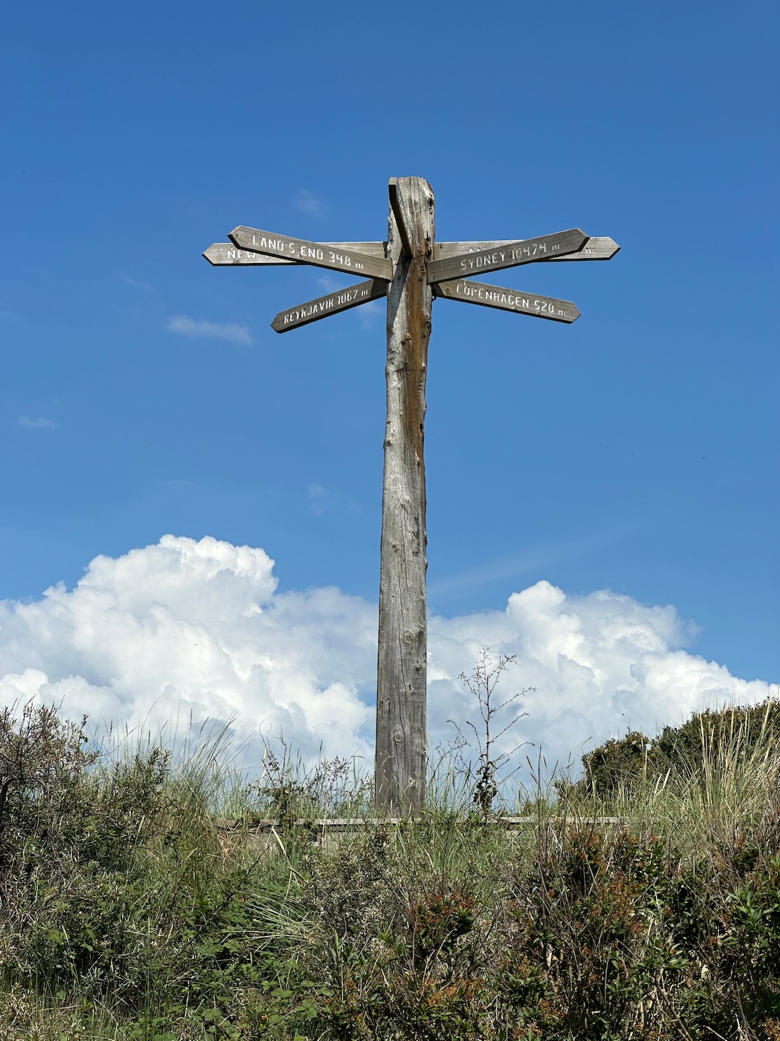
We are now looking for a path off the beach and this is what I was looking for………..Copenhagen 520 miles…………..in another life.
The path leads us up into the dunes and runs back to the road we came up on – we get another look at this lovely old lighthouse.
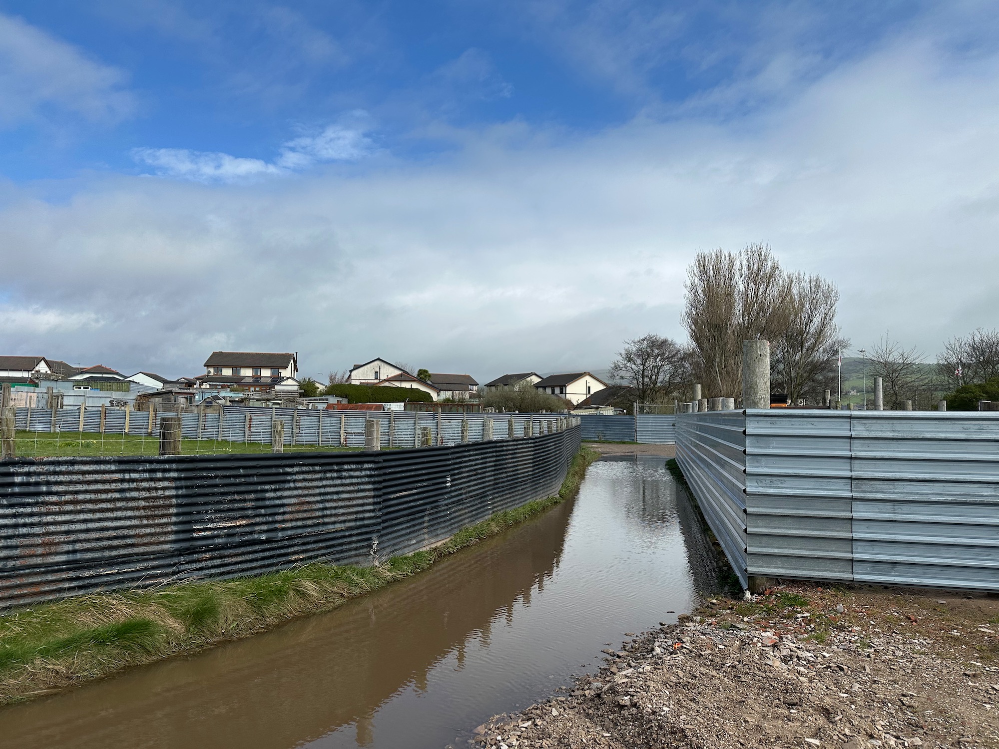
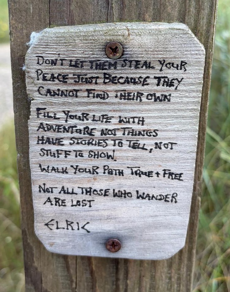
And fencepost philosophy on the road home……………
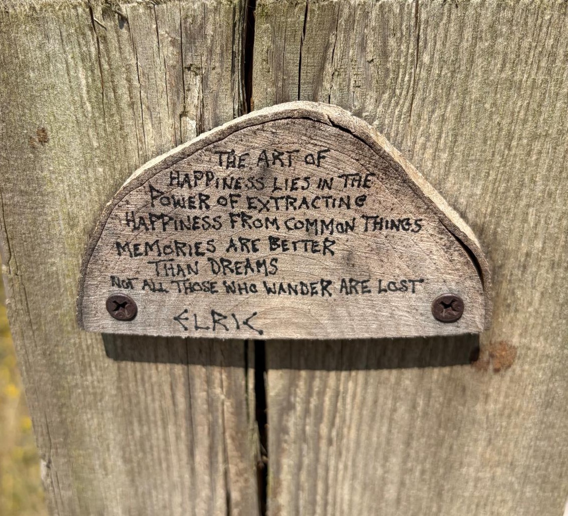
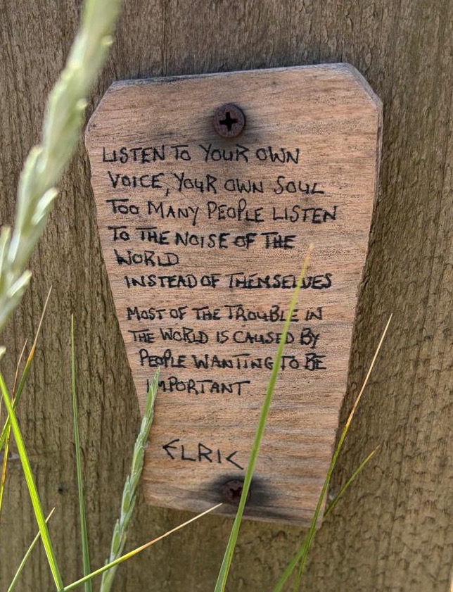
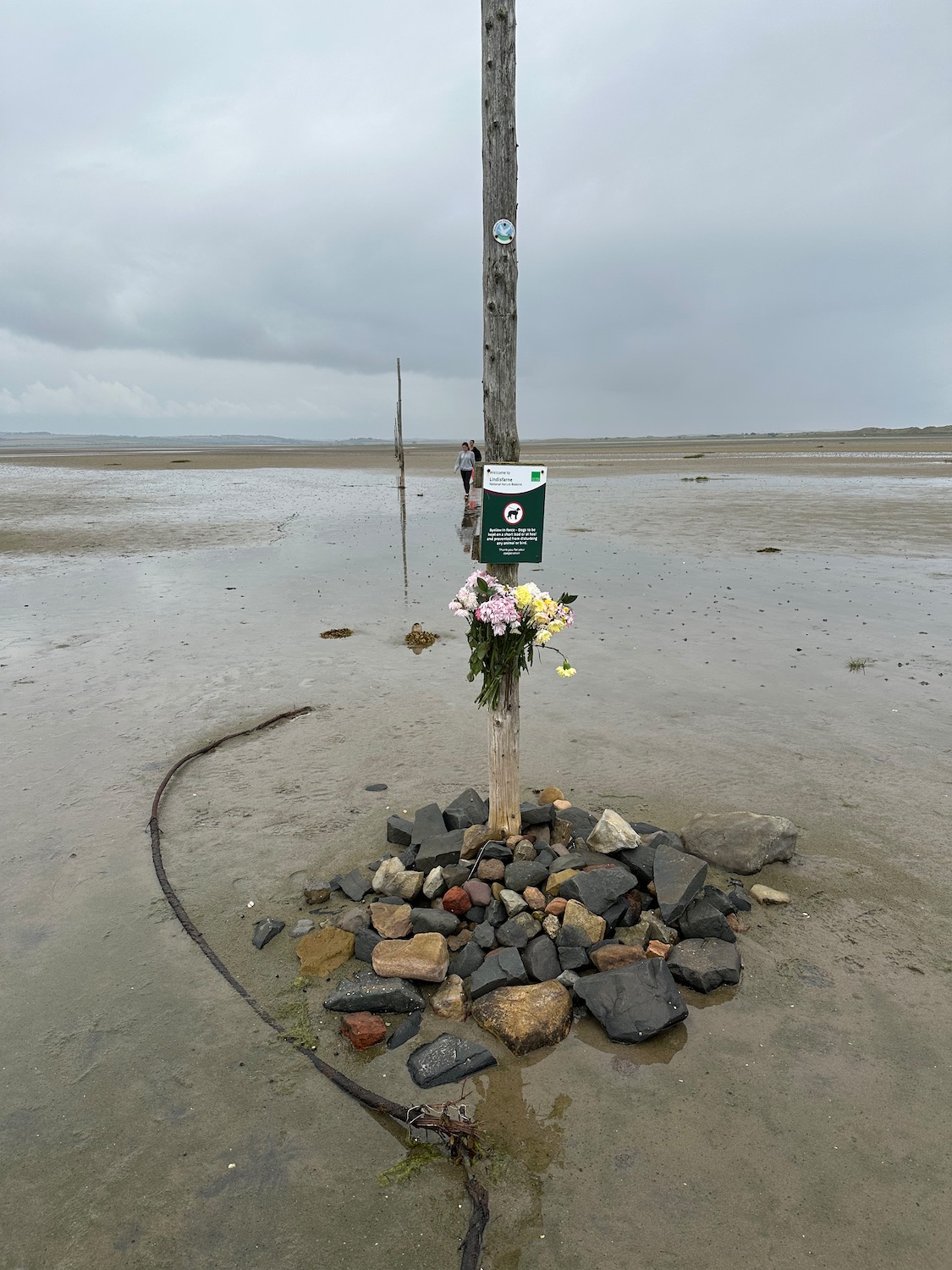
Couldn’t have put it better myself……………………..
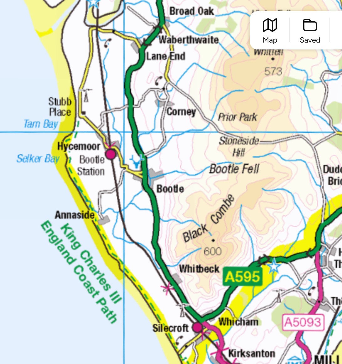
Distance: 9 miles