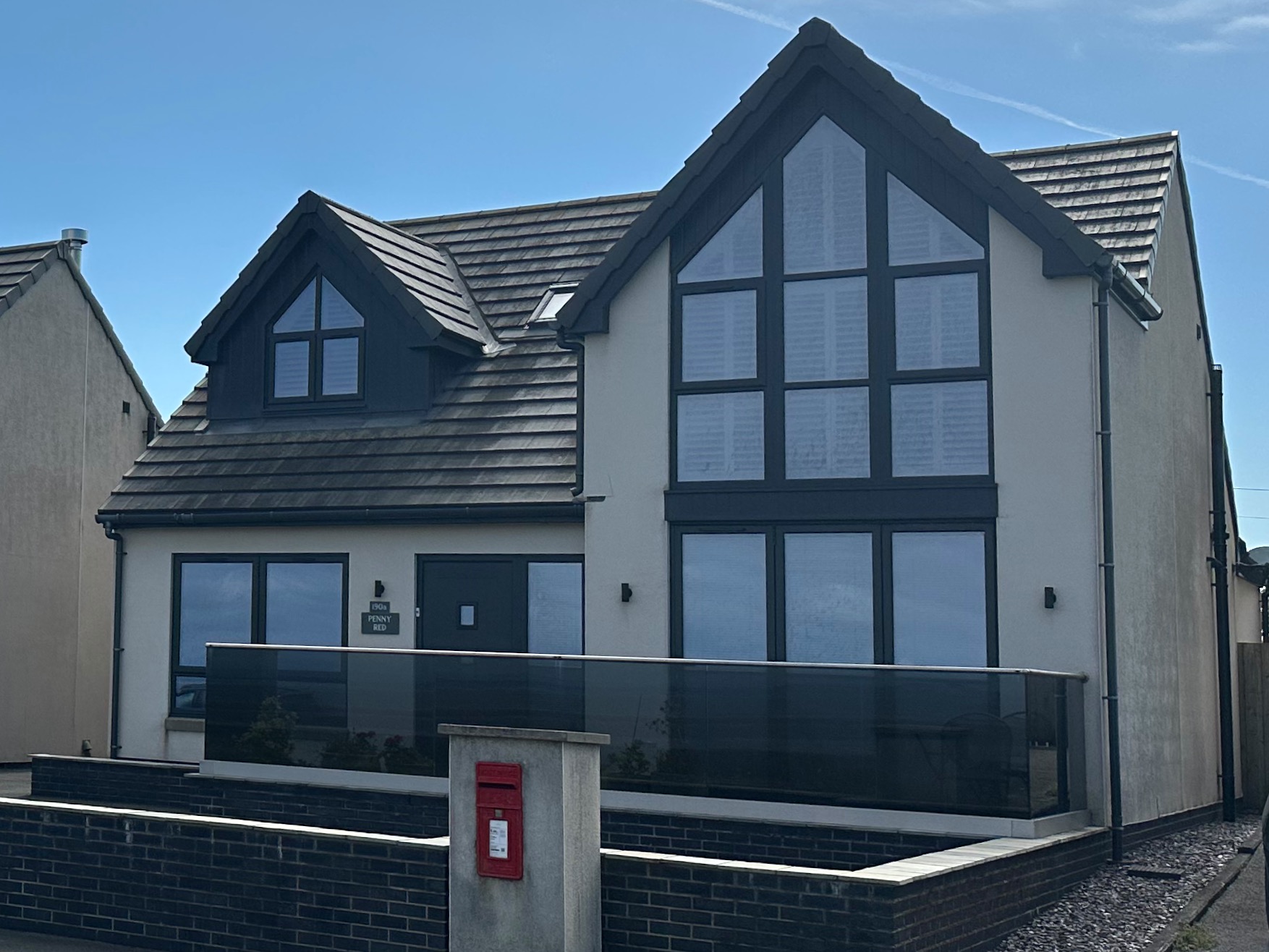
Our angel AirBnb host has again gone the extra mile by driving with us to Beckfoot, where we leave our car and then taking us on to Skinburness – needless to say he got a glowing review. We get out of his car opposite an eminently forgettable house just outside the village. It’s only saving grace is a red letterbox on the front wall. Time to lace up….
We choose a spot on the map ten or eleven miles north of Maryport and our very generous AirBnb host offers us a lift – wonderful! He drops us off in a carpark just before Beckfoot and close to a boardwalk leading to the sea.
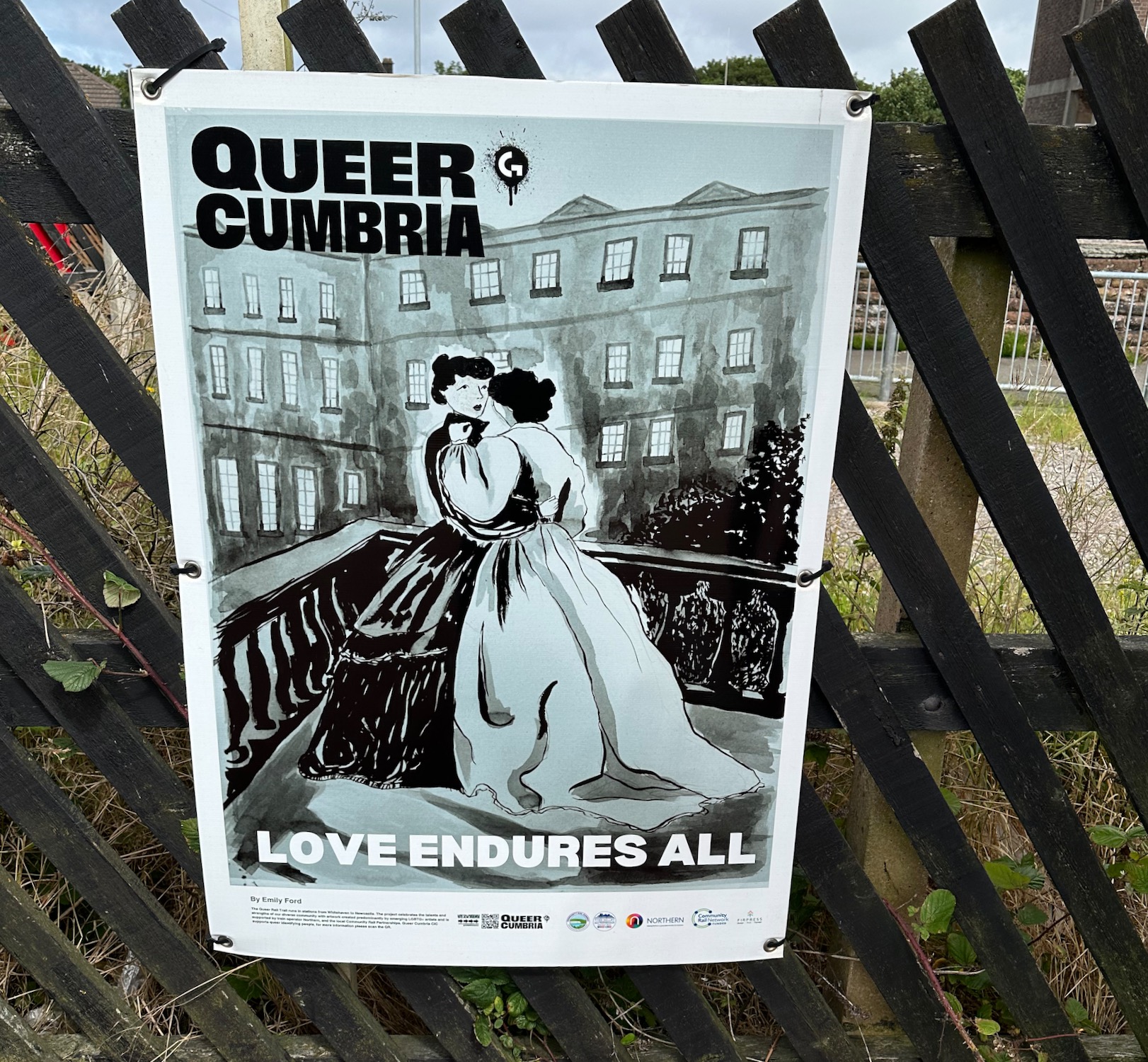
Waiting for the train to Workington we read up about “Queer Cumbria” – a grassroots collective that organises creative workshops and community events to support LGBTQ+ individuals across Cumbria and the Lake District. Not quite sure what this is all about but I support the sentiment.
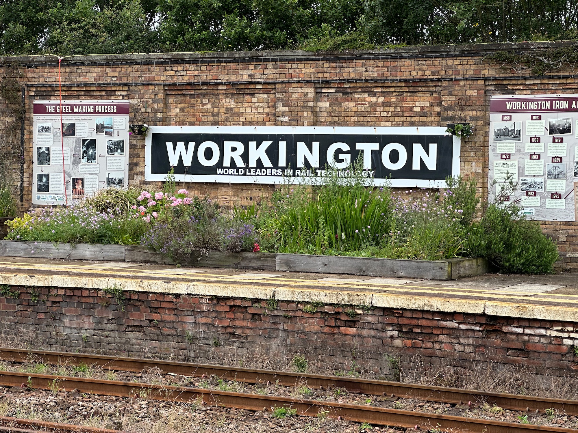
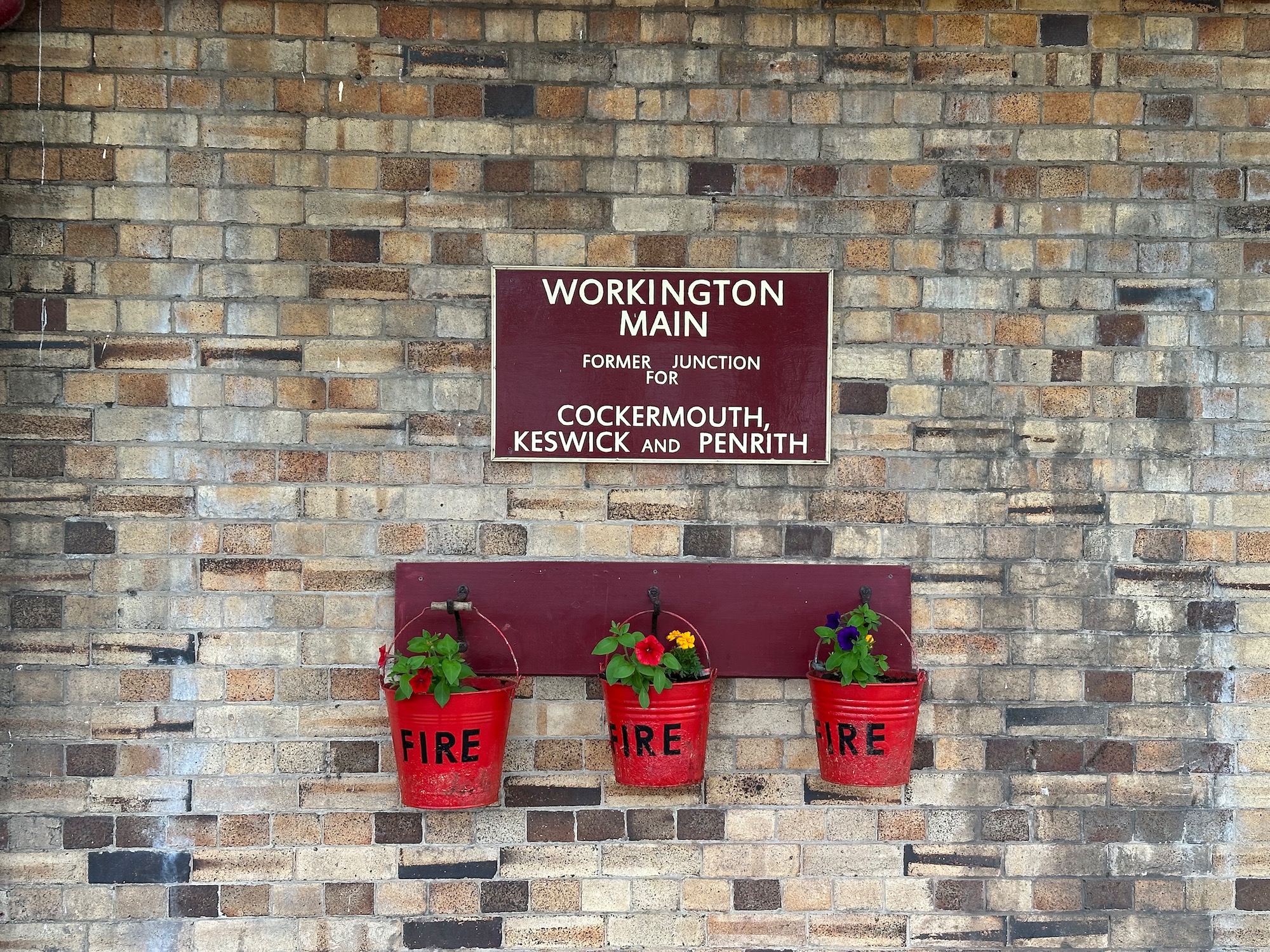
Based in Maryport now for a few days we drive south to Workington station where we take the train to Harrington. The station is immaculate with some well tended plantings, and the information boards tell us that during the Industrial Revolution the town was a centre of a thriving iron and steel industry. “A World Leader in Rail Technology” to boot.
The train from Ravenglass takes us one stop up the line to Drigg – it will be a very short walk today as we are planning to drive north to Maryport later this afternoon.
An information board near the station tells us that Drigg may have got its name from the Old Norse word “drege”, used to describe the dragging of Viking longships up onto the beaches nearby. Once on shore these invading hordes would steal horses to plunder villages inland. Place names indicate that they did however settle well in the area – it was not all rape and pillage.
From Drigg we head north east along a minor road before turning off right onto a footpath which will take us across the meandering River Irt, by way of an ancient packhorse bridge – Holme Bridge on the map.
We stand and contemplate for a while……..
On the other side of the stone bridge we go though the gate and up a steep incline through a patch of woodland which peters out all too soon.
From here it’s a walk along the edges of fields, onto a minor road which takes us down to the Esk estuary (again) and along the King Charles England Coast Path. We walk along the edge of an area of mud and sand called Saltcoats. Turning a corner we are surprised to see Ravenglass in the distance – that was quick!
As we get closer to the village I notice that we have a narrow ribbon of water to cross – the word “ford” leaps out at me and I start to worry that we may have to do a bit of wading again. But no I am relieved to see a solid pedestrian bridge running next to the railway line which takes us safely over to the village green.
I am about to cross the road which will takes us back to our car when a piece of public art catches my eye. Finished in 2013 it is the work of Maggy Howarth, a mosaic artist, and depicts a stylized Roman merchant ship – a reference to the history of Ravenglass in the 2nd century when it functioned as a Roman naval base.
And so we are reunited with our car – goodbye to the Esk for now.
Leaving the car at Bootle Station we take the train to Silecroft – it takes seven minutes.
At Silecroft I suddenly realise we have no water and the map is not showing anywhere to buy some for the duration of our walk. Looking round we spy what looks like a gift shop on the platform – it is closed but there are two women outside the door having a morning chat. Presenting my case, one of the women smiles and tells us to wait while she scuttles off into a back room and comes back with two bottles of water – she will not take any money and waves us on our way, what a nice way to start the day.
Editors note:Word Press has stopped supporting Google maps on emails so if you want to see the map you have to click on “Read on blog”
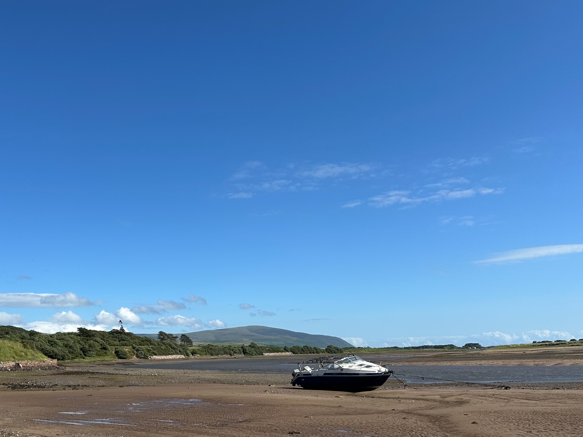
We arrive in Ravenglass from Yorkshire late afternoon – just enough time for a hop, skip and a jump to investigate the water levels in the estuary, and join two dots left hanging by a high tide. It is a perfect afternoon, not too hot – a small boat sits high and dry on the mud and sand.
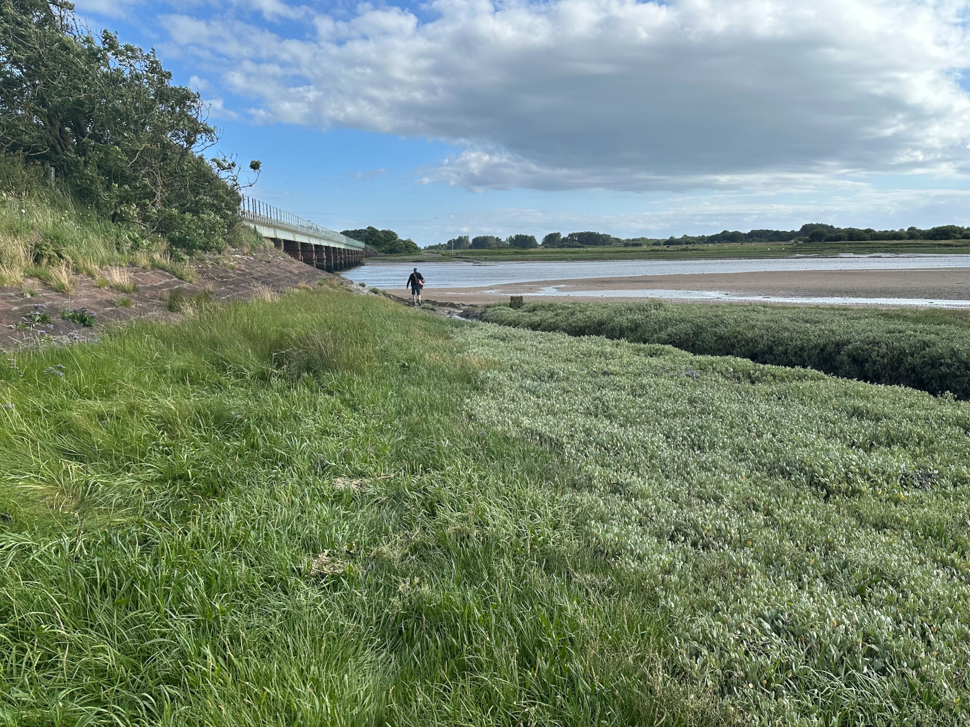
We follow a vague path along the bank, until the undergrowth thickens up and we have to watch where we put our feet, hopping over small streams trying to avoid soggy ground.
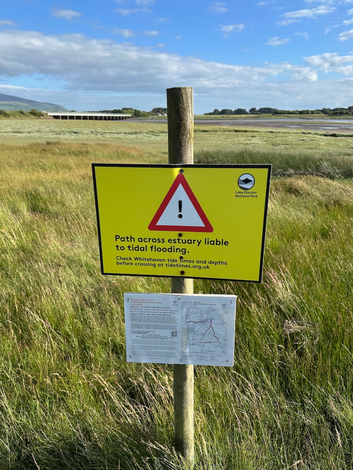
As we approach the bridge the going gets easier……………….but we are reminded.
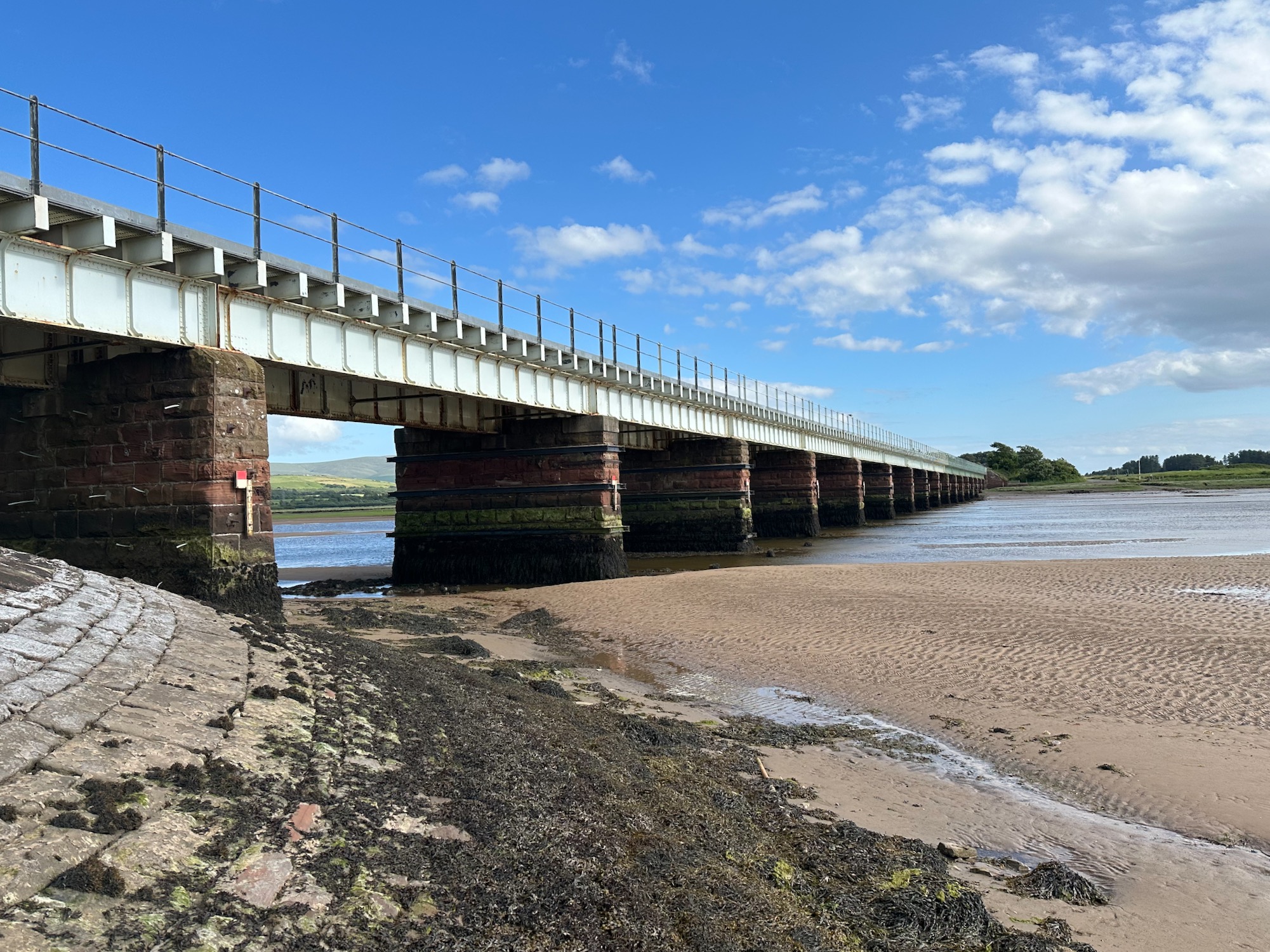
And soon we’re standing on the bank of the river Esk looking across to where we had to turn back last time. It is now between low and high tide and a couple of sandbanks can be seen. Should we try now or leave it til low tide tomorrow when we’ll have plastic sandals and more time? We dither and turn back.
To be continued……………..
Distance: 2 miles
Crossing the Esk 4.7.26
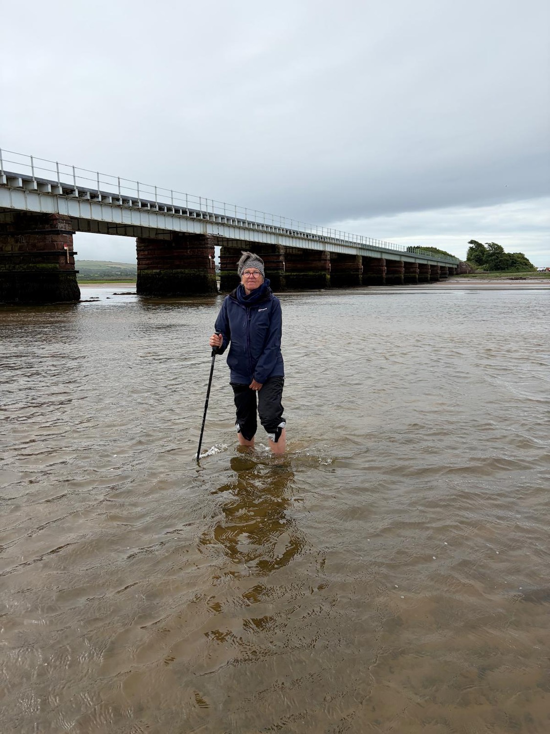
A few days later we drive back to the far bank of the estuary armed with plastic sandals – a red flag is flying to indicate shooting nearby on the Eskmels firing range. A car is parked close to where we intend to enter the water so I approach the driver to explain what we are going to do. He seems totally disinterested in a couple of mad punters planning to walk across the river and back again. as long as we don’t turn left and wander into the range. It is bang on low tide……
Deep breath…………
The first section is very muddy and my sandals are immediately sucked down a couple of inches. I nearly lose them and decide I’m better off without them.
Fortunately the mud soon turns into sand and then small pebbles and the mud on the far bank is a little firmer. And this is as deep as it gets.
Having accomplished our task we turn round and wade back across the river – the driver in the red car blanks us – he should really be grateful for a bit of light entertainment on this grey morning.
Back in our car we drive back to Ravenglass for a celebratory second breakfast – ok it’s not crossing the Rubicon but I am so happy to not have to think about it anymore.
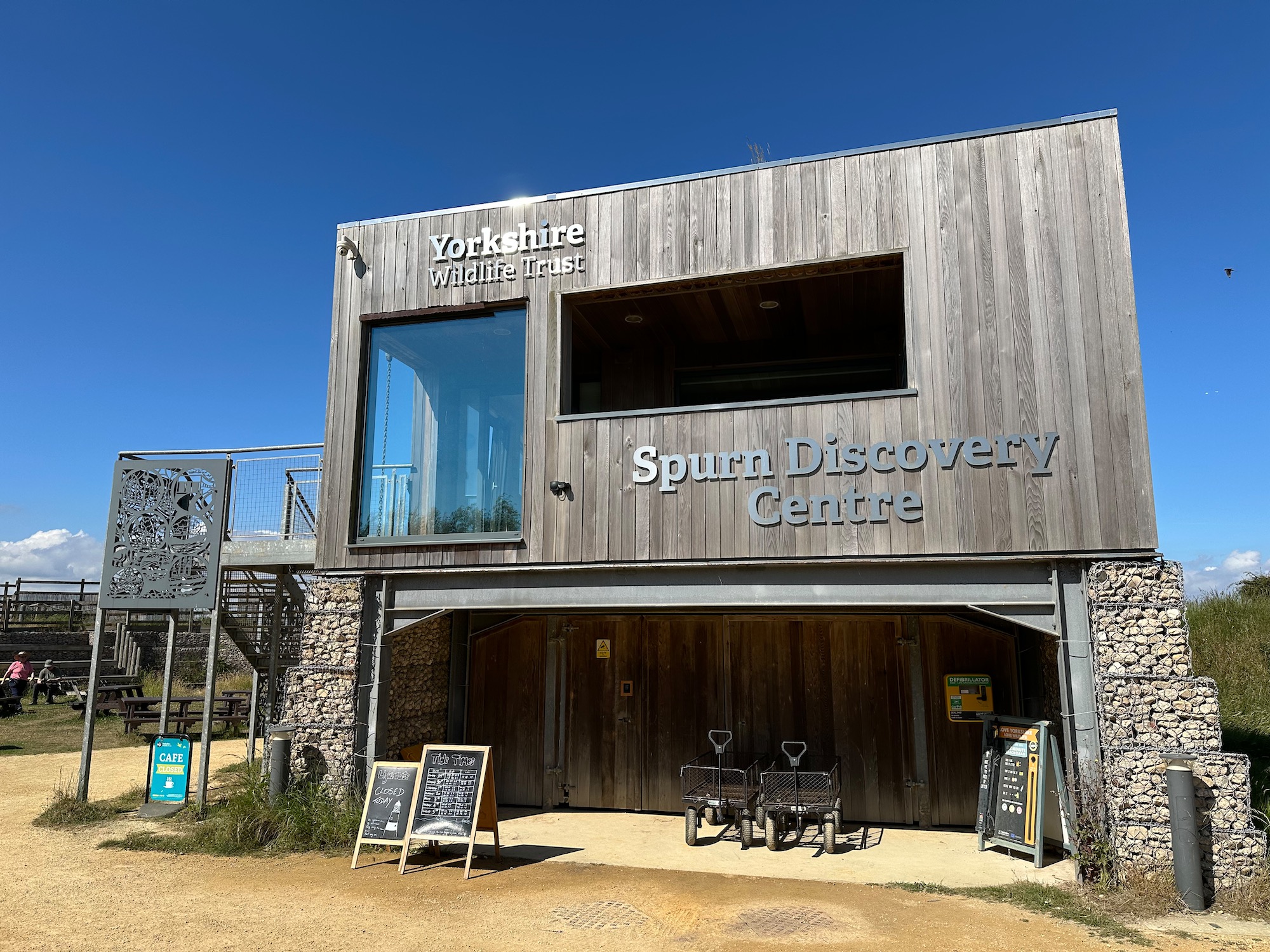
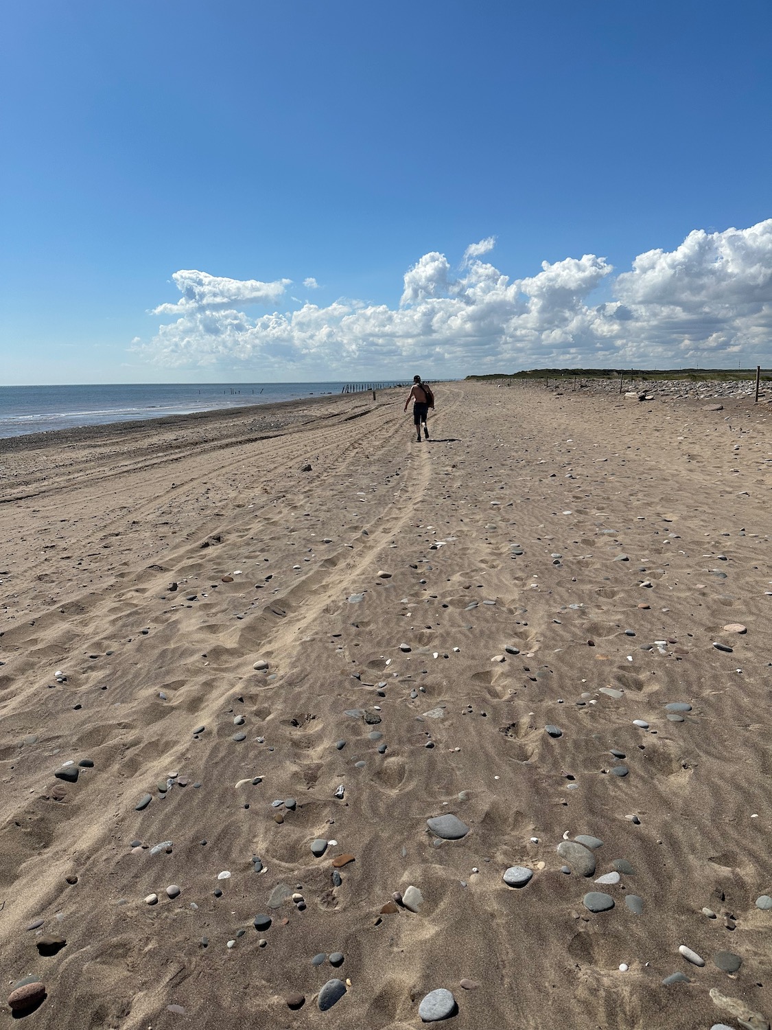
Well, we’re back for breakfast in the delightful Spurn Discovery Centre , joining up a couple of dots and breaking our journey up to Cumbria. It’s going to be a hot day (one of many lately) so I’m lathered in sun cream.
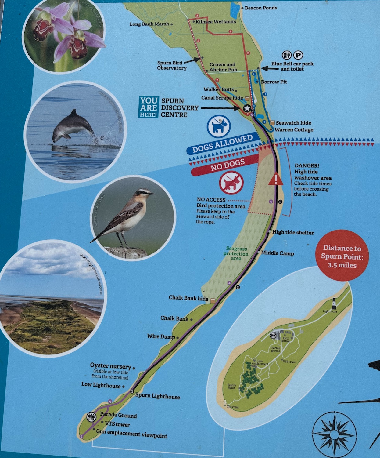
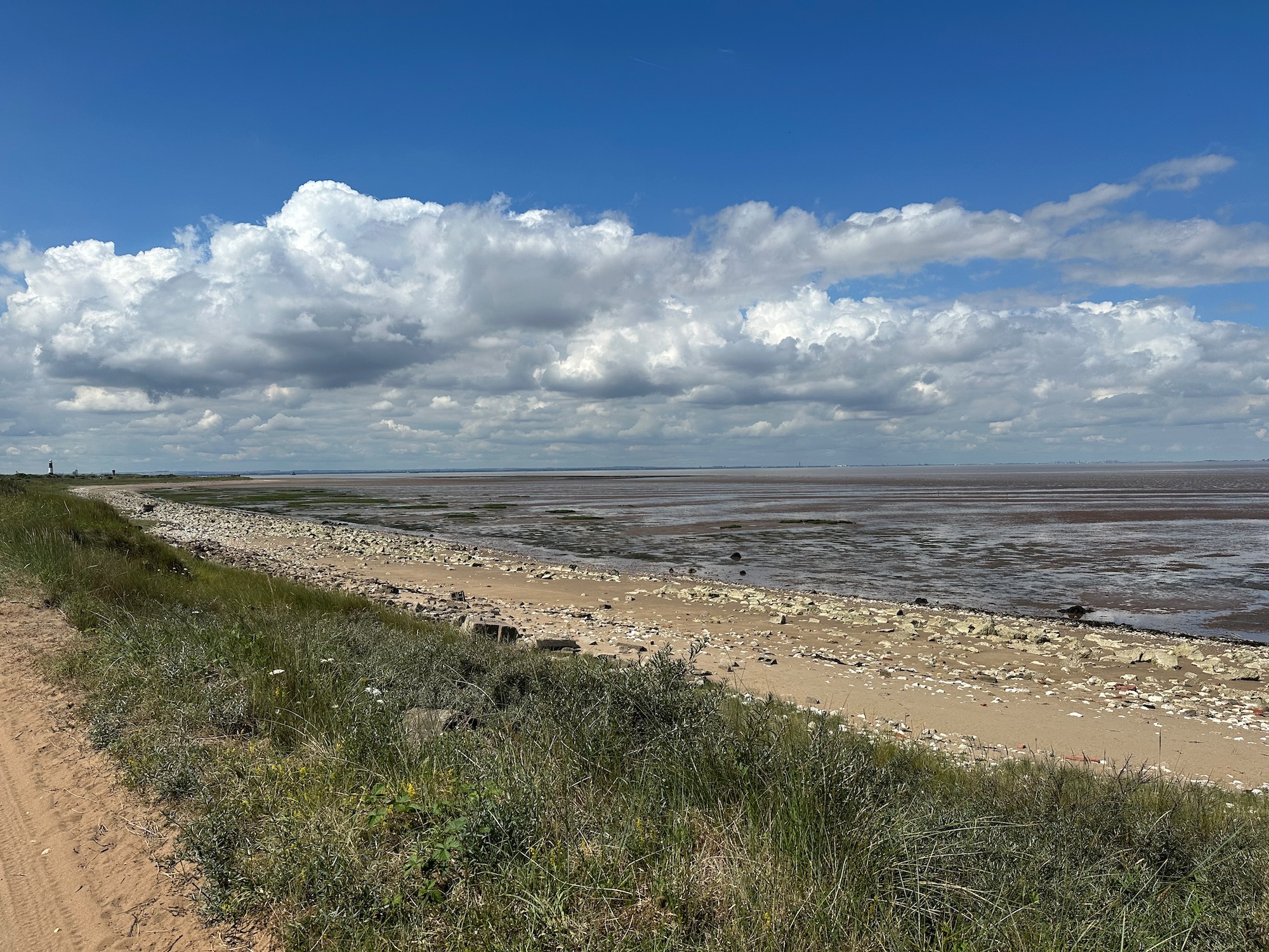
We start on the beach which is hard going in the soft sand, so at the earliest opportunity we join a rough track alongside the vast expanse of mud and sand leading to the mouth of the Humber Estuary. This area is marked as Greedy Gut on the map – a reference to coastal erosion. Locals and mariners historically gave vivid descriptive names to dangerous, shifting guts and channels that seemed to “eat” the neighbouring banks or threaten passing craft.
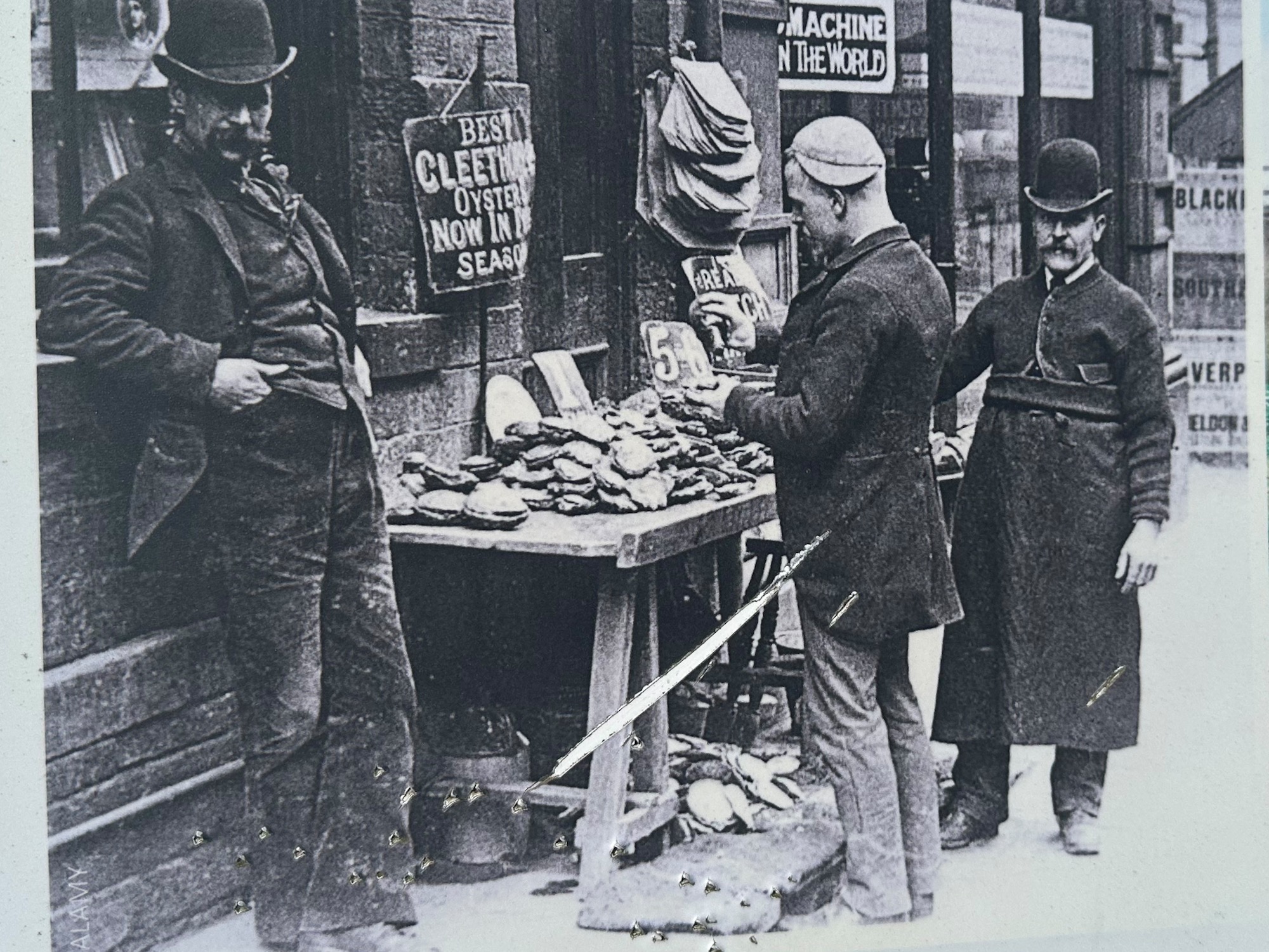
We pass a few boards with information about the history of the oyster industry in the Humber Estuary which, in the 1800’s, was capable of cultivating 10 million native oysters a year. I love the bowler hats and handlebar moustaches.
Sadly, by the 1940’s the reefs had disappeared – usual story of unsustainable fishing practices, pollution and rising sea temperatures. In 2019 however conservation work successfully introduced an experimental population of native oysters into the Humber Estuary – still surviving today.
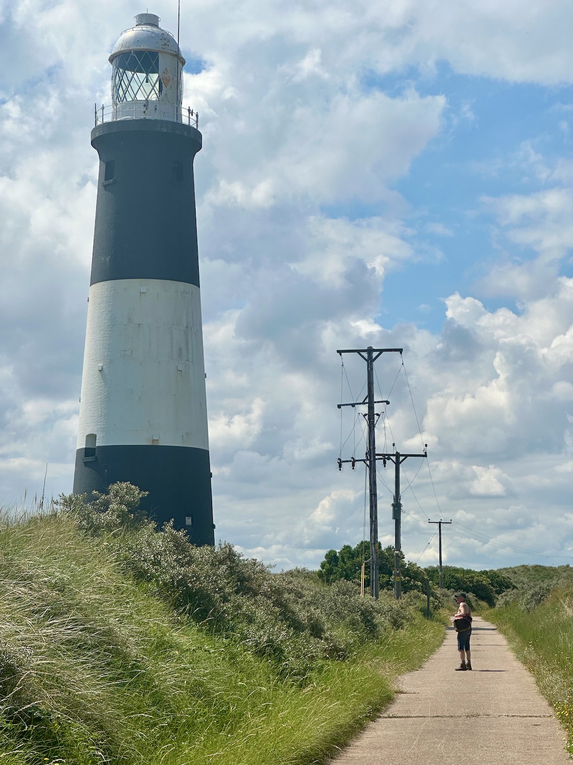
After a mile or so we pass the lighthouse, which is unfortunately closed today – it would have made a welcome escape from the heat.
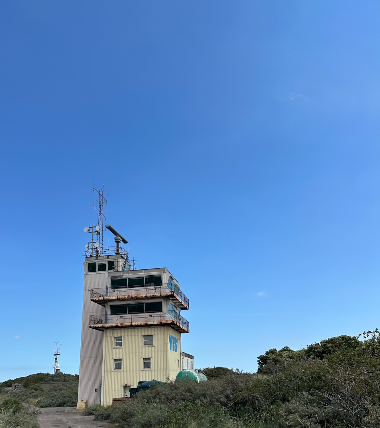
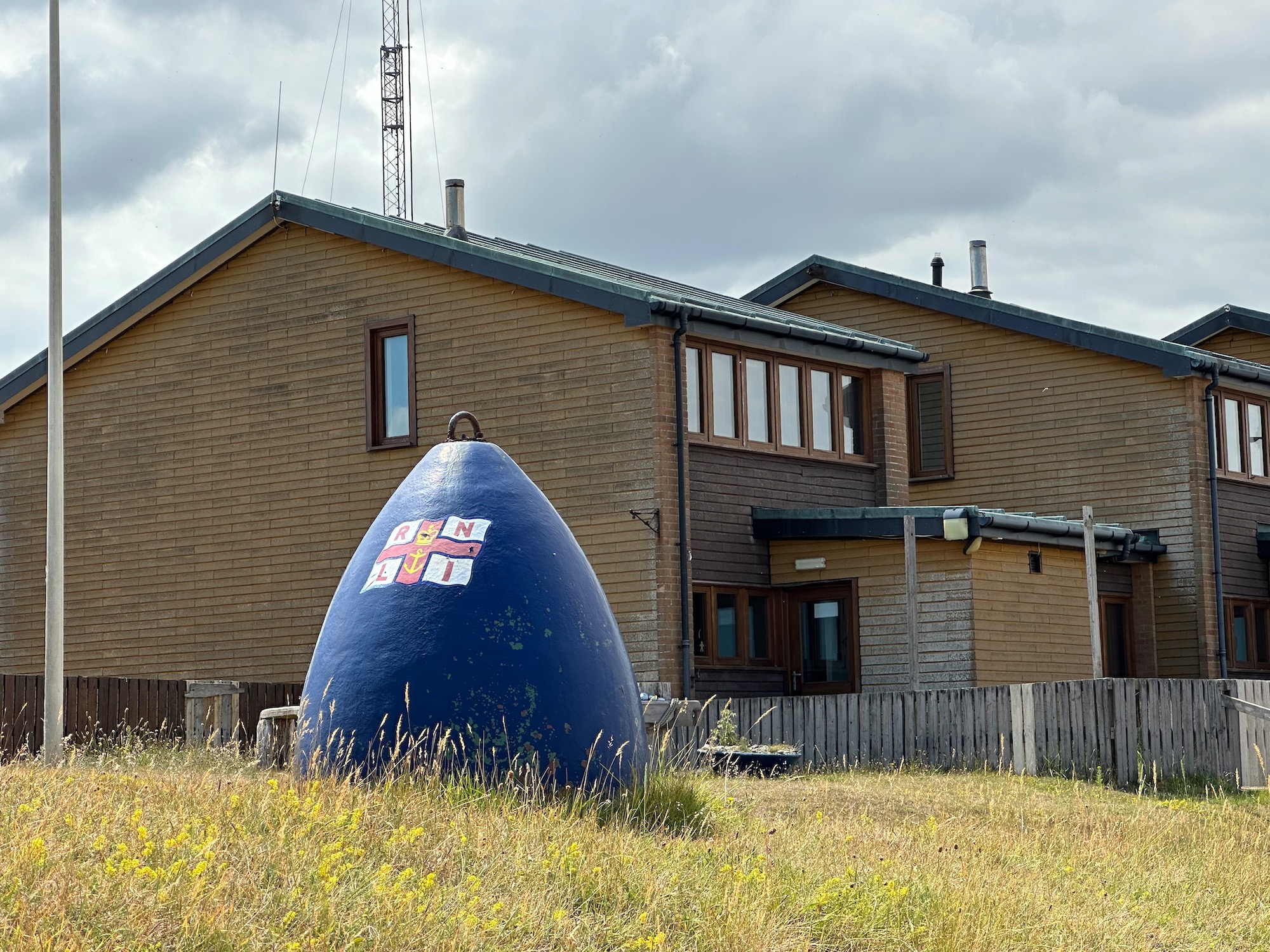
And a little later we reach the buildings of the Humber Pilot Station, set up on Spurn Point to guide large commercial ships safely through treacherous shifting sandbanks and strong tides.
Well, they’re not doing much today – the place is deserted.
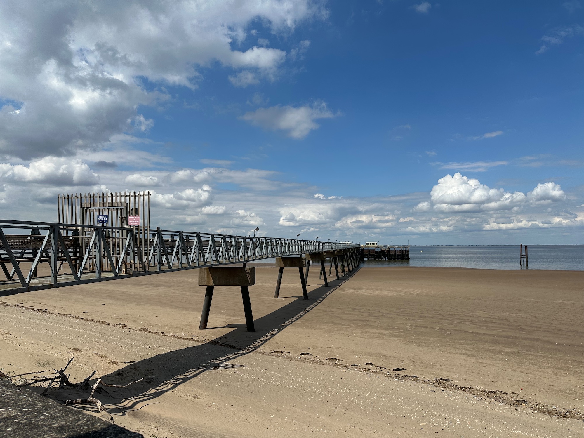
A substantial jetty reaches out into the still waters.
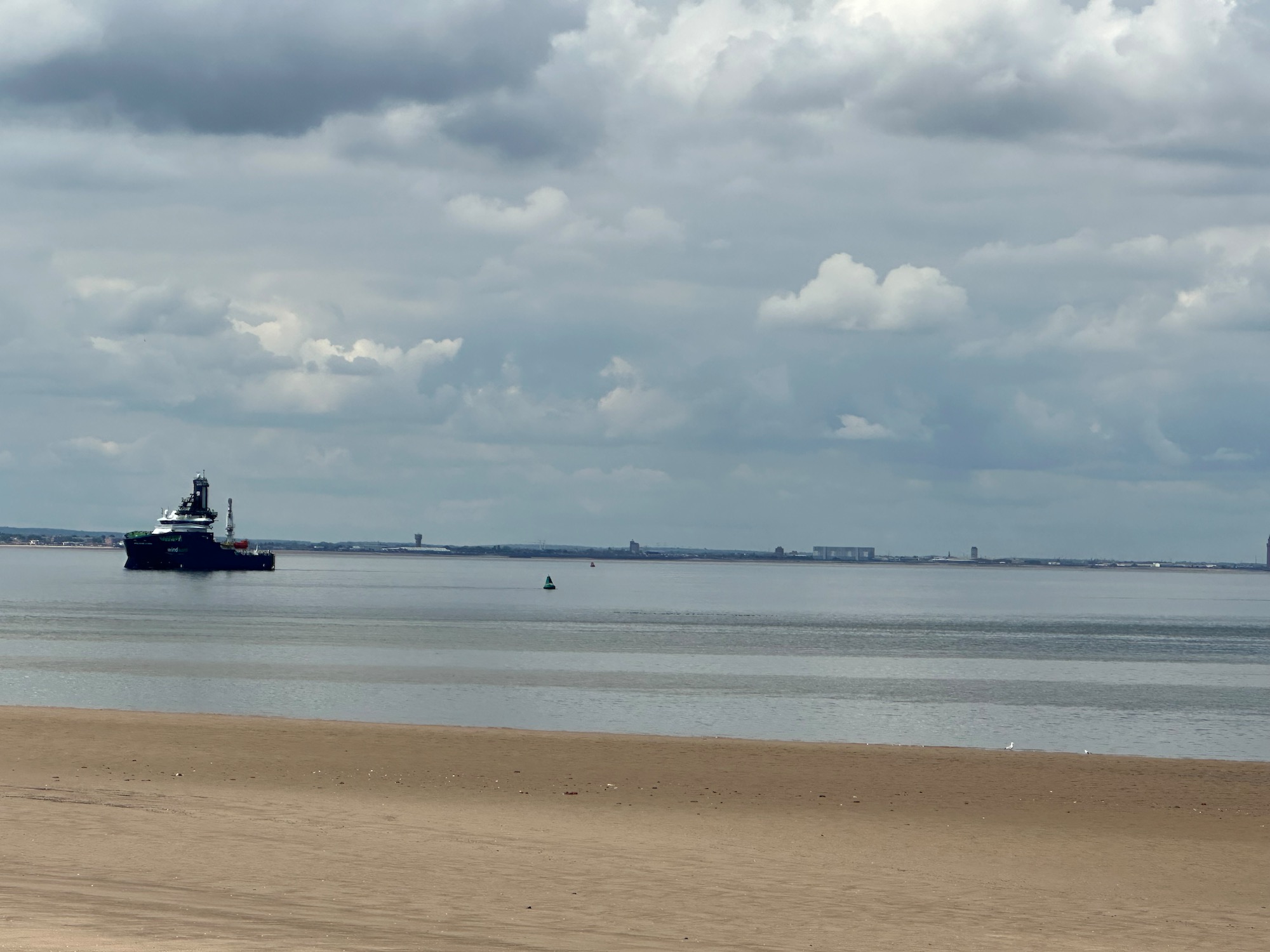
A single ship patrols the area………..
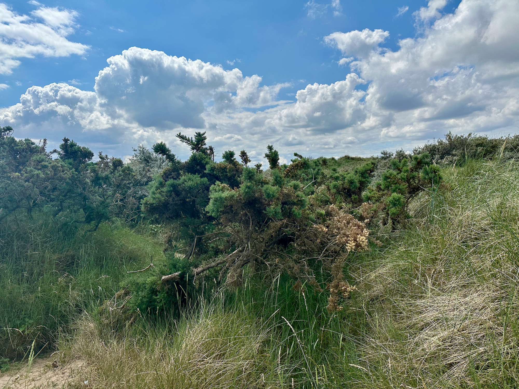
And so we move on, up into an area of impenetrable spiky scrub – no sign of a path and not really anywhere we can plant our flag and claim to have reached The Point
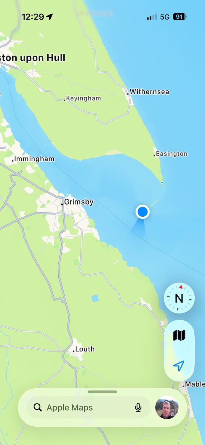
But of course we have…………………………the blue dot marks the spot.
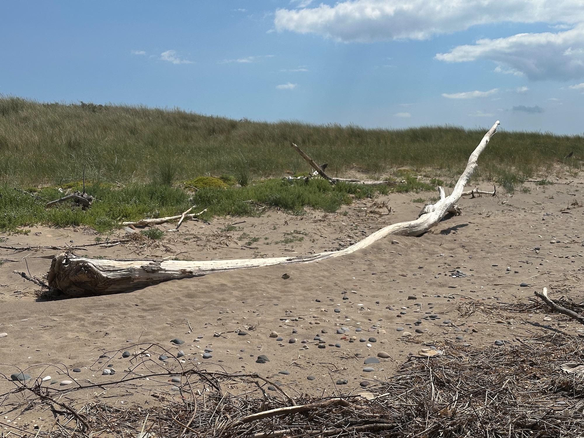
So we retreat and move onto the beach, having elected to walk around the Point and back by another route. Would like to take this piece of driftwood home with me.
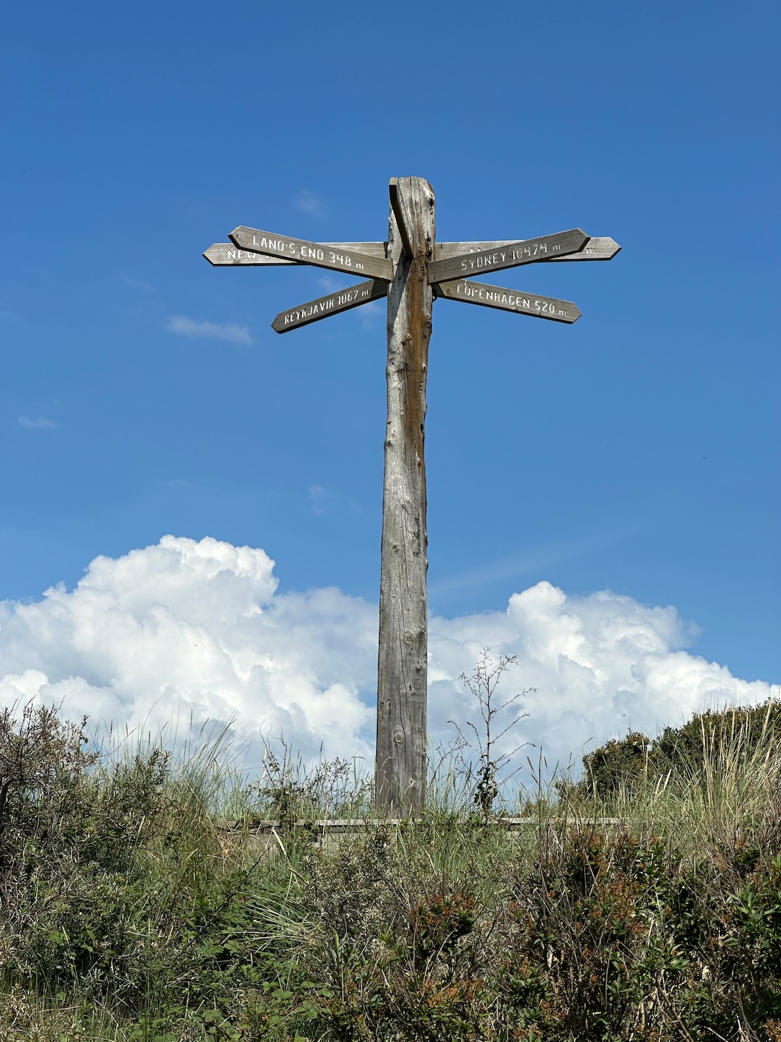
We are now looking for a path off the beach and this is what I was looking for………..Copenhagen 520 miles…………..in another life.
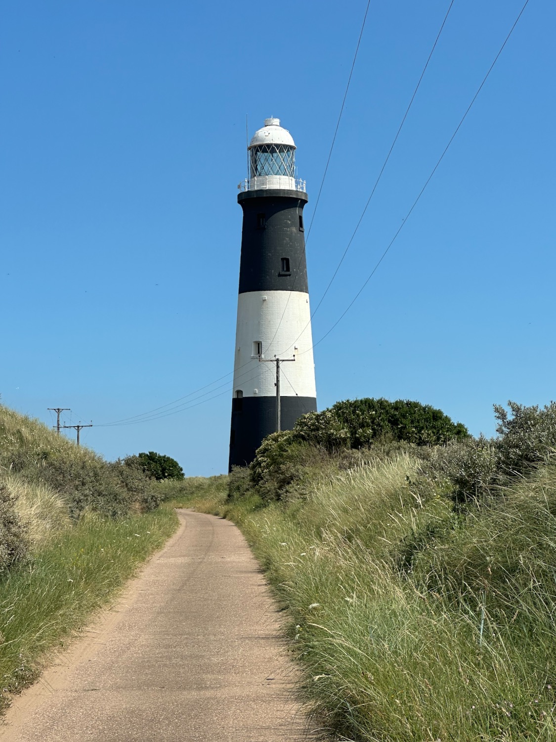
The path leads us up into the dunes and runs back to the road we came up on – we get another look at this lovely old lighthouse.
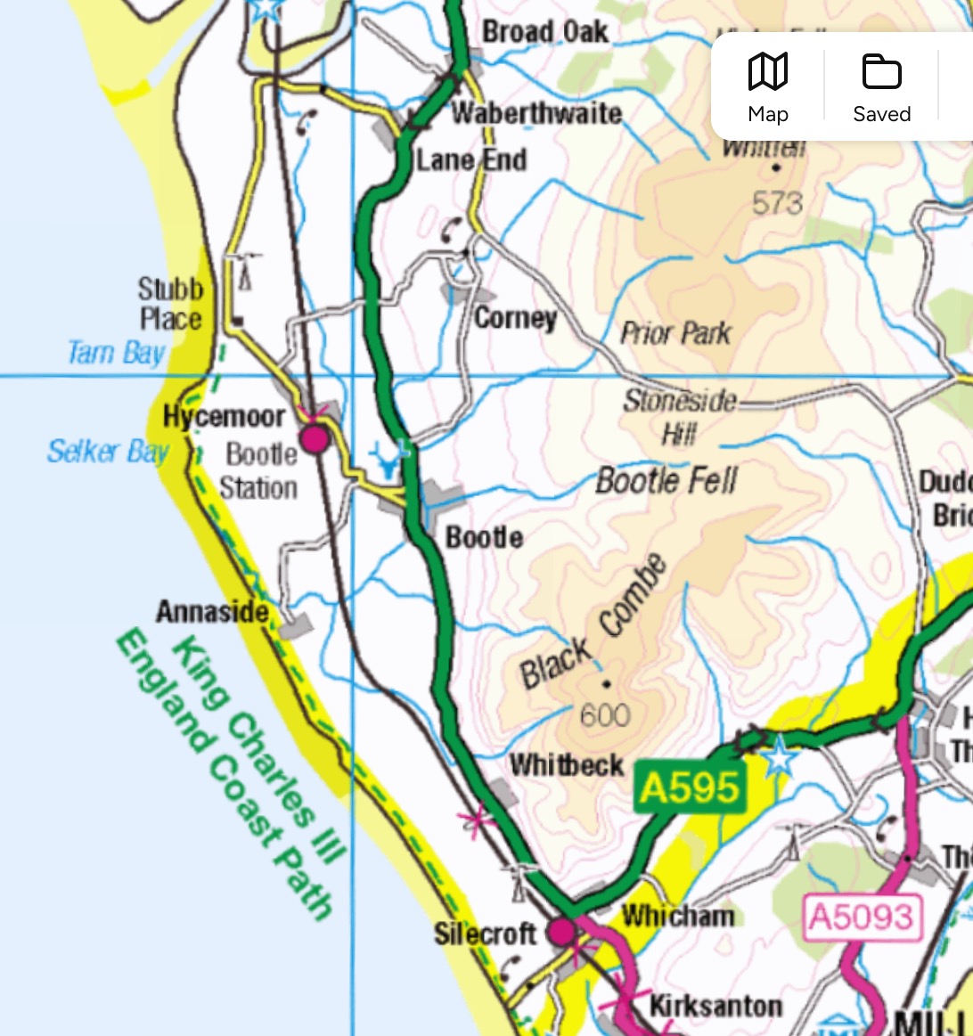
We have run out of time, so as our accommodation tonight is in Ravenglass, we decide on a shortish walk from Bootle to Ravenglass – yes you’re right, the title is different, but all will be revealed later. We have also hopped over a couple of dots which will be completed on our next trip in July.
The small green dashes are where we need to walk next time – along King Charles III England Coast Path 🎺🥁
Out of the back of Millom Station we head south on the coast path through an area that shows signs of previous industry. (no photograph, don’t know why). In its heyday, Millom Ironworks was one of the largest in the world, but was forced to close in 1968 after a failure to attract investment for new steel making processes. Since its demise, efforts have been made to transform the pits and slag heaps into a local nature reserve which opened in 2002 .