
This was a looooong walk, mostly because I got a bit lost, but more of that later.
 I set off from what turns out to be the Visitor Centre, taking the path westwards. It’s a grey morning but I’m hoping it will brighten up. The beach is deserted apart from a lone dog walker and choosing to walk the sea wall rather than the soft sand I make good progress.
 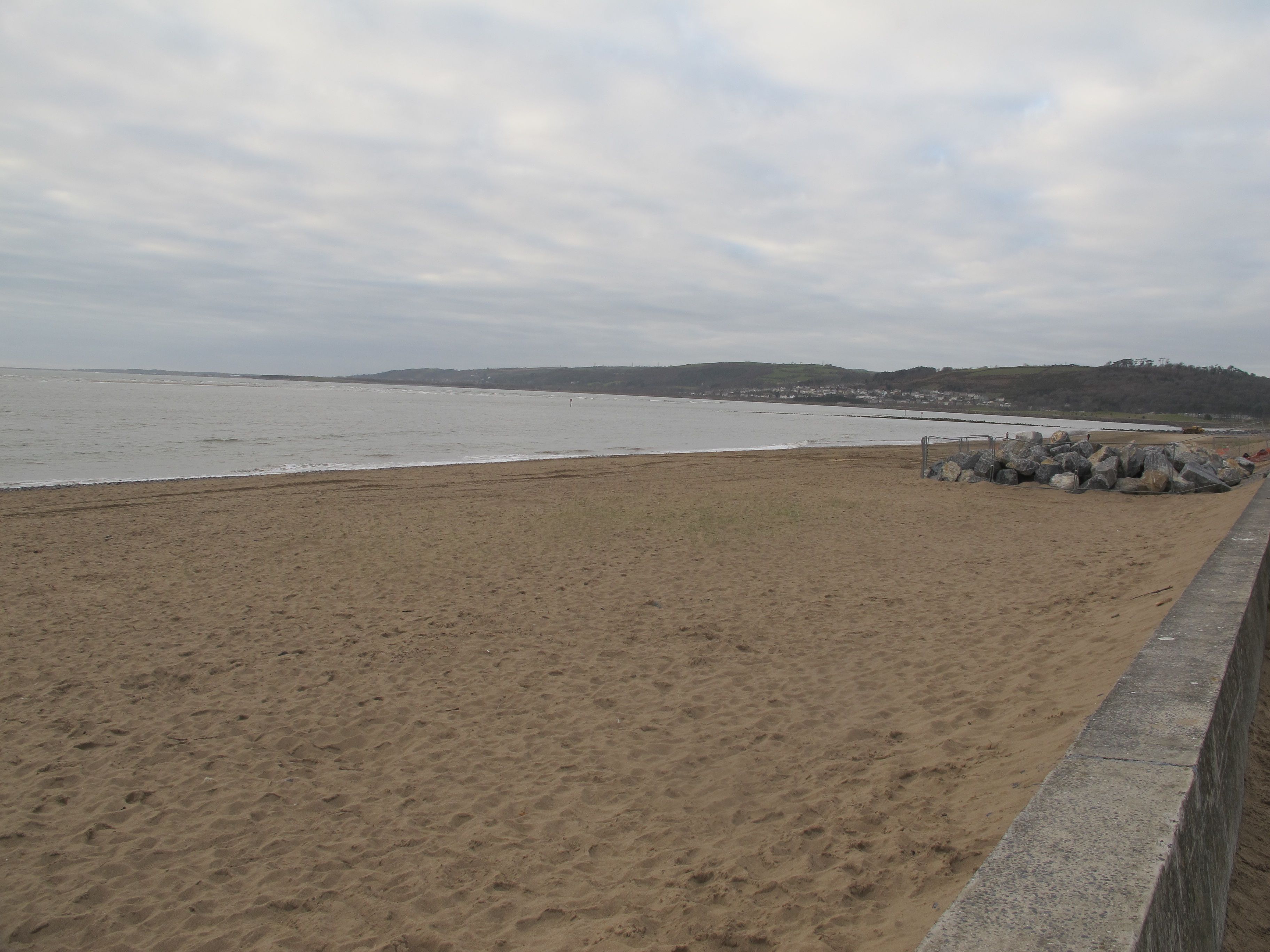 After a while the path winds up through landscaped parkland, sometimes branching off to lead into circular dry stonewall “nooks” with wooden benches – perfect for a quick snog (yes I’m still 15 at heart).
 I walk past man-made lakes where moorhens treat me to a show of synchronised swimming, a few morning joggers pant past me, eyes glazed. Later another Millennium Park sculpture comes into view, still not standing quite straight.
 ………and further still the nod to Welsh rugby. Myself, I’m not too keen on a sport that causes such injury and disfigurement, but my uncle played for Wales in the 60’s and most Saturday afternoons Dad would be glued to the telly, craning his neck to see around my mother who I’m sure would sometimes stand in front of it on purpose, pretending to dust – she was not a fan.
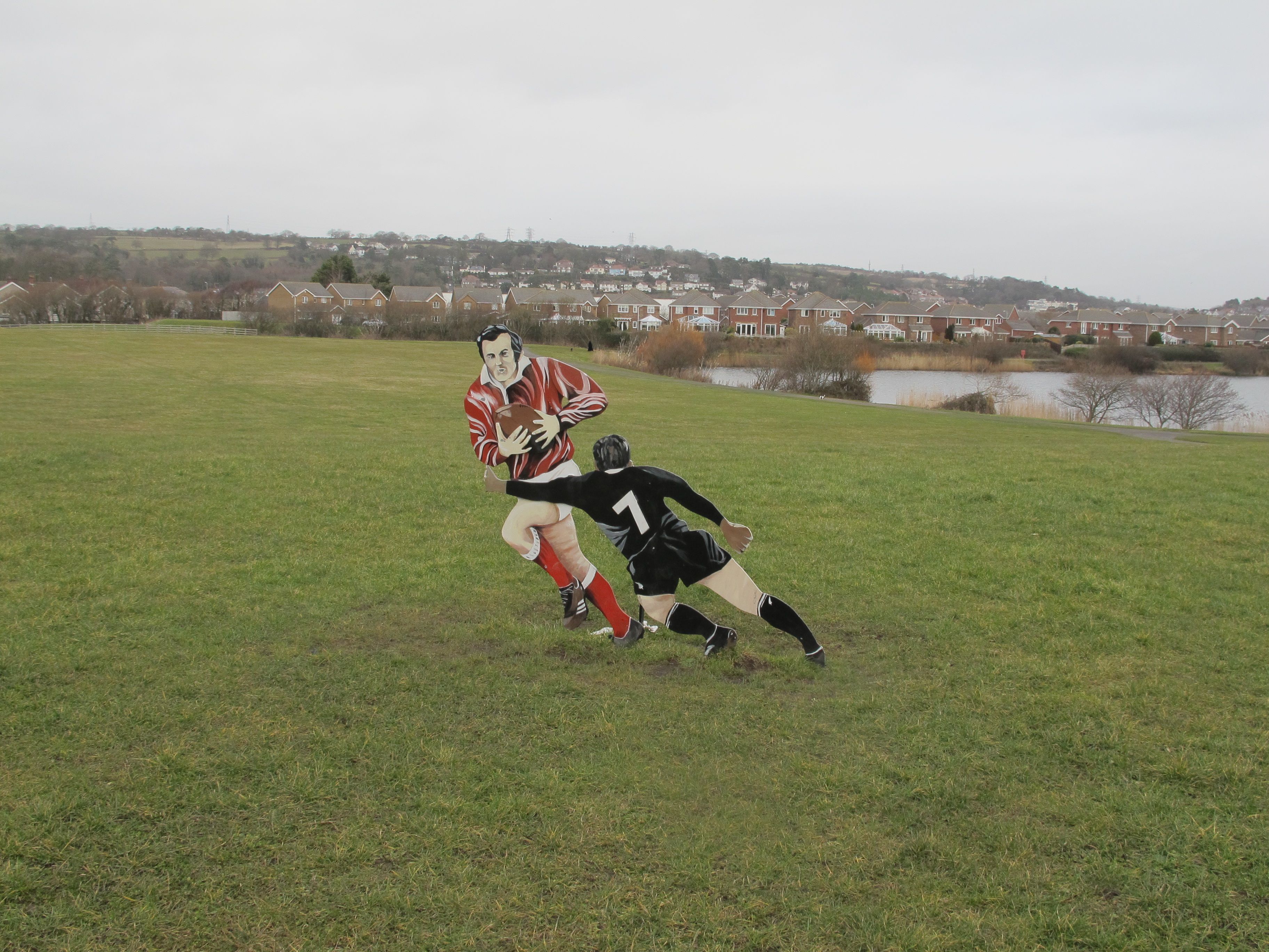 Oh and here it is again, this time I’m not taking any chances….
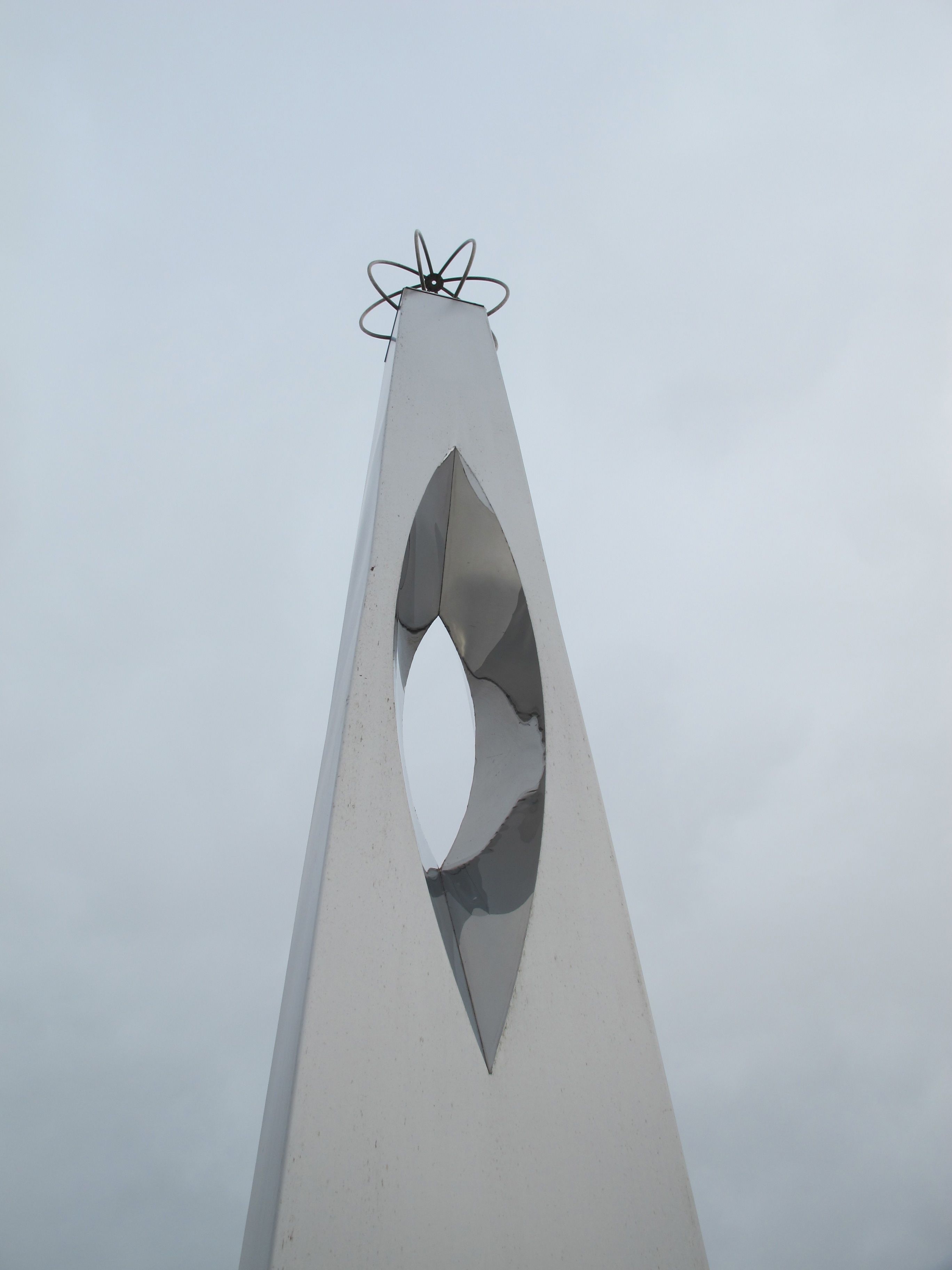 A little later this blue plaque comes into view, commemorating the lovely Ms. Earhart who graced this part of the South Wales coast with her groundbreaking achievement, what a brave lady.
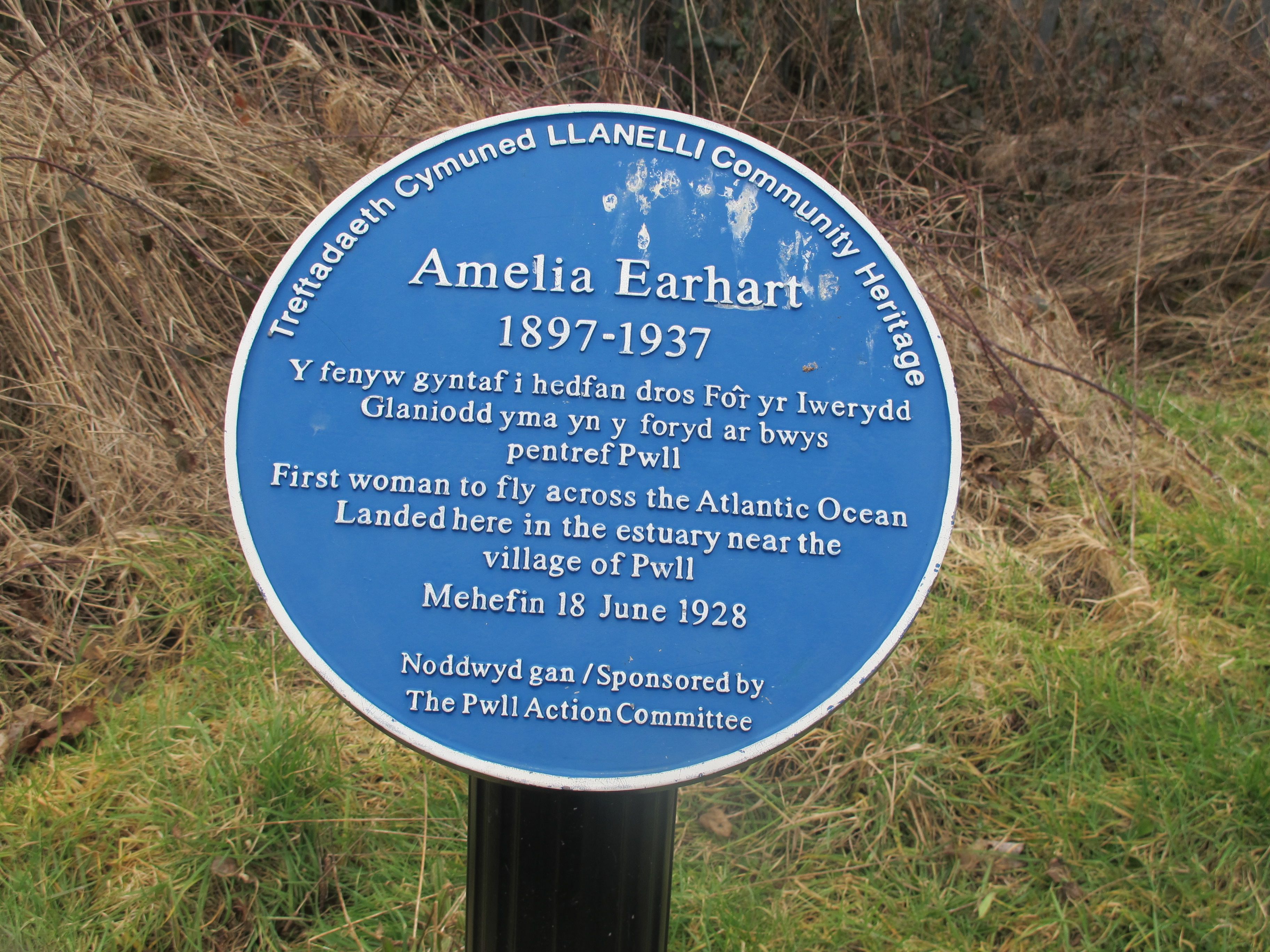 I am now back on the coast and as I squint across the bay I spot what I know to be the cast iron lighthouse off Whiteford Point – Damian and I walked right up to this peculiar structure at low tide – seems a long time ago.
 Channels of bright water snake down to the sea and in the distance I catch sight of another lighthouse – the squat perky cherry topped tower of Burry Port.
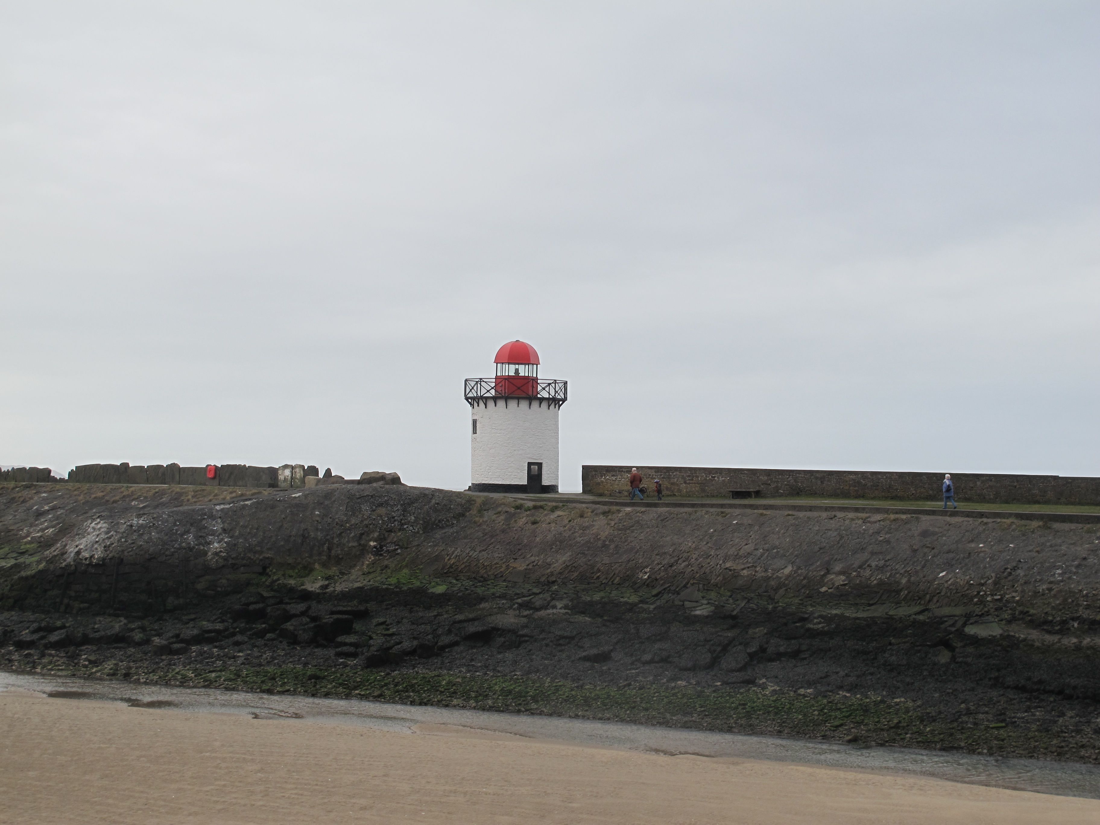
 By now I am in dire need of a cup of tea and a bun so I ask a likely looking local for directions to the nearest cafe. He sends me off in the direction of town, which is a bit out of my way, so I decide to ask someone else who points authoritatively over to the other side of the harbour, but warns me that it may not be open. I deliberate and decide to take a chance, my feet are smarting from all the tarmac walking and I need to sit down. Two minutes later I am comfortably installed in front of a steaming mug of tea and a toasted tea-cake – life does not get much better.
Refuelled I walk up through a stretch of dunes and into Pembrey Country Park – and this is where the trouble starts. Up until now I have been following the Welsh Coast Path signs which seem to correspond more or less with the red dotted lines on my OS map – but now they don’t. I decide to follow the signs – big mistake – but for now I’m confident I’m on the right track and delight in the sudden appearance of a ski lift!

 There are a few families out and I find myself thinking of my first sortie into skiing – something I thought I’d never do. I was living in Denmark at the time so the ski slopes of Norway were relatively easy to access. I went with my daughter and some friends and spent the first two days falling over into soft snow before I got the knack. To me the surface of this dry slope looks pretty hard, I think I would have given up pretty quickly if I’d gone down this route. As it was the joys of the green and eventually the blue slopes, were soon mine and I loved it.
Moving away from the slope I stop to take a photo of these strange structures – there are two standing side by side and I have no idea what they are supposed to be but perhaps that’s the point. Seeing no signs for the coast path I ask a passing bird watcher for directions to Pembrey Forest, the route I had planned. He appears knowledgable but after 50 yards another blue and yellow coast path sign turns up pointing in the opposite direction. Stupidly, not heeding my map or sense of direction I turn around and head off, ending up in a deserted children’s fairground behind the beach. Perched on top of a dune is another coast path sign pointing north west up the beach and it is then that the penny drops…….this route is not marked on the map and I have wasted at least 30 minutes going round in circles – I feel a letter coming on.
Dejectedly I walk back to the entrance to the park and manage to find the dirt track off to the left which leads off into the forest. As I walk down the apprehension creeps up on me – I feel like lIttle Red Riding Hood worrying about big bad wolves. 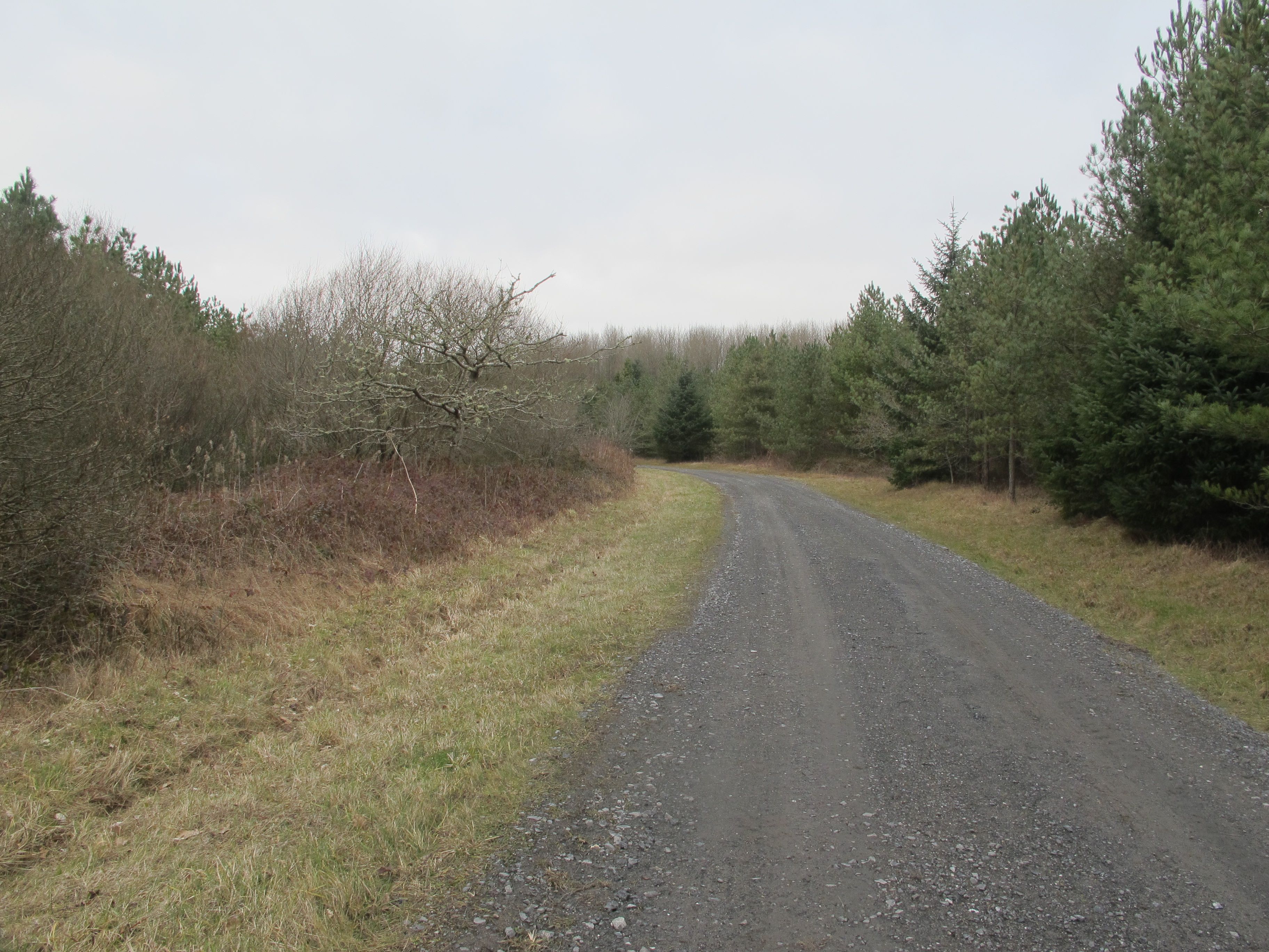 Despite my aching feet my pace quickens as I stride, almost running, deeper and deeper into the forest. There is no-one around and I know I have at least 30 minutes of walking before I get to the other side, the phrase “we’re not out of the woods yet” comes to mind. I know I’m being silly and that the likelihood of there being an axe wielding rapist out for a jaunt on a weekday in February is pretty low but this does not help.
As it happens I meet no-one but a lovely smiley couple with a pair of silky greyhounds loping along beside them and then turning right at a crossroads the forest opens out into the bleak plains around Pembrey Airport – I breathe again. The next few miles are across flat soggy fields, on concrete paths, until I come out onto the main road into Kidwelly. Just before the town this sign makes me laugh and also wonder why the otters would be crossing – from where to where? The landscape on both sides of the road looks the same to me but then I’m not an otter.
 The high street of Kidwelly is dull, particularly on a grey February afternoon but I find an old-fashioned tea shop and eat one of the best ham omelettes I’ve ever tasted – just like “me muvver used to make”. I’m told there is a castle worth visiting but I’m too late and anyway it’s all that I can do to limp up to my B&B and heave myself into a hot bath – next time.
Distance: 16 miles

maybe the structures were hides for the birdwatchers???
Yes Sue – that’s what they were! Greetings from a bitter cold Chicago xx