
So here I am back again at Pendeen Lighthouse – without the huge blister on my big toe.
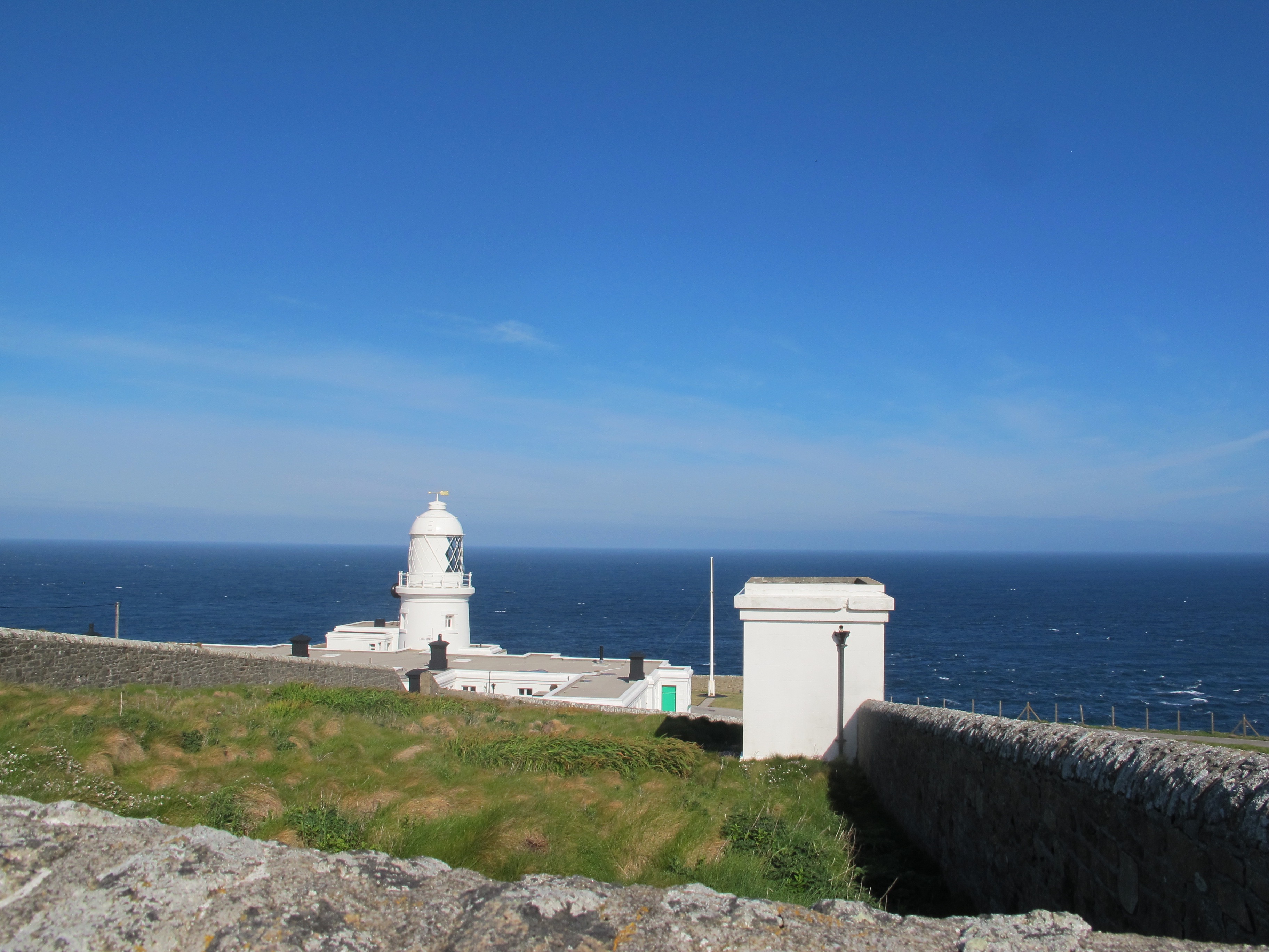
It is a beautiful morning and all my apprehensions about whether my back was going to give me gip today, after a cramped 5 hour train journey yesterday, just seem to evaporate into the still clear air.
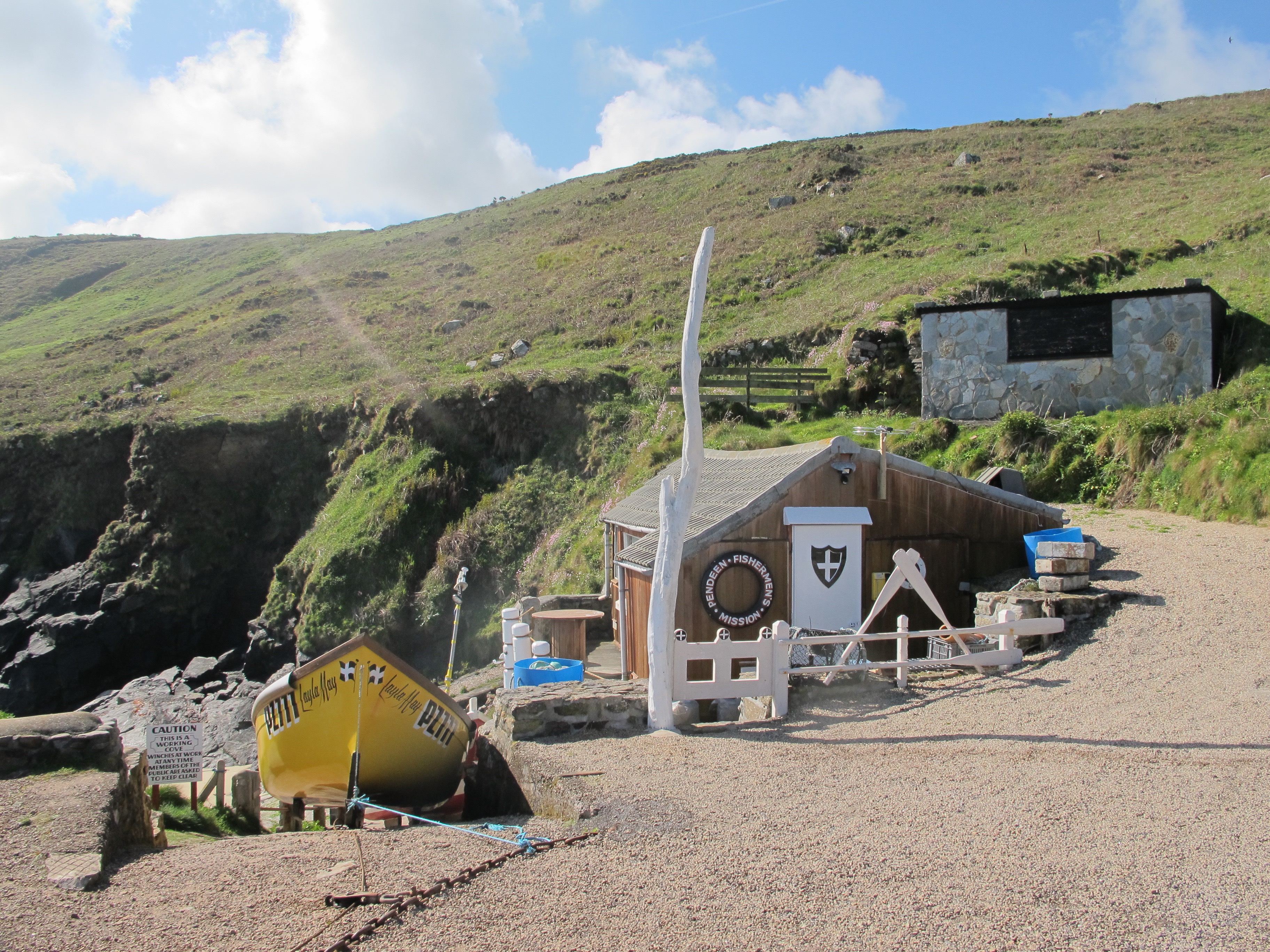
A little further down the road, I come to Portheras Cove and face the day’s first obstacle – losing the path. Fortunately a young woman and her daughter are walking their dog on the beach below and I am able to shout for directions. The life belt hanging on the wall of the little hut says Fisherman’s Mission which is the only charity that provides emergency support alongside practical, financial, spiritual and emotional care for fishermen and their families. I somehow don’t think the general public would be so sympathetic towards teachers, but maybe I’m wrong.
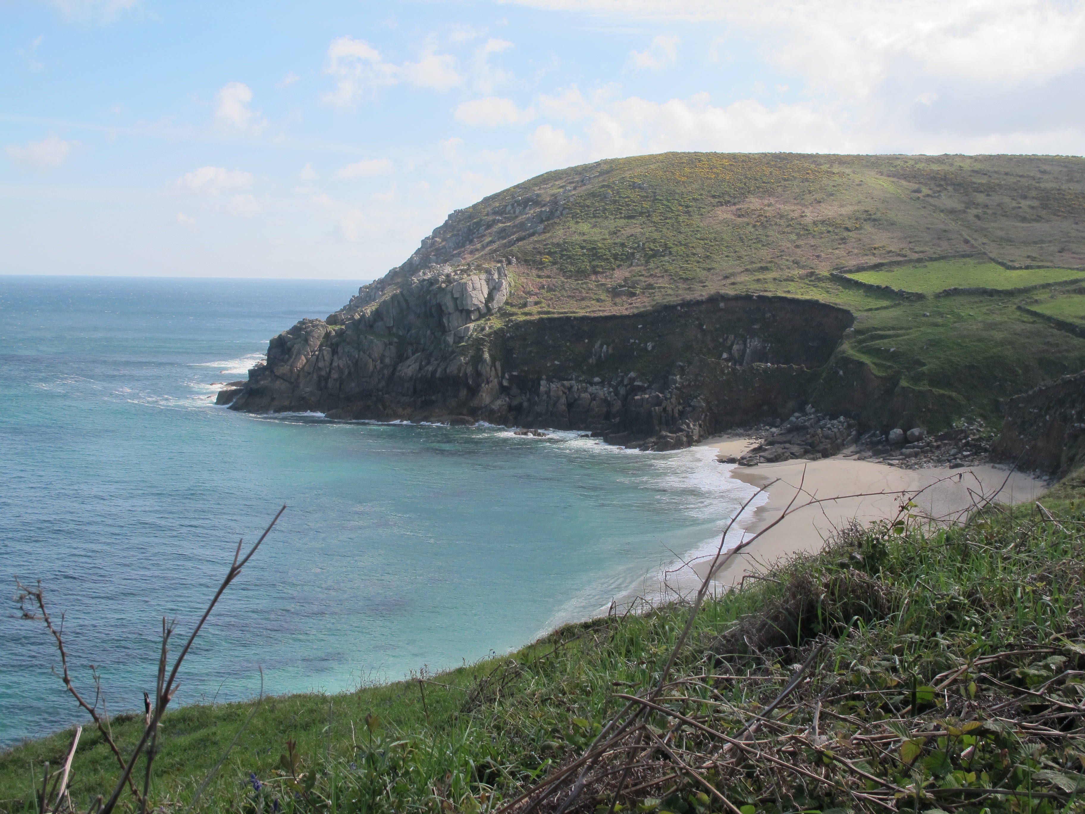
Leaving the cove behind, the path climb steeply upwards but then levels out at the top allowing me to catch my breath. I make good progress walking on a wide flat path along the edge of the cliffs until I reach another enchanting little cove at the bottom of which is a wooden bridge to take me over the stream.

Walking out of the valley the path is lined with bluebells and daisies and I stop to take a photo of a foxglove as I have just succeeded in getting them to grow in my garden.

On top of the cliffs again I am treated to some wonderful views with Gunnard’s Head in the distance – this is not far from where I will be staying tonight.

The path now becomes extremely boggy and I’m forced to keep my eyes on my boots for quite a while. Absorbed in hopping from rock to rock I am a little shocked to be suddenly faced with another walker almost right in front of me. It is a woman on her own which I always find heartening – she tells me that the path ahead is worse………oh well.

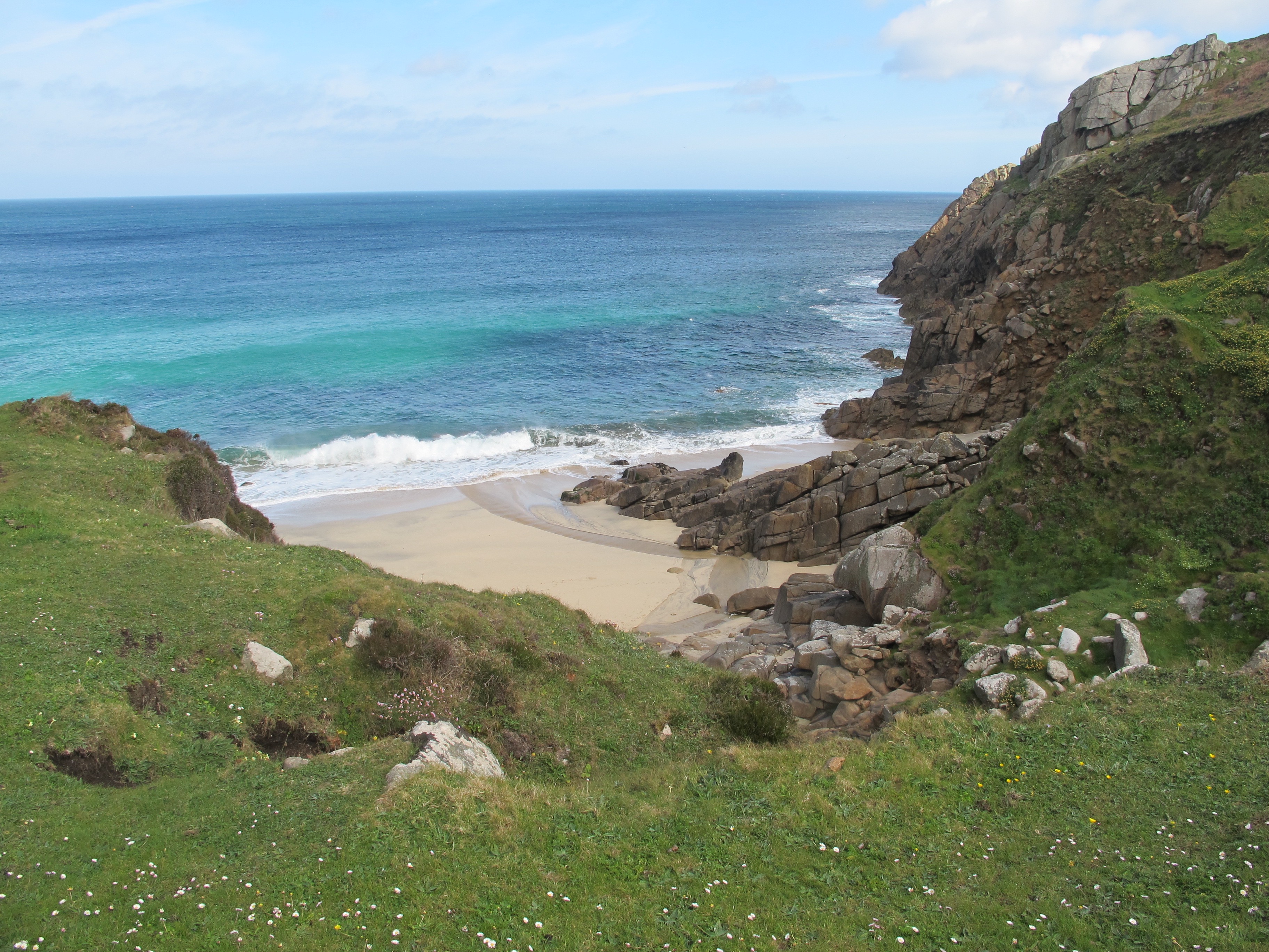
 Away from the bog the path gets very close to the edge of the cliffs – there are some very steep drops down if you dare to look.

…….and up ahead cows, unusual saddleback cows known as Belted Galloways. A wiki search tells me that this is apparently a polled breed (naturally without horns, lucky for me), with a thick hairy coat, bred through generational selection over a number of years. Although there are numerous colours, each Belted Galloway cow features a white stripe around its middle. The beef sourced from this breed is finished within 30 months and is usually very marbled. The cow is generally well suited for rough grazing land and is long lived.
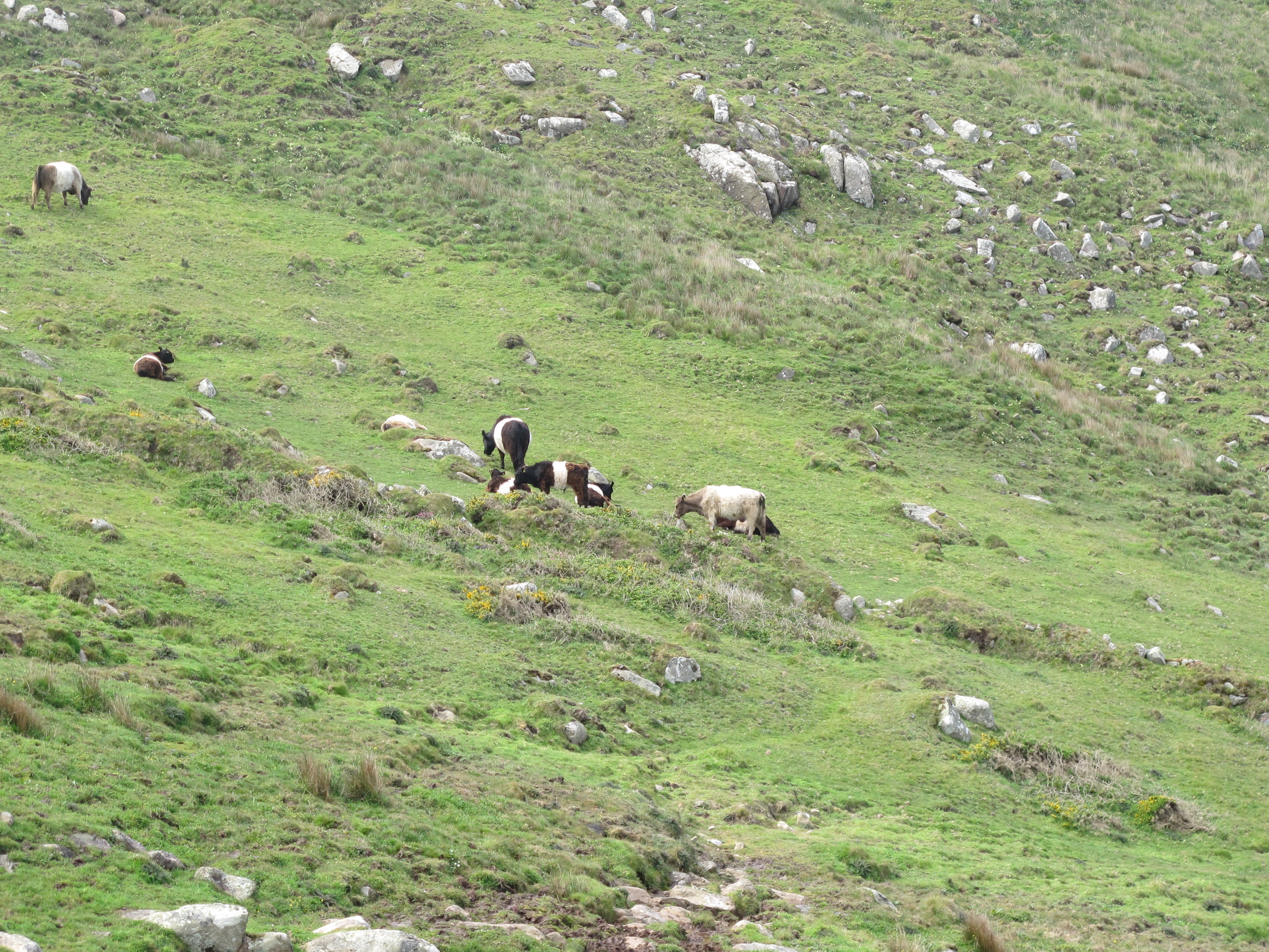
They don’t take a blind bit of notice of me even though the path takes me almost through the middle of them.
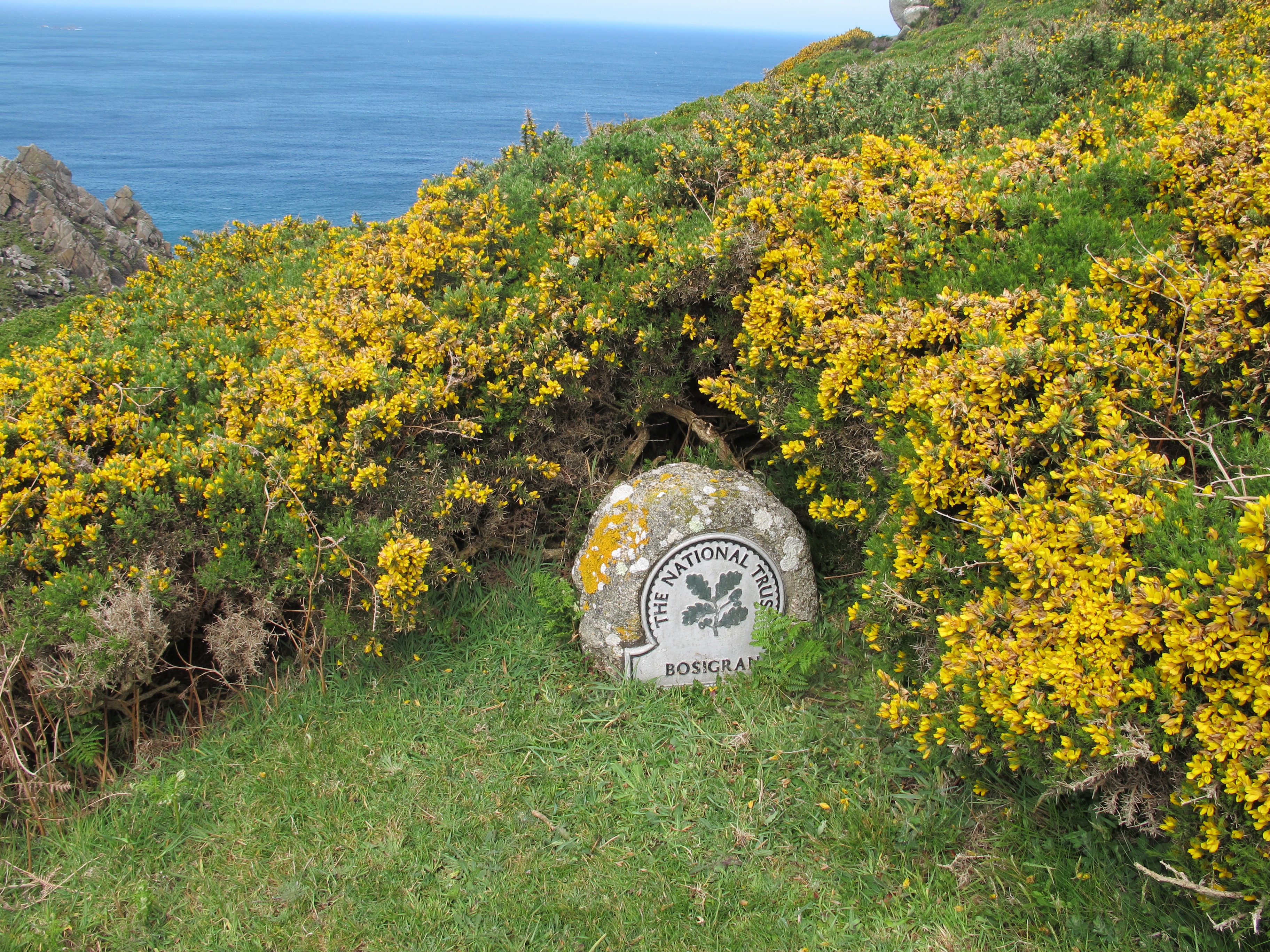
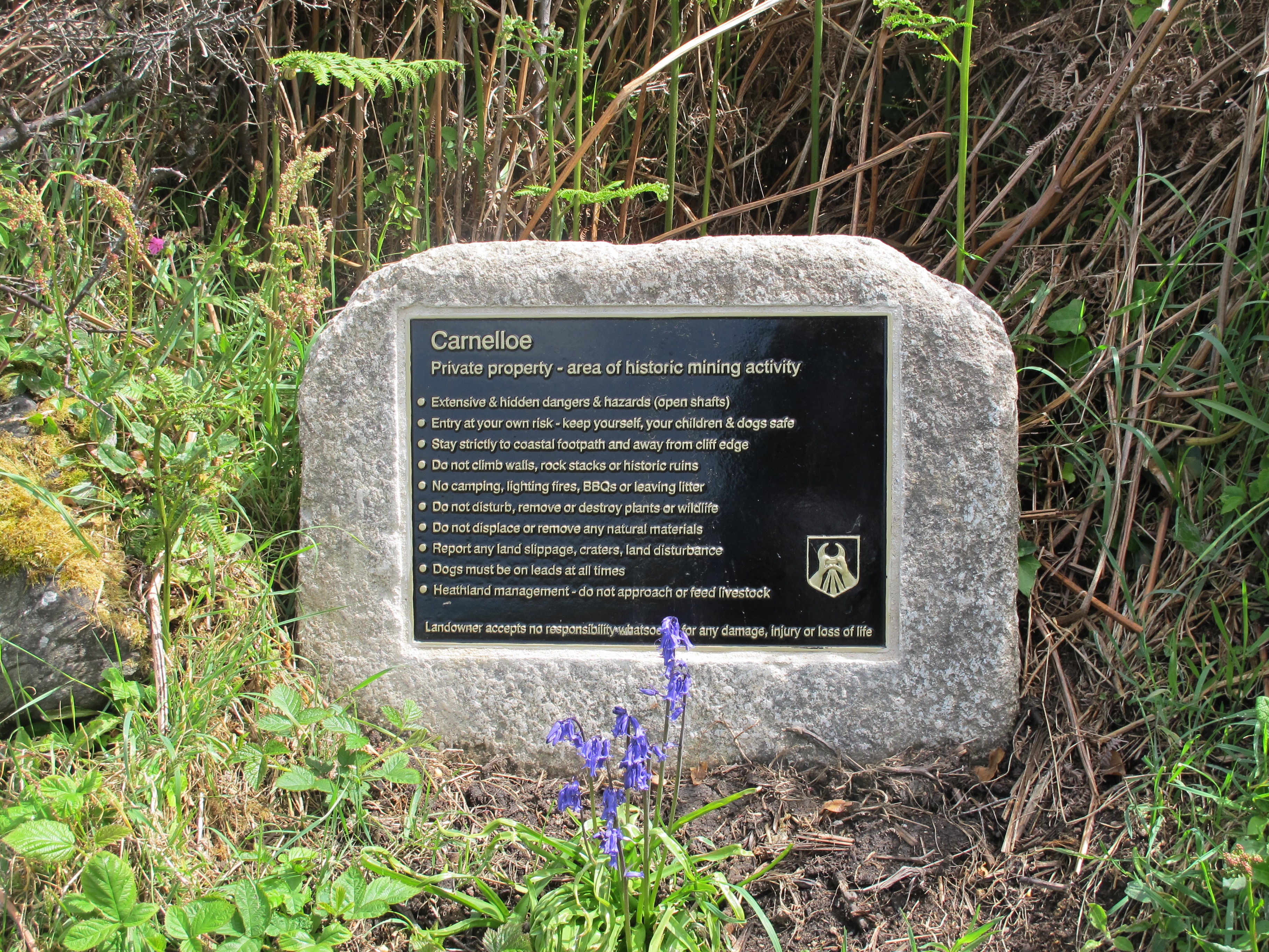
A little further on I come to a sign which tells me I am in an area known as Bosigran and if I had gone a little closer to the edge I would have seen Commando Ridge which is an extremely steep granite sea cliff, a favourite with rock climbers and the site of training exercises during the second world war – but I didn’t.
Down into another valley I cross a perfect little stream on a huge slab of granite. How did they get it there?


Gunard’s Head is getting closer ……………….

…….but first I have to walk through a field of horses, which I do, holding my breath. My horse was my closest friend when I was child but then we knew each other.

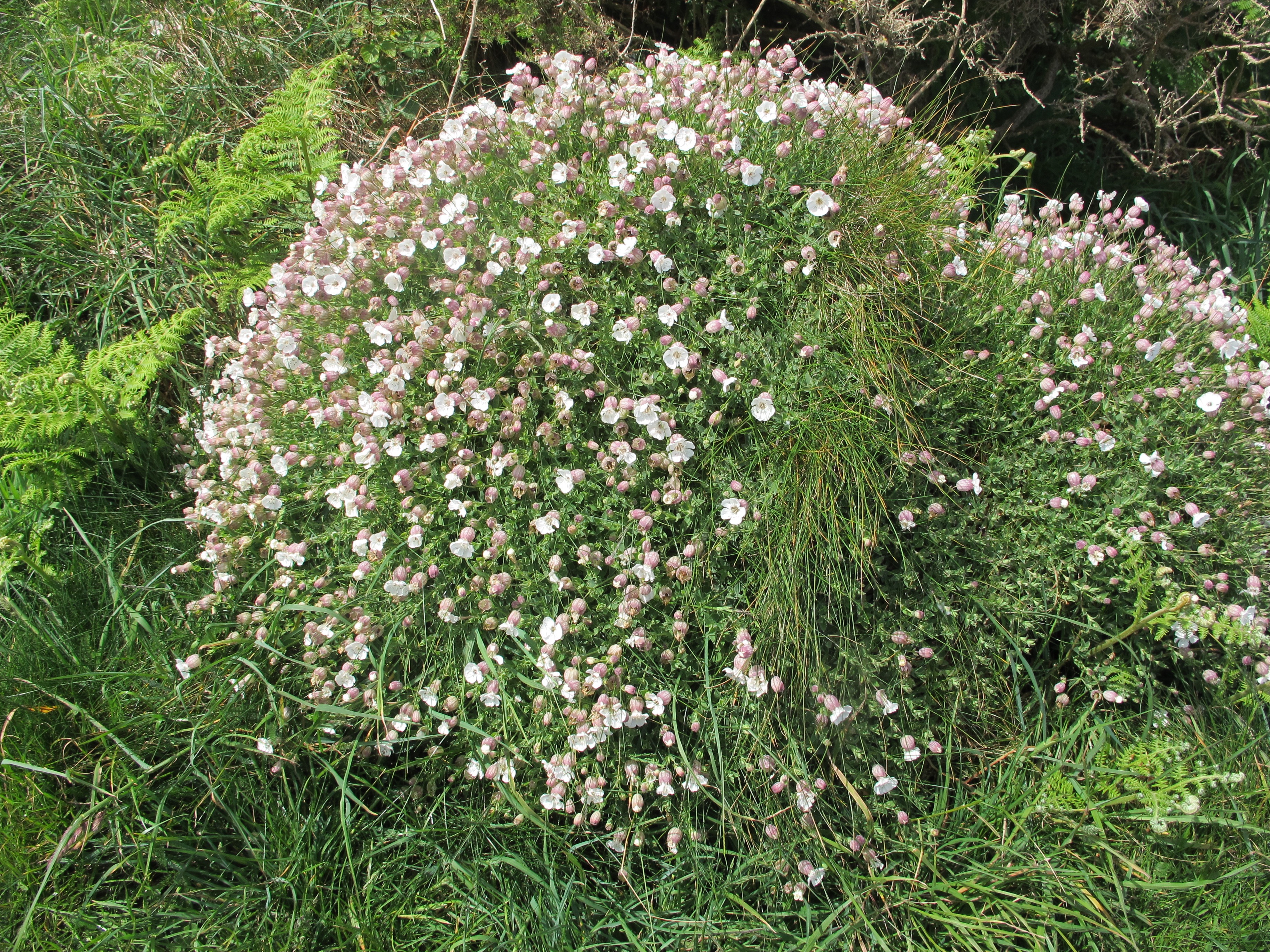
Out the other end and I walk past large tufts of these pretty little flowers – if anybody recognises them?
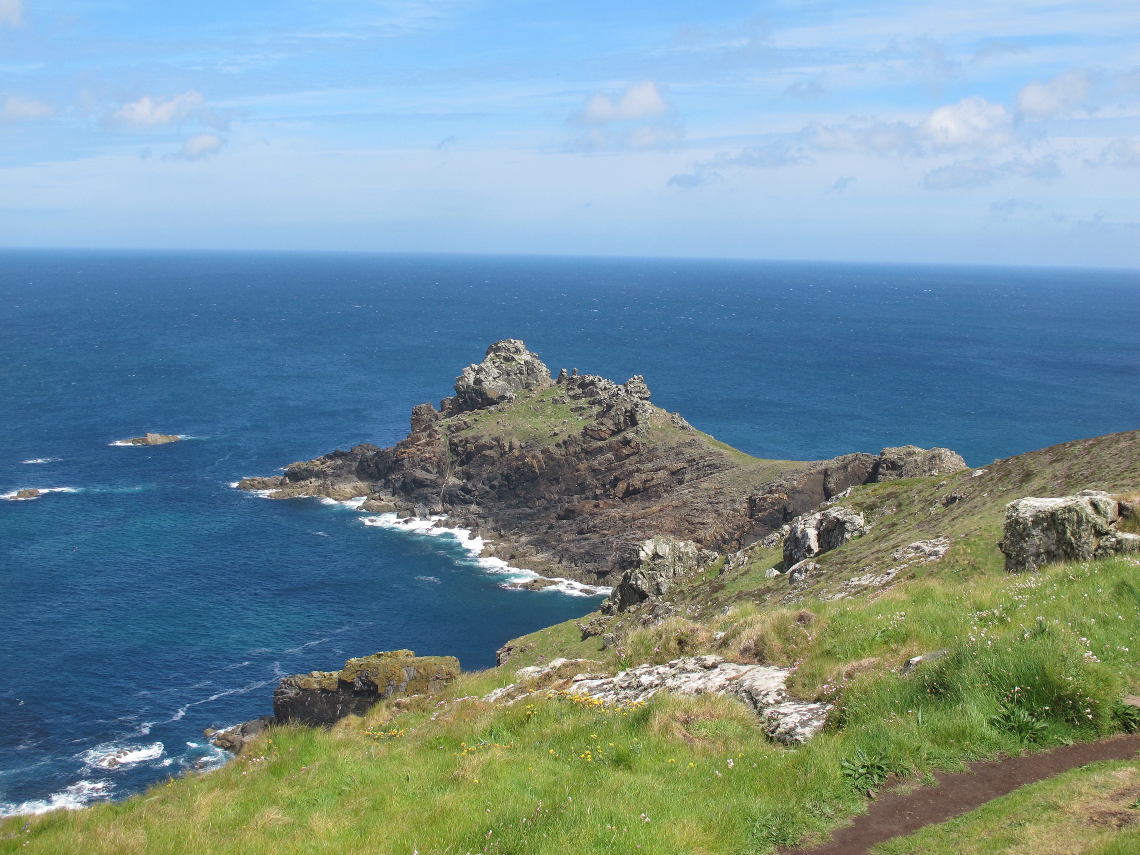
……and at last Gunard’s Head, so named because it is supposed to look like the fish with the same name, which apparently is ugly – maybe from the other side?
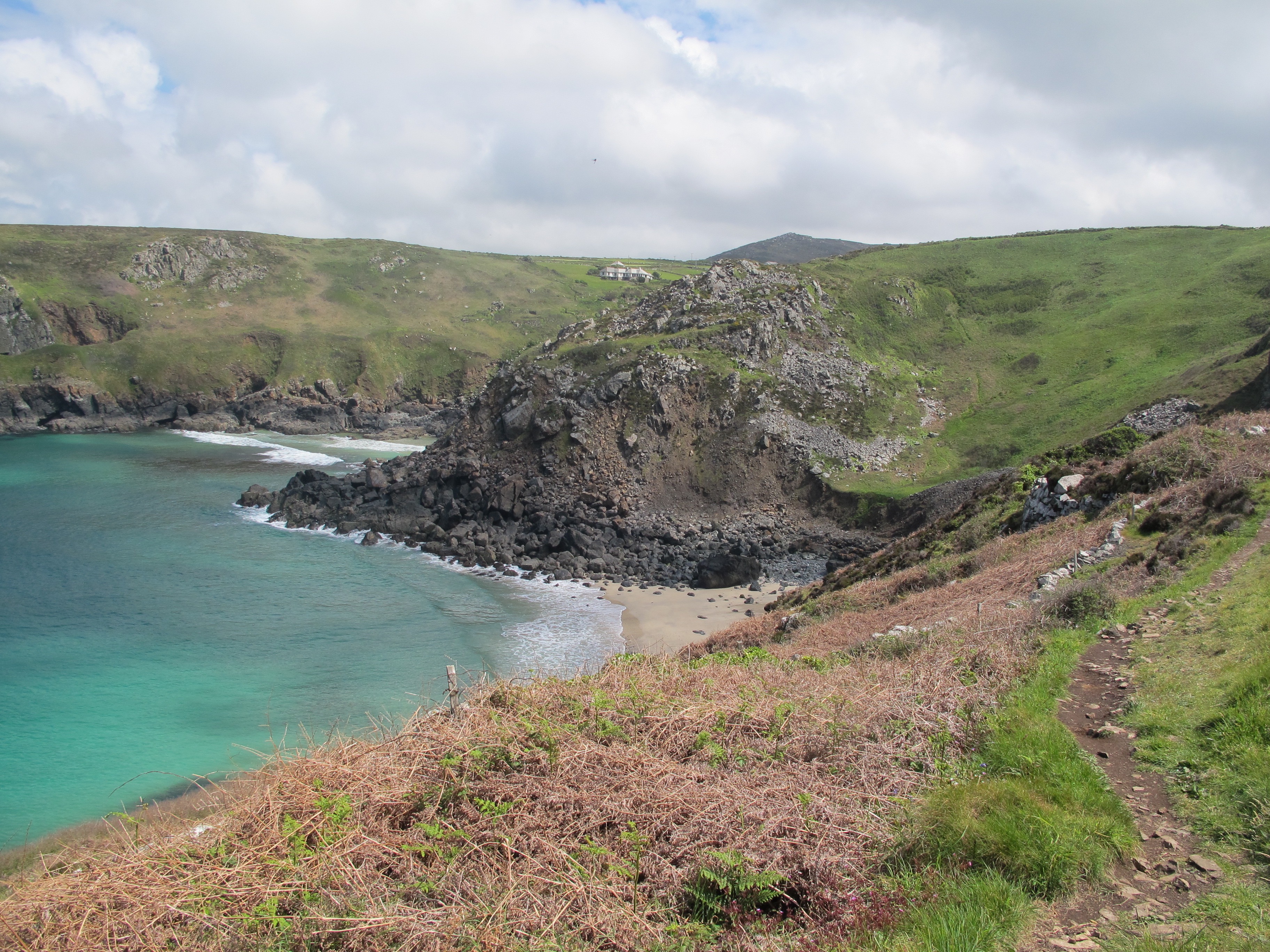
After Gunnard’s Head I still have a way to go to Zennor where I am staying tonight and I can feel I am flagging. Dipping deep into my rucksack I find a fruit bar and some mints – it’s amazing what a bit of sugar can do to your energy levels. I sit down for a while and spend a few minutes contemplating what it must be like to live in the house nestled in what must be Portglaze Cove – wonderful in the summer but if the gales I experienced last December in Cornwall are anything to go by, very difficult in the winter.
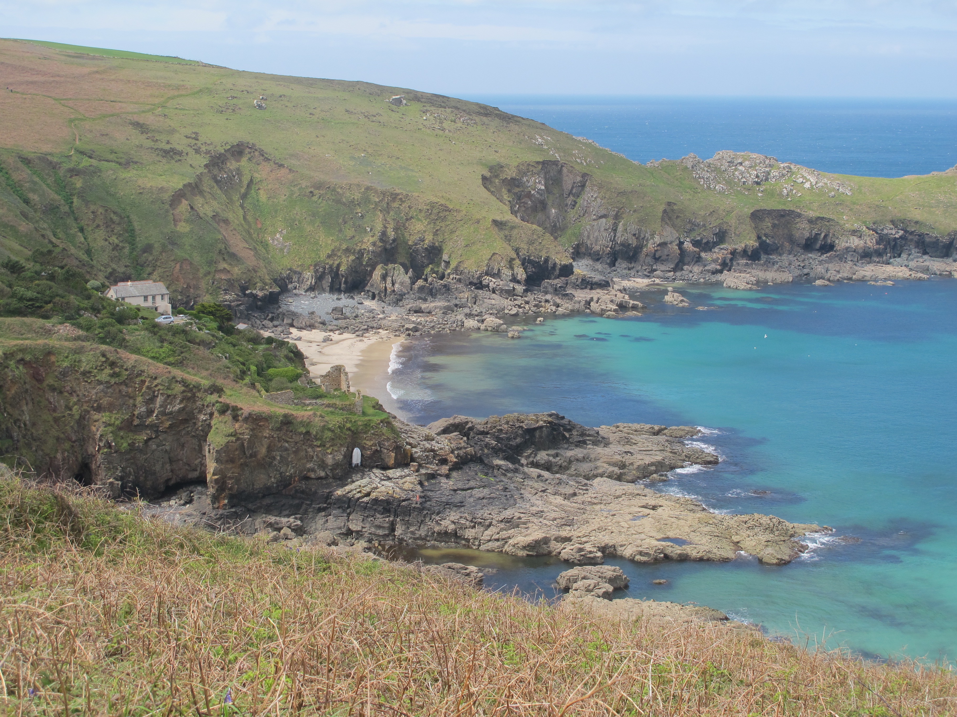
Energised I trip past the “extensive and hidden dangers” of the next section of the walk and soon arrive at Pendour Cove, where a very steep staircase takes my weary legs up to Zennor Head.

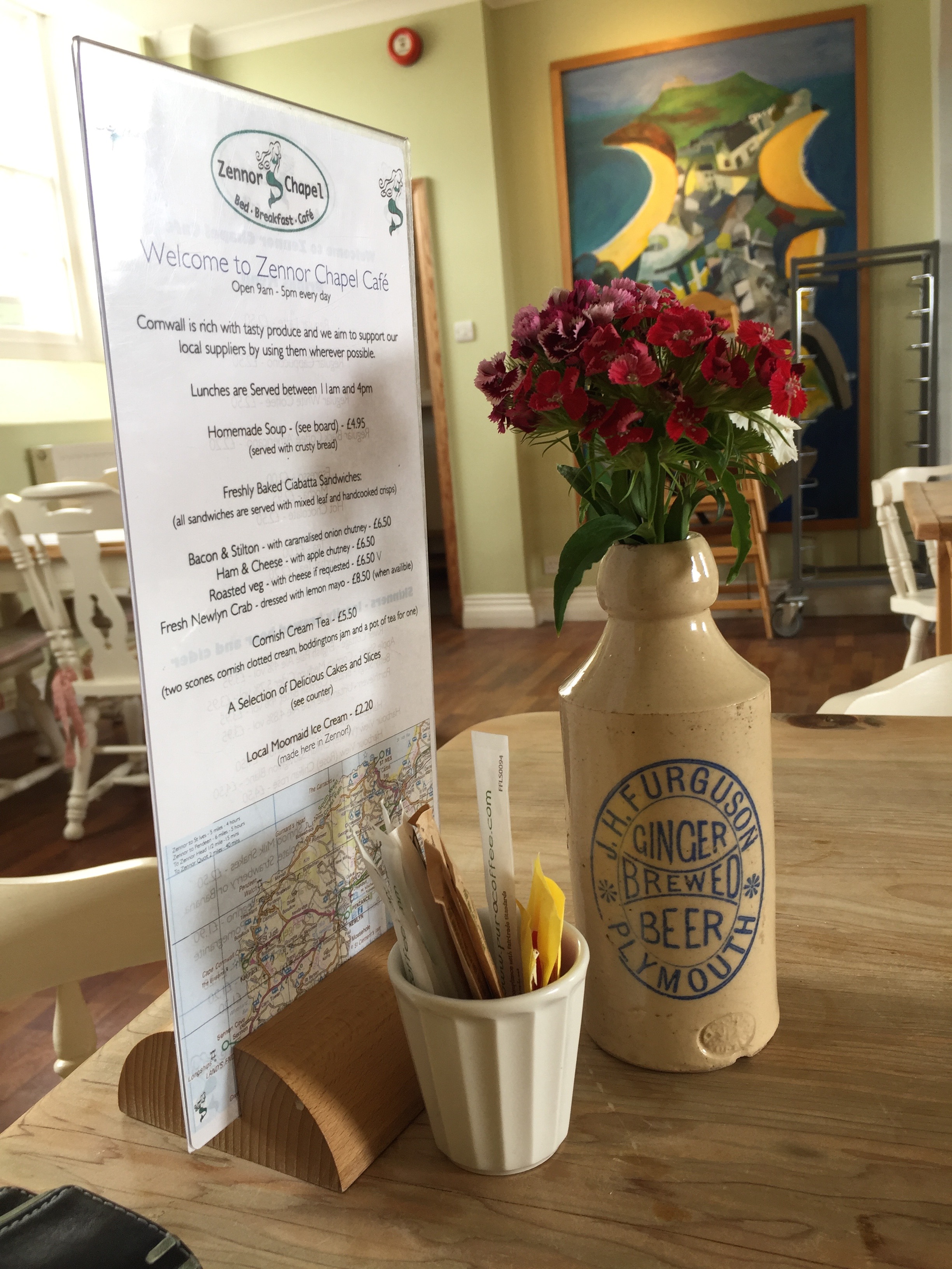
From here it’s a short walk along a country lane into Zennor where the local chapel has been converted into a cafe. As it’s late in the afternoon I decide to have a cream tea instead of lunch – well that’s my excuse anyway.
I have finished my walk quite early and toy with the idea of walking a few miles more, but just as I come out of the cafe it starts to rain, so I decide to call it a day and head for the pub where I’ll be staying tonight.
Distance: 10 miles

Looks and sounds like a lovely walk. I bet you enjoyed the cream teaxx
Sea campion or bladder campion. Glad to see you’re still walking in cornwall. We gave you the lift to Heligan. I can’t even think how long ago that was., a couple of years I think? 🙂
HI Alex – yes it’s not going as fast as I would like it – work and a granddaughter are other distractions! Thanks for the info and hope you are all well x