
It is very overcast as I head up through the town towards Towan Head and Fistral Beach, one of Newquay’s many beaches.

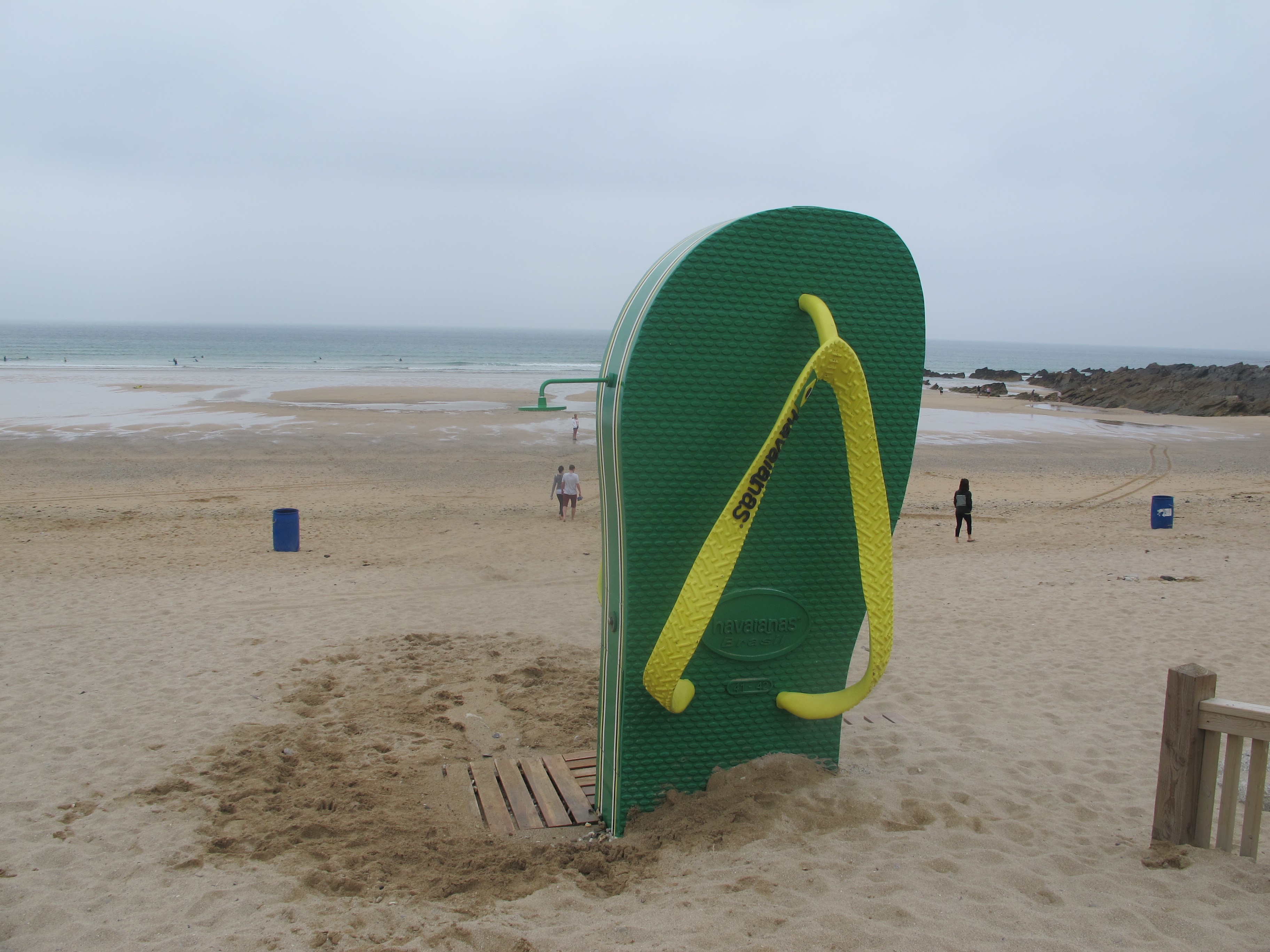
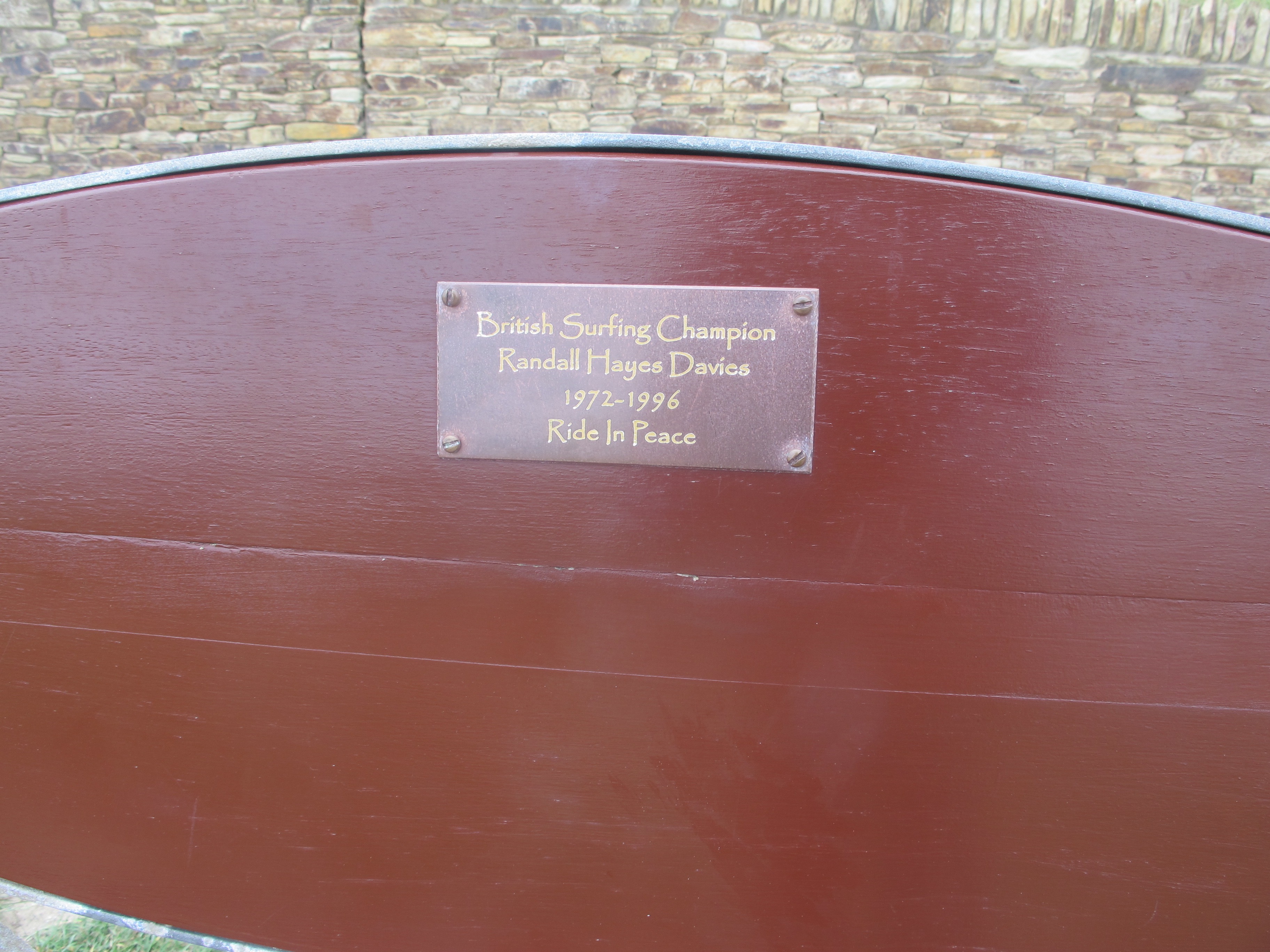
Here, the surfers are already out – two things catch my attention – this jolly shower and an inscription on a bench.
There are steps on the other side of the beach which take me up the cliff – I look down on a series of rock pools fringed with algae – they remind me of rock oysters.

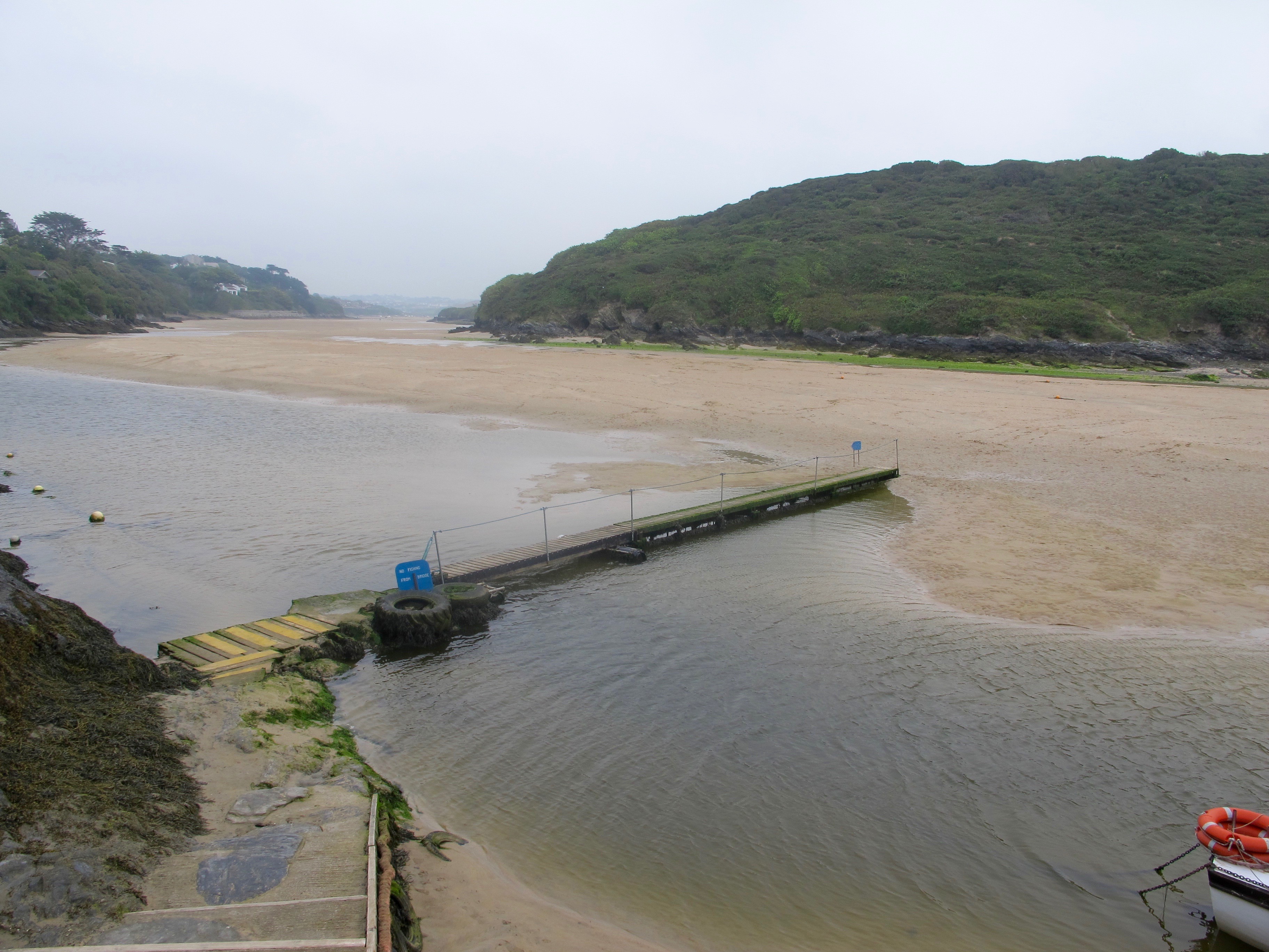
Up on top I head west through an area called Pentire where I am told I can find a ferry to take me across the River Gannel which runs through Crantock Beach.

I am looking forward to a short trip in a boat but as it happens, when I climb down the concrete steps to the landing stage I see that the tide is so far out that there is no need for a ferry – I can just walk down the boardwalk and across the sand.

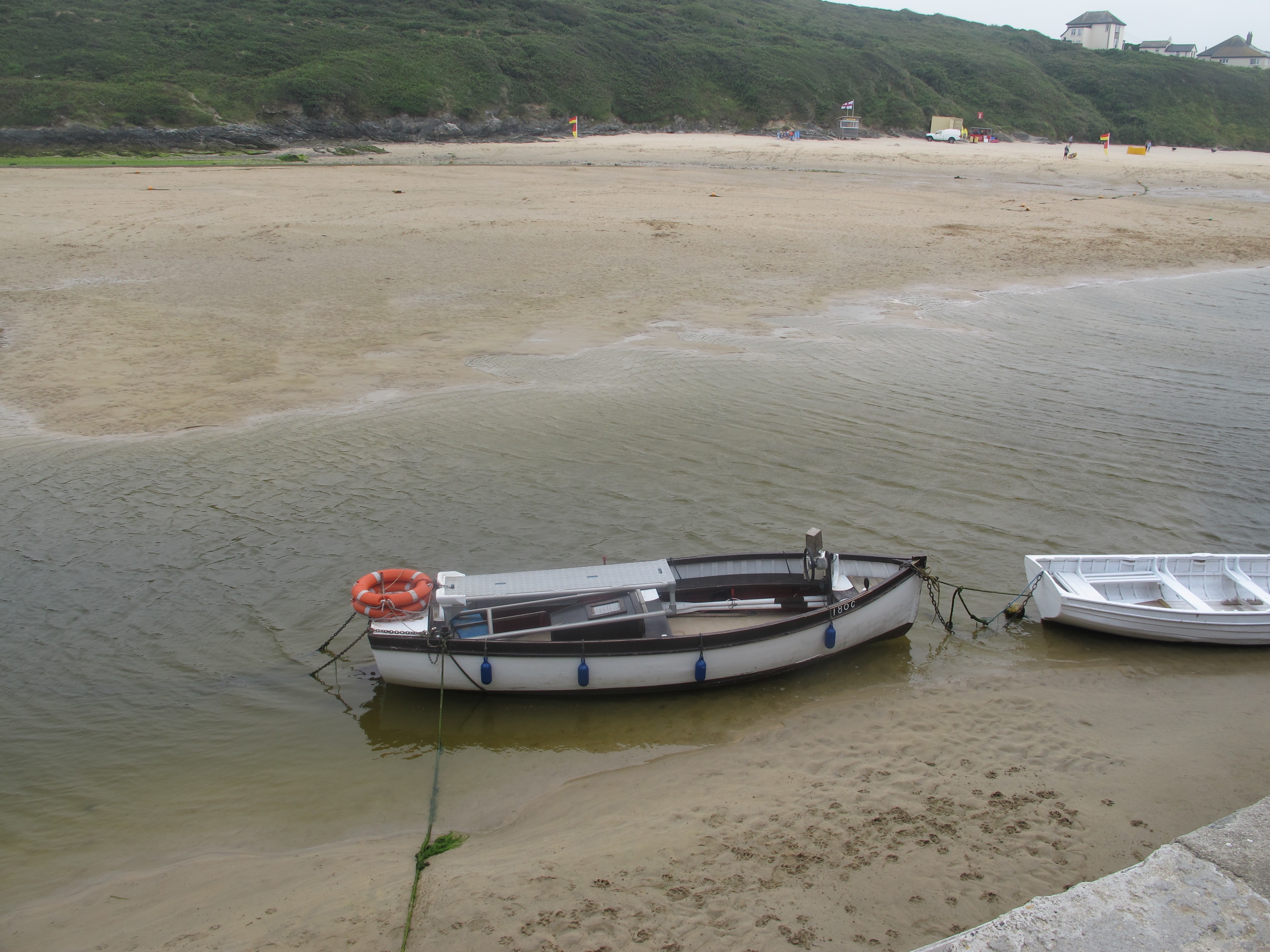
This is the boat I could have taken otherwise……..
And these are the houses and gardens clinging to the cliff above the river……………………

At the other end of Crantock beach, a lifeguard directs me to the coastal path and I walk up onto the cliffs following a sign to Holywell Beach.
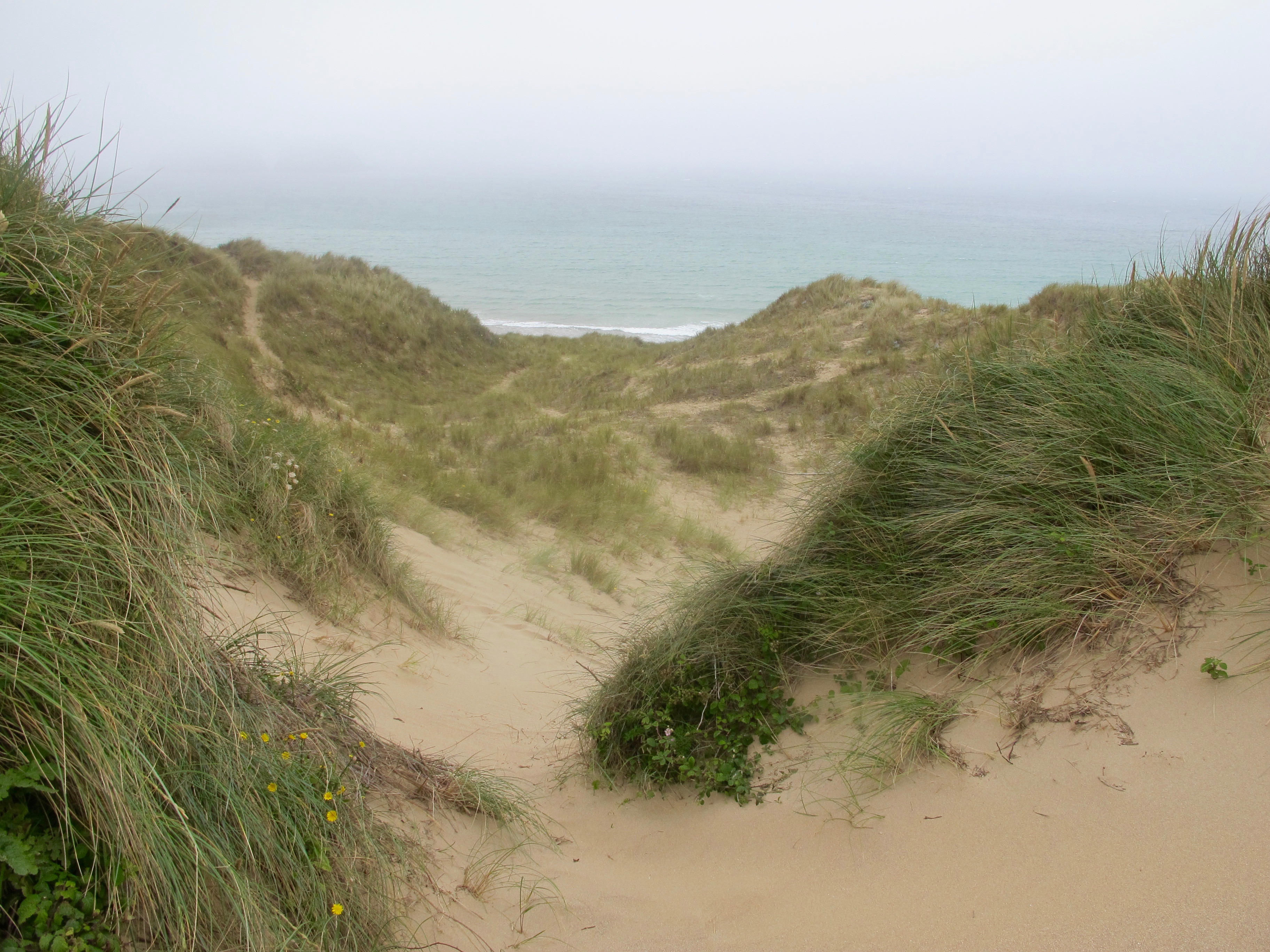
From here the landscape flattens out, the path running through an area of sand dunes and round a bay known as Porth Joke (for some reason)
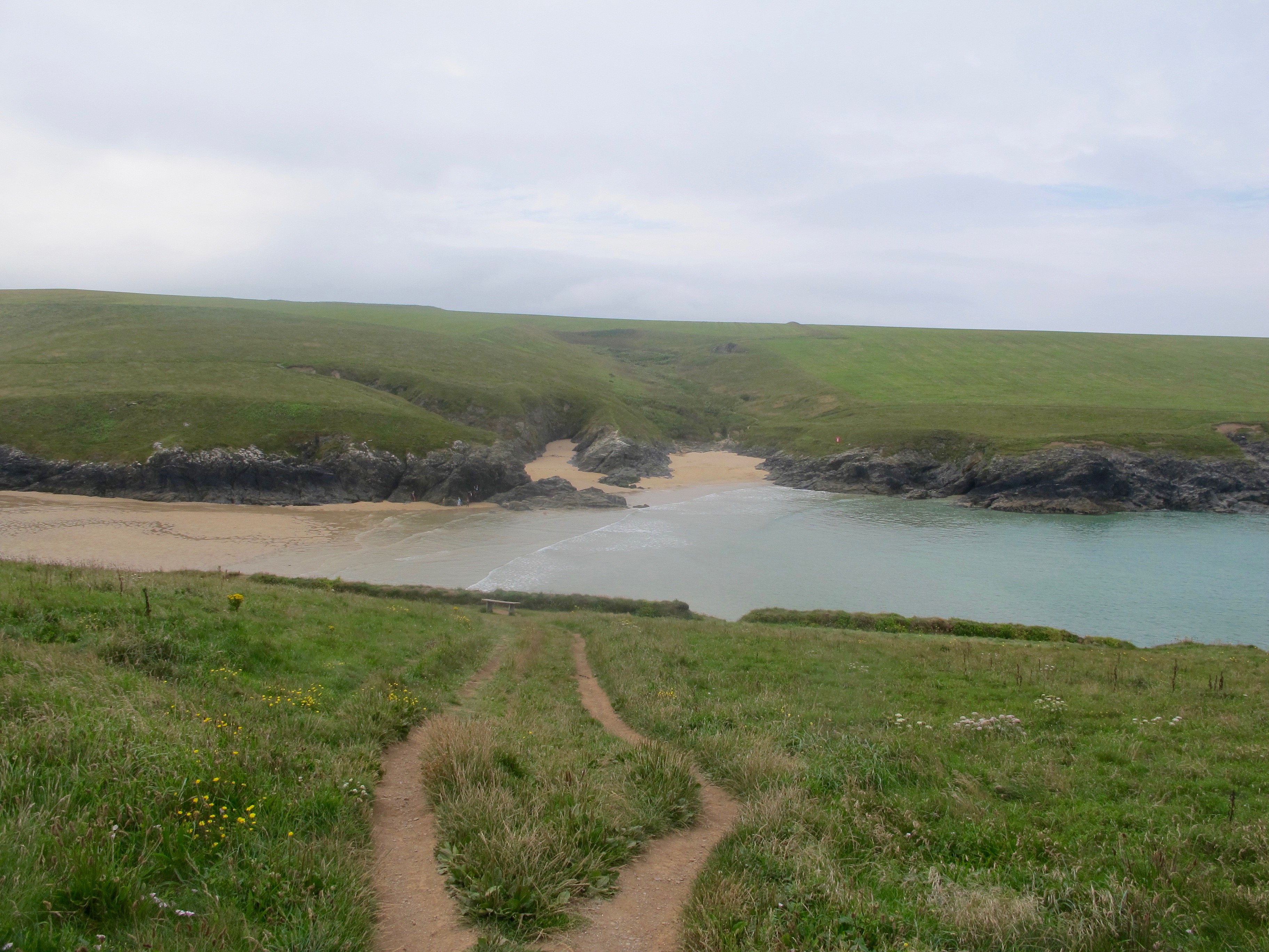
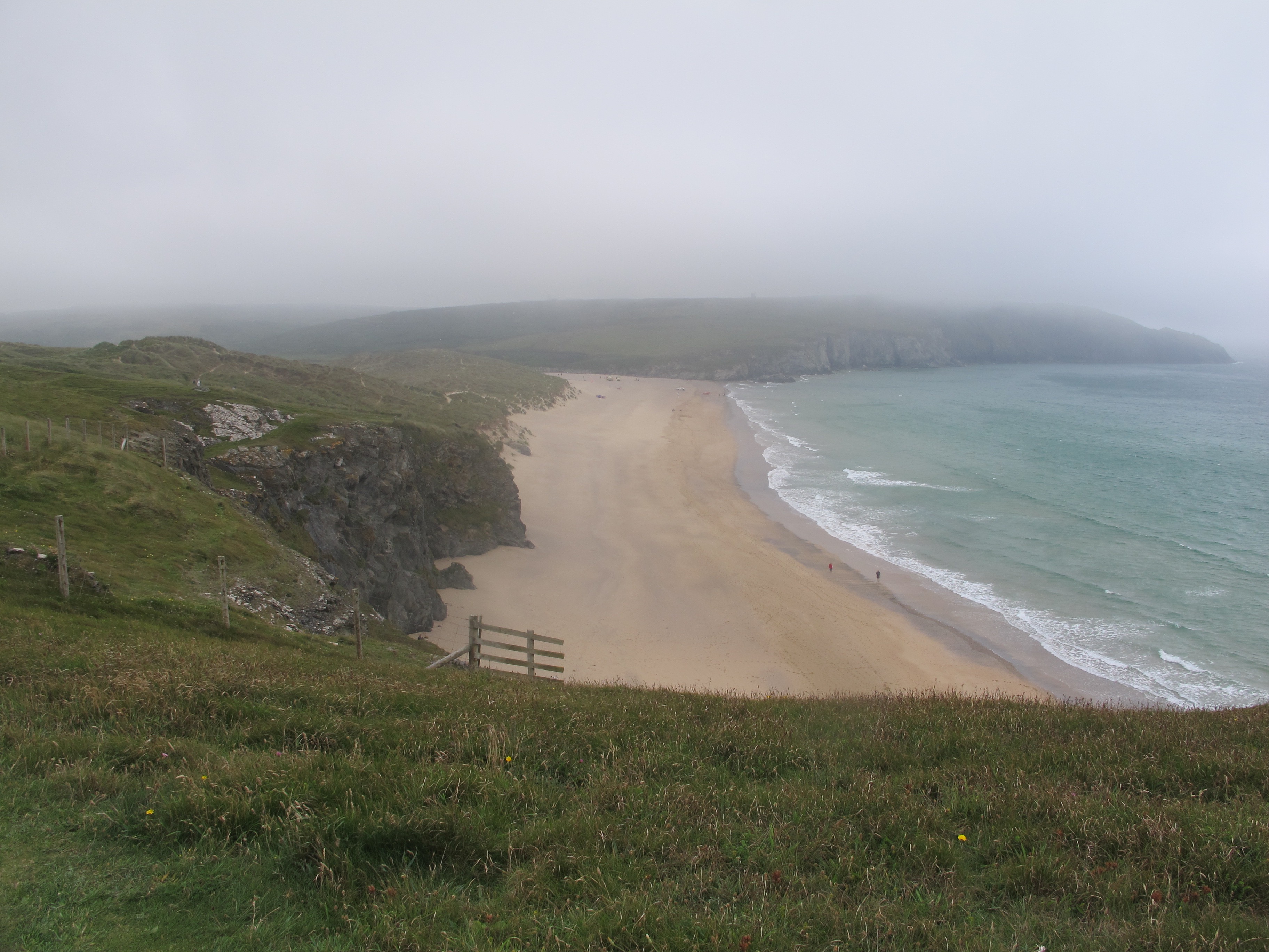
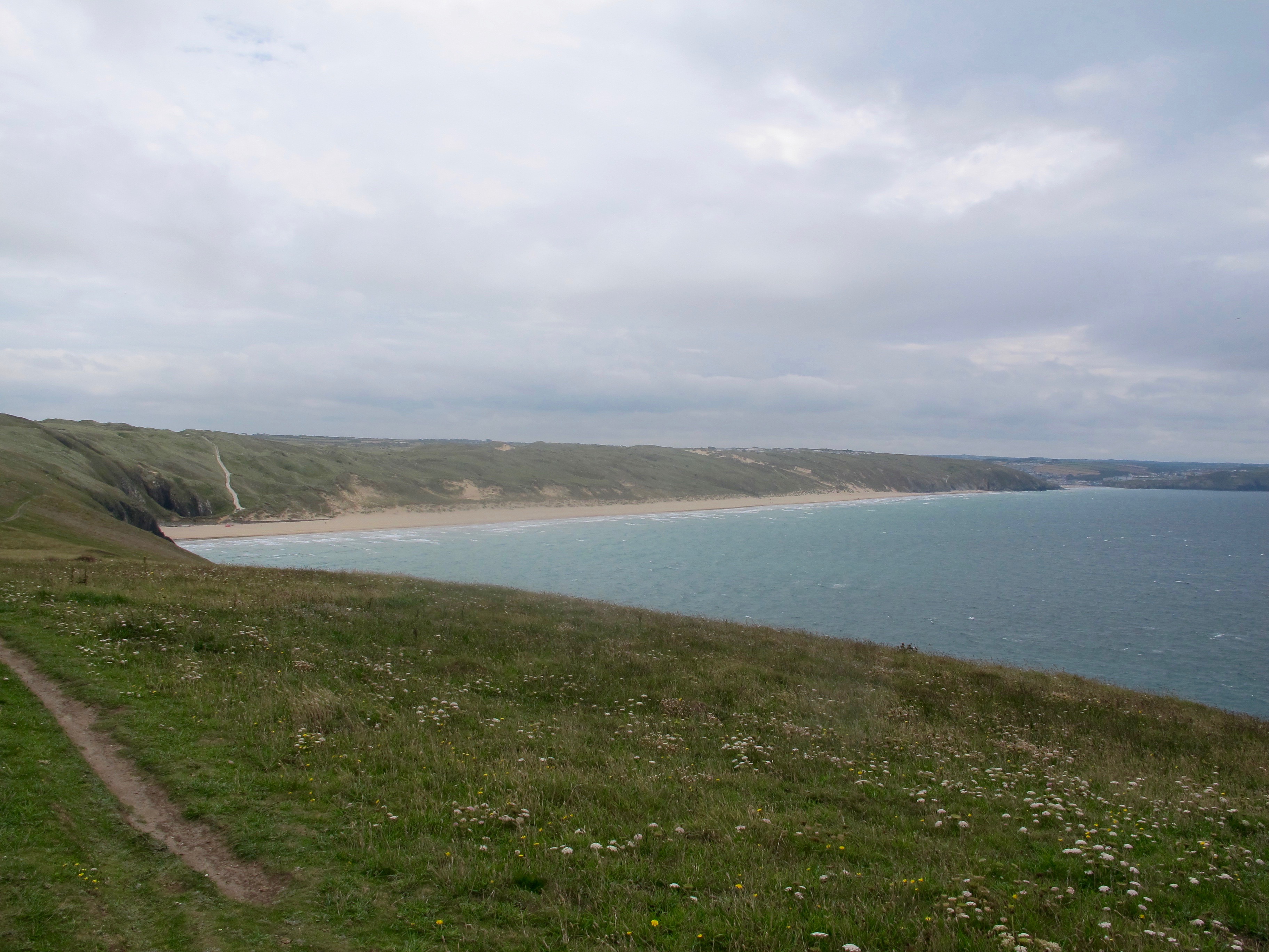
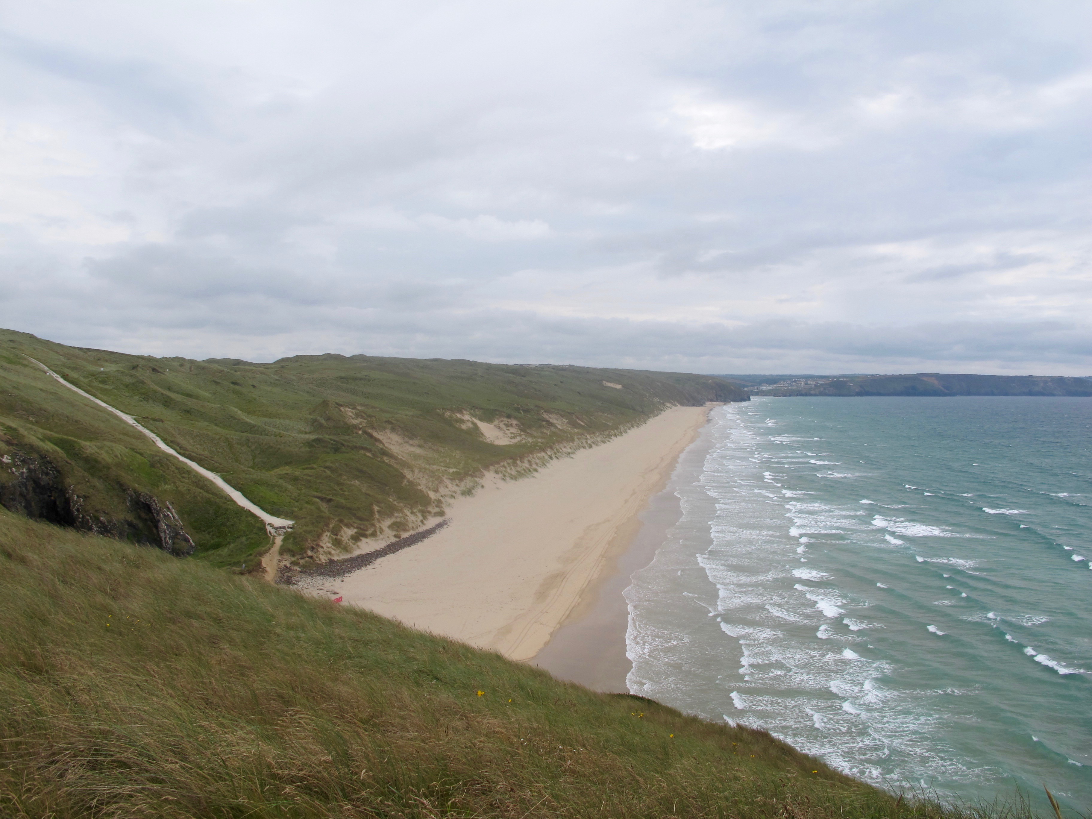
On the other side of the bay the path narrows again, taking me up to Kelsey Head, from where the elegant sweep of Holywell Beach can be seen fading into the distance.
Here, instead of walking on the sand I decide to stick to the path marked on the map, which takes me through the sand dunes behind the beach. It’s not that I enjoy trudging through loose sand, it’s just I am often not sure whether I can later get back up on the cliffs again.
A while later I am back on firm ground, heading towards Penhale Camp – I walk past some strange structures with warnings about non-ionising radiation – I walk a bit faster.
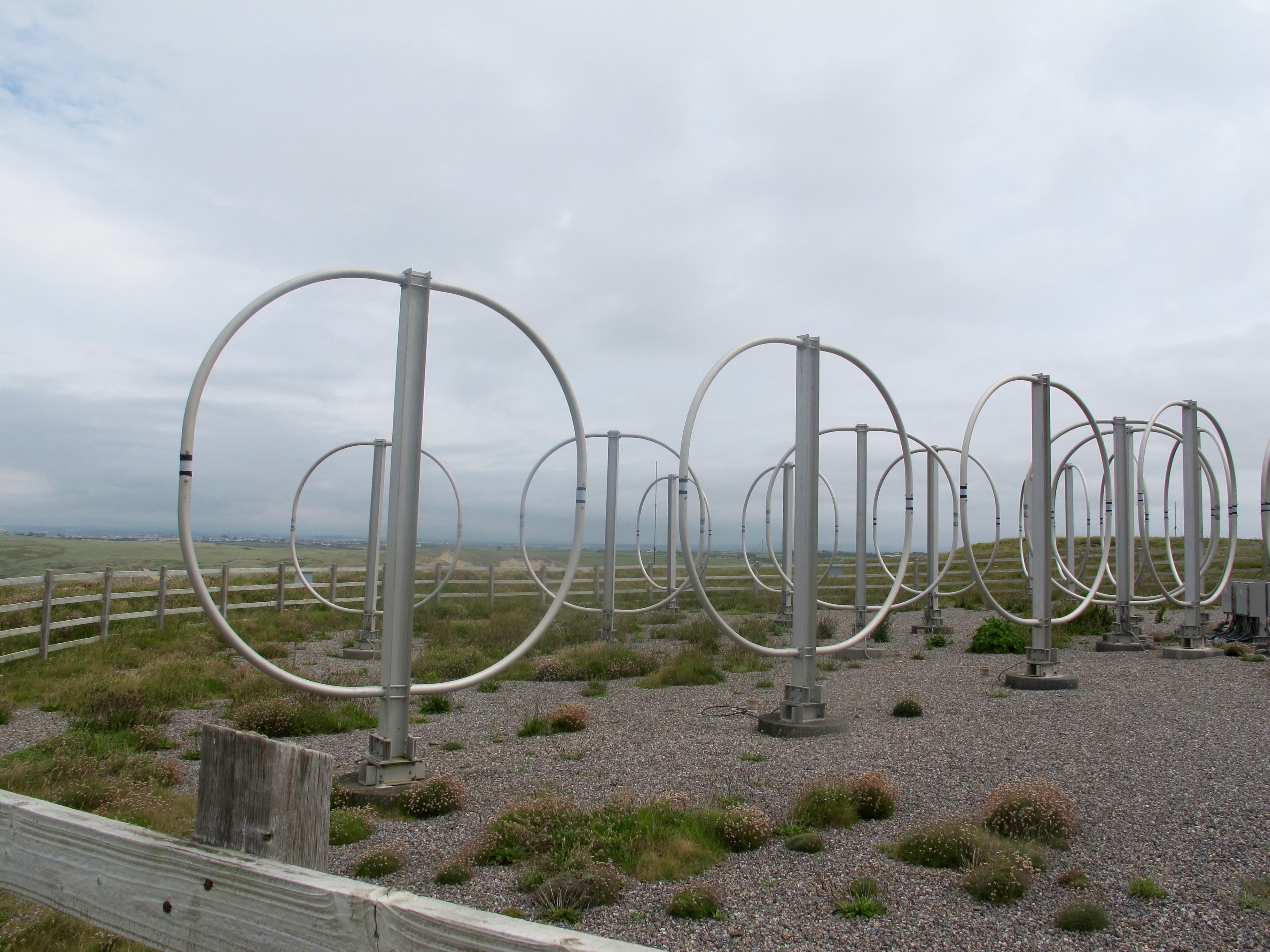
They are obviously military as I am now moving past the camp. I always find it eerie walking past/through deserted military areas and this one is no exception.
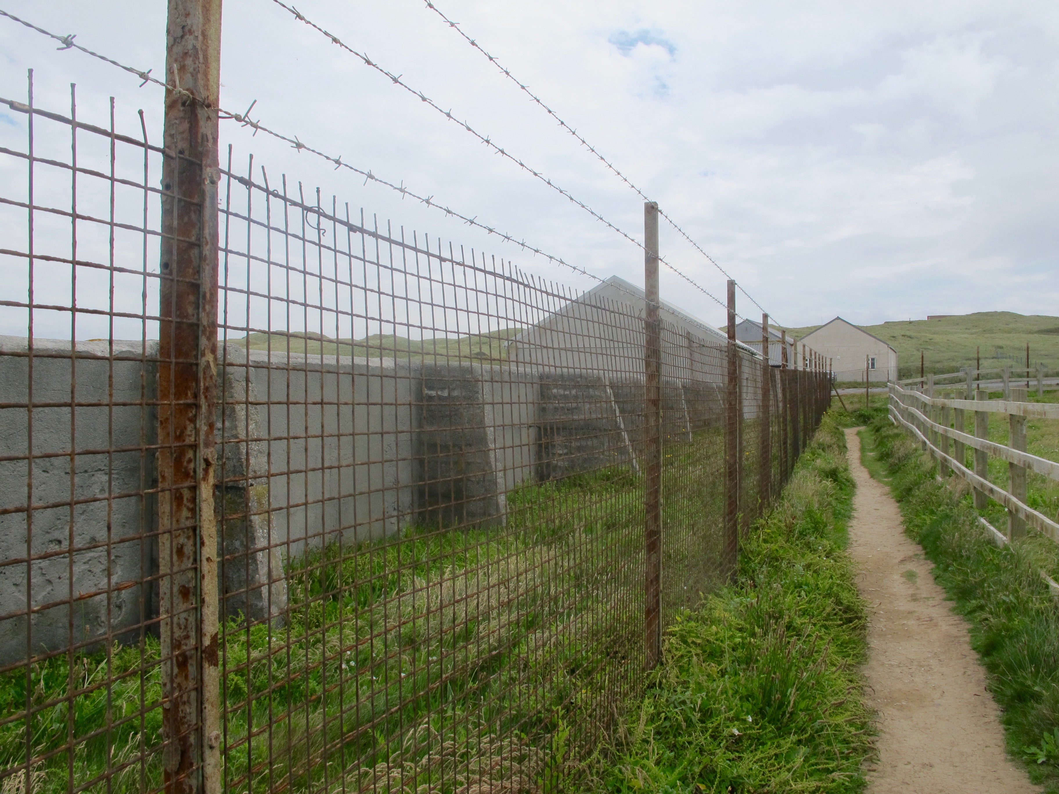
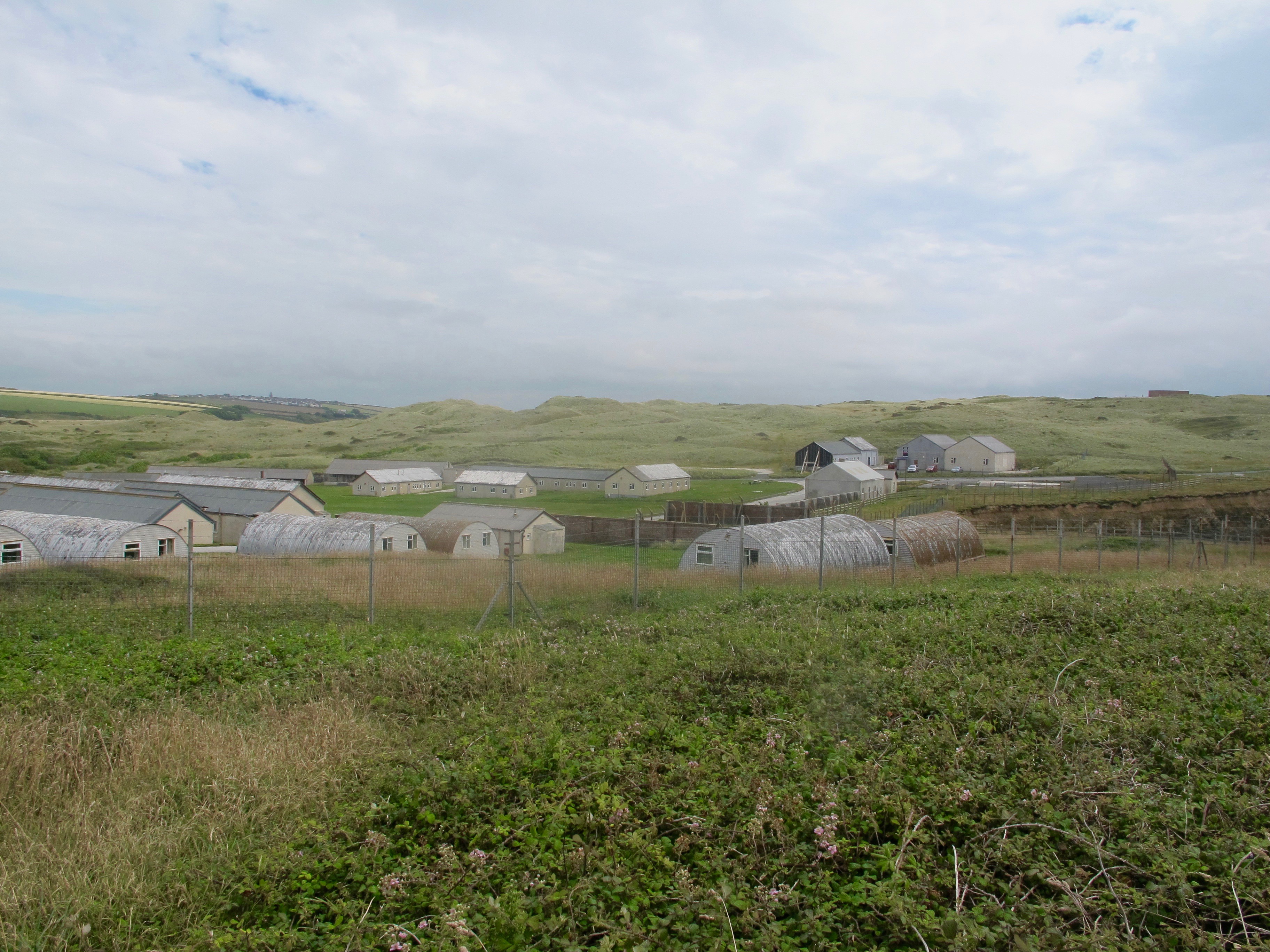 The path allows me to walk close to the perimeter fence and I peer in but despite two parked cars I see no signs of life.
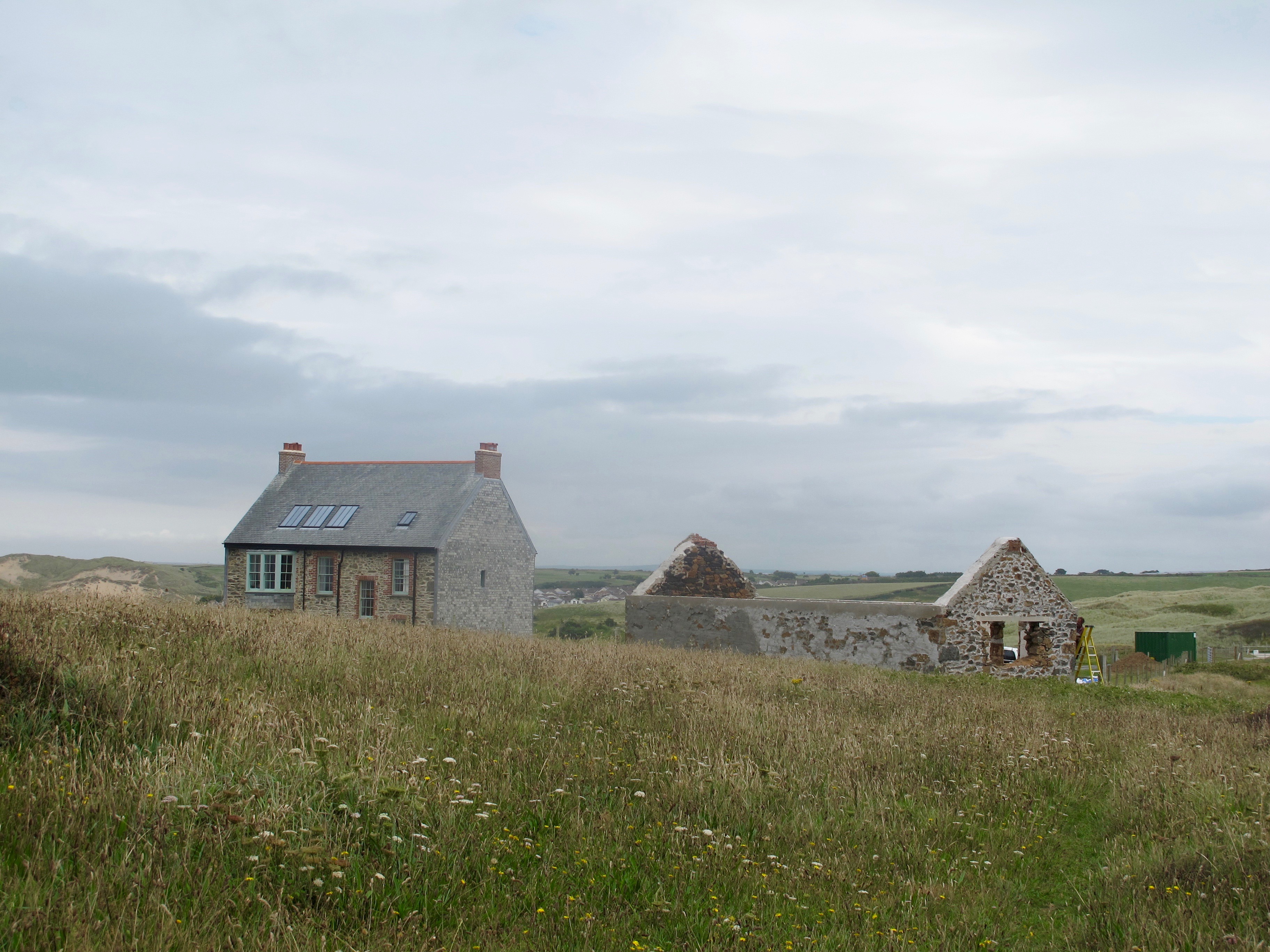
Relieved to be out of the military zone I am surprised to catch sight of a beautifully restored stone cottage, perched on a hill off to the left.
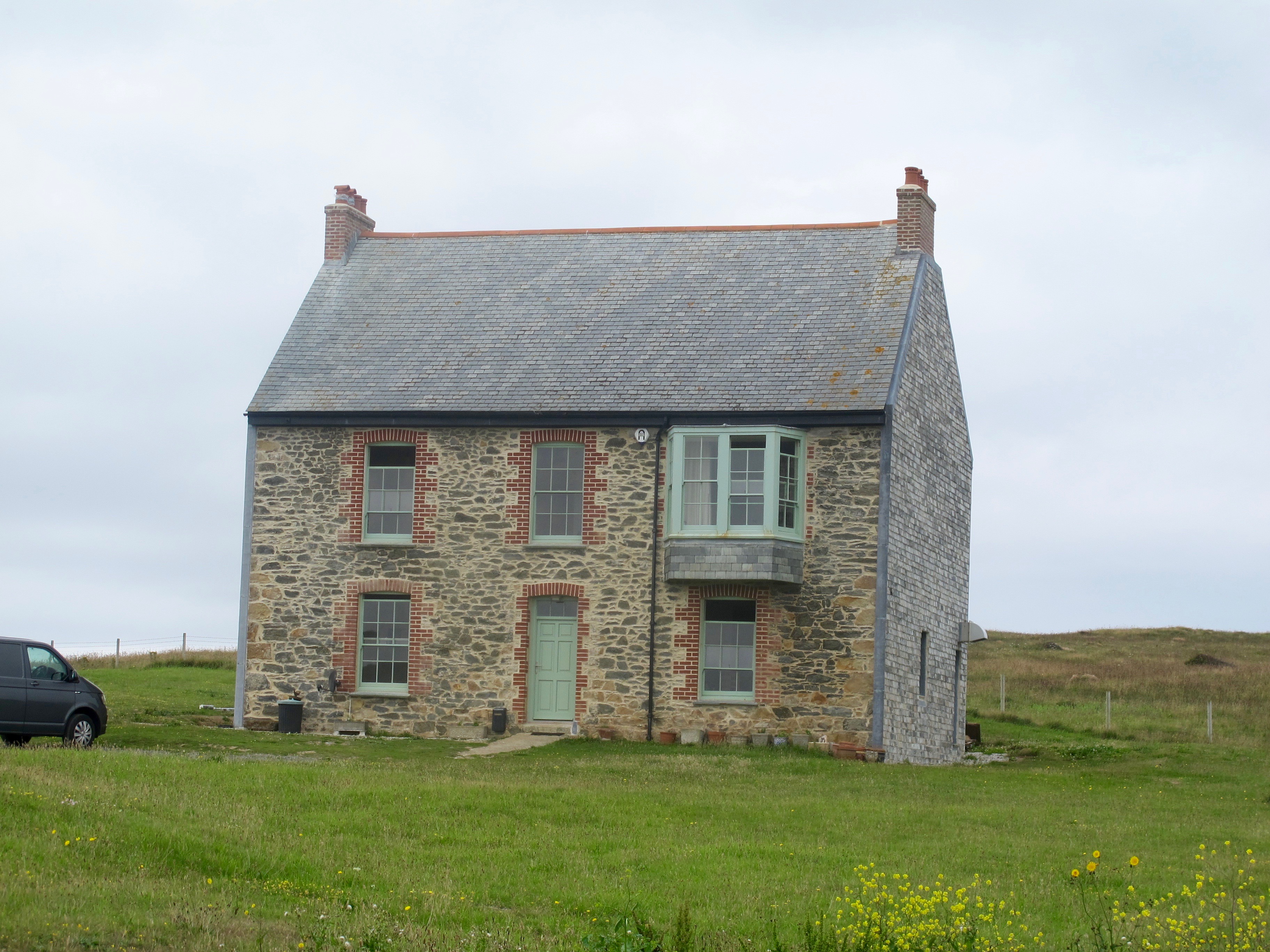
It sits uncomfortably with the camp below it, although from the top windows on the other side the view over Perran Beach must be stunning.
There are also signs of building activity on the ruin next door………………
I sit on a bench nearby, retrieve a battered sandwich and contemplate the gorgeous view.
After this short rest I consult the map which seems to indicate that the official coast path runs either on the beach or through the dunes behind. I know the tide is coming in but have no idea how far up it will come or whether I will be able to get back up onto the cliffs at the end of the beach (you may perhaps have heard this before?)
I decide to walk down onto the beach, take a photo of a pretty little cave and then change my mind and walk back the track again!

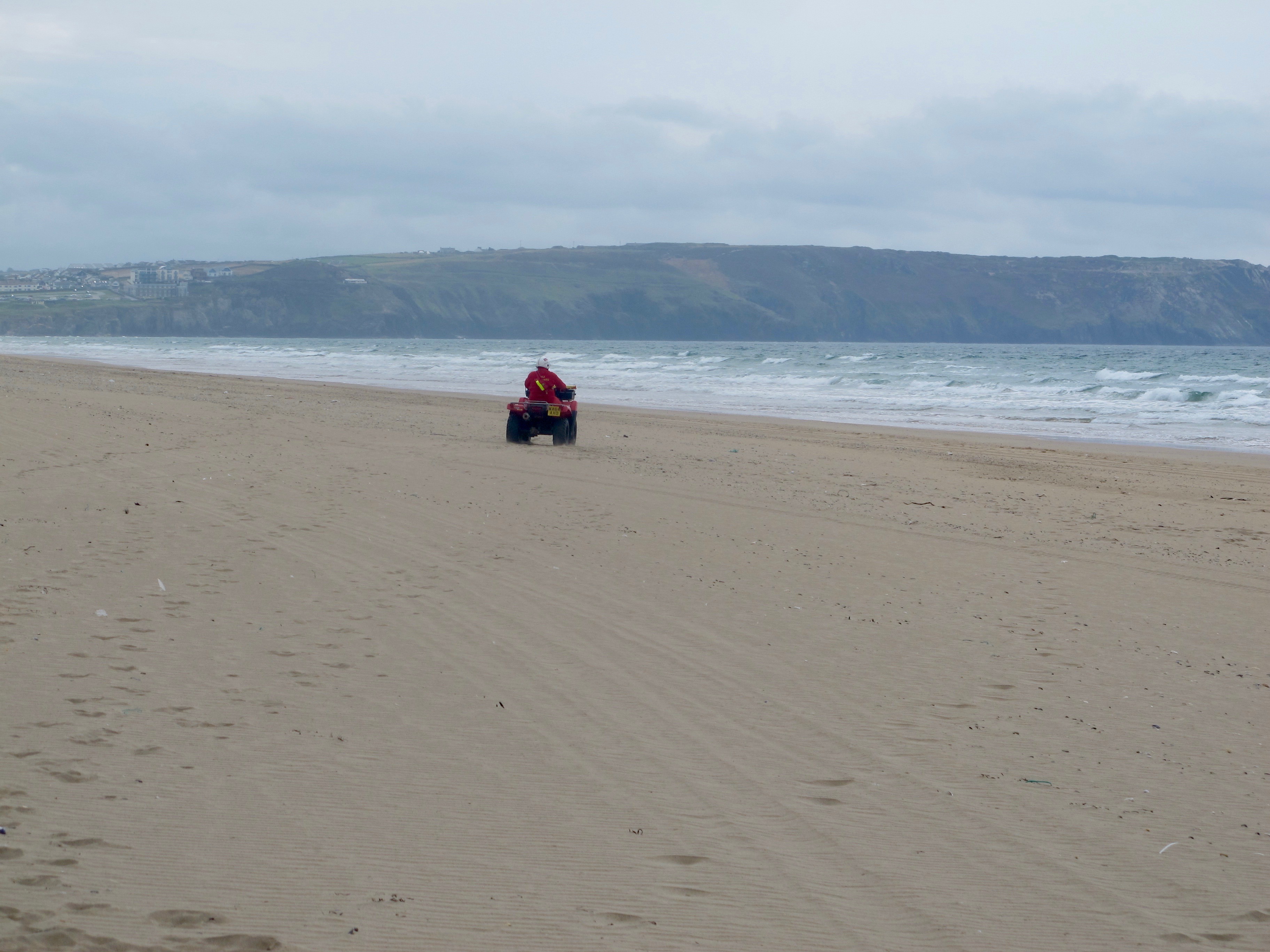
Fortunately, as I stand “humming and harring” I hear the noise of an engine and turning round I see a lifeguard on a four wheeled motorbike racing up the beach. Like a real damsel in distress I wave and he screeches to a halt, gets off the bike, takes off his helmet and strolls over the sand towards me. My knight in armour turns out to be a super friendly Aussie who puts me on the right track, telling me that the tide will not get any higher and that there are metal stairs at the other end of the beach to take me up onto the cliff. Before I get time to take a proper photo, he is back on his bike and taking off down the beach.
Relieved, I take off my boots and socks and start walking close to the sea where the sand is dampest. At regular intervals clouds of sand flies swarm around washed up jelly fish, frantically burying themselves in the sand when they sense my approach. I test the reaction several times as I walk, enjoying the onset of furious activity and then the calm as they hide themselves from me.
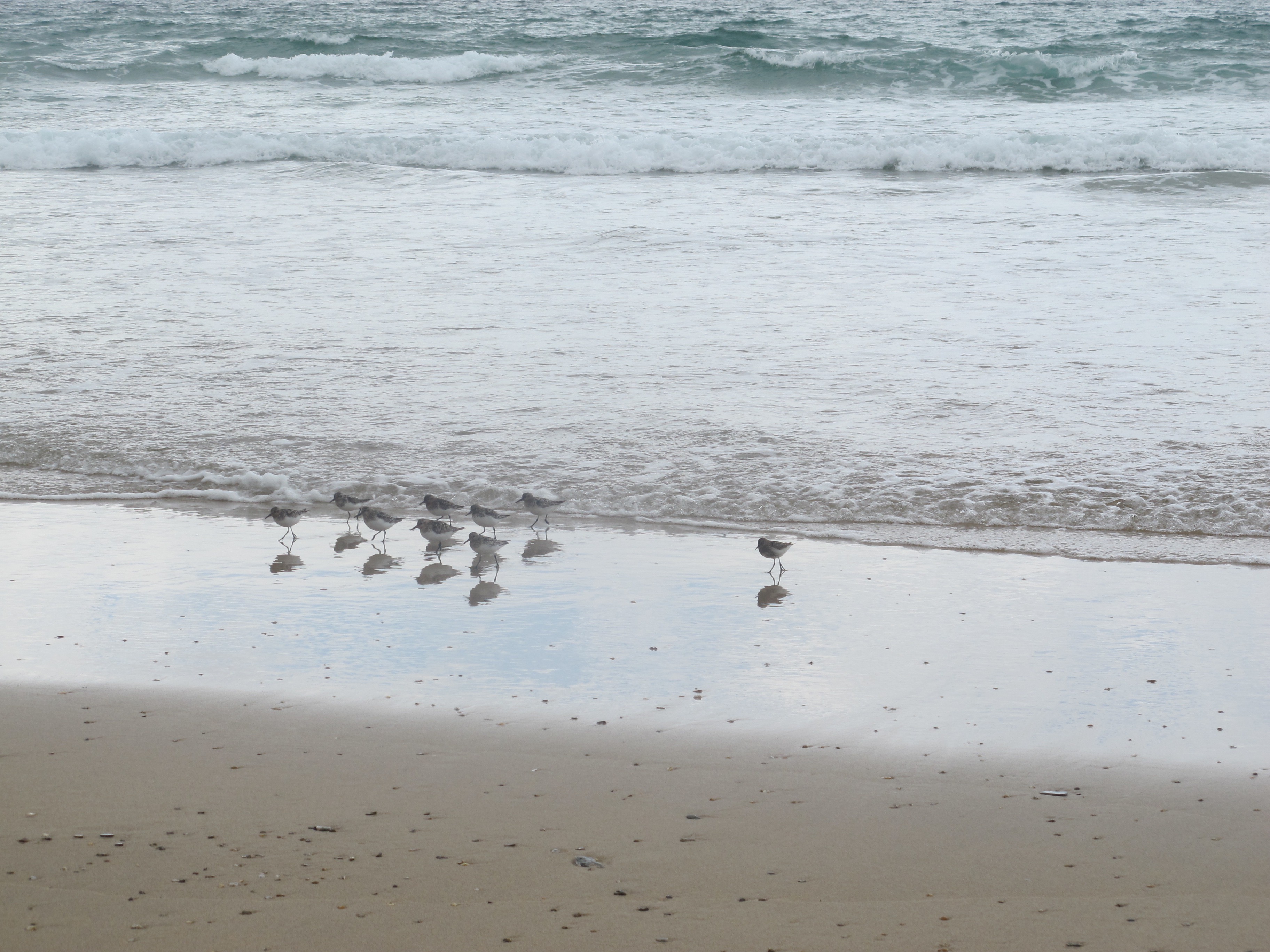
I also enjoy the sudden sighting of group of sanderlings scuttling along by the water’s edge, reminding me of the Norfolk beaches where I saw them first.
Eventually, I reach the metal spiral staircase next to the lifeguard station at the end of the beach. I love the sign……

From the top of the cliff I can see Perranporth, which really doesn’t look any better than when I saw it last, but at least I now know where the bus stop is to take me back to Newquay. It has been a wonderful walk.
Distance: 12 miles
NB – to any readers – if you want to see the map that always comes at the end of a blog post, you need to click on the link at the bottom of the page which will open the post in a browser and there you can see it.

Looks a lovely peaceful walk. Pete and I stayed at a campsite on Holywell bay. Good to know there are lifeguards around! Military sites always creepy.Xx
Porth joke is known as Polly Joke locally. It is Houghton to come from the Cornish Pol Juak (something like that anyway) and it means Jackdaw Cove.