
Behind the backs of a row of beach huts we find two large carparks with no indication of where or how much to pay. Damian asks someone just getting into his car if he knows anything. The man in question laughs and says “Yes you’d think there would be a board wouldn’t you? It’s National Trust property and my wife works for them, but as yet she’s not been able to get them to put up a simple sign – in the meantime you need to go and pay in the cafe up on the promenade” Damian goes up to pay and is not given any ticket or sticker to put on the car. Weird…………..
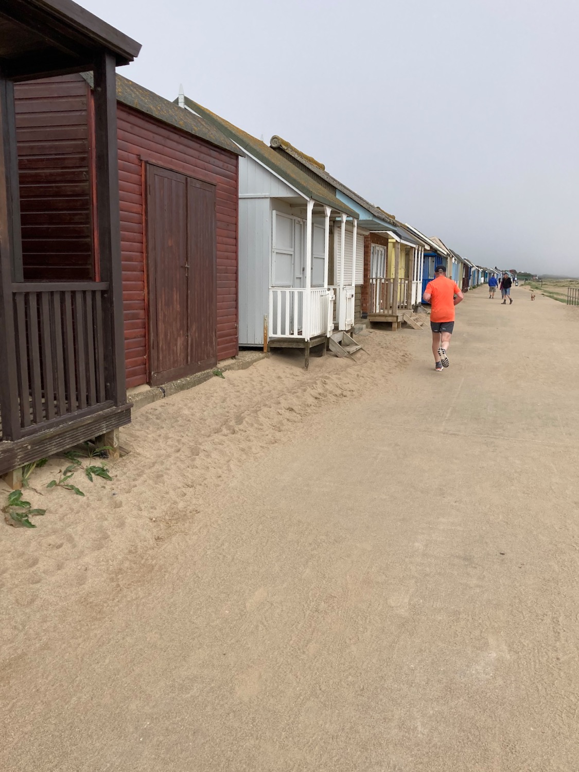
It is another lovely day but too early for people to open up their beach huts – there are a few dog walkers and joggers around.
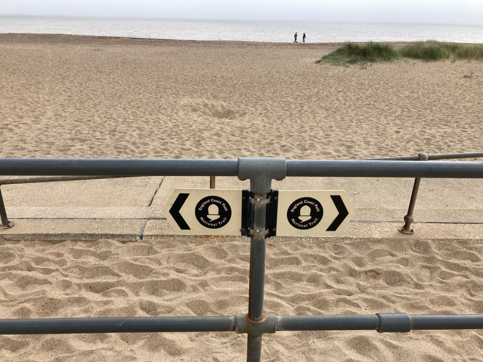
The England Coast Path sign appears again……
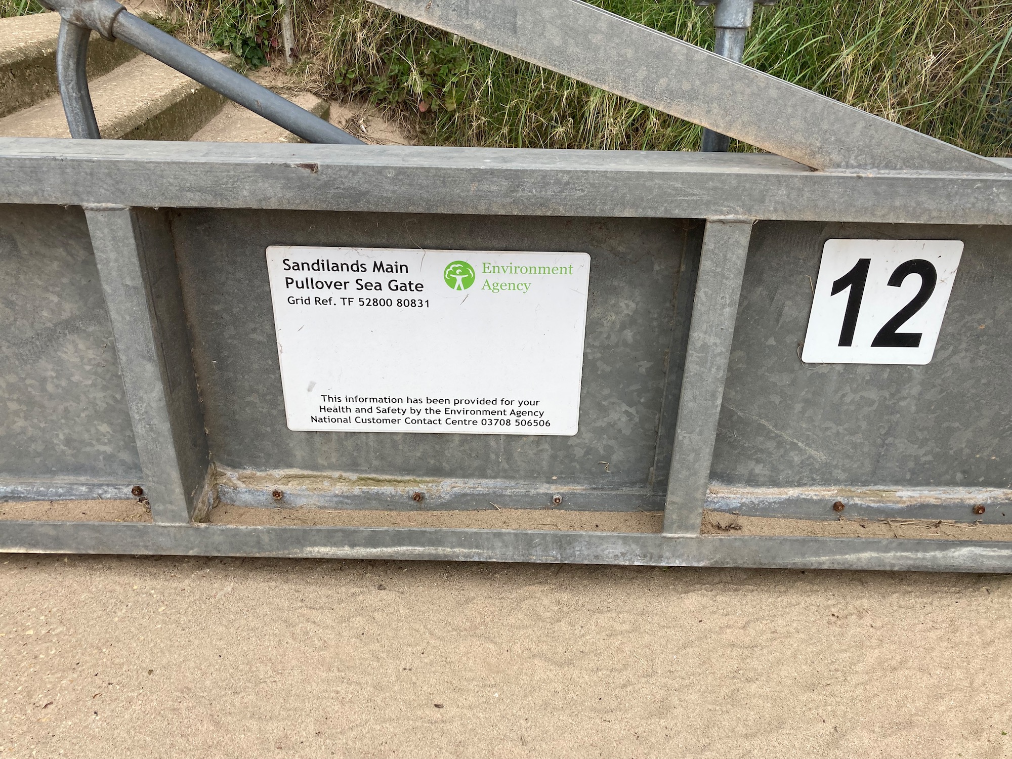
One more sea defence mechanism – we’ve walked past quite a few………….
And a little later on we are given the story of previous floods – the most dramatic being the East Coast Flood of 1953. The exhibition of photos and newspaper cuttings is housed in a bright green container – we pop in for a look.
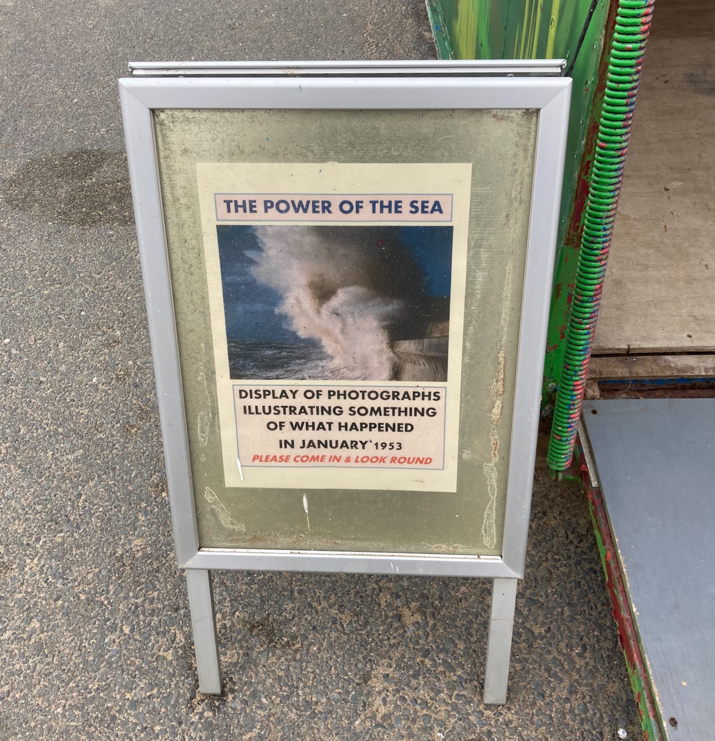
There are several grainy photos of huge waves crashing over the seafront and the many bulldozers and cranes needed to clear up afterwards – and just as many stories of that fateful night. This is a small excerpt from one that catches my eye. I love the fact that with a disaster pending someone decides to play the piano.

Further along we walk past more beach management – heavy metal pipes lie on the sand, diggers and tank like machines stand around. This is apparently all part of a process called beach nourishment, which attempts to restore the levels of sand lost to unusually high tides and floods. Dredgers transport sand from off shore sites and pump it onto the beach at high tide through a 630 metre long pipeline.


Marine Ingenuity indeed…………………..

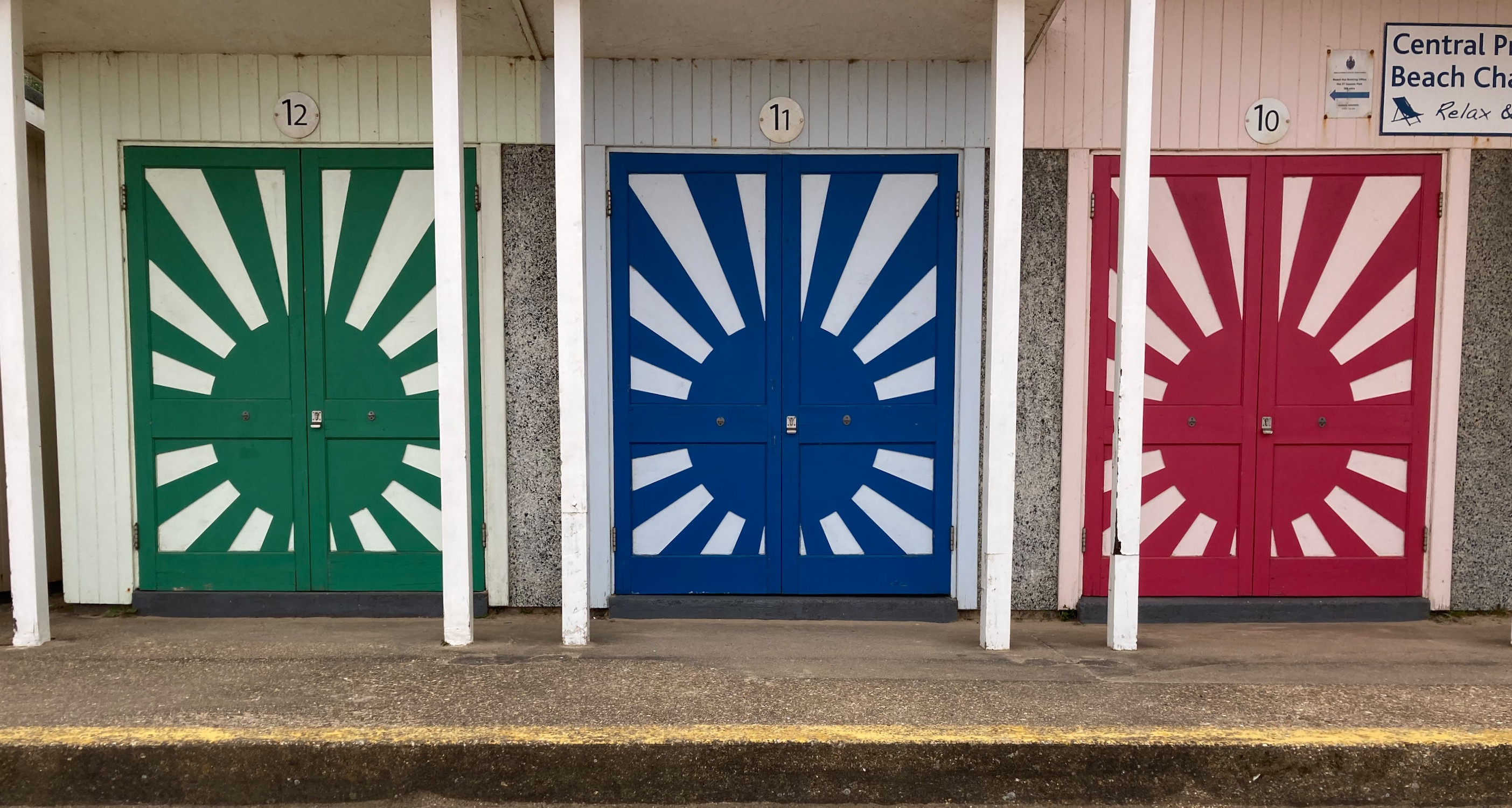
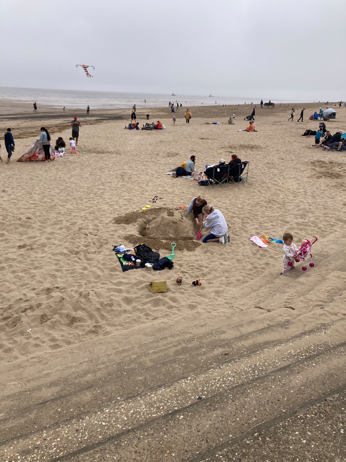
We are now approaching another popular holiday destination – Mablethorpe. Endless lines of beach huts lead up to the main hub of activity. I quite like these ……
Small shop and cafes appear – I walk quickly past the fresh doughnut (or is it now donut?) stall – one a week is enough.

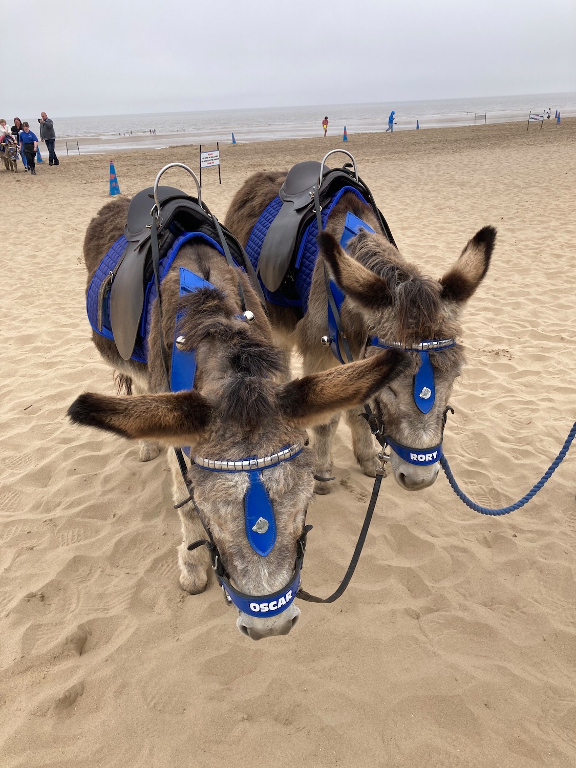
……………..and then jump down onto the beach to say hello to the sleepy donkeys. My stroking is acknowledged with a slow flick of a long ear but they don’t seem to have the energy for much else – well it is hot and they look healthy enough. My Mum loved a donkey.
Feeling little out of place we thread our way though the holiday makers and onto the sea wall.
Mablethorpe has been a popular holiday destination since the late 19th century with the opening of a branch of the East Coast Railway, and in1906 it received 92,000 visitors by train from London and the North. However, in 1970, due to increasing competition from road transport, most of East Lincolnshire train services were cut back or disappeared. Richard Beeching was at that time chair of the British Railways Board and during the sixties there were many small branch lines that fell under the Beeching Axe. One of these was my home town Llandrindod Wells in Mid Wales. The line connecting the town with Builth Wells, Cardiff and North and West Wales was duly axed although there is still a line to Swansea.
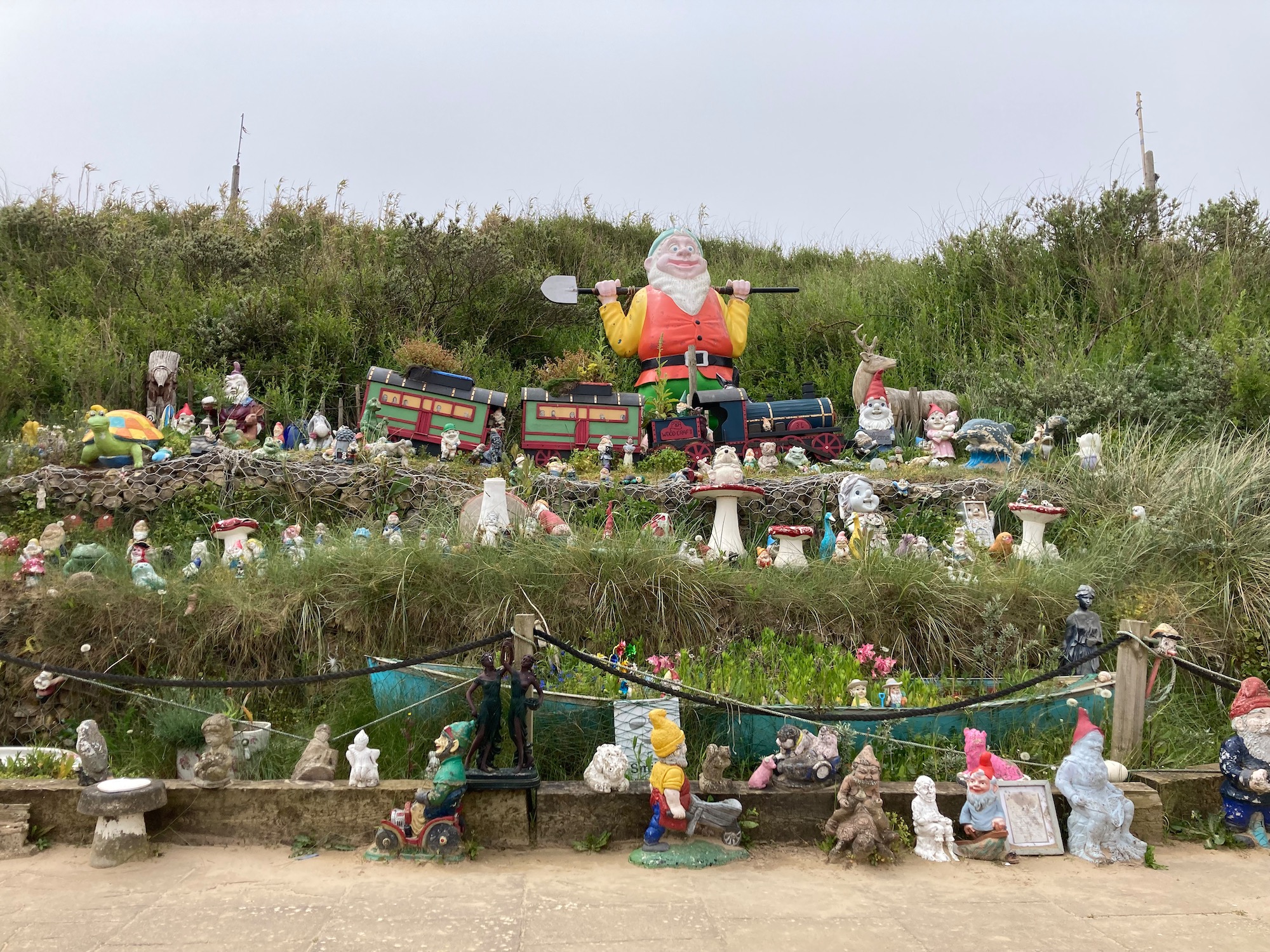
At the end of the beach is a very strange collection of garden gnomes and other fanciful creatures.
It is now time to leave the beach and head inland for a while. We pass the Seal Sanctuary and follow a wide road that serves yet another holiday camp. At least in this one the caravans have a decent amount of space between them and young copper beech trees have been planted at regular intervals.

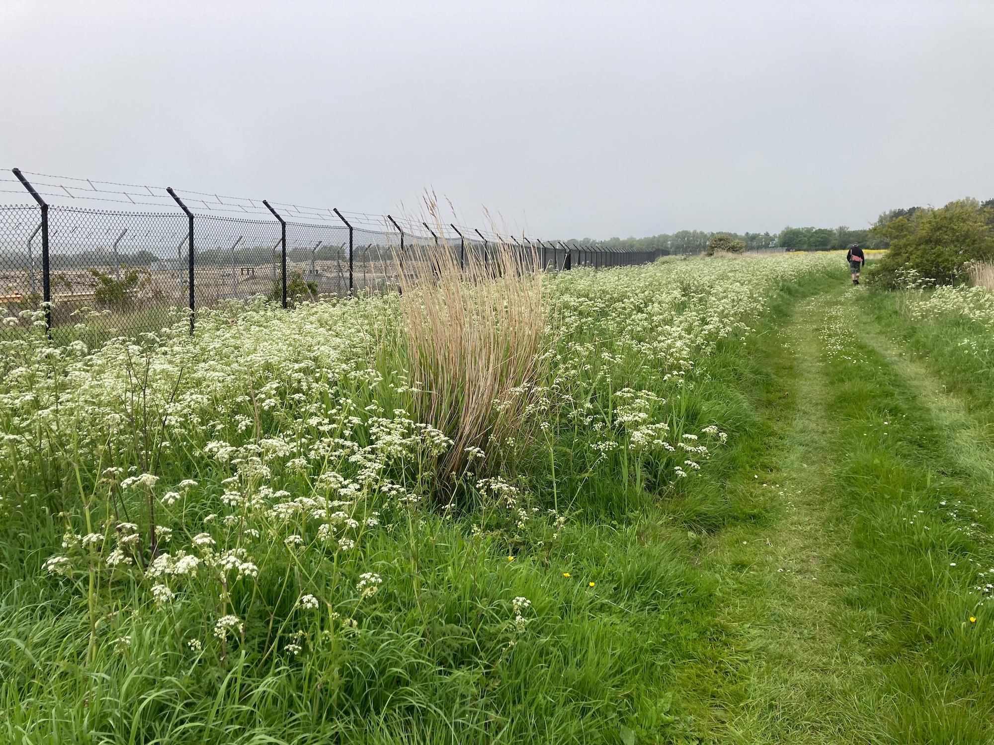
We then take a right turn off the road on to a wide grassy path – to our left is a large empty patch of ground surrounded by a serious fence – no idea what goes on there and after consulting the map I am none the wiser.
I suddenly hear the sound of a cuckoo which seems quite incongruous in this setting. I have often wondered about cuckoos – what on earth motivates them to sneak into another bird’s nest to lay an egg and then it’s bye bye sucker. They even remove an egg so as not to arouse the host mother’s suspicions. Are they just lazy? Or do they have no maternal instinct? A mystery…..
At the end of the path we hit a minor road leading to a carpark, one of six that break up the nature reserve all the way to Saltfleet.

The path now wends its way through four miles of sand dunes and marsh, some of it fenced off with barbed wire to allow for cattle grazing. Reading this notice I learn that another method employed to locate and control the cows is through GPS technology. At first I think that this must mean the cattle are running free, which for me would not be ideal, but later I realise that this type of technology would be used to track their movements inside the wire. Phew……

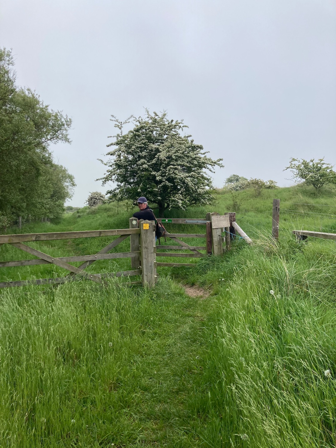
This is a picture of Damian waiting for me to catch up…………………
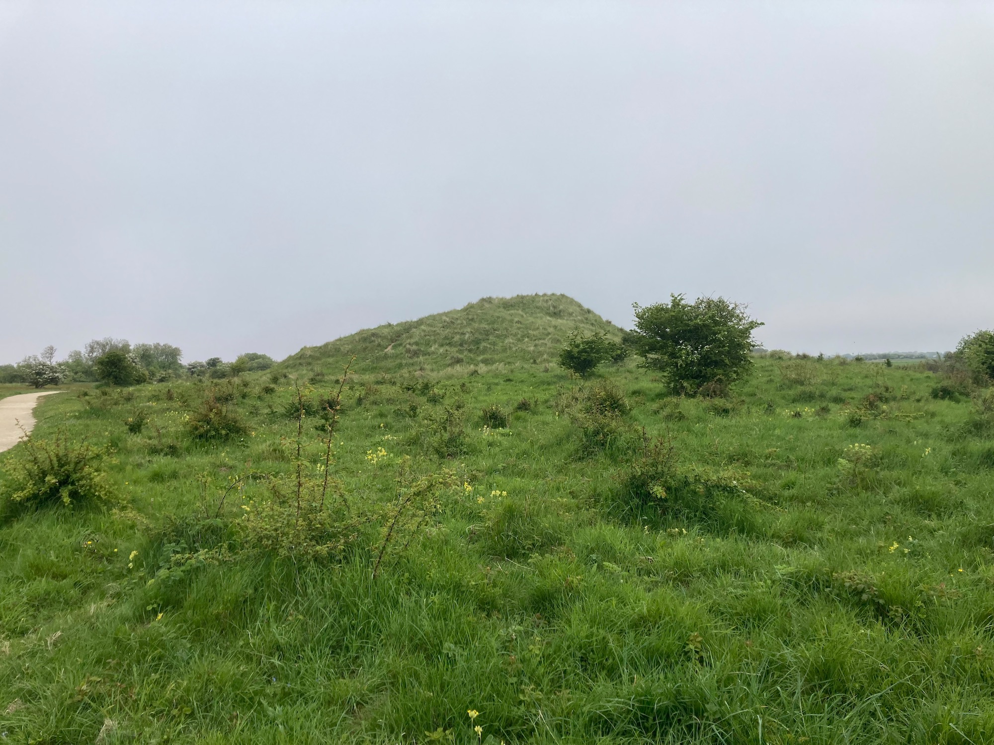
…………………….and here is a very big grassy dune……………………………………………..

So now you know………………
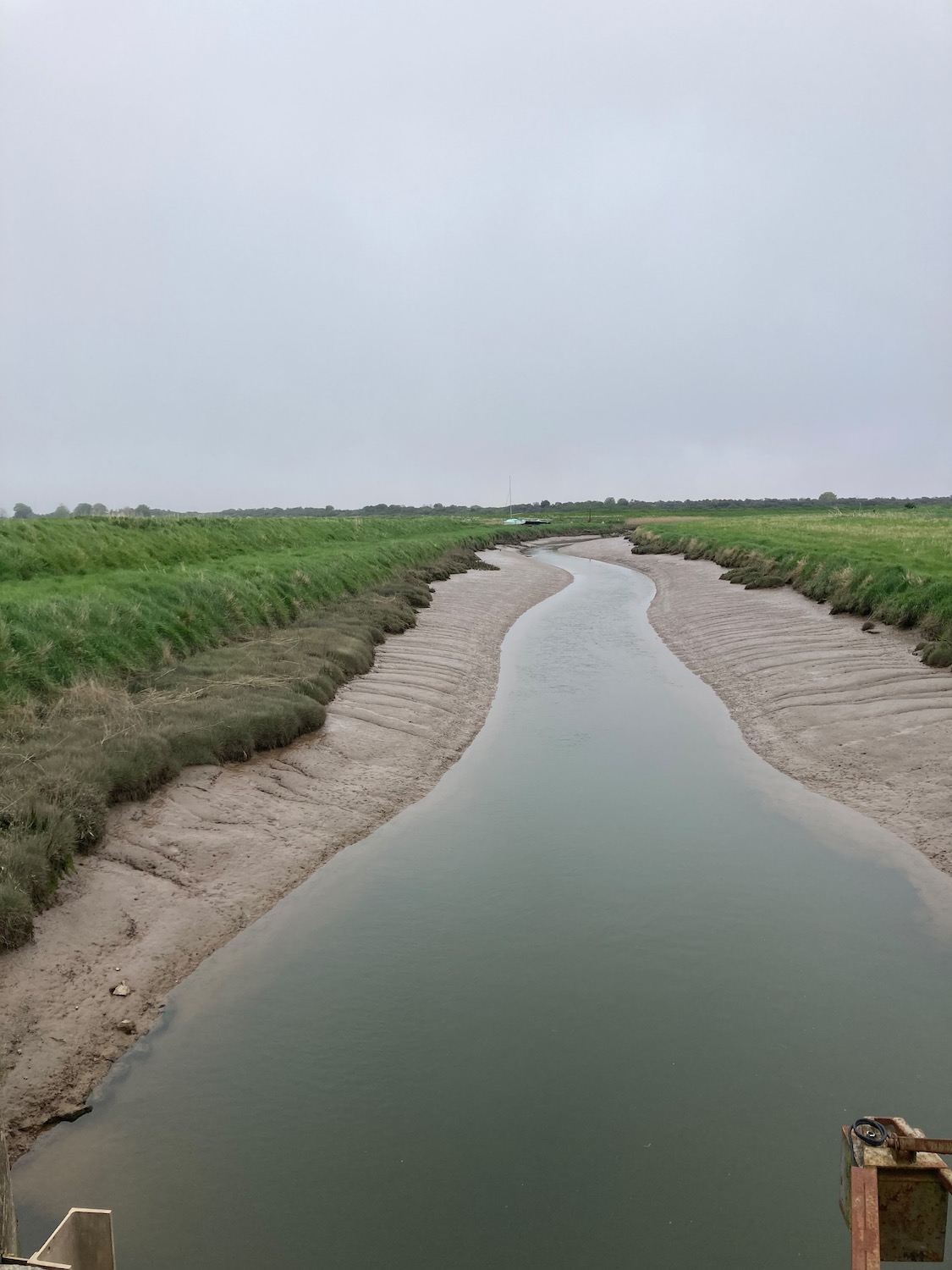
As we approach Saltfleet the dunes recede and we’re back to very recognisable Lincolnshire marshland. This is taken from a bridge over what is marked on the map as The Great Eau.
Walking in the centre of the village we pass a pretty windmill and then make for the pub. I would not recommend The New Inn in Saltfleet – TV screens blaring sports news and the whole place devoid of atmosphere. This is a pity because the village has some interesting historic buildings and a vast unspoilt sandy beach. Anyway, we take our drinks outside to the uncared for beer garden and rest our weary limbs. Tomorrow is another day.
Distance. 11 miles

A very interesting walk. I have often dreamed of having a beach hut. Glad to hear about the beach endeavours in Mablethorpe. That 1953 storm sounds terrible. Loved the pictures of the donkeys and gnomes. I believe Beeching was hired by a Conservative transport minister who was a road construction businessman ! GPS for cows and technology to date sand dunes. Amazing.xx
So interesting. Learning about more about Lincolnshire. Thank you. X
Thank you for reading and see you soon x
Another great walk with much to be learnt en route. Scary bar for a beer at the end….😳