
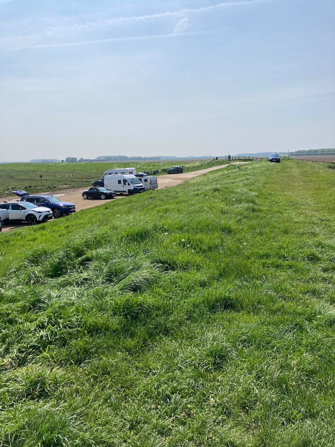
Horseshoe Point is perhaps not an obvious choice for the start of a walk – a small carpark facing the marshes. It is however roughly ten miles south of Cleethorpes, our final destination.
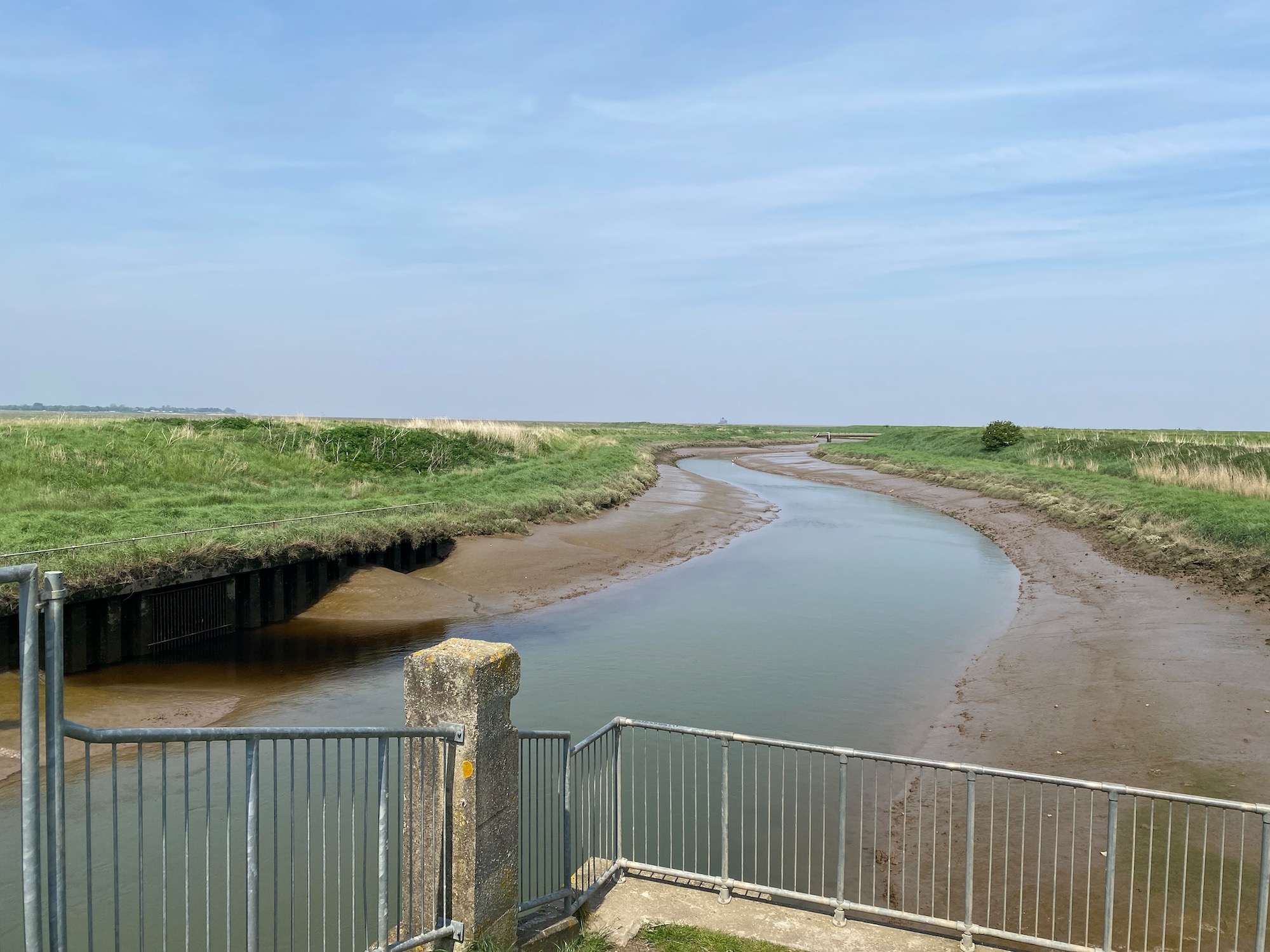
The carpark is quite busy when we arrive and there are quite a few walkers who are nearly all setting off in the opposite direction to ourselves. Our route is along what is marked as a permissive path, which hugs the coast and then curves around to the left. The map shows a bridge which we will need to cross to take us over the Louth Canal and I am a little apprehensive as to whether we will have access to the bridge (a worrier me?) Fortunately I manage to hail a passing couple who are setting off in the same direction as ourselves and they assure me that there is no problem with the bridge.
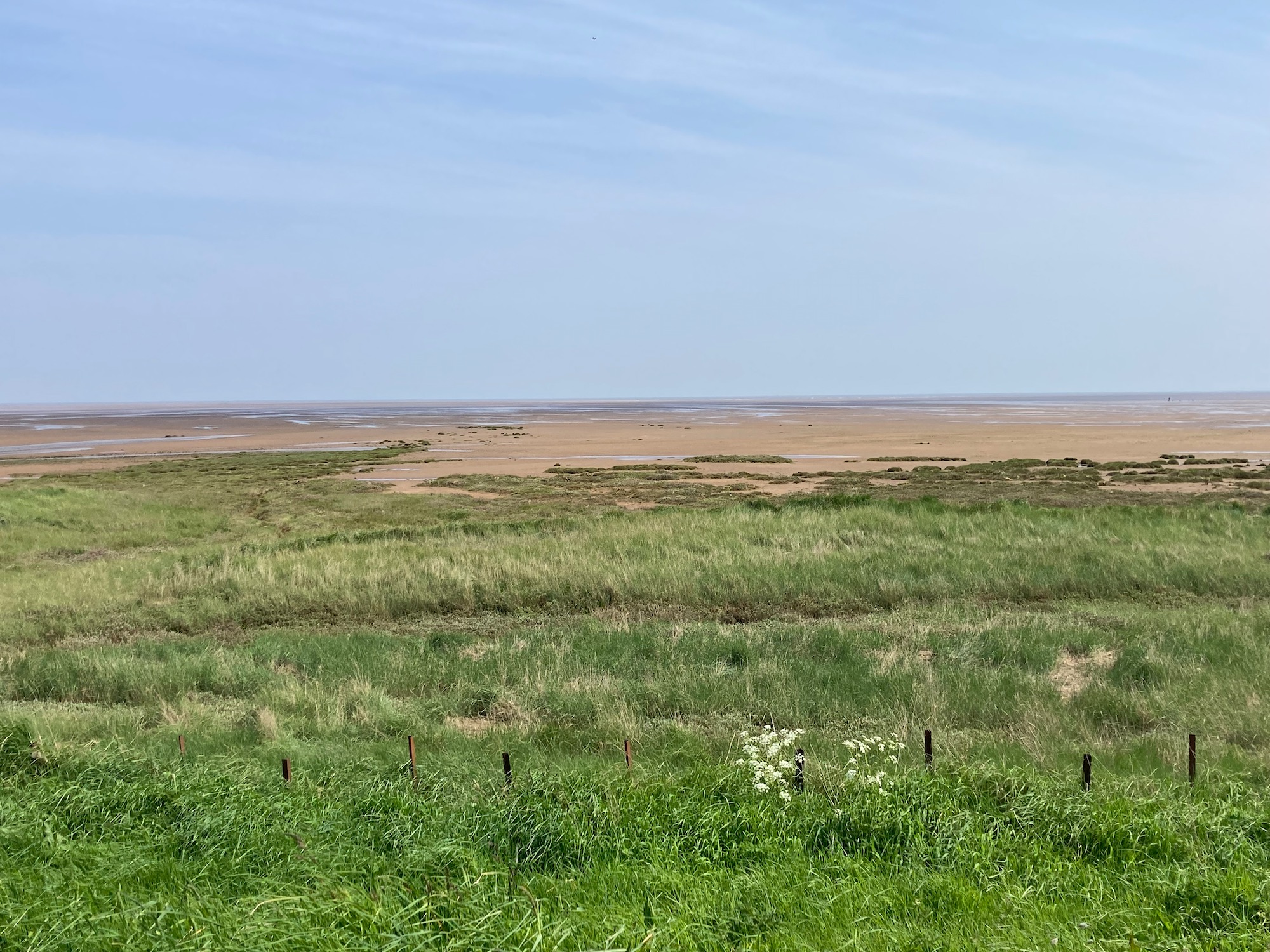
It is a lovely sunny day and if you scrunch your eyes up you can almost see the sea in the far distance.
After three miles or so we come to the bridge and yes it is perfectly accessible.
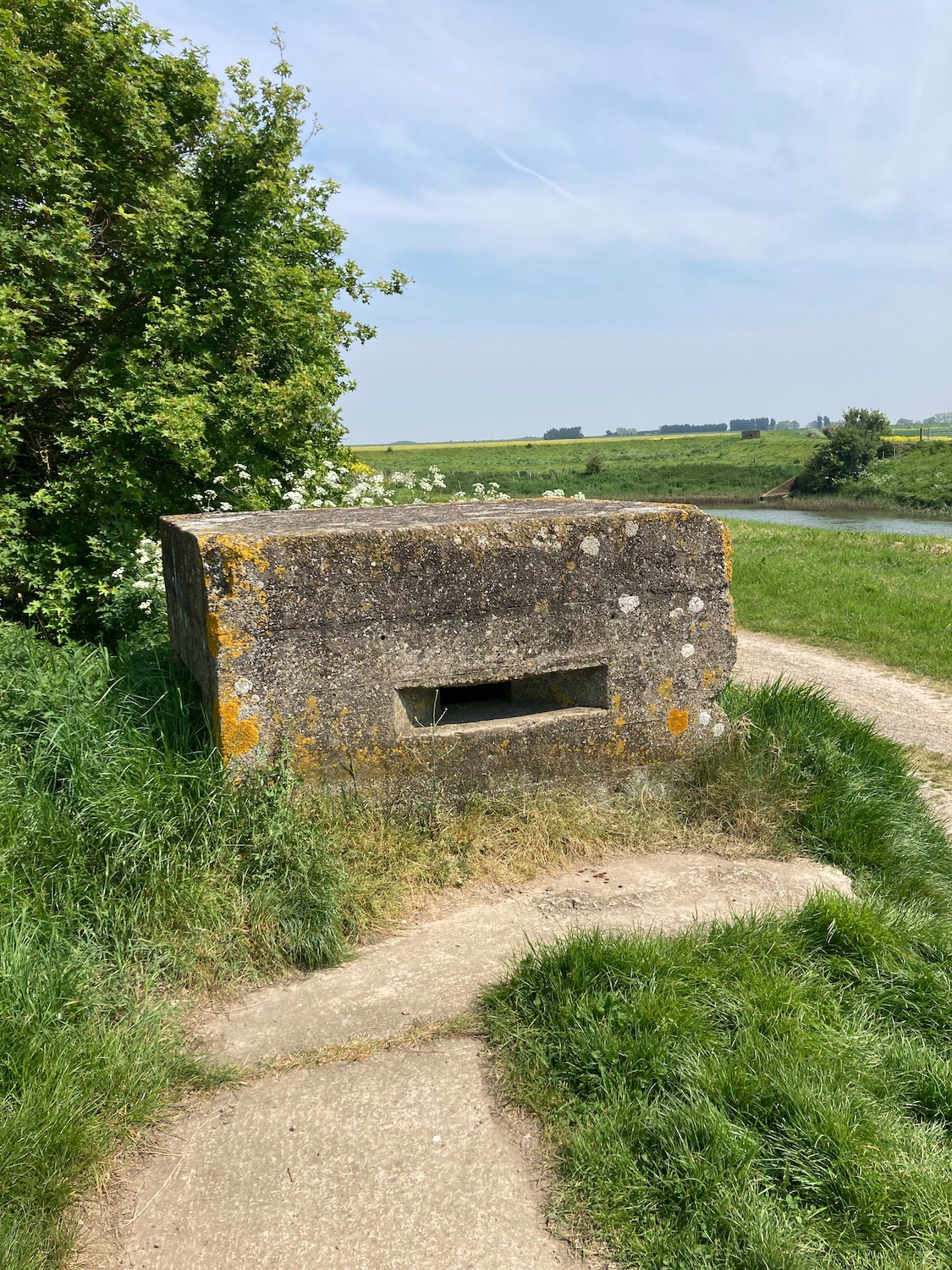
On the other side of the bridge the path is clear, taking a turn to the right past a concrete military pillbox – we have seen many of these on our recent walks. Perhaps this one has been placed here to protect the canal. Apparently, during the Second World War there were 28,000 of these anti-invasion defences along the coast of Britain, and a lot of them were in Norfolk, Lincolnshire and along the Humber Estuary.
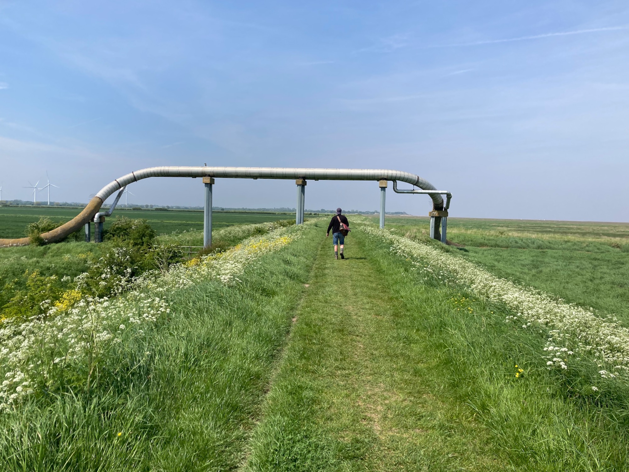
At one point we walk under a huge drainage pipe I assume………….
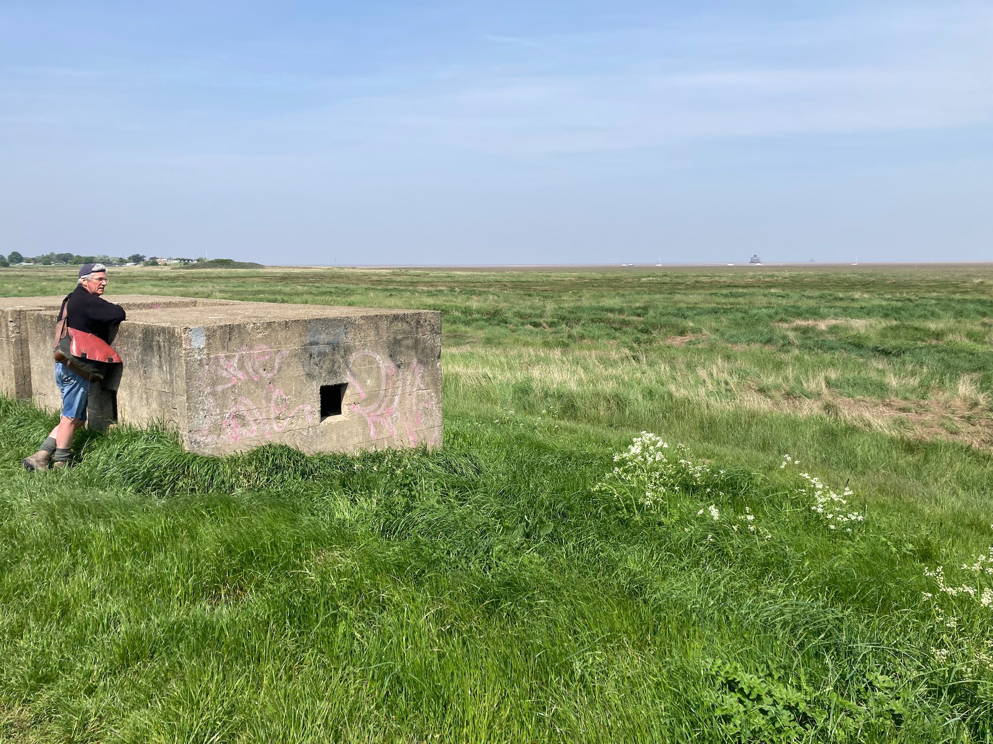
And another pillbox – what must it have been like for soldiers to sit in these concrete boxes, ready to fire their weapons at any time. Although we are now bombarded with dreadful stories of war and conflict in other countries, in most of Europe, our generation have been so lucky not to experience the horror of warfare at first hand. Damian decides to lie on top of it and sunbathe – I walk on…………………..
We are now approaching the end of Tetney Marsh Nature Reserve where the path runs past a couple of lakes. In the distance is a carpark and a low brick building – could this be a tea/coffee stop? But alas it turns out to be the Humber Mouth Yacht Club.
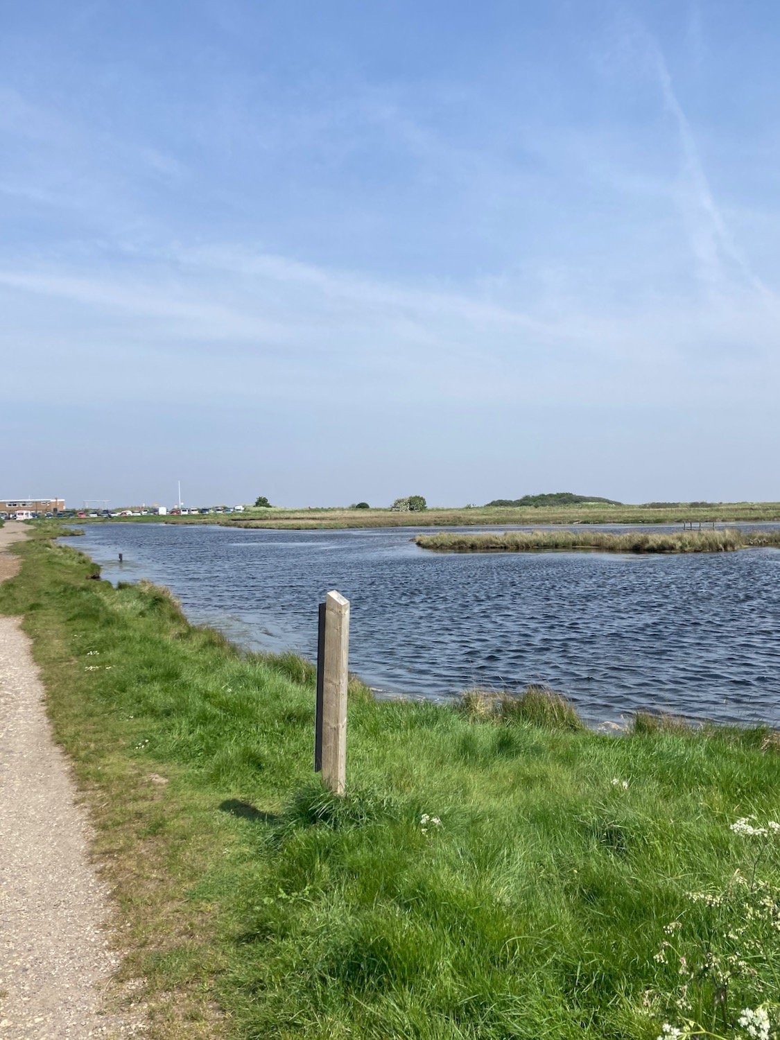
It is however definitely time for a refreshment stop so we find a bench facing the estuary and get out the sandwiches. Out to sea we can just about make out the shape of some kind of fort but my camera does not do it justice …………….here’s a Google one.


There are actually two of these sea forts, both planned in 1914 but not finished until 1919 – a year after the end of the 1st World War! They were however re-activated and modernised at the start of the 2nd World War, housing 200 soldiers to protect the mouth of the Humber Estuary. The closest is Haile Fort and the speck in the distance is Bull Fort.
Behind the sea wall is an extensive area of well looked after, mostly wooden chalets. They remind me of the Danish “kolonihavehuse”………………………….I didn’t realise the link was a dead end so here’s a copy of the article……

It is not an uncommon sight on the outskirts of Danish towns and cities to stumble upon what at first glance looks like a miniature town; small patches of land rife with little houses and carefully tended gardens.
The kolonihave is a popular way to access nature for Denmark’s city dwellers, with allotments rented through allotment organisations known as kolonihaveforeninger. They can also be purchased on the private housing market. But where does the phenomenon come from?
The allotments emerged in the late 1800s, when they were used by workers in densely populated cities as places to grow vegetables and relax. They can be found all over the country and in most cases, the land on which the allotments and houses are built is rented from the state or municipality by the allotment organisation.
Since around the 1960s, the houses themselves have become more sophisticated, developing from being akin to a shed or beach hut. The most modern ones are now comparable to summer houses and may include amenities like electricity, hot water, a toilet and shower.

From an information board further up the path we learn that this neighbourhood is known as the Humberston Fitties – “fitties” being a local word for salt marsh. As we walk past, clouds of smoke billow across the roofs – somebody’s chimney is on fire.

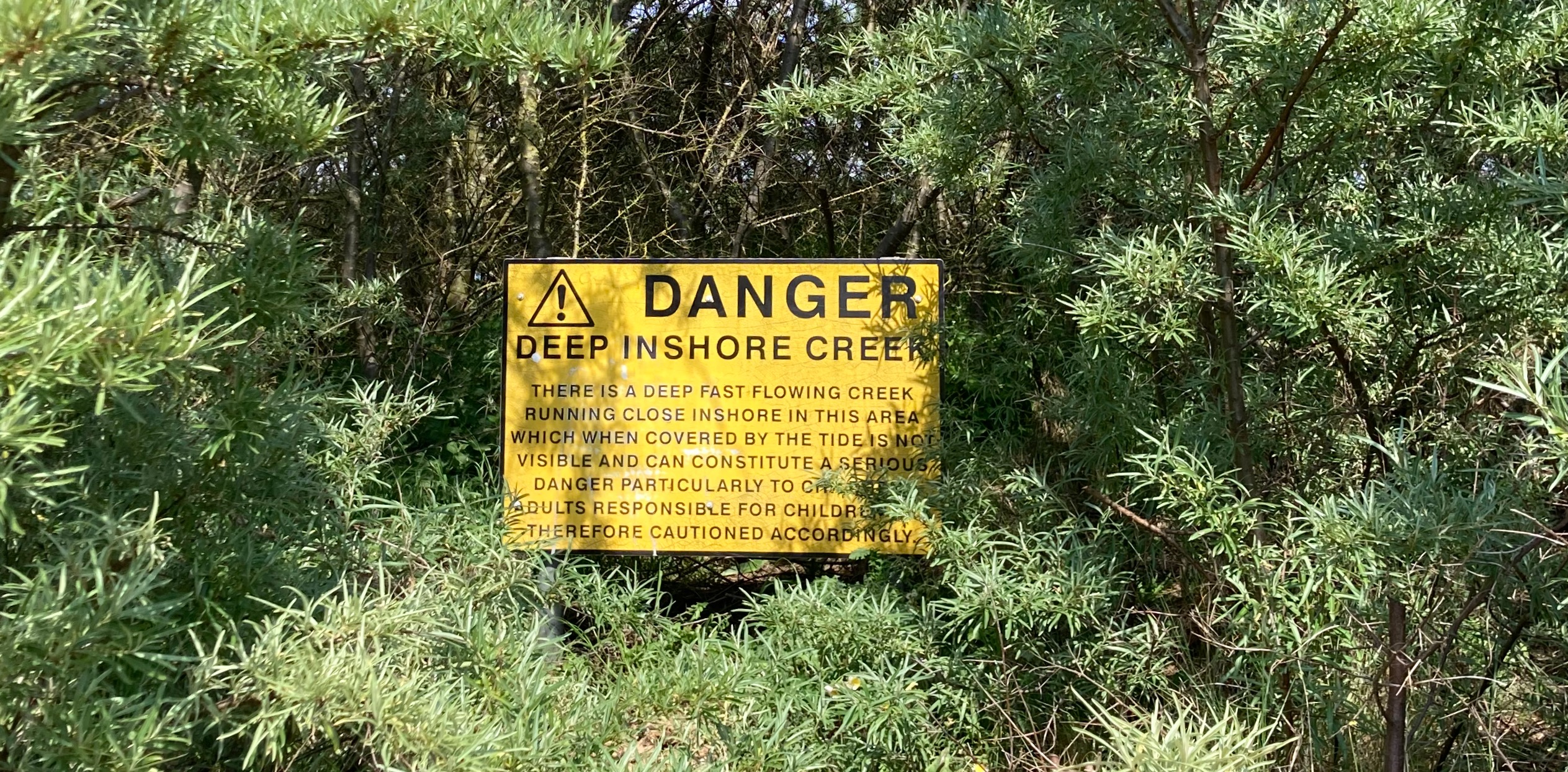
Lining the path are a few warning signs about what is apparently a treacherous stretch of water with a very fast rising tide. This reminds me of the time when I got myself and my younger sister stranded on an uninhabited tidal island close to where the family lived in South Wales. Sully Island sits in the Bristol Channel (Severn Estuary), which has the second fastest rising tide in the world. Access is on foot across a rocky causeway, a walk which is only possible three hours each side of a low tide. I loved that island as a place of escape from daily life, and my enthusiasm for showing it to my sister must have clouded my judgement of the tides as we suddenly found ourselves unable to walk back.
I can’t remember how long it was before the lifeboat reacted to our screaming and waving – I can only recall my embarrassment.
I can see marked on the map the Cleethorpes Coast Light Railway – which has a signal box at Humberston. The railway lines look a little unused but a little later we hear a whistle and a toot and here she is…

I wave but there are only a couple of children who wave back…..waving at trains and boats seems to be in my DNA but that is not true of everybody.
And if that was not enough excitement ………….really?
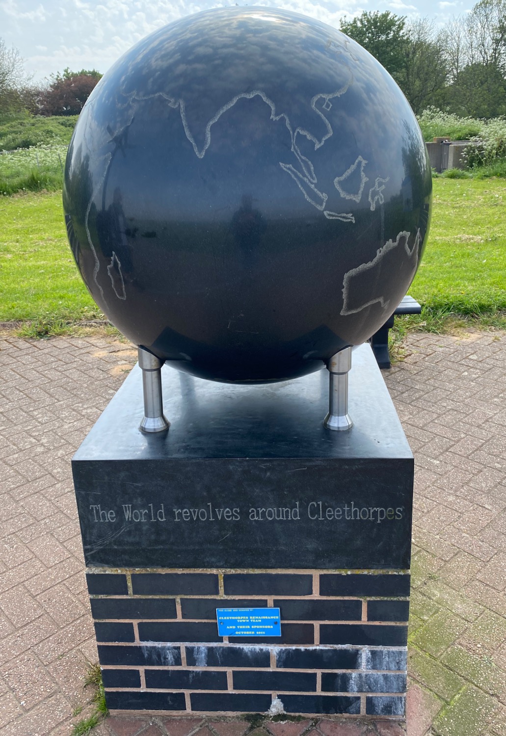
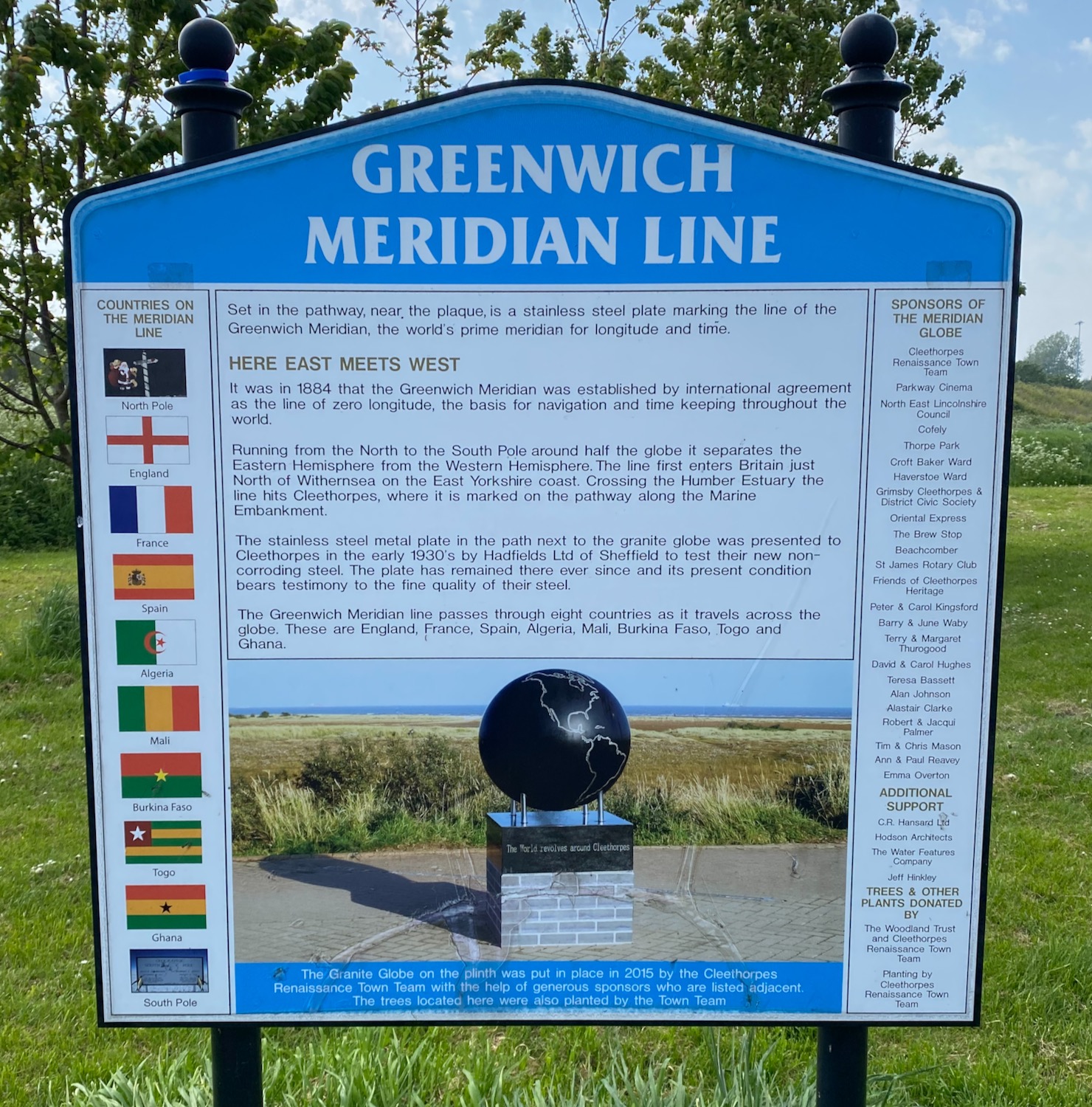
Apparently, Cleethorpes lies on the Greenwich Meridian Line along with 10 other countries.
We walk on, past the Discovery Centre (too hot and tired) and along the promenade. Cleethorpes is busy and there are quite a few people out on the beach enjoying the sunshine – even though the sea is miles away.

This has been a lovely easy walk with no dramas – all we have to do now is get the car back.
Distance: 8 miles

Enjoy read Patricia, who knew that Cleethorpes was on the Greenwich meridian! And I wouldn’t want to be a soldier stationed in that fort 😀
Yes- it was probably a bit claustrophobic ….thanks for reading.
Lovely blue skies and interesting information about the pillboxes sea forts and meridian line. Liked the wooden chalets and signal box. I remember the Sully island incident . I don’t recall being particularly bothered probably because I was with my big sister! xx
Another great walk. I would have been happy to jump on that train for the last mile into Cleethorpes…..but Tricia wasn’t having any of it…..
Tried to read the article about Danish Summer houses but it wanted me to sign up etc so I didn’t bother. As I’m a bit danish now I kinda know what they are anyway. If you were Oor Wully you’d call them a wee but’n’ ben or a bothy. They’re an escape from the city.
Brilliant idea, clever old Danes……
Oh! I didn’t realise the link was dud so I’ve just updated the post…….thank you Damian for alerting me to that….