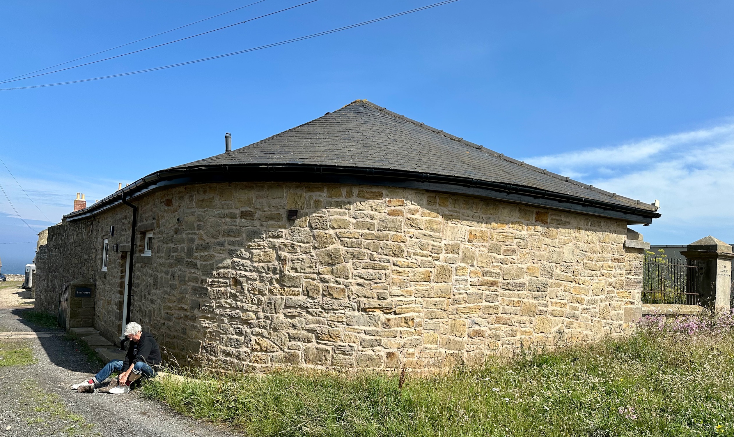
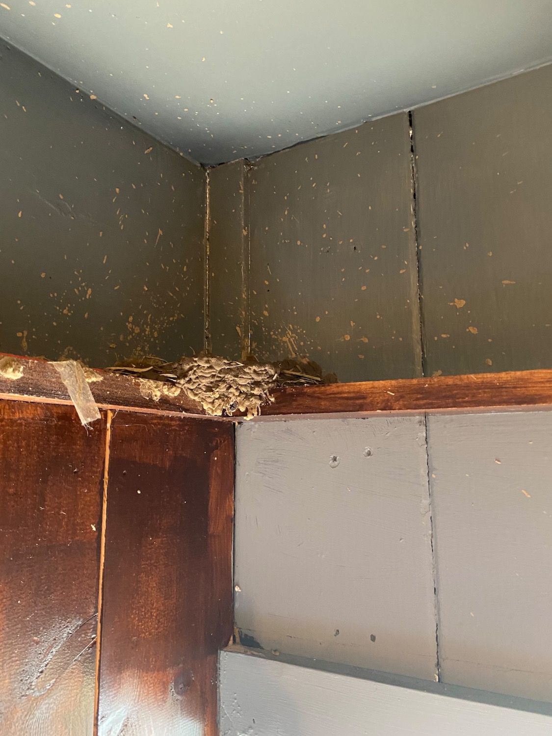
Damian arrives back around lunchtime so we plan a short walk from Sea Cottage near Scremerston back to Berwick. It’s a beautiful day for lacing up your walking boots.
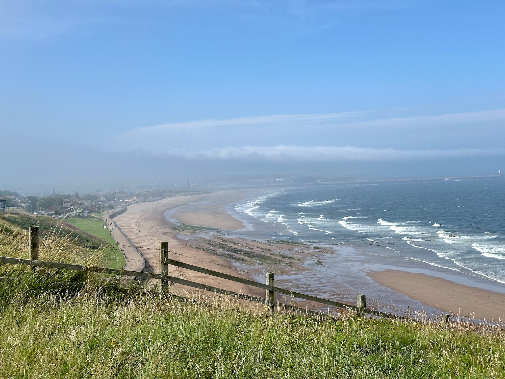
A clear path across the top of the cliffs presents us with views over what’s marked on the map as Cargie’s Plantation and Redshin Cove – both very un British names..
Doesn’t take long before we can see Berwick in the distance….
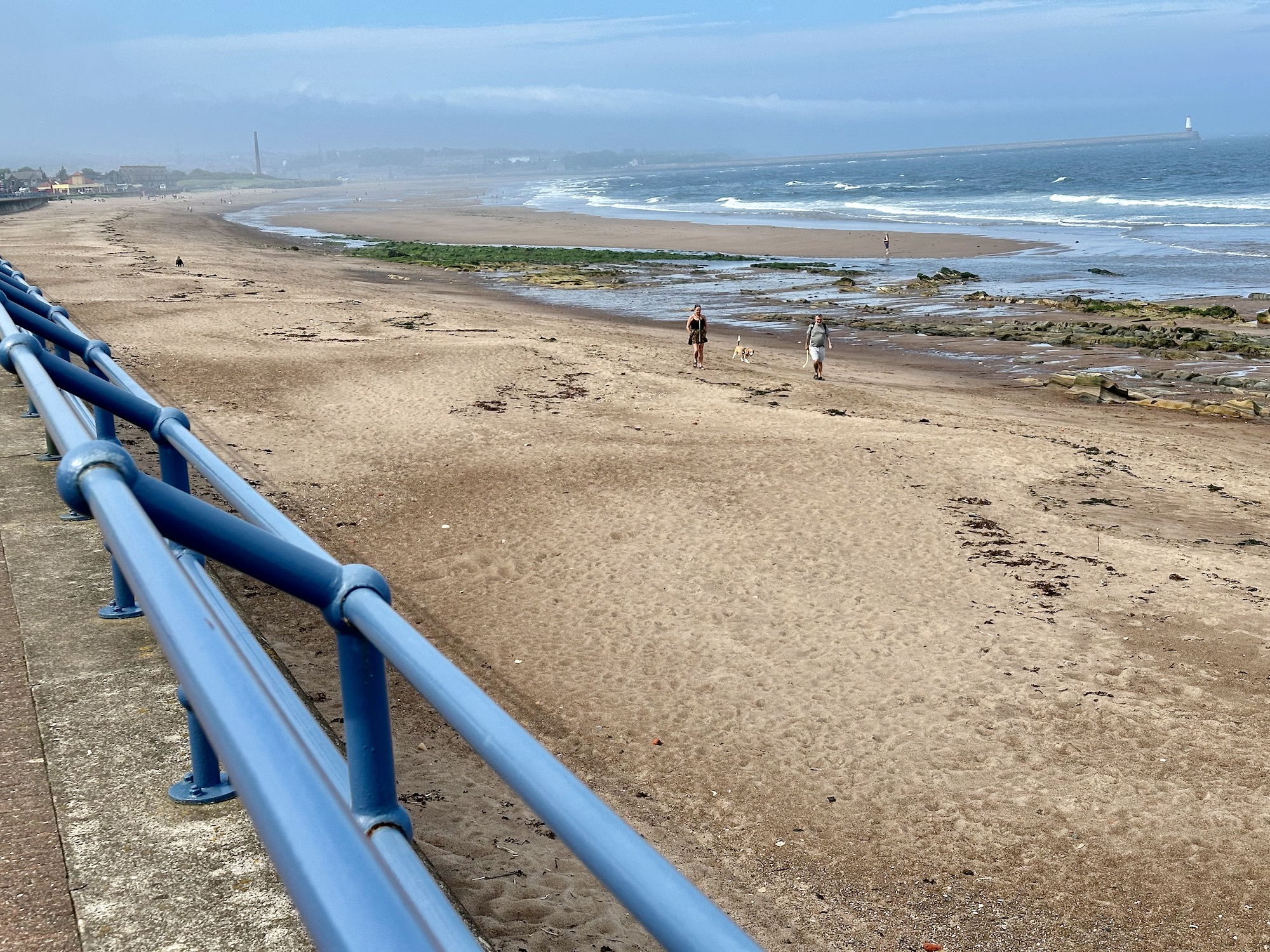
And then we’re down on the promenade…………
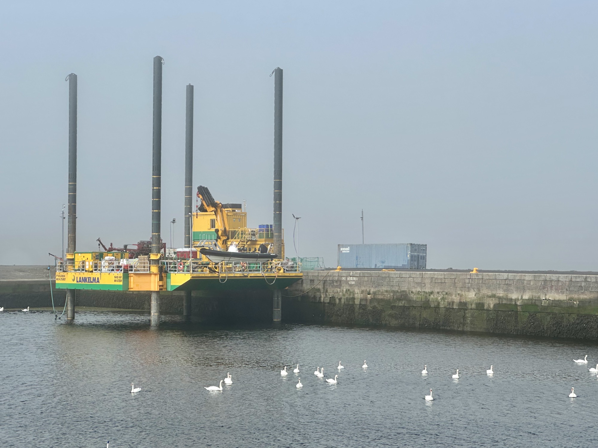
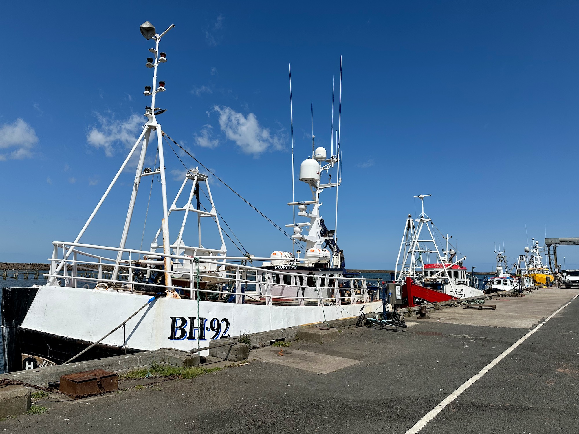
After a mile of seaside attractions the path winds round to the left to follow the south bank of the Tweed. We now follow a minor road past the docks – moored next to the harbour wall rests a Jack-Up Drilling Rig which allows for mobile offshore drilling in shallow waters.
I am much more interested in the flotilla of swans gliding around within the harbour walls.
Our destination is the Old Berwick Bridge where I started off a couple of days ago, heading north for the Scottish border. it is a majestic sight rising out of the mist.
It’s neighbour, the Royal Tweed Bridge is equally impressive in its own way.
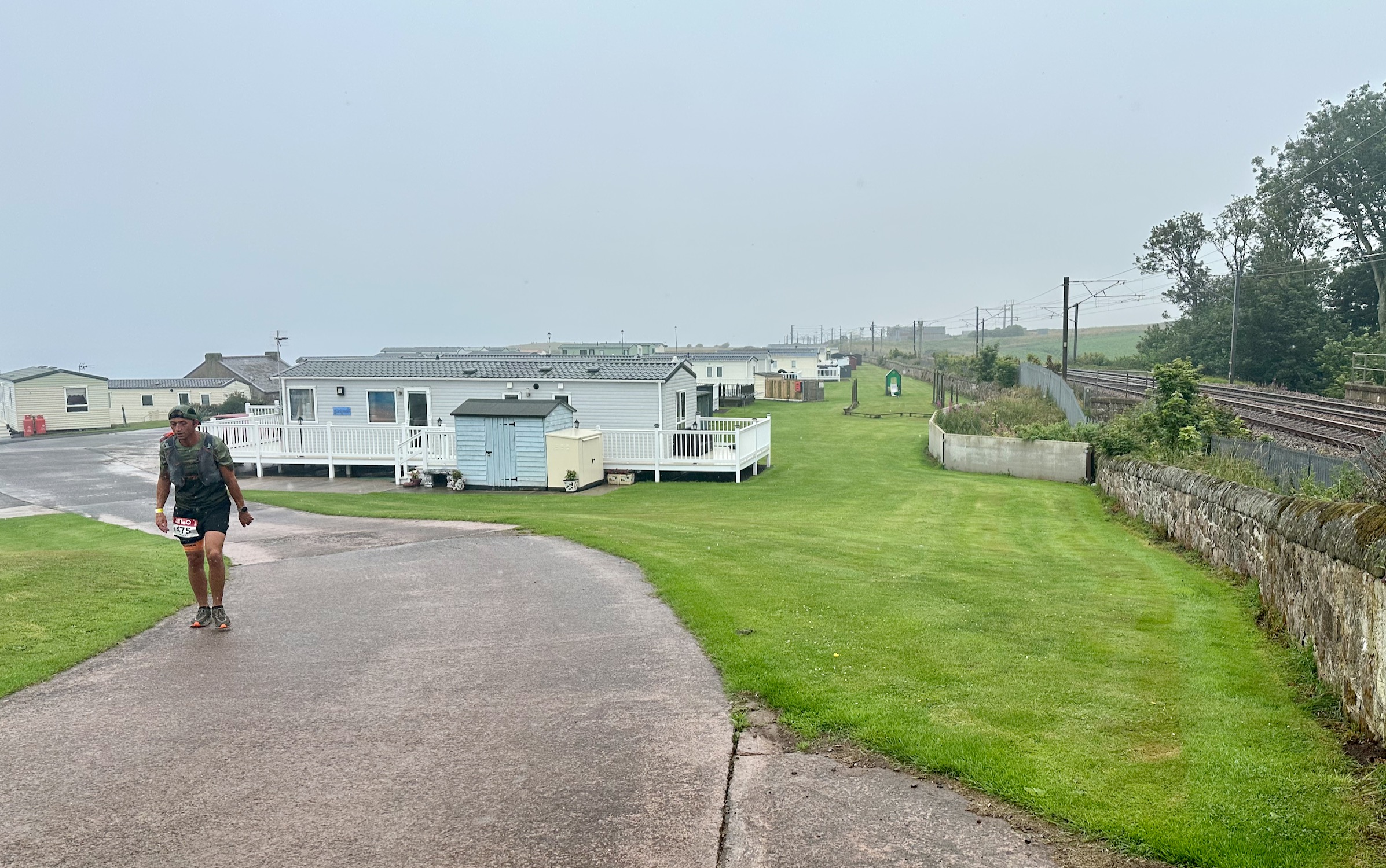
It has been raining all morning but around 1pm it eases off so I pull myself together and head out. Through the eye of the needle and across the corn field, I turn left and continue along the coast path to the caravan site at Marshall Meadows. Turning round to take a photo I see a bedraggled runner walking a little wearily towards me. He is wet and muddy and wears a number on his shorts. I wonder where he has come from and where he’s going to, but all is made clear further up the path.
I am on my own this morning for this short jaunt to Bamburgh. Damian has gone ahead with the car, intending to take a look around the Armstrong Aviation Artefacts Museum in the castle. I set off down towards the beach.
It takes a while to track down a taxi driver who understands where we want to go, but eventually we get lucky – a lovely man from Belford, three miles south west of Ross. The weather is turning and rain clouds are slowly covering up the only patch of blue sky.
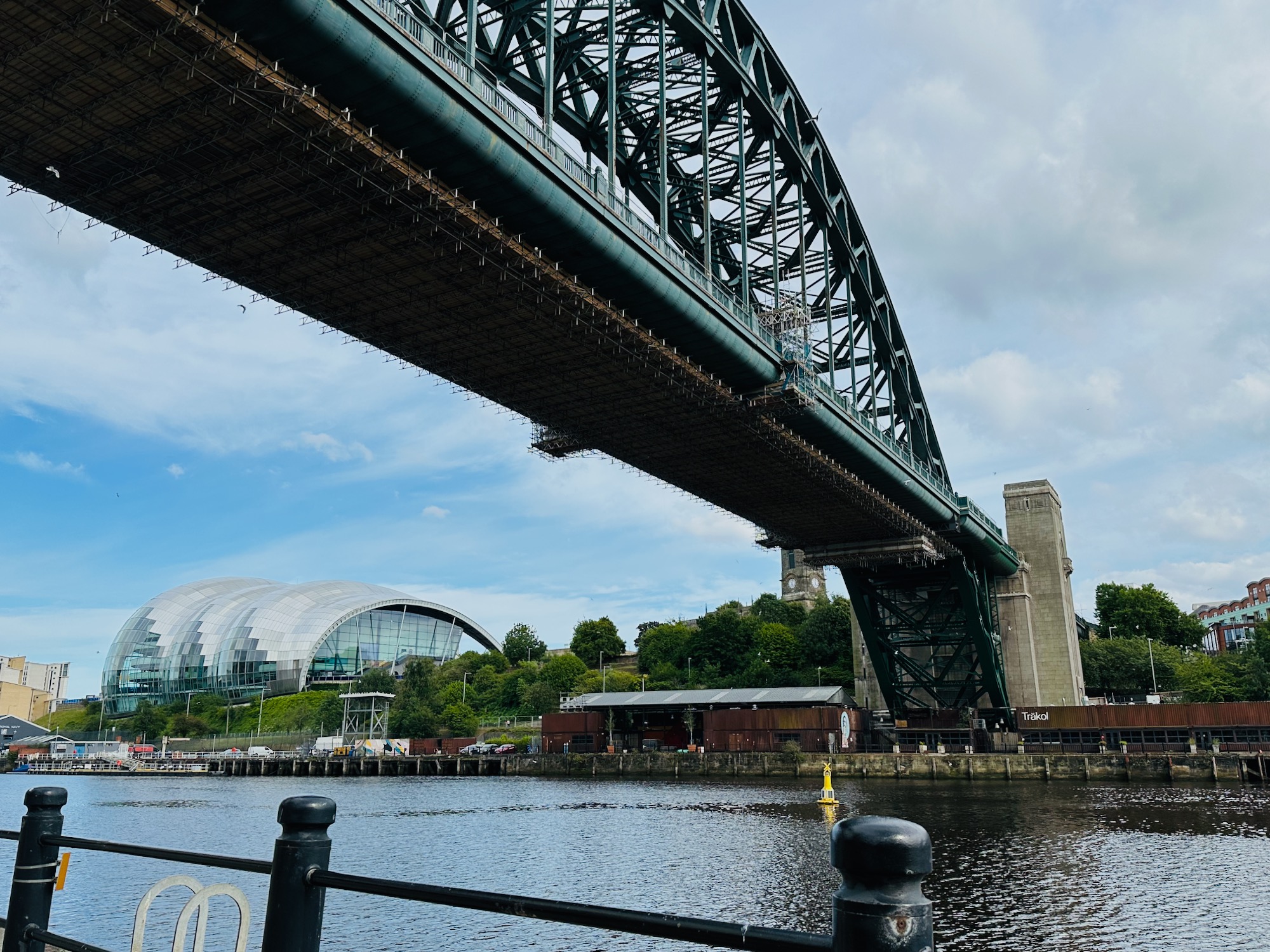
A whistlestop trip to London for Damian leaves me two days in Newcastle on my own – the city is swarming with visitors, but the wonderful Geordie accent is alive and well. I venture out for walks around the city a couple of times, just to stretch my legs. This is easy to do if you’re staying by the river, and need to get to the city centre – VERY steep climbs. My only photos are of two of the seven bridges that cross the Tyne…
Back in Walworth again we cross the road bridge and turn right up St. Oswald’s Way, turning left onto the coast path. For those who don’t know, (myself included), Oswald was the son of the pagan King Æthelfrith of Northumbria. After his father’s death, Oswald and brother were expelled from the kingdom by their wicked uncle and fled to Iona where they were converted to Christianity. On his return, to take back the throne, Oswald was venerated as a saint and introduced Celtic Christian missionaries to his kingdom. The long distance pilgrimage route named after him runs from Hadrian’s Wall to Holy Island Lindisfarne but more on that later.
It is another beautiful day – we walk past the golf course and along the path overlooking the beach.
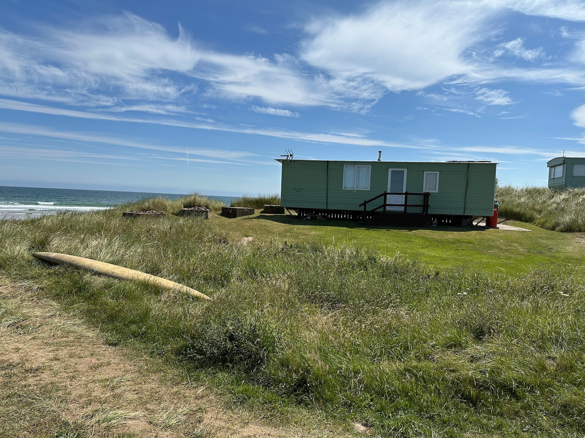
At a place called Northfield a scattering of caravans look out to sea – what a wonderful location.
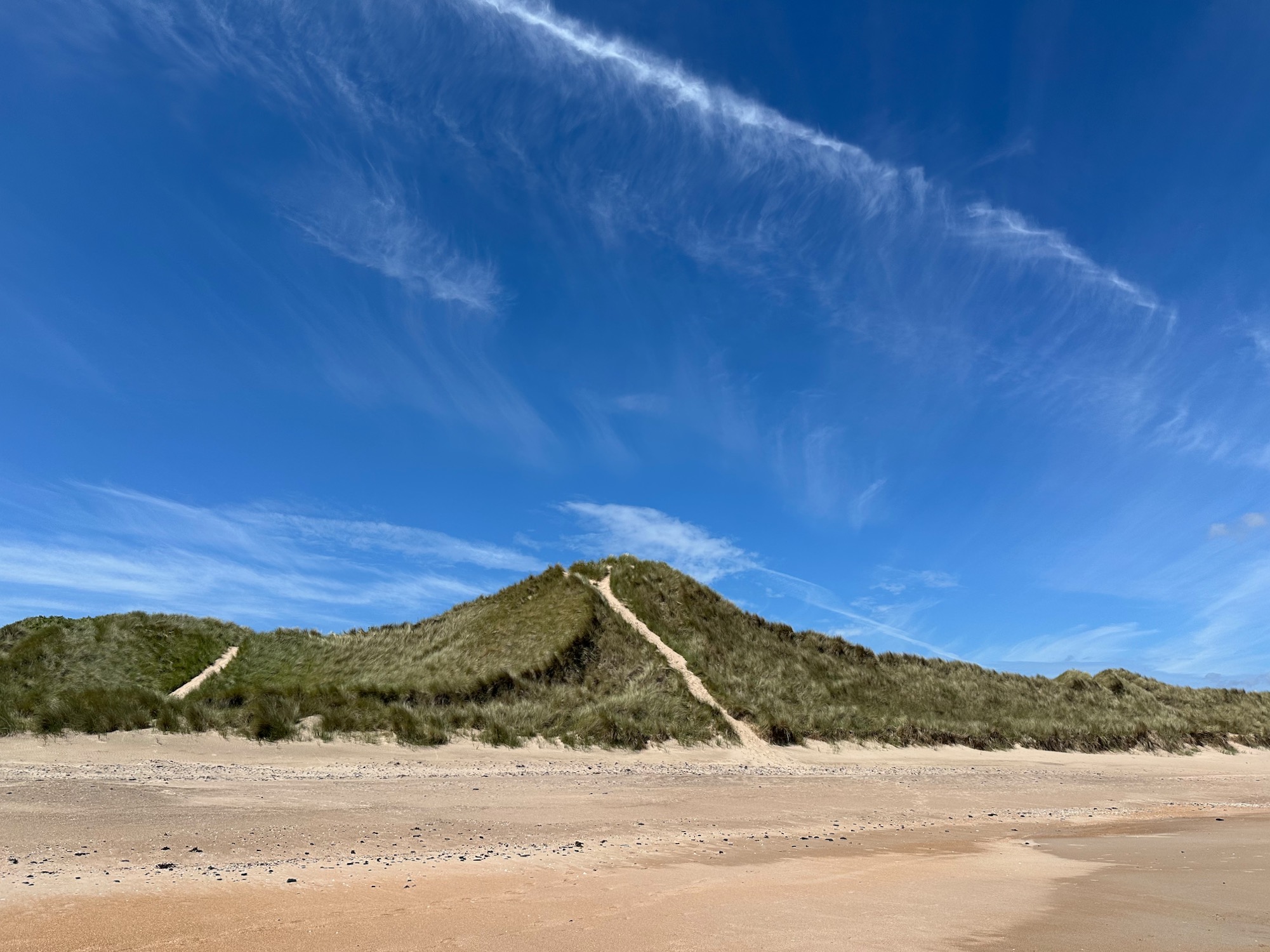
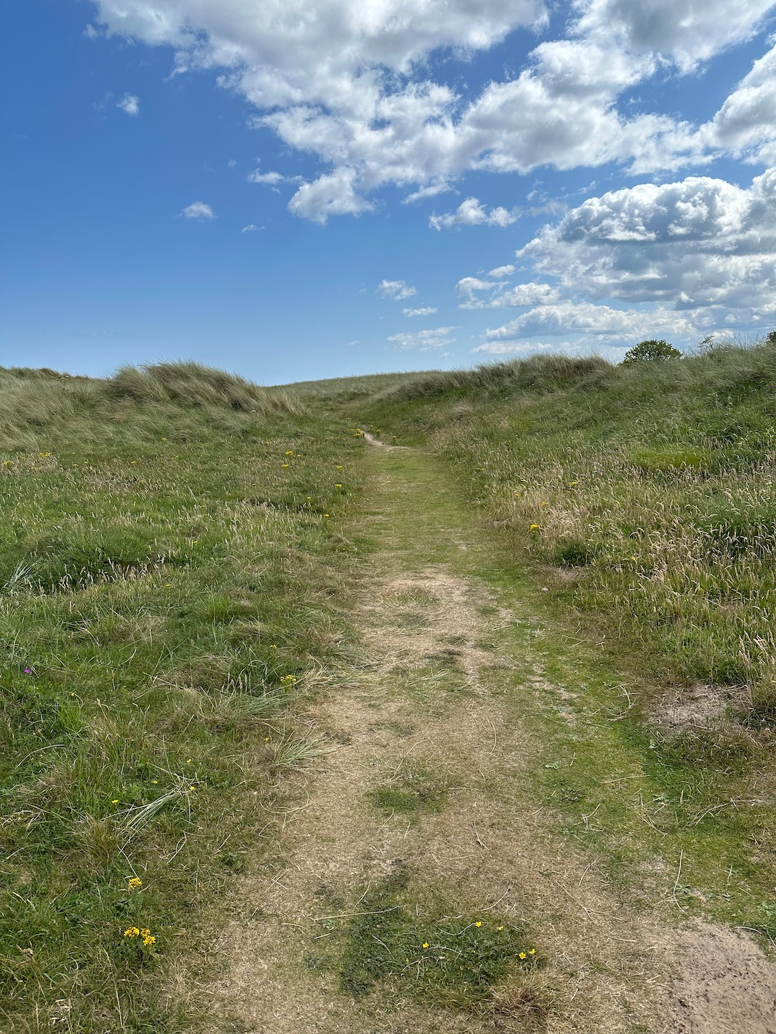
The path now leads us into Almouth Dunes and after a short stretch of trudging through the sand we decide to take to the beach.
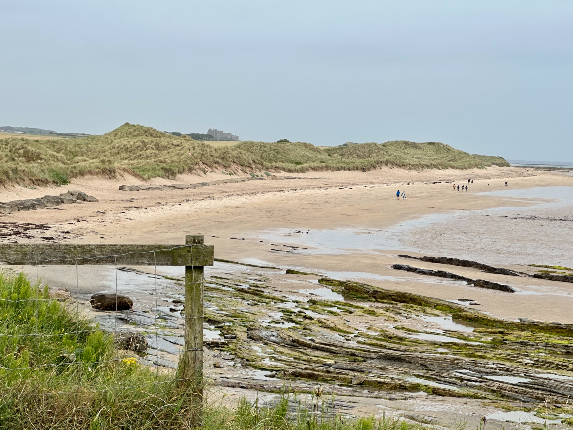
I’m afraid this is yet another image of a pristine sandy beach stretching out as far as the eye can see.
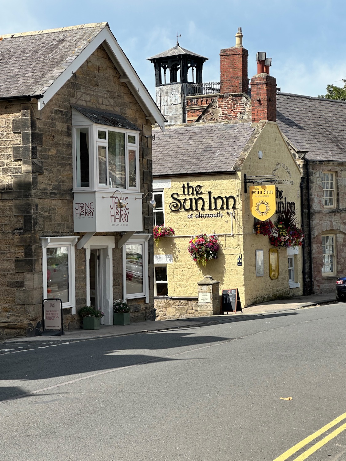
As we approach Alnmouth, we meet a couple coming the other way and I ask whether they have managed to cross the estuary – no is the answer, the tide is coming in. This leaves us with a long hot detour on a cycle route, over a road bridge and eventually into the town.
We pass fields of cows lazing in the sunshine – I envy them.
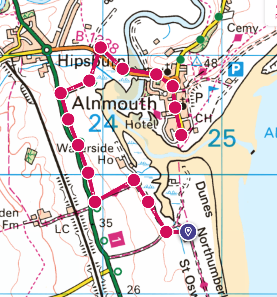
Alnmouth looks pretty but we have lunch and coffee with us so we don’t stop.
Walking up and out of the town I look back to confirm that the estuary crossing is now impossible.
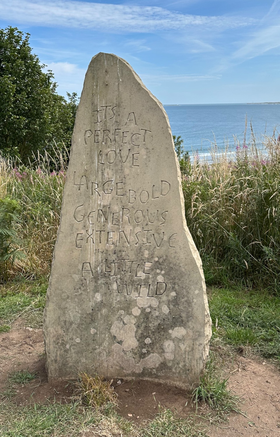
We reach Bracken Hill where a stone has been erected bearing an inscription which is apparently part of a poem by Judith Hill, who lives locally. I agree with it all apart from “extensive” – think I would use “expansive”. Ho hum….
A little further up the trail stands a row of attractive wooden huts/chalets. I would love one of these if we had a garden big enough to put it in. One day….
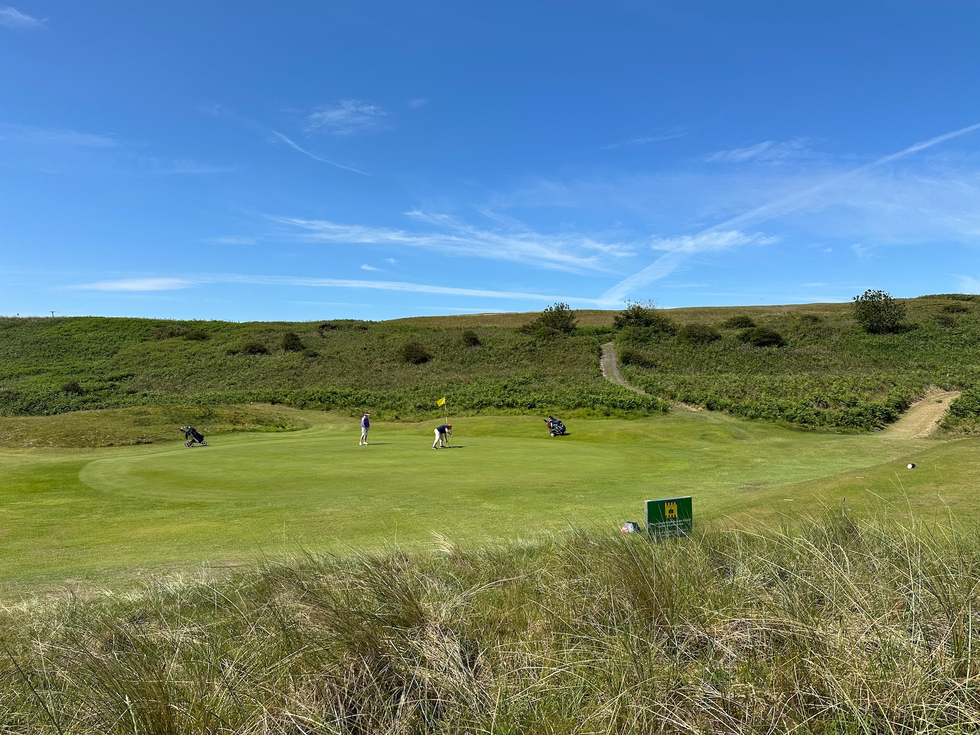
Shortly after we are directed around Alnmouth Golf Club, getting up close to the smartly turned out women golfers – I don’t dare take a photograph. There has been such a surge of interest in golf in my lifetime – it used to be the preferred leisure activity for the wealthy but now it seems to be much more accessible, I can’t see the attraction myself.
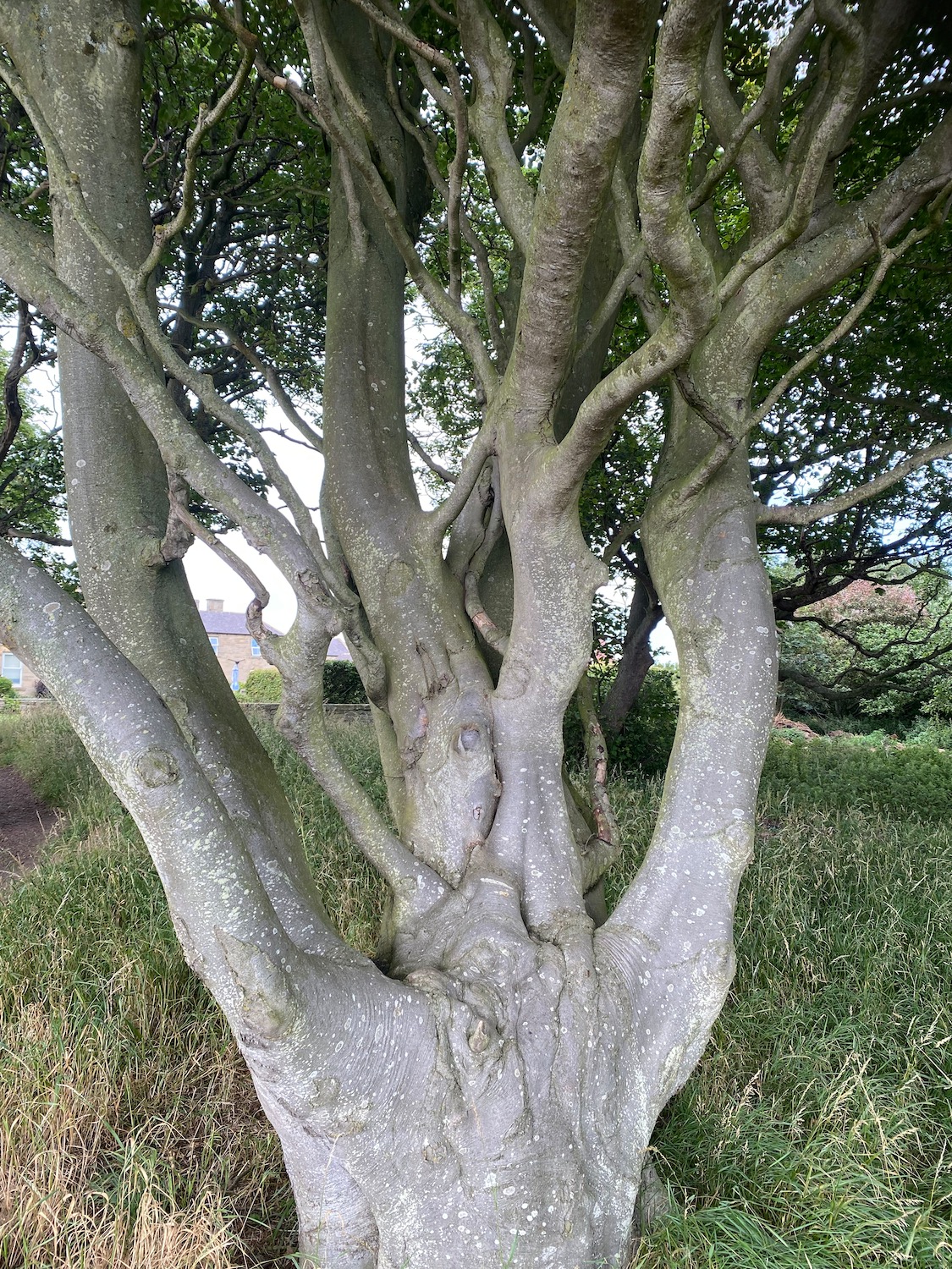
A striking tree stands in the grounds – is it a beech? They usually stand tall and straight but maybe something’s happened to this one.
From here there are not a lot of photos – in fact none. We continue to follow the path, past a caravan site and besides the beach, the sand slowly turning into mud and rock as we approach Boulmer Harbour. The Fishing Boat Inn is the one and only pub in the village and we don’t really fancy it, so from the road outside we phone an Uber to take us back to our car.
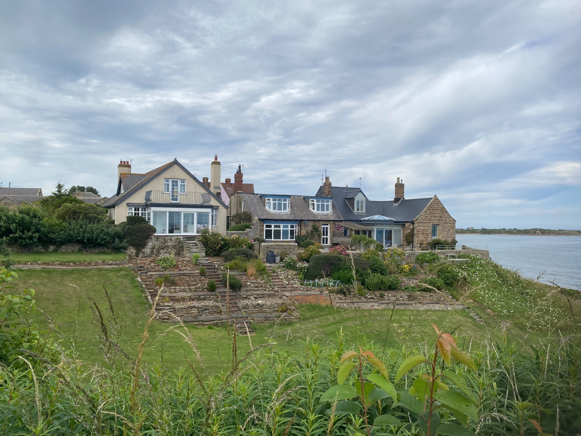
My go to husband models his latest Uniqlo acquisition against the background of the delightful medieval bridge at Warkworth – it makes a change to see him from this angle, rather than his back plus bag disappearing into the distance.
Following the south bank of the River Coquet, which winds its way through the town in a tight loop, we head south – Warkworth Castle looks down on us from its hilltop position on our right. The castle was once the home of Henry Percy the 1st Earl of Northumberland and later his son, also Henry, but nicknamed Harry Hotspur by the Scots for his nippy fighting techniques and enthusiasm in battle. The young Harry was knighted at the tender age of 14 and became the most famous knight of the late fourteenth century – there was apparently a good deal of hero worship.
Further down the road stands a cute wooden shelter with poetry inscribed on the seats inside.
The refections run through the months of the year on the three bench panels – not sure about “lungful heron”.
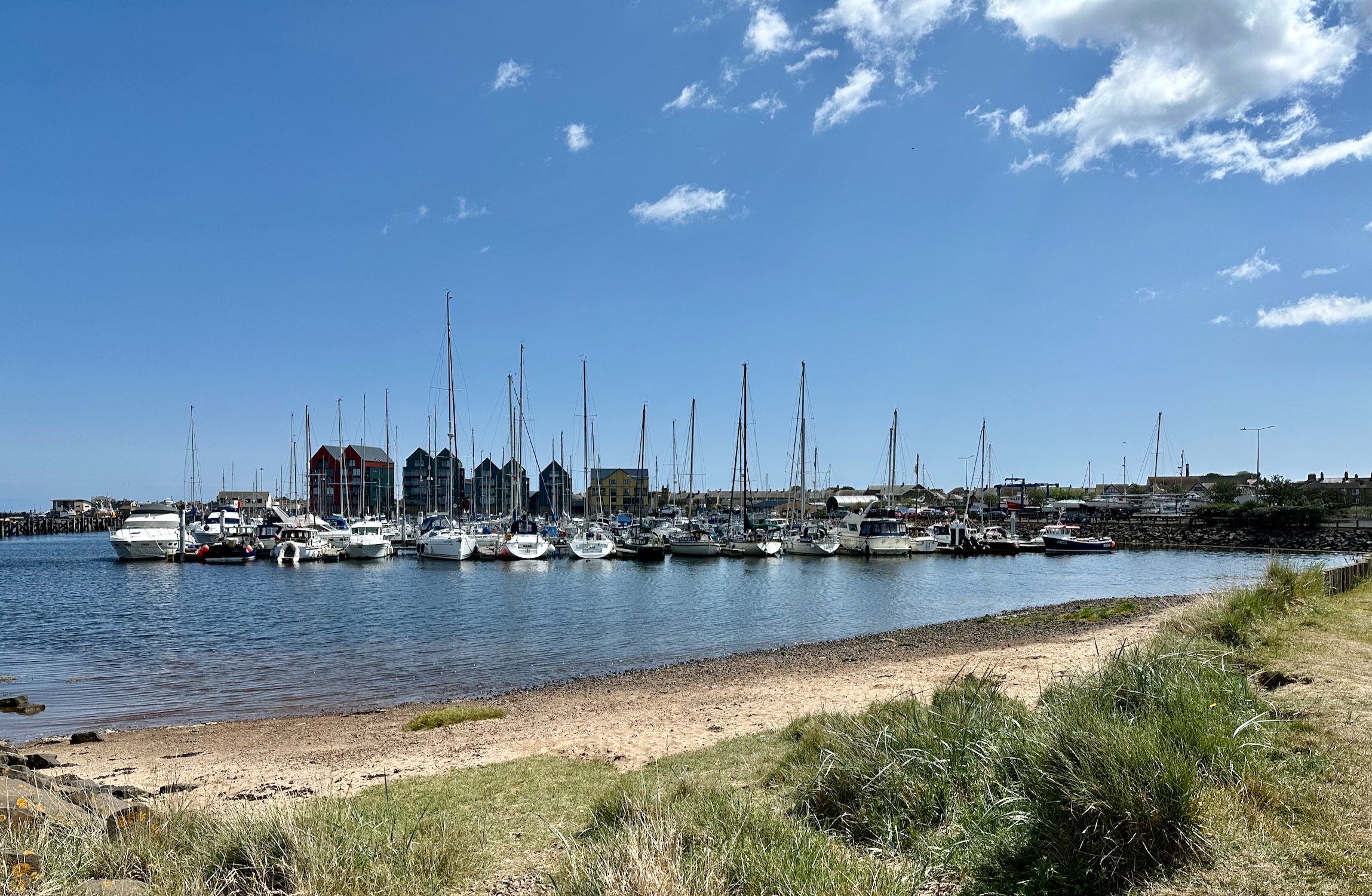
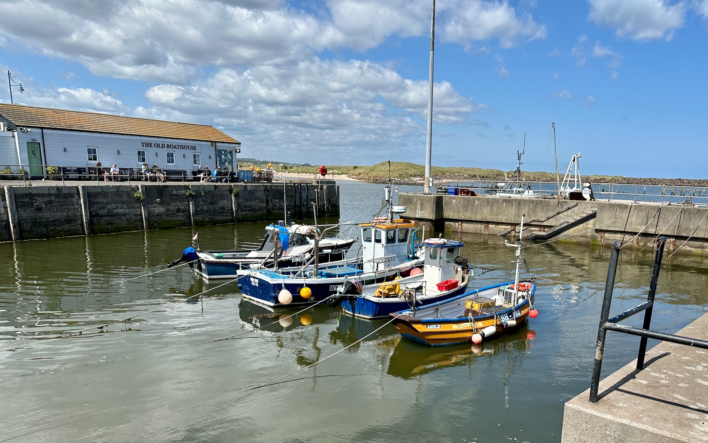
We are now approaching Amble Marina and Warkworth Harbour.
The harbour used to provide for ships exporting coal but when that stopped in the 70’s it turned to fishing, and is now a busy, successful and sustainable port.
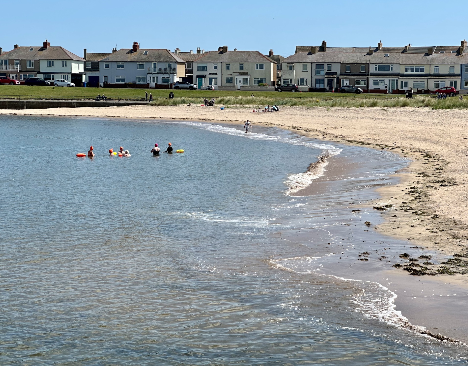
Instead of skirting the beach where a few hardy souls have braved the cold water, the path leads us onto the South Jetty which cuts across the bay on a concrete promenade leading to the lighthouse. Here we can go no further however, so we turn round and follow the promenade again until it tails off and merges with a grassy path through Amble Links and later the dunes of Amble Nature Reserve.
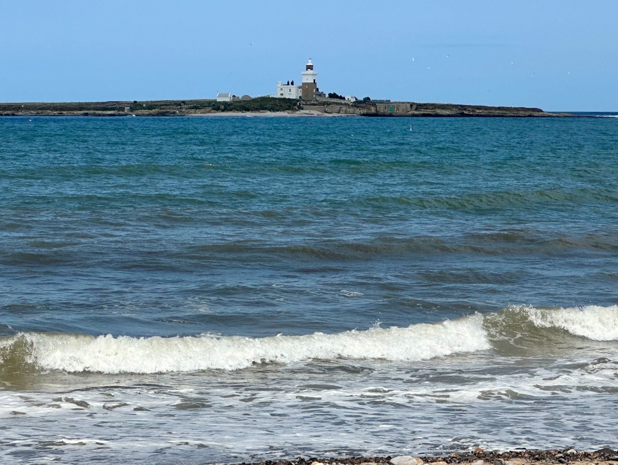
Taking a short rest from the dunes we drop down to the beach – out to sea lies Coquet Island, now a RSPB reserve protecting precious seabirds, the most numerous being puffins. AAH! Did someone say puffin? I have yet to see any apart from one dubious sighting on the Faroe Islands, and have certainly not been anywhere where they supposedly gather around your ankles as you sit admiring the view on some uninhabited island. Coquet Island is not the place of my dreams – no visitors allowed but there is talk of local boat owners offering trips around the island so you see them close up – I wonder.
But we’re not all looking for puffins. In the twelfth century the island had its own hermit – one Henry of Coquet (died 1127), a Dane, presumably a little weary of all the rape and pillage?
On we go, through Hauxley Nature Reserve (there seems to be a lot of nature reserves in Northumberland) – good news.
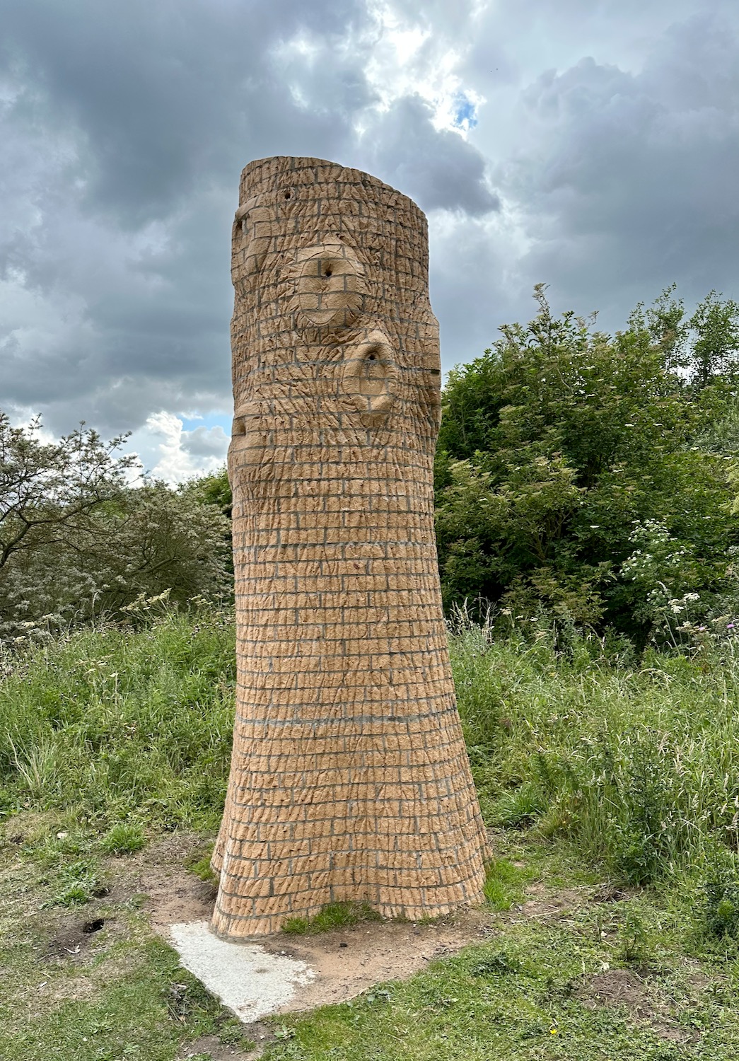
And what is this? No information at all …………….but a Google search comes up with “Nesting Tree” – a sculpture by Rodney Harris. Carved out of local brick it is a reference to the historic forest that once grew in the area and more importantly provides nesting cavities for birds, endangered tree sparrows in particular.
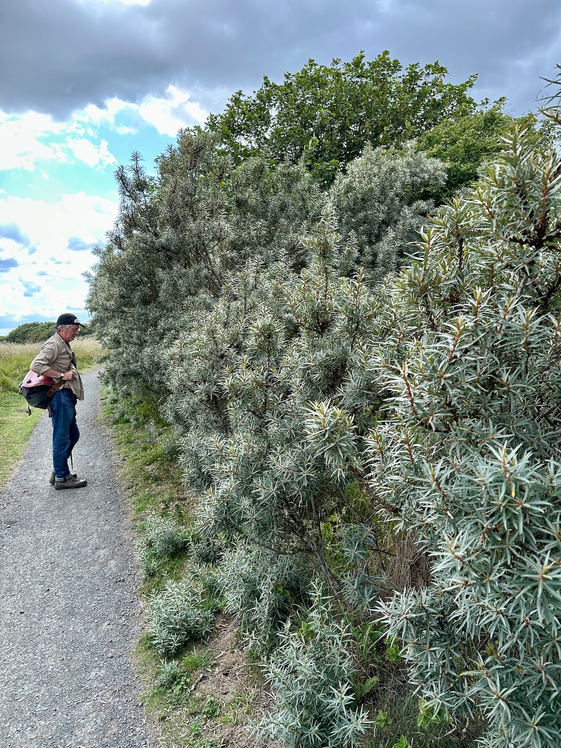
Yes! A thriving spread of buckthorn – a plant I now easily recognise after all this coast walking.
Down on the beach again we encounter a patch of sea coal but now I know what it is I’m not so concerned.
We walk – roughly three miles to go…………..I fall into a meditative trance.
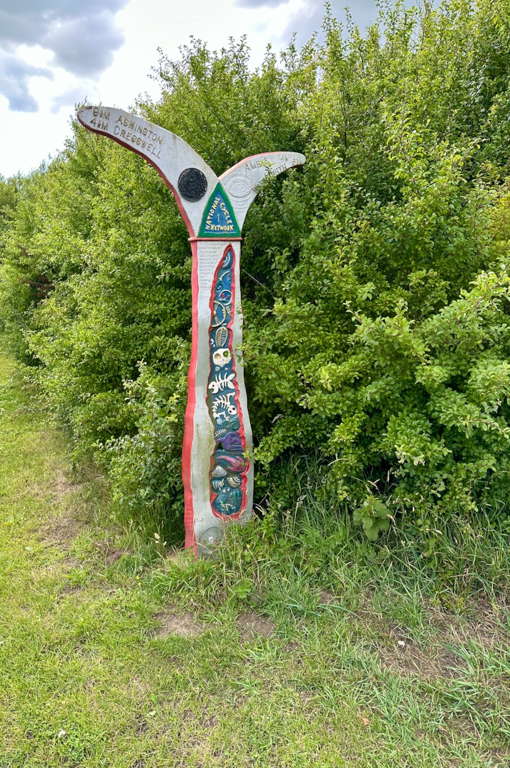
Nearing our destination we rejoin the cycle track and follow a pretty signpost all the way to our car near the carpark at Druridge Bay.
This has been a lovely walk in gorgeous sunshine all the way.
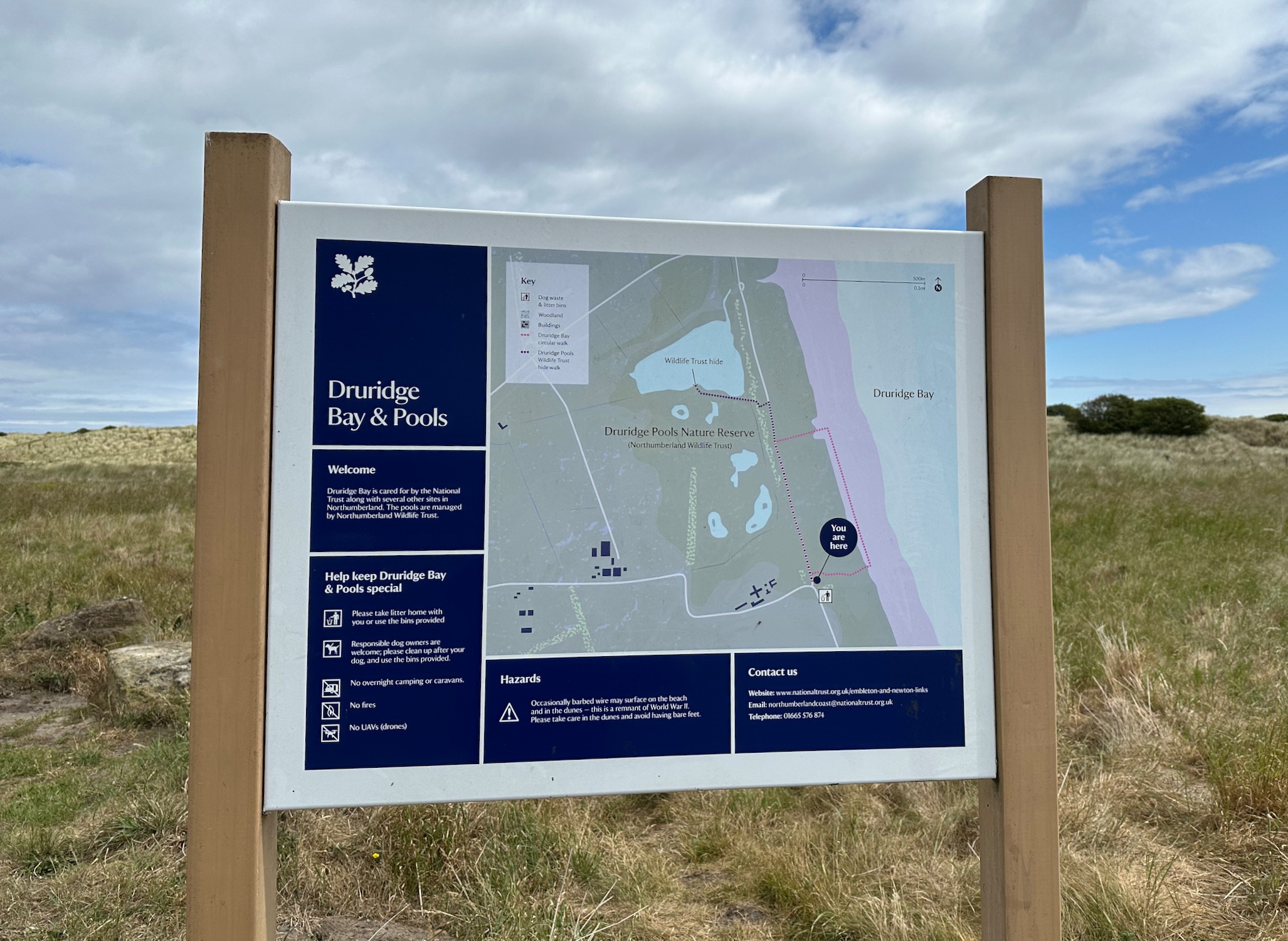
Having identified a carpark roughly eleven miles up the road from Cambois, we start our walk from Druridge Links, an area of grasslands and sand dunes which form part of Druridge Country Park. The weather looks promising….