
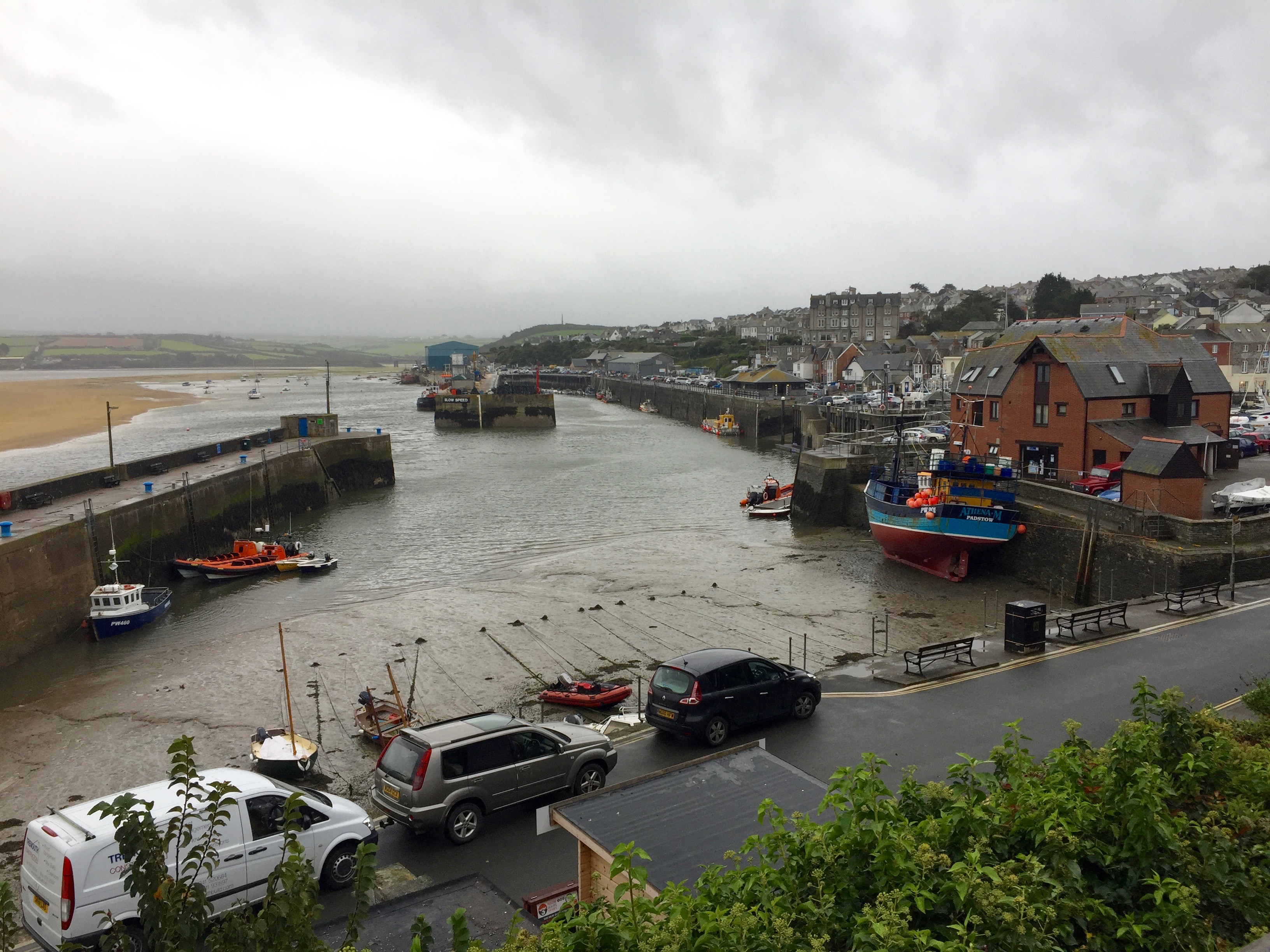
Padstow is gently waking up as I arrive. Stripped of the blanket cover of tourists you can see it for what it is – not Rick Steinsville but a Cornish fishing port.
I stand and wait for the ferry to take me to the other side of the estuary – there is a small patch of blue sky ahead.

………………and here it is………….I love a ferry in the same way I love stepping stones.


On the way across I ask the ferryman about cafes on the other side – he grins and tells me there is one but you’d have to mortgage your house to get breakfast in Rock. I decide to wait for my morning coffee.
On the ferry are a Dutch couple who I chat with for a while. They tell me they come every year to do a section of the South West Coast Path – sleeping in tents. The woman tells me she is suffering from a lack of sleep due to the recent storms and that tonight they are treating themselves to a BnB – hardcore.
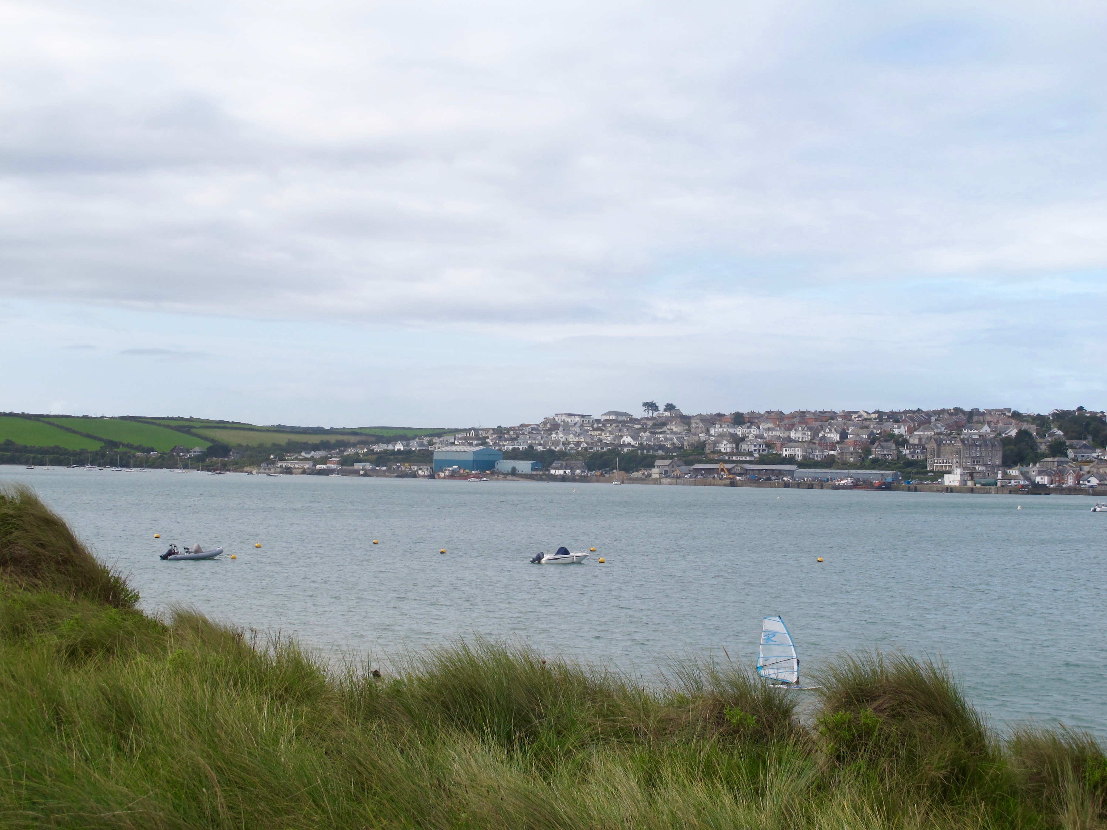
On landing at Rock I set off at a fast pace not wanting to chat all the way to Port Quin but I needn’t have worried. When I look round to take a photo of Padstow I see that the poor woman is struggling to keep up with her partner who keeps having to wait for her.
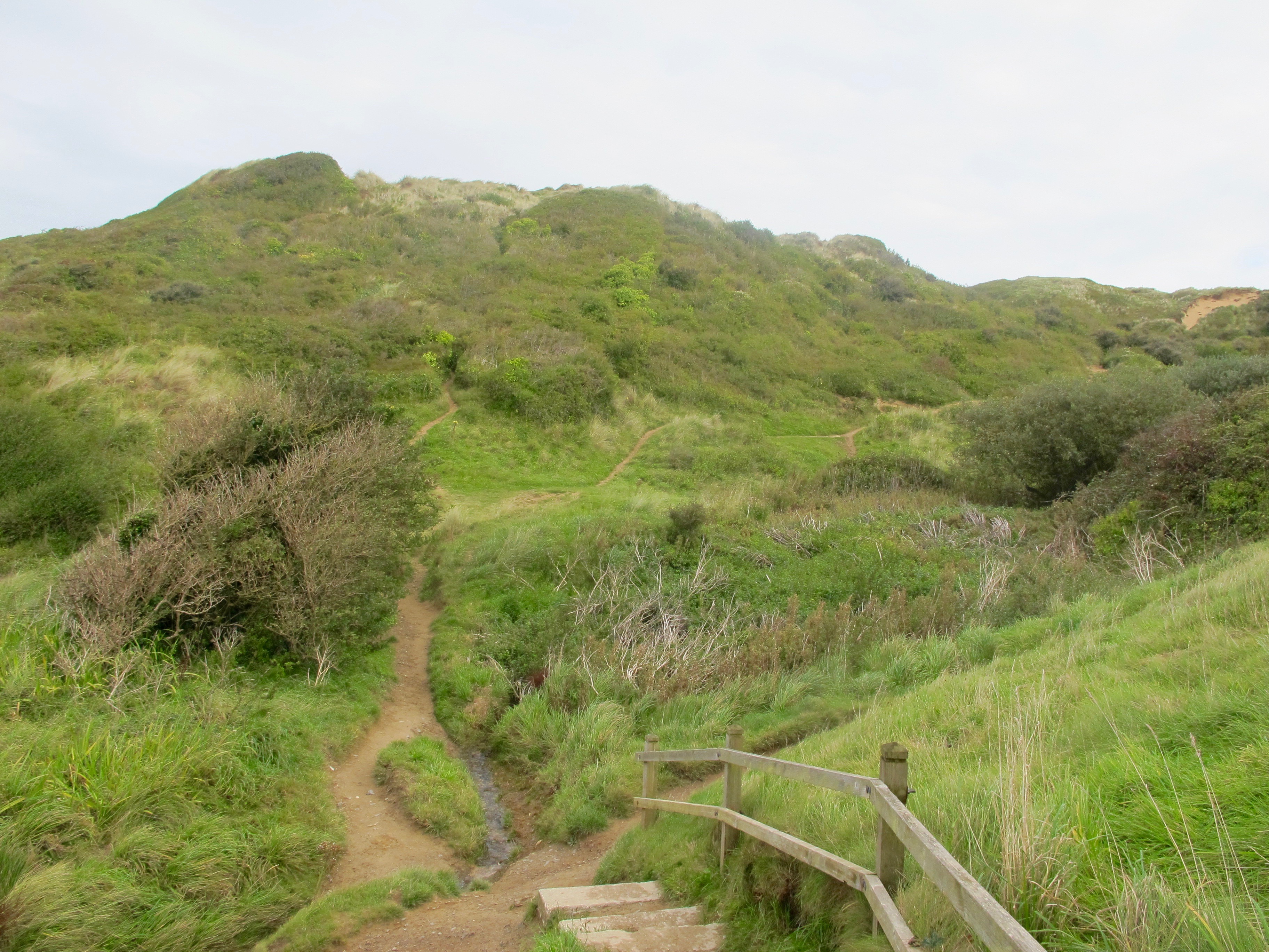
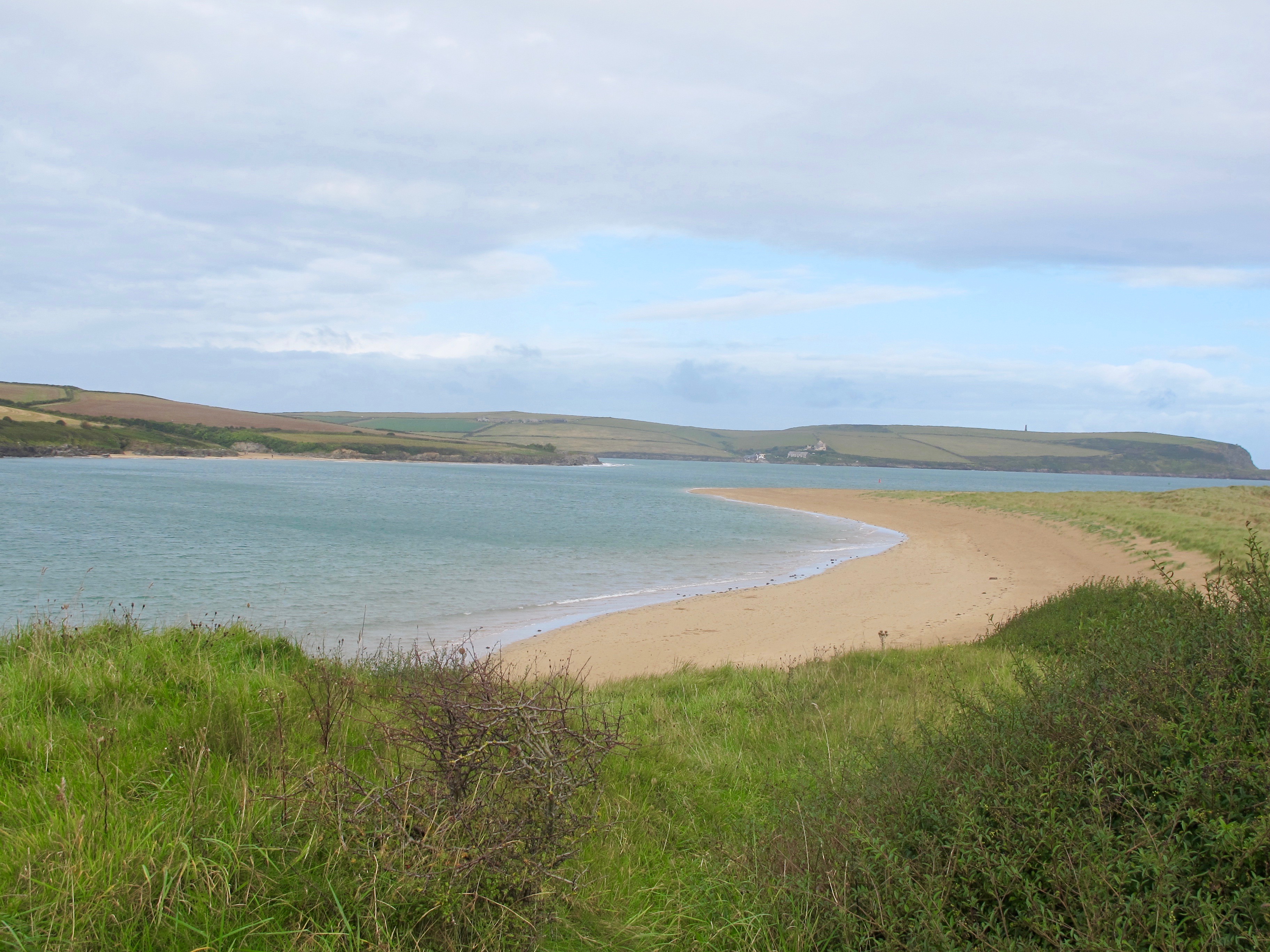
The path from Rock crosses an area of dunes and passes some beautiful stretches of golden sand, which I think was where Damian and I went for a swim many years ago on a weekend break with his sister and husband.

 A piece of beach art catches my eye……………..

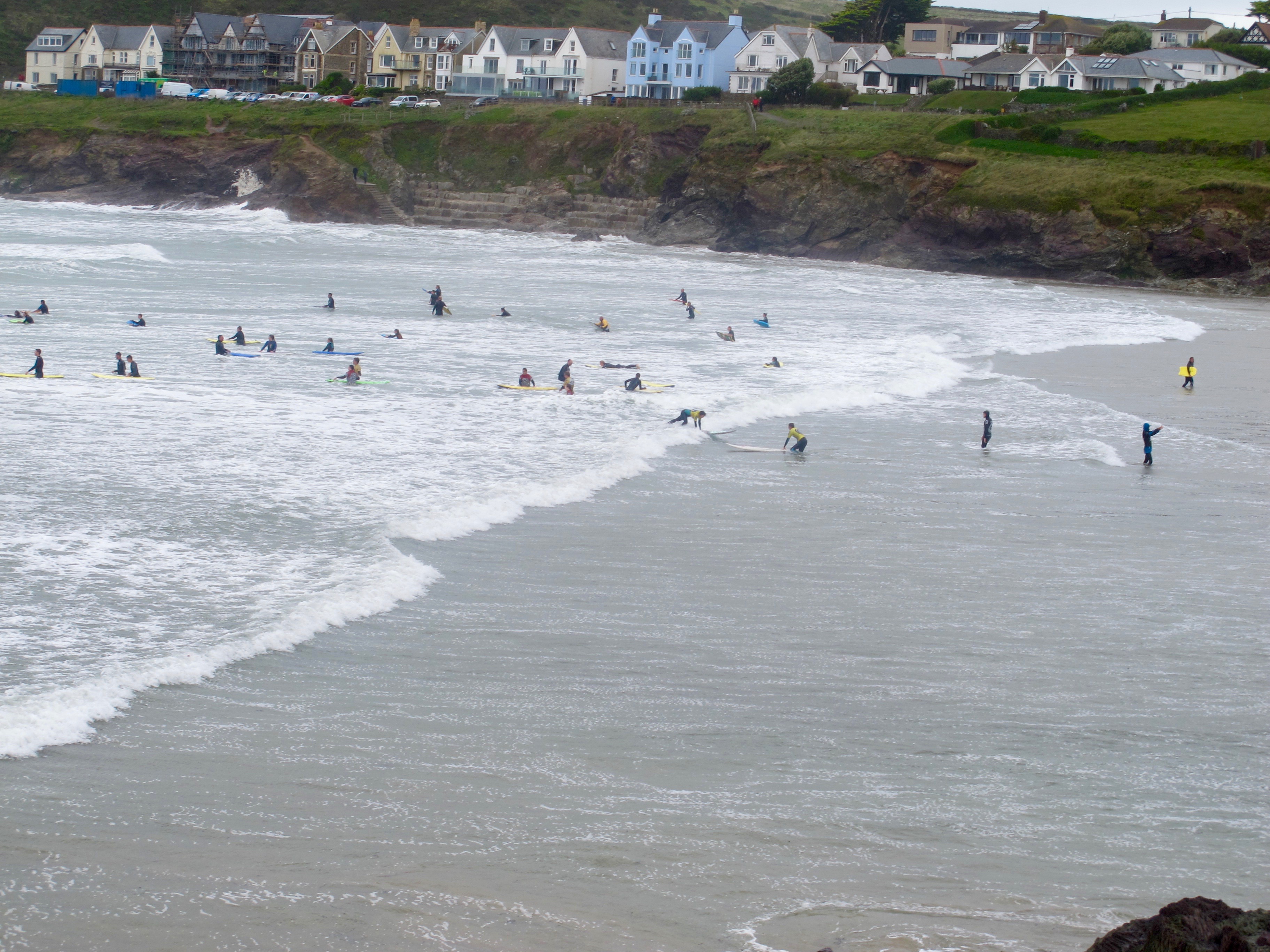
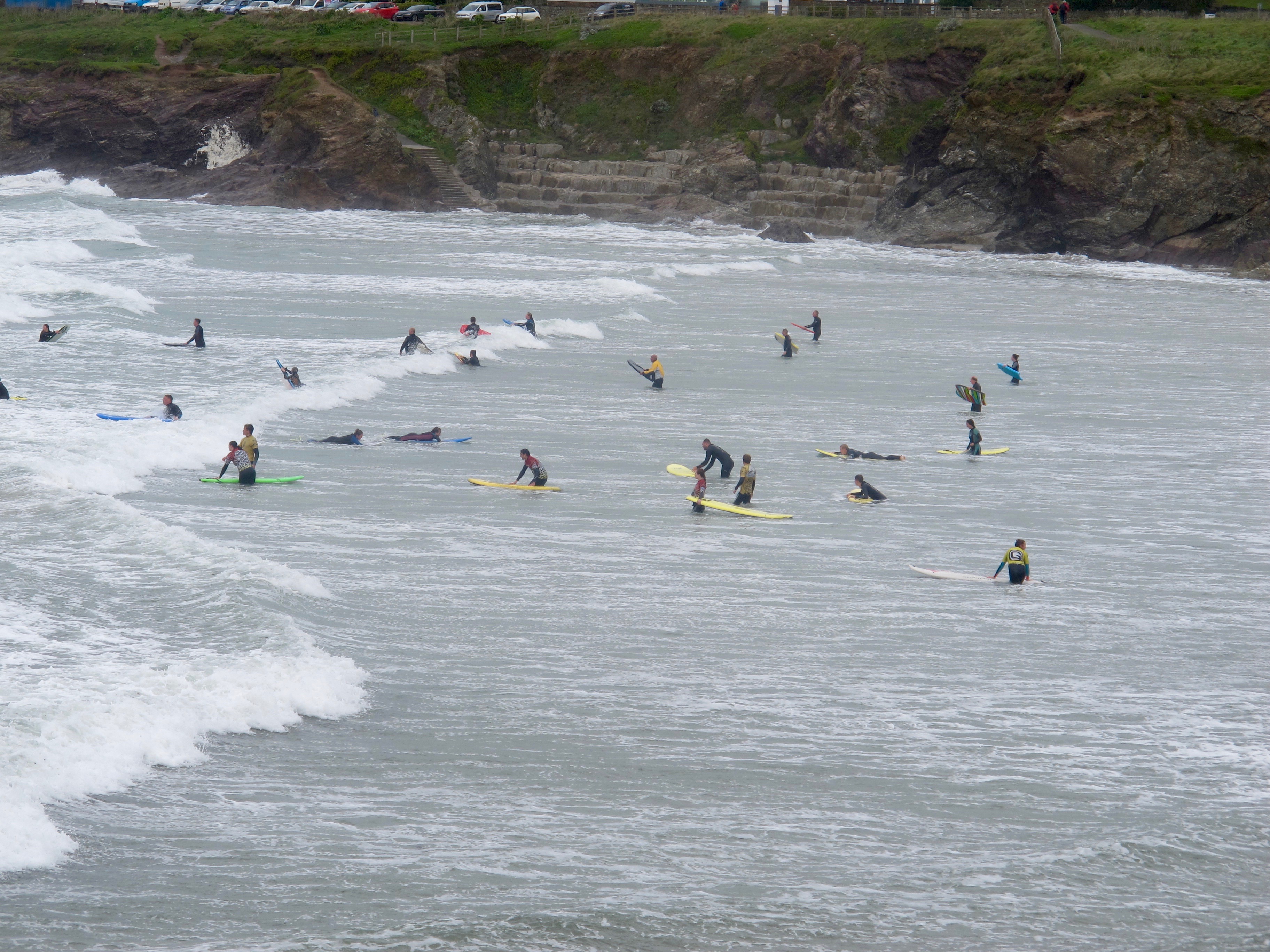
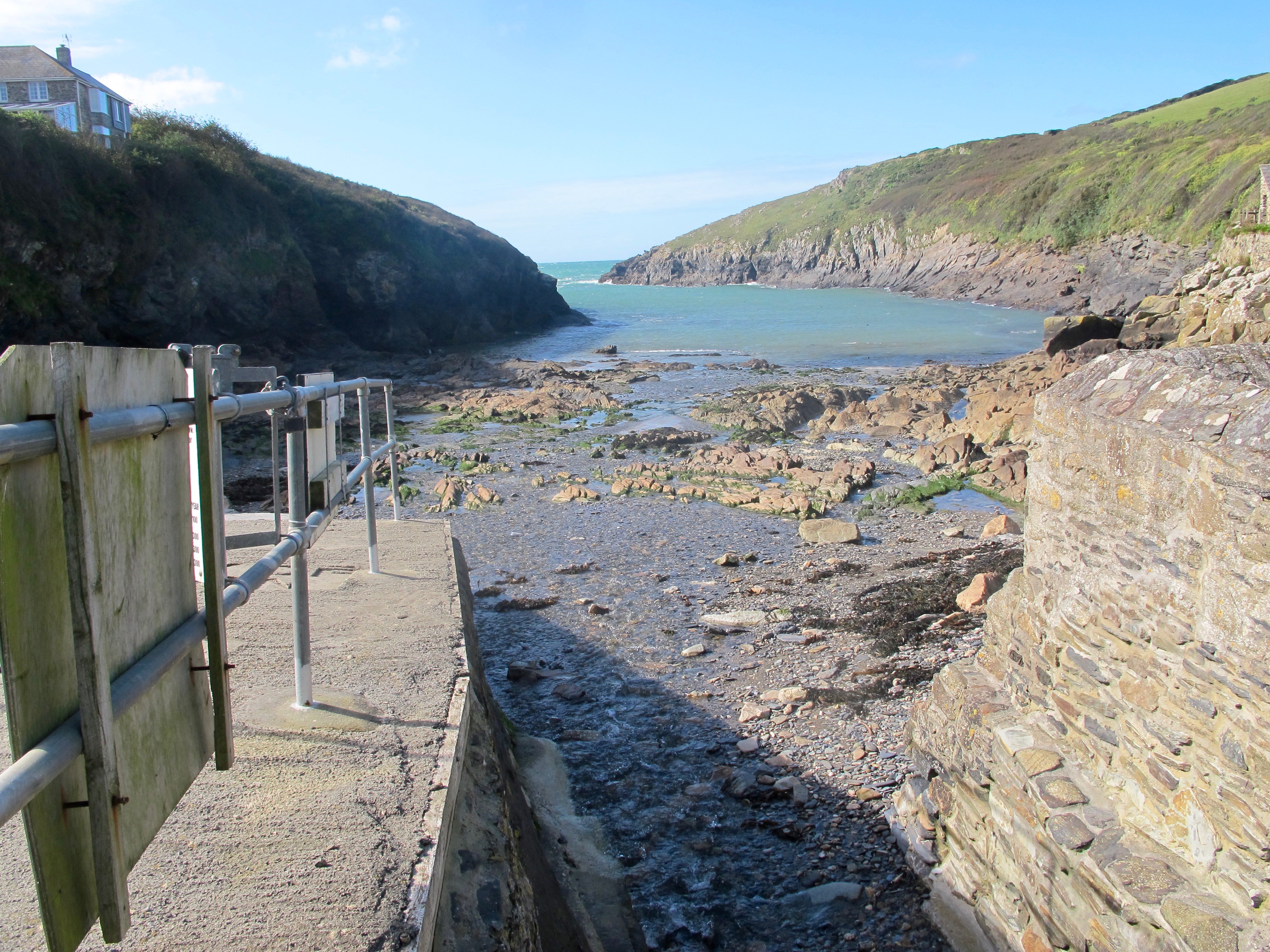
At Trebetherick the shore becomes rocky until I come to Hayle Bay, the surfing beach at Polzeath. I do wish surfing had been part of my childhood, although I hate to say it I think I may be too old to learn now.
Here, I find myself a cup of coffee and bun which will help me on my way up to Pentire Point and around the headland.
Walking out of Hayle Bay I pass a patch of succulent plants that I recognise from a visit to the coast of Portugal. Anybody recognise them?

It is a lovely walk up and around the headland and down along the edge of Port Quin Bay.

Rumps Point with its spiky spine stretches out into the sea……………………………

A mile to two later I come to what the map calls Lundy Hole, where a narrow wooden bridge has been constructed to take walkers over a steep ravine into which the waves heave and smack against the rocks.


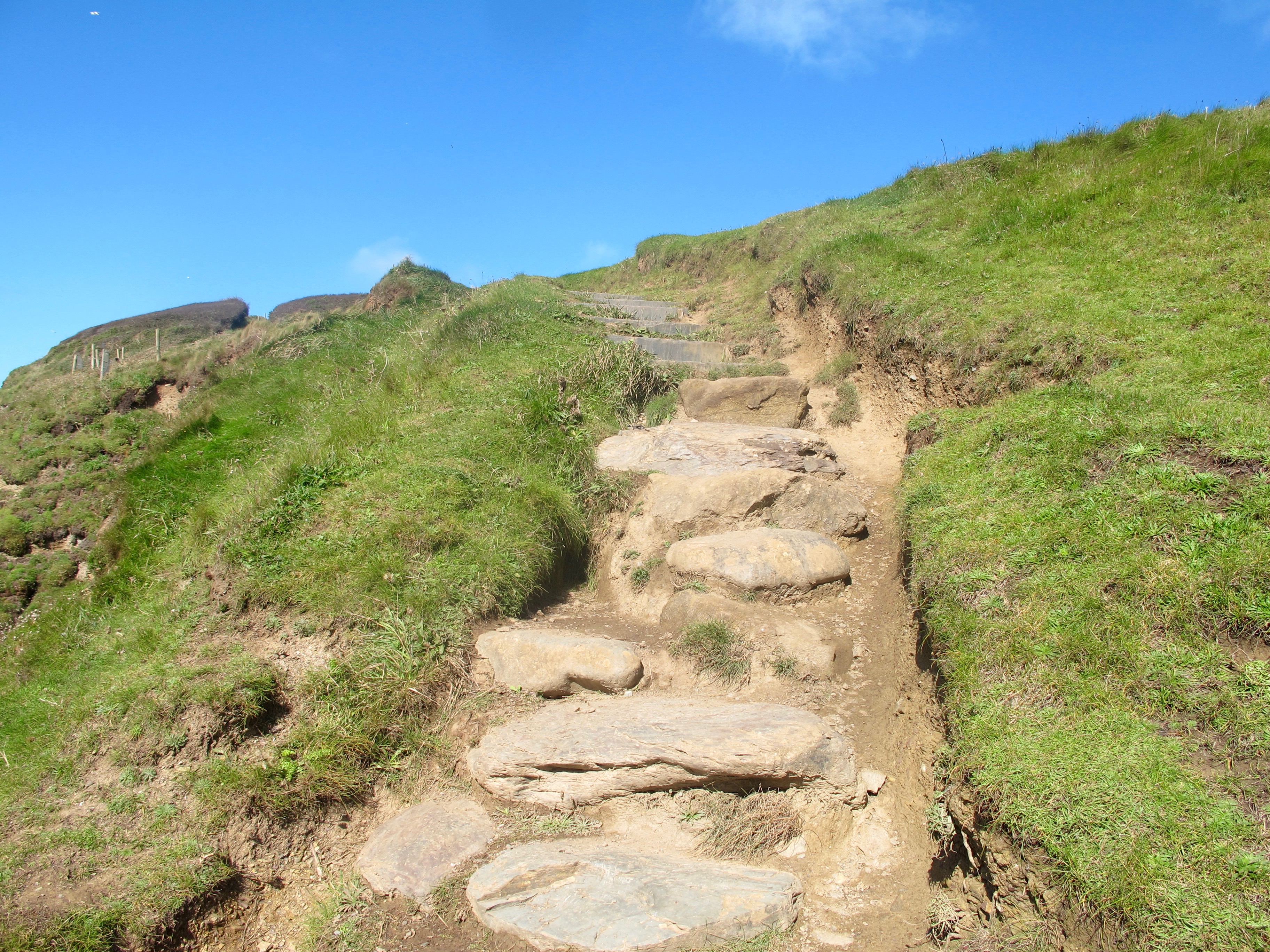
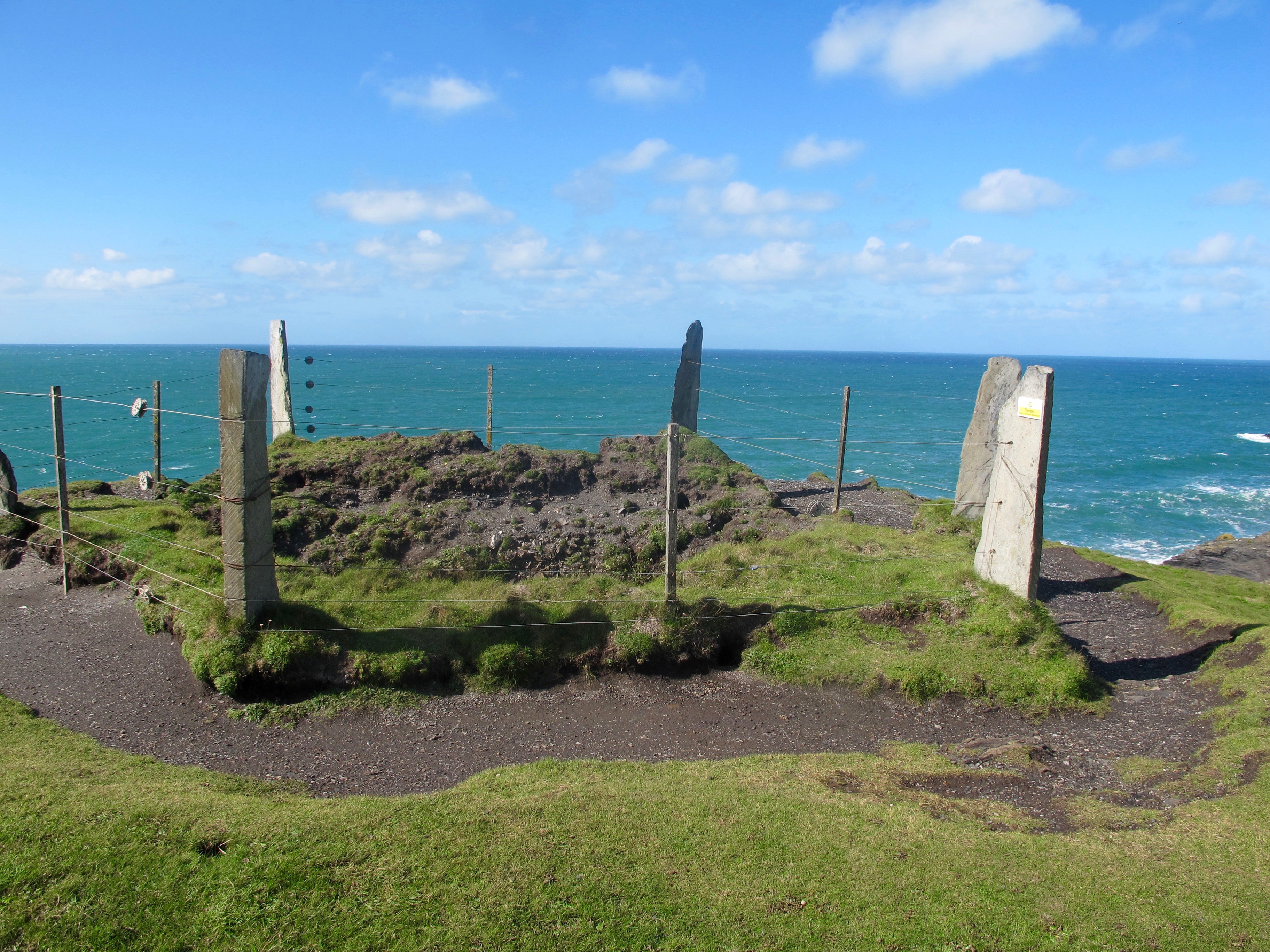
The path now becomes a little more challenging, steep and uneven, I walk past disused mining shafts, fenced in with flat stones – they look a little mystical.
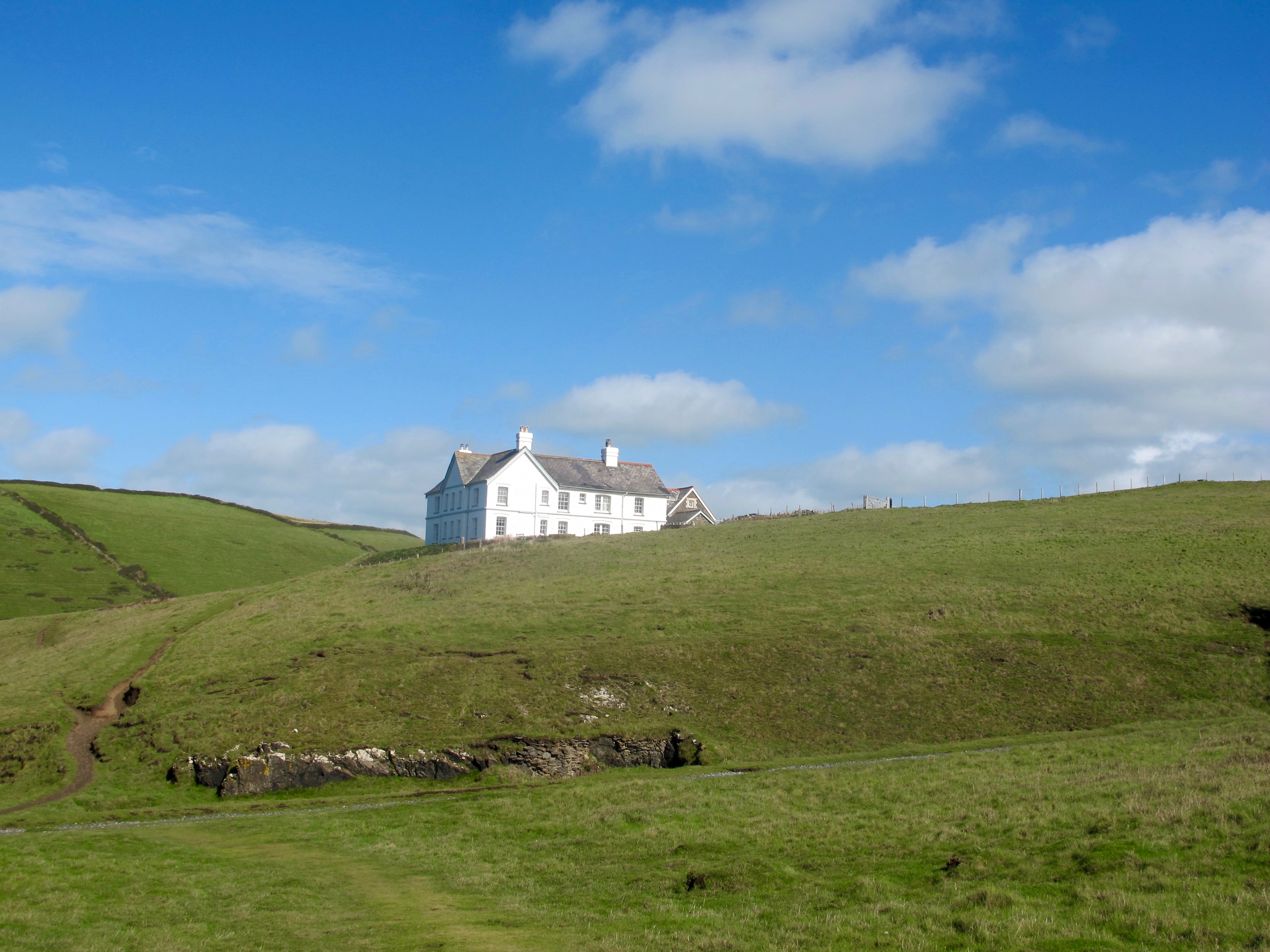
I am now heading for Doydon Point where the landscape opens up to a wide stretch of green, overlooked by a grand house.
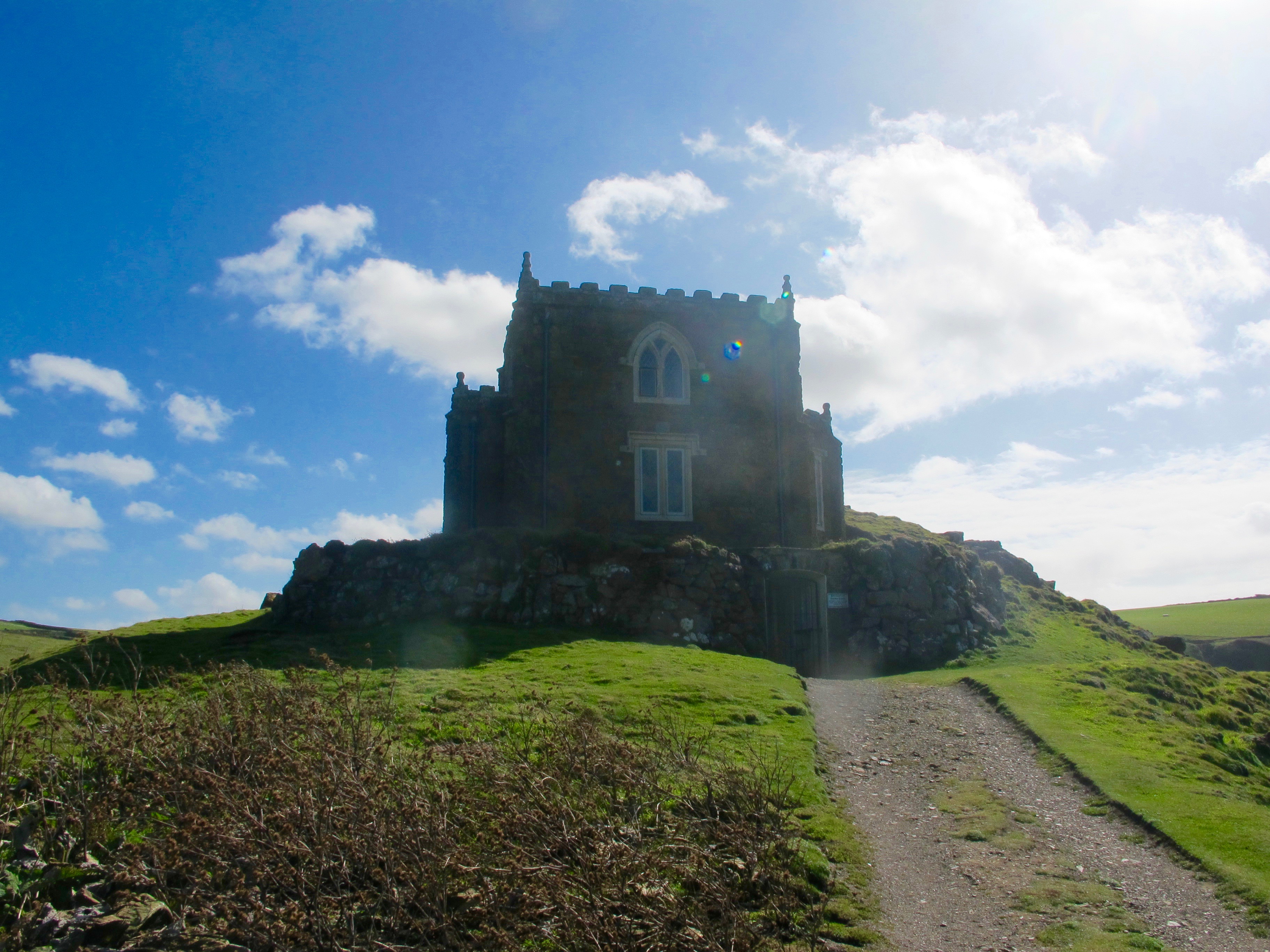
And opposite the house, perched on the cliff is what looks a little castle – even though I have to leave the path to investigate I am curious as what it might be.
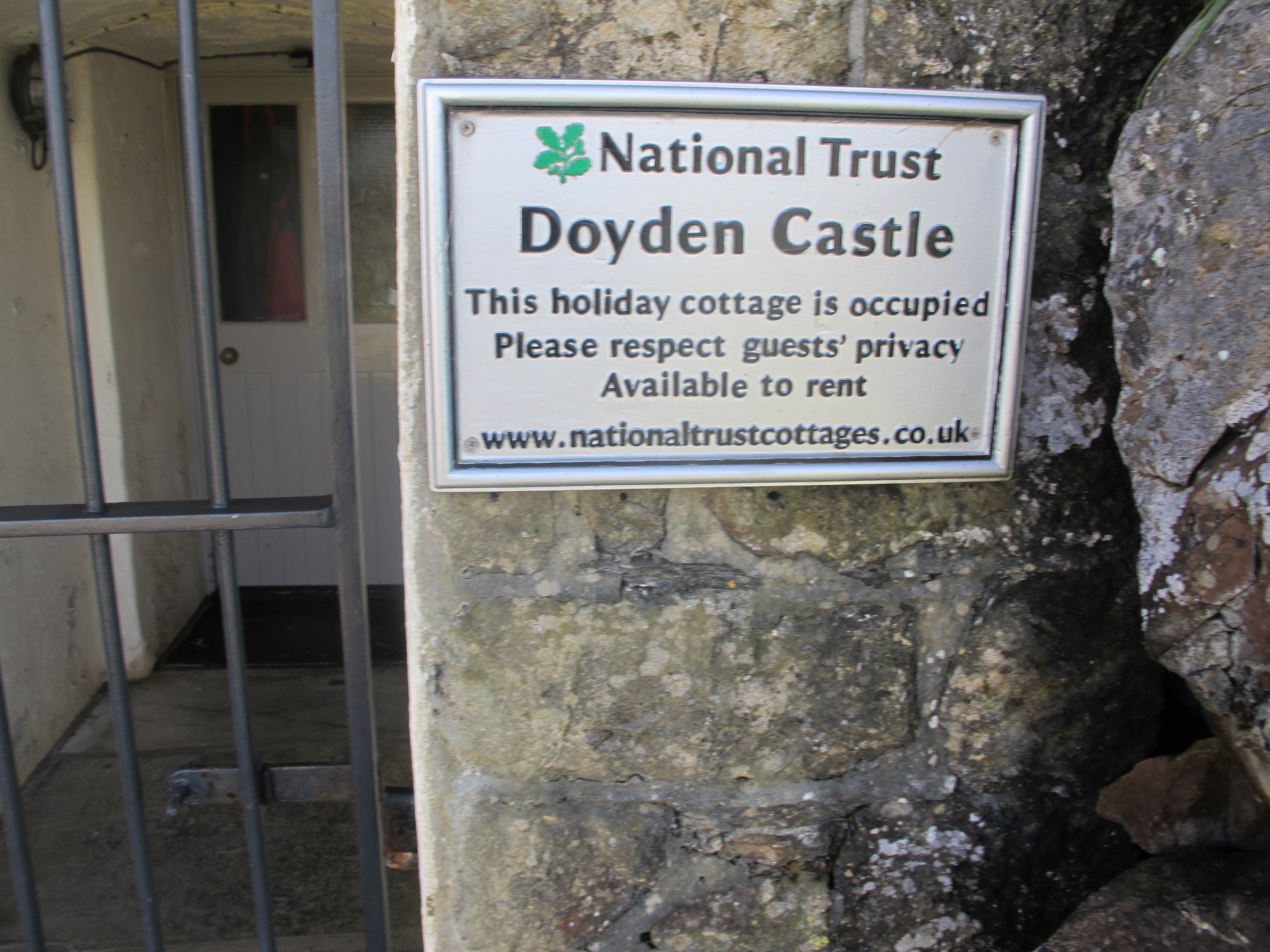
This is Doydon Castle, which is locked and let out for short term breaks. It is a very isolated spot, and taking the full brunt of the strong wind from the sea. You would have to stock up well, there is no twenty four hour corner shop.
By the way, the coloured bubbles from the top window are just reflections on the camera lens – quite pretty though.
From here it looks like there are two paths to Port Quin – I take the low road which winds down, joins the high road and follows the bank of the inlet down into the hamlet. There is no refreshment to be had here and I am now quite hungry. There is also no phone signal – what to do? Keep walking.
The next three miles are quite strenuous and I have very little energy left. In desperation I search all the small corners of my rucksack and find a small wrapped biscuit which must have been an unwanted accompaniment to a coffee in a more satiated moment – I gobble it down.
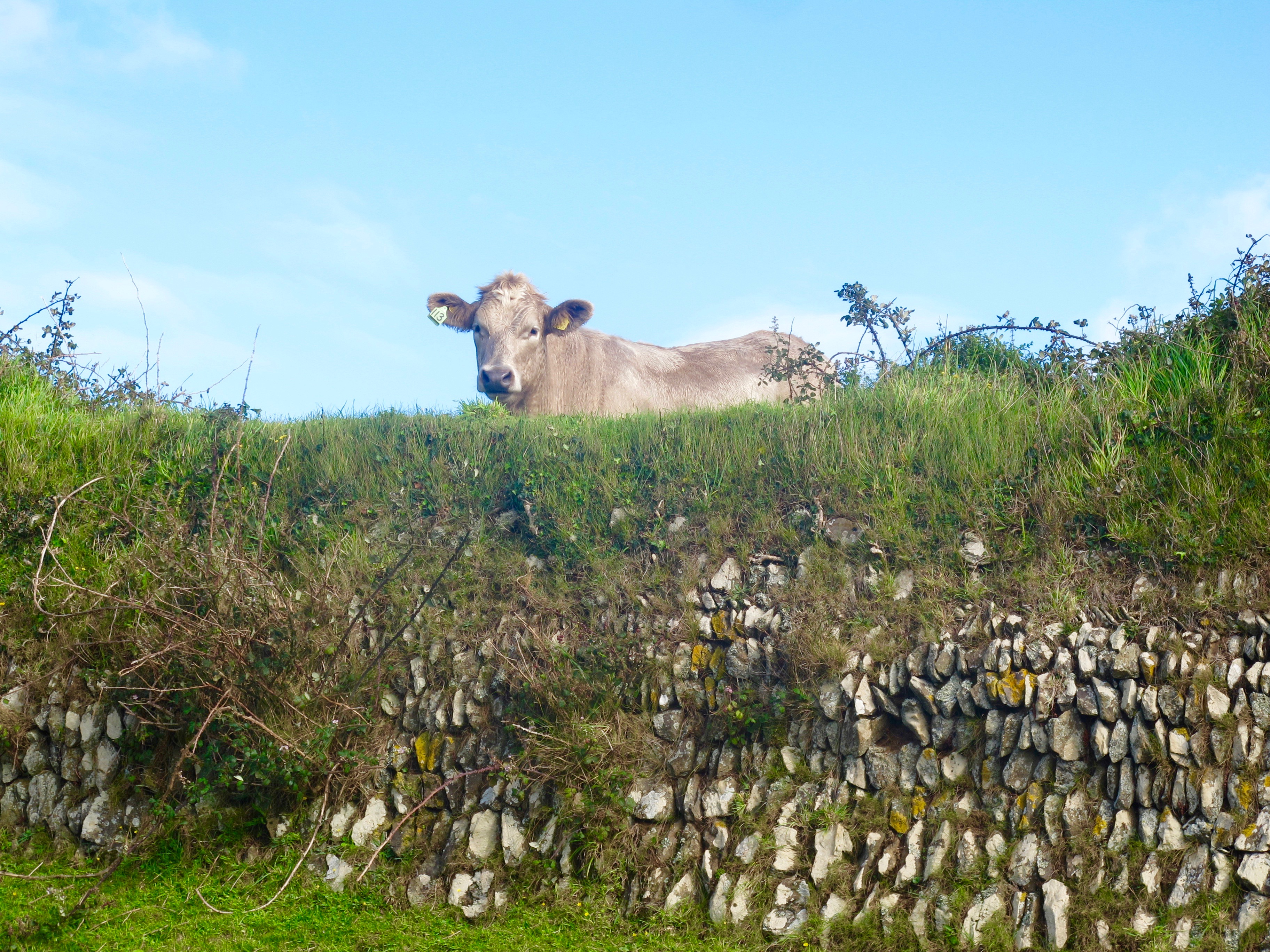
This lovely little calf is unfazed by my pitiful condition………………..
And at last I top the last hill and look down on the Garden of Eden ………………….
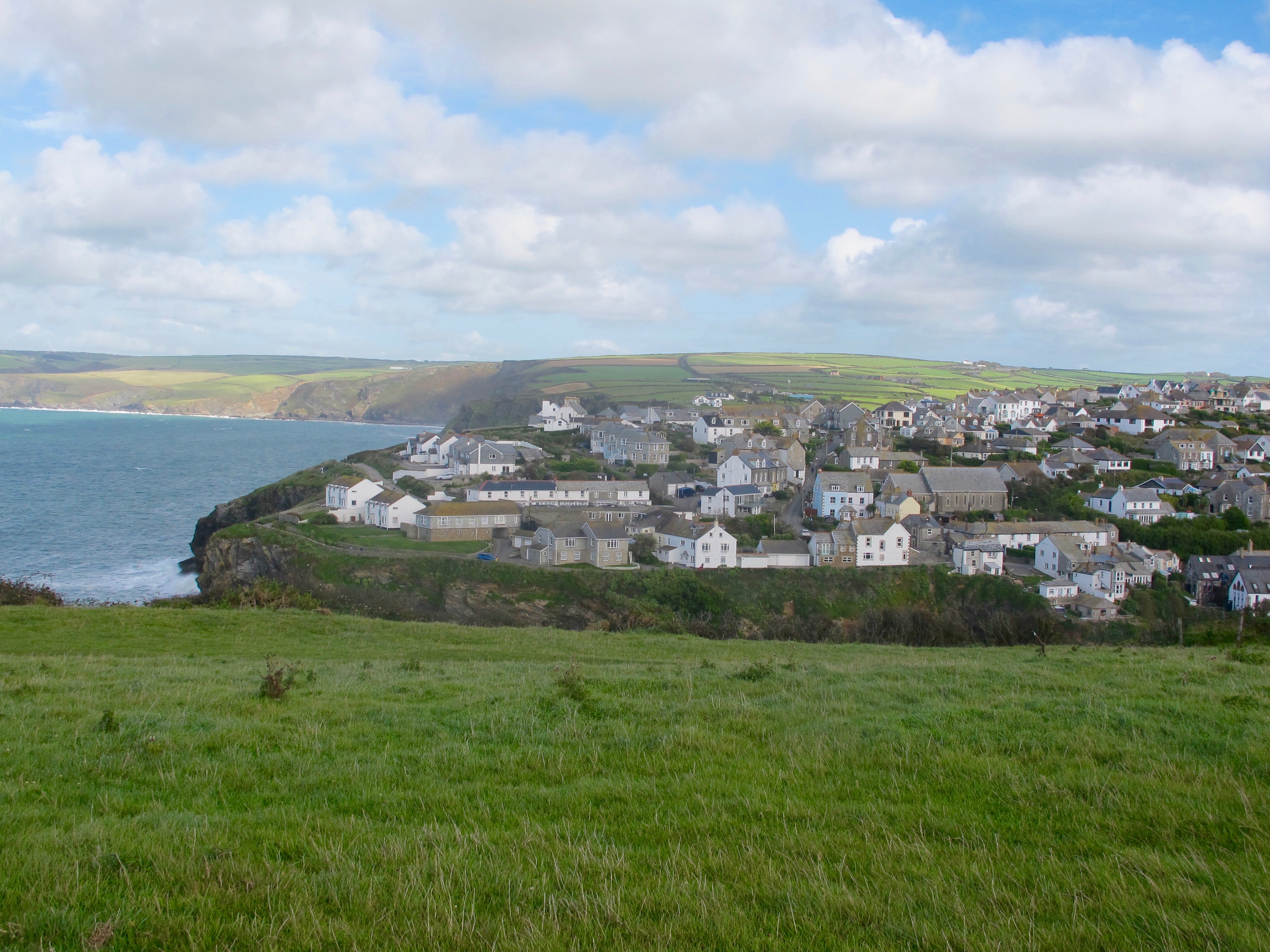
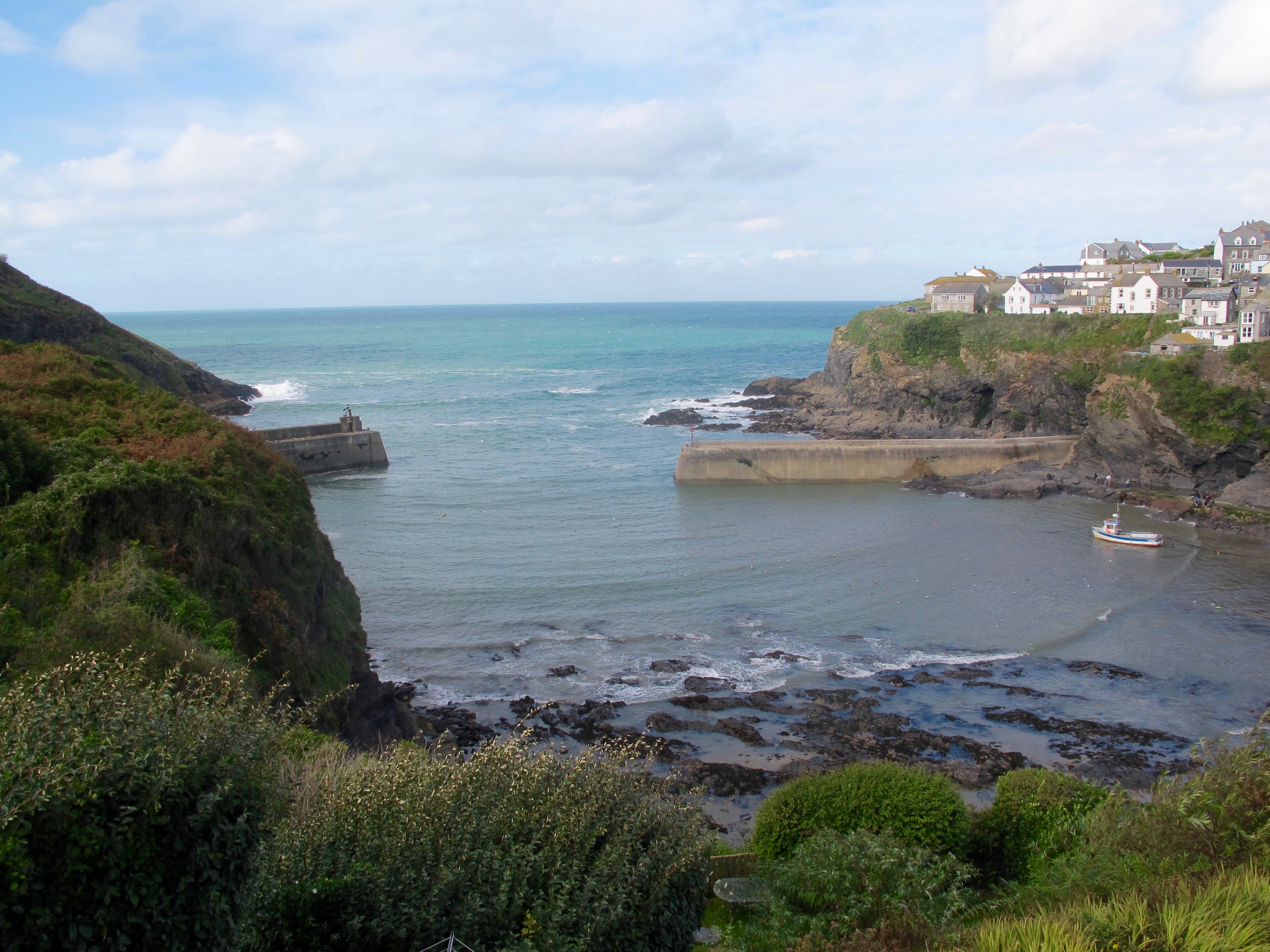
Port Isaac…..

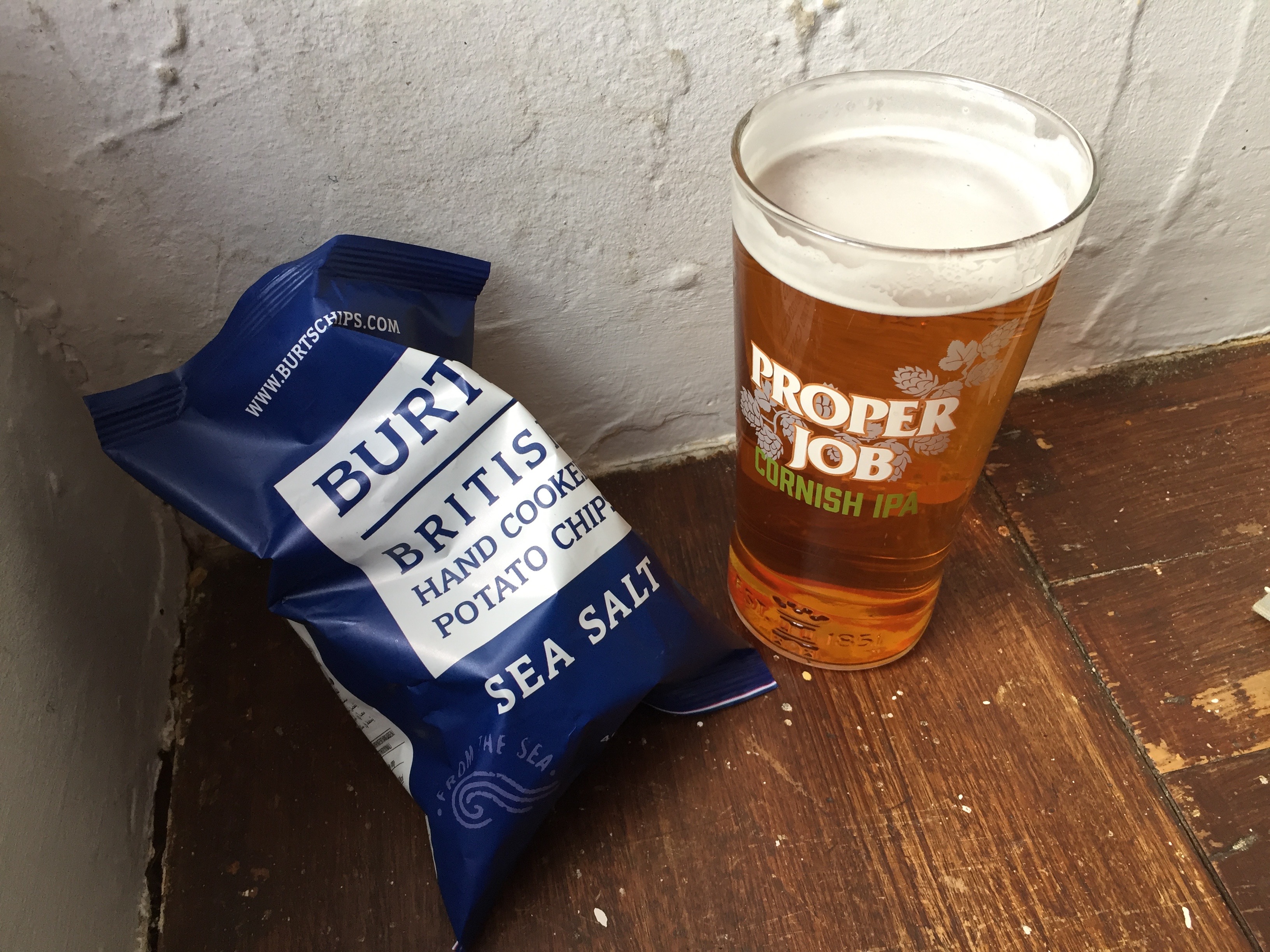
From here I check the buses – there is one in 40 minutes which will take me back to my Bnb. I make straight for the nearest pub where I claim a corner seat overlooking the harbour, two packets of crisps and a pint of Proper Job – heaven!
Distance: 12 miles

Lovely walk, beautiful pictures. I think that plant is one they try to get rid of as it takes over (don’t remember name!) I’m sure your not too old to try surfing! X
I love reading your latest blogs Tricia, keep them coming.
Thanks for reading Colette xx
You can learn to surf when you come to Aus again ! All ages welcome.
I fancy the idea of saying in Castle Doydon – only I a good Summer though.