
Another day of strong winds, roaring in the ears, trying to keep my balance – everyone’s complaining – keeps the flags flying though…………
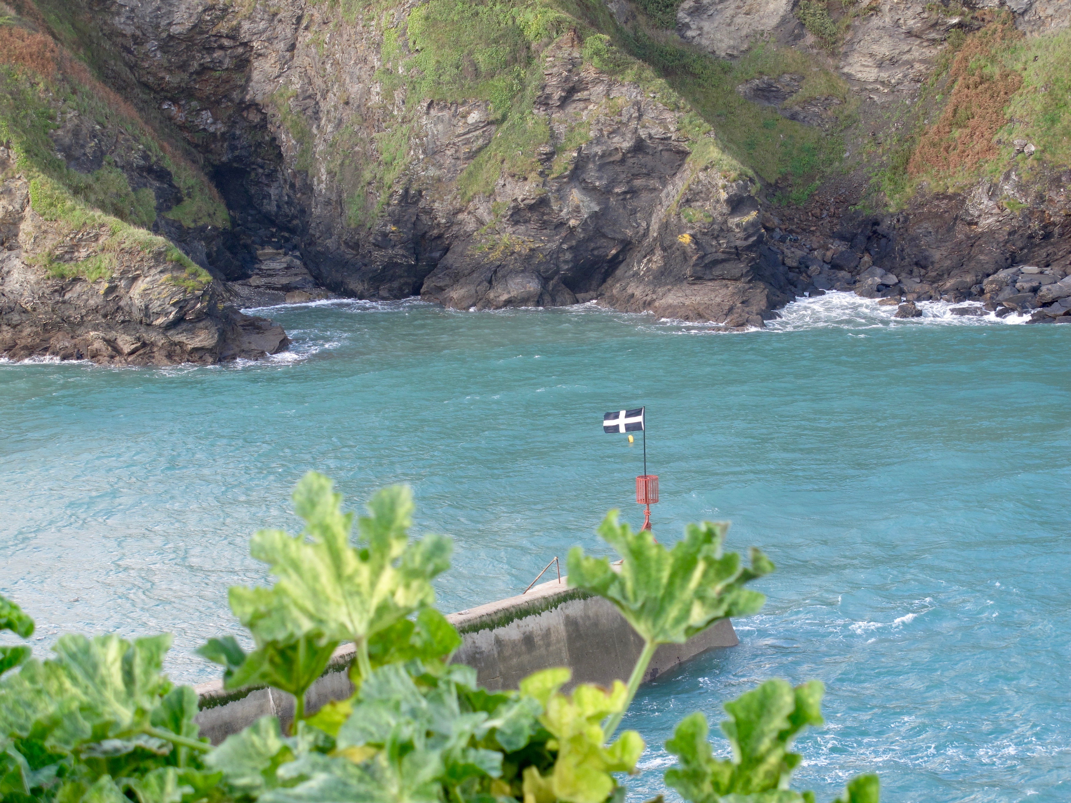
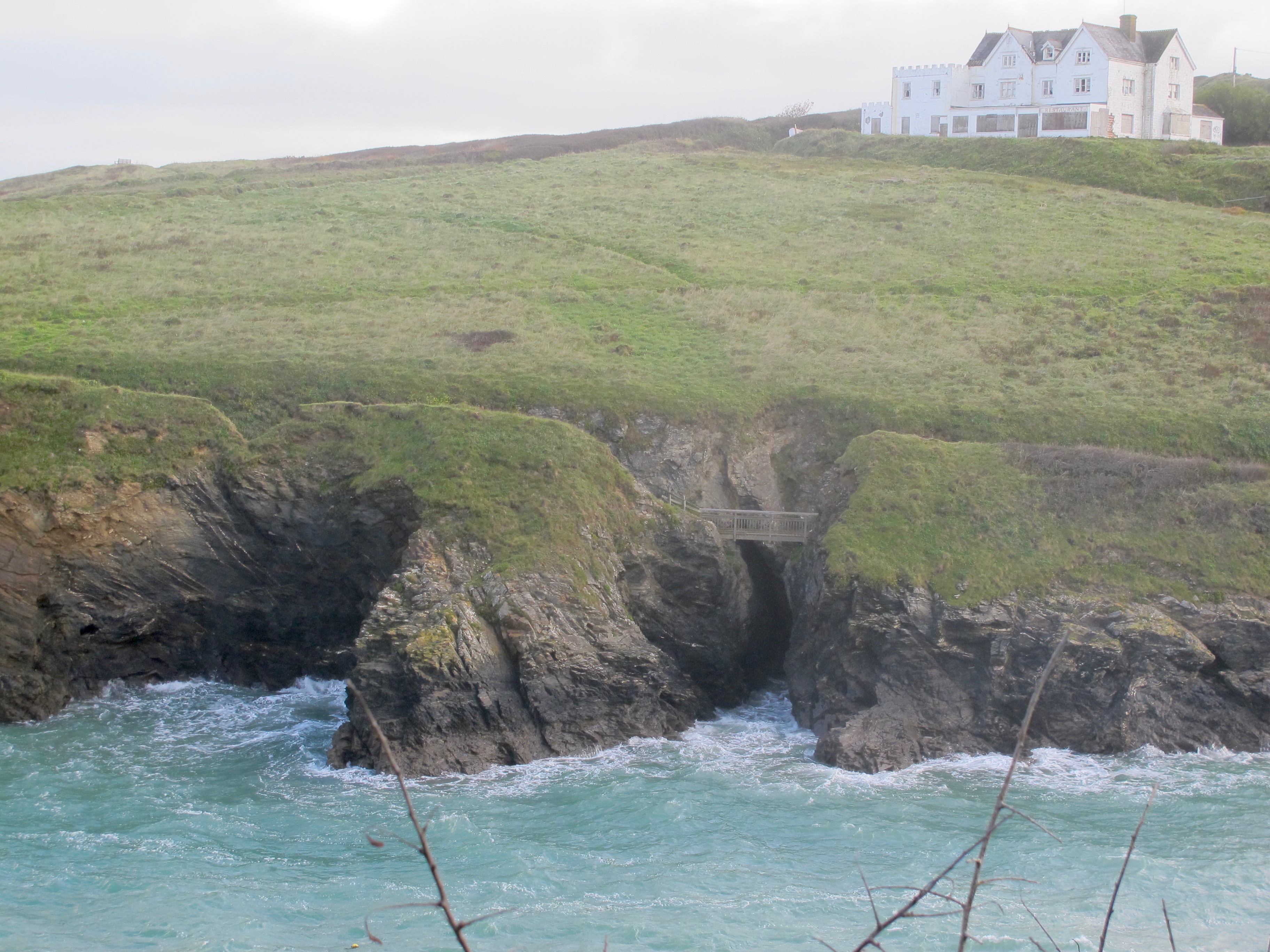
I walk up the steep coast road incline out of Port Isaac and down into Port Gaverne. Across the bay is a small inlet with a bridge connecting two sections of cliff but the path is closed.
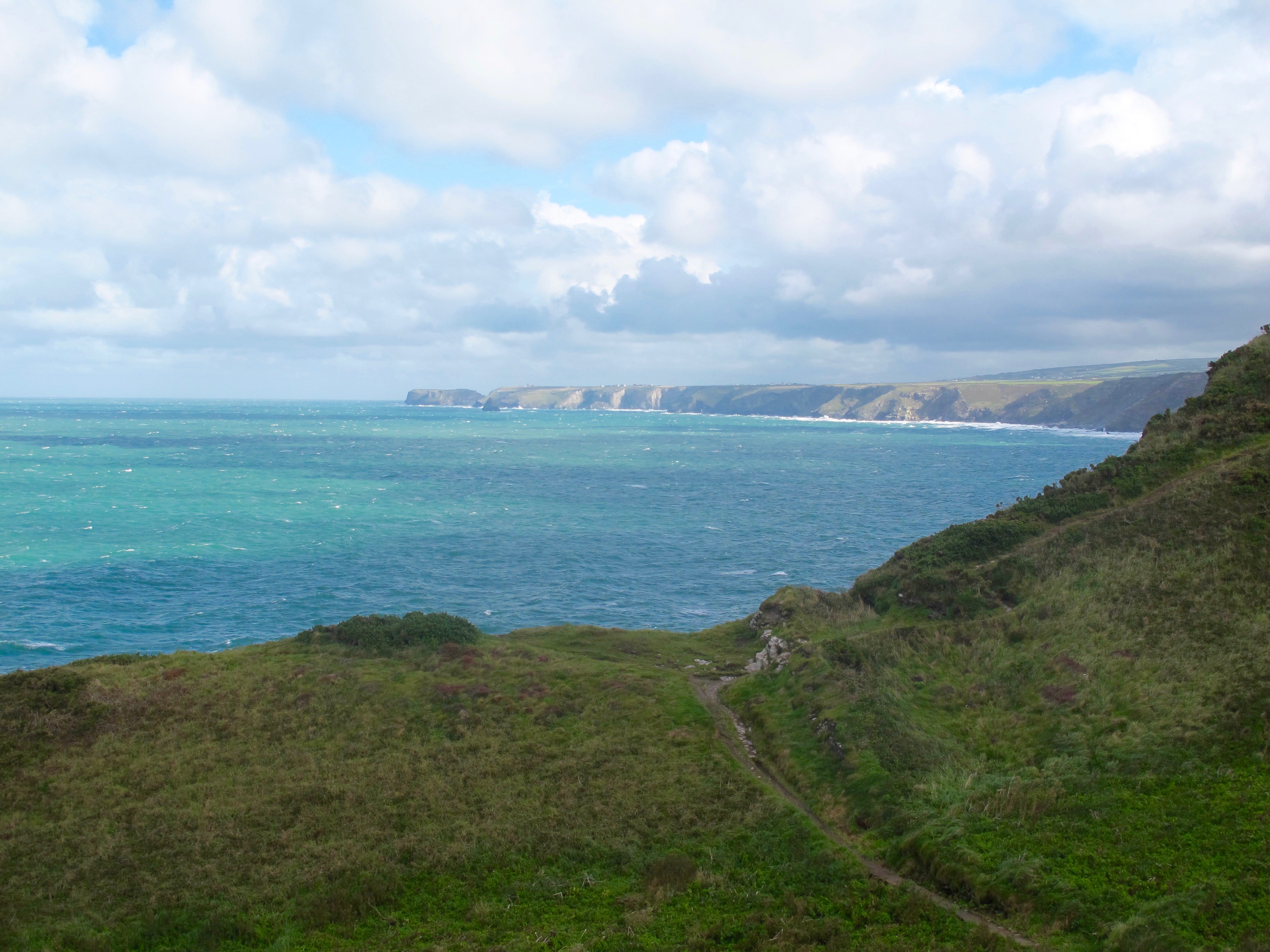
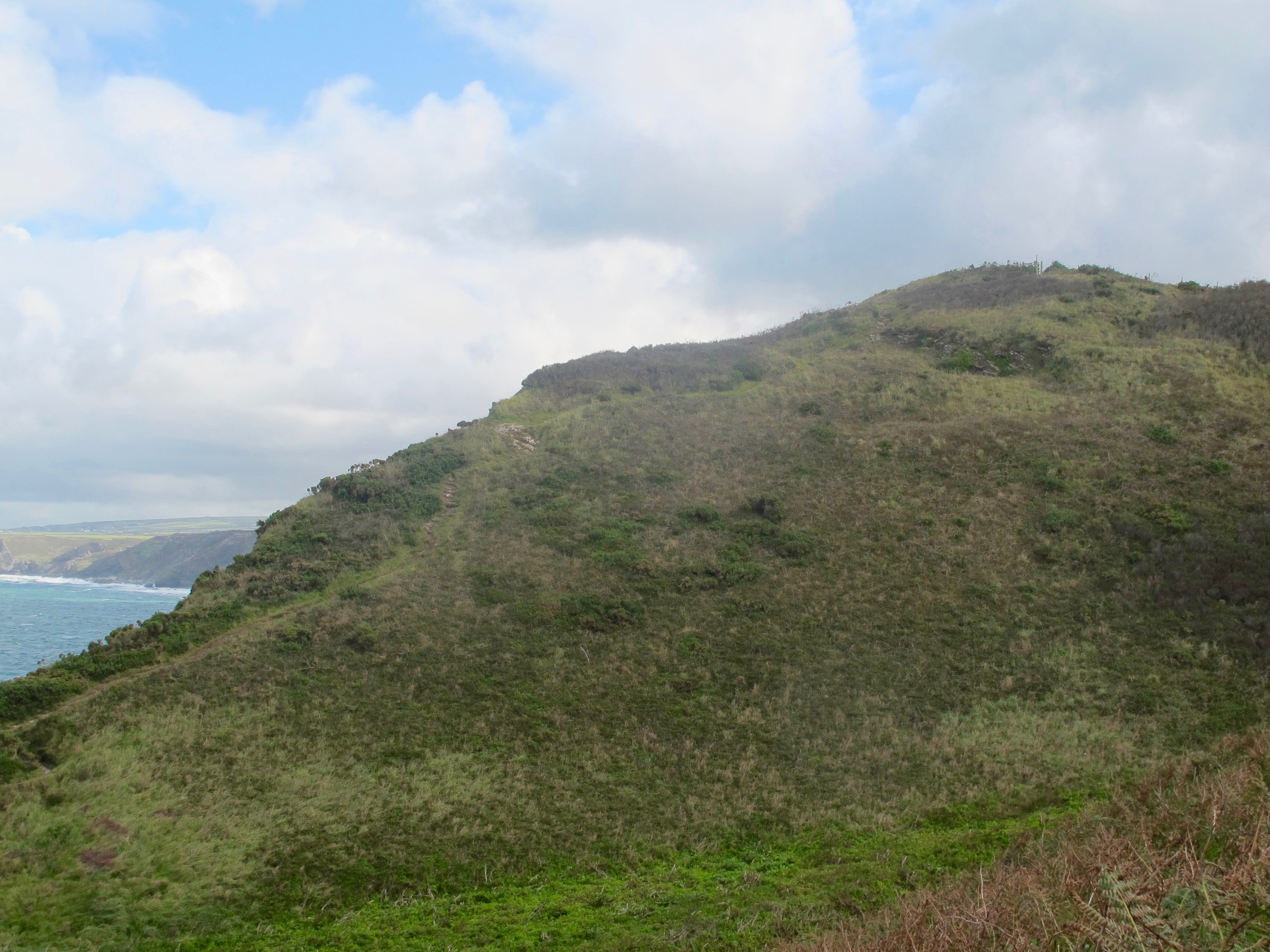
From the top of the cliffs there is a lovely view of my walk today………

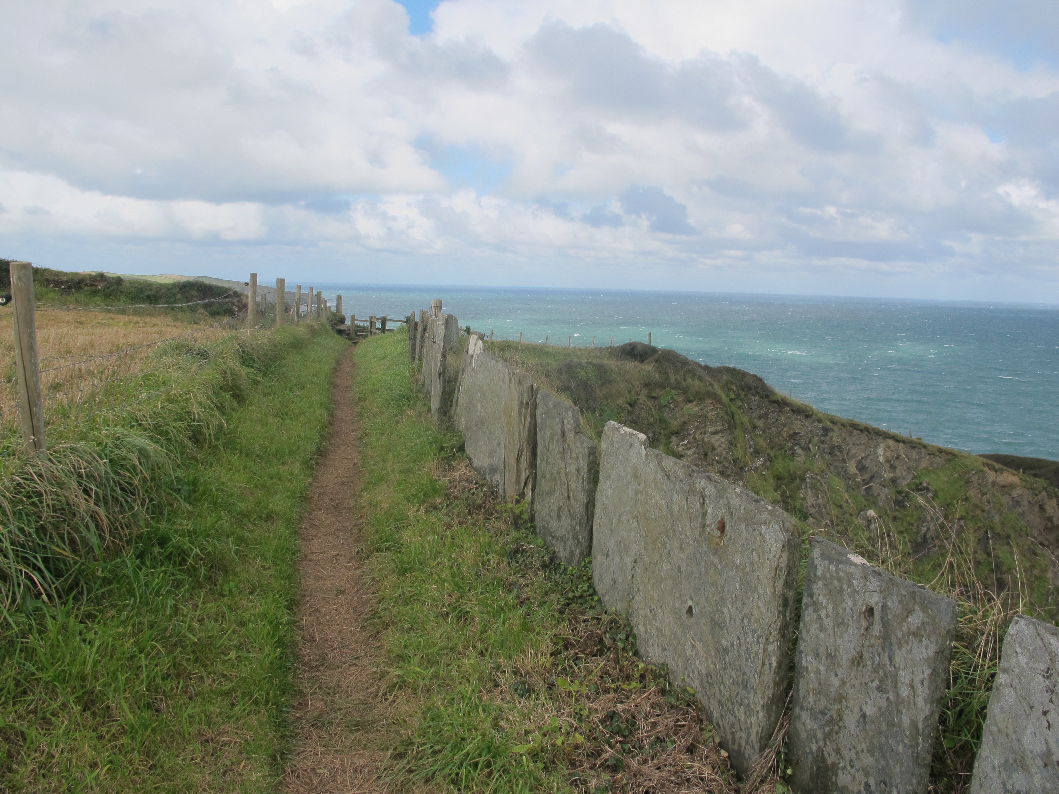
………and as I wobble along the path, fighting the wind I am very glad to have these stone slabs protecting me from the precipitous drops on the other side.
At the top of the next drop I pass a couple huddling into the bank – the girl looks very scared.
…..and I myself am a little apprehensive about the wind, the narrow path and its proximity to the edge.
……………and then it starts to rain………………..heavily. I tuck all my precious electronics away and take stock. And what I come up with is RETREAT – this is not an endurance test and I don’t want to die.
So, at the very next opportunity I turn off on a footpath that leads me over fields to the road running parallel to the coast. Here, the wind is not as bad and there is very little traffic. I walk for a couple of miles, the rain stops and the sun comes out – I decide to go back to the coast path.

This of course is not without its challenges – a field full of frisky bullocks sets my heart racing but they’re not blocking the path and as advised, I make no eye contact.
The footpath takes me through the ruined farm buildings of Dannonchapel, first recorded in the Doomsday Survey of 1086 as housing 1 villager and 4 slaves.

Climbing up to Crookmoyle Rock I look down into the deep gorge beyond and take it very slowly.
At the bottom is a lovely wooden bridge to take me over the stream…….
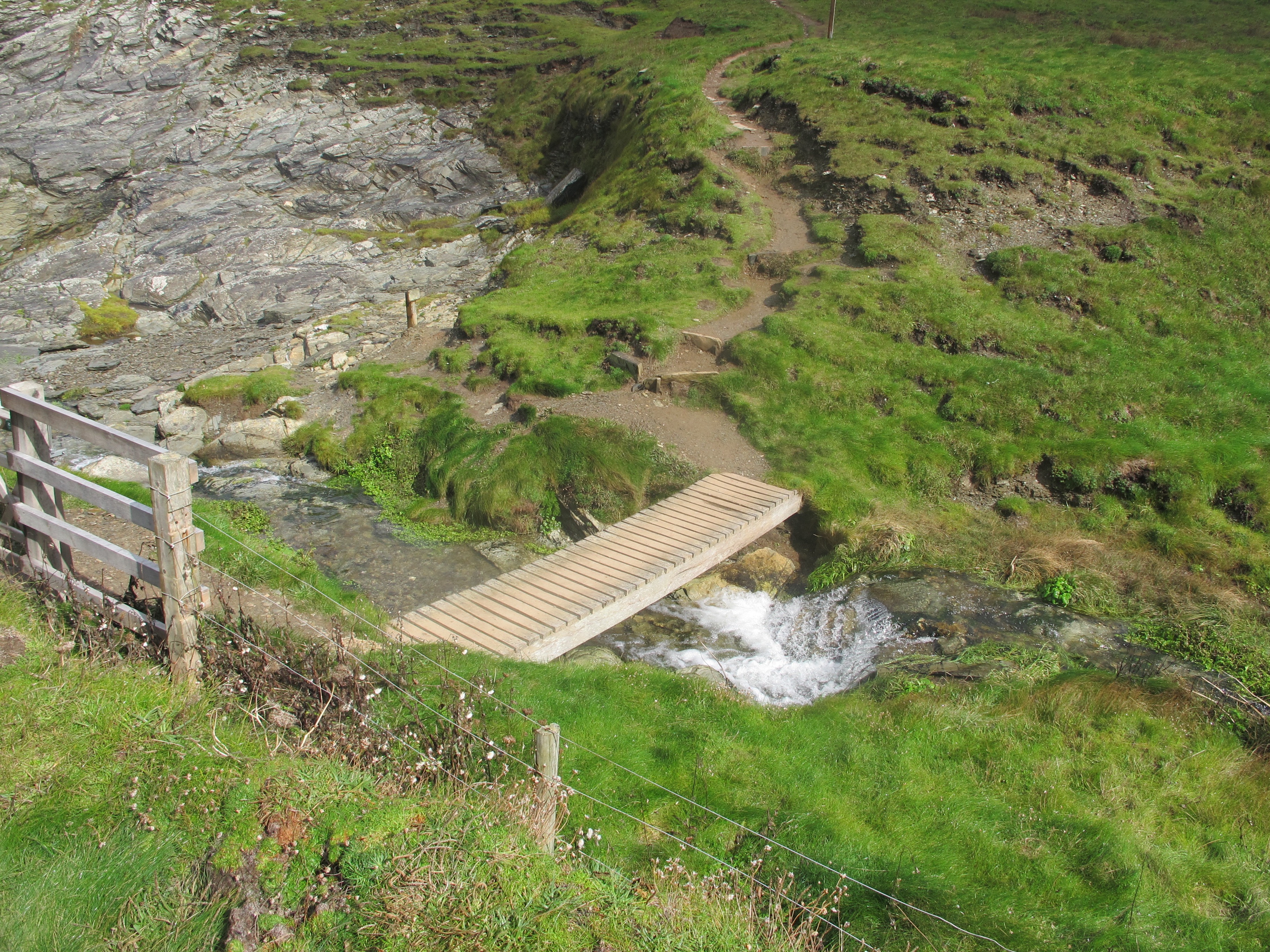
…………..and another one to take me across the ravine at the top …………..

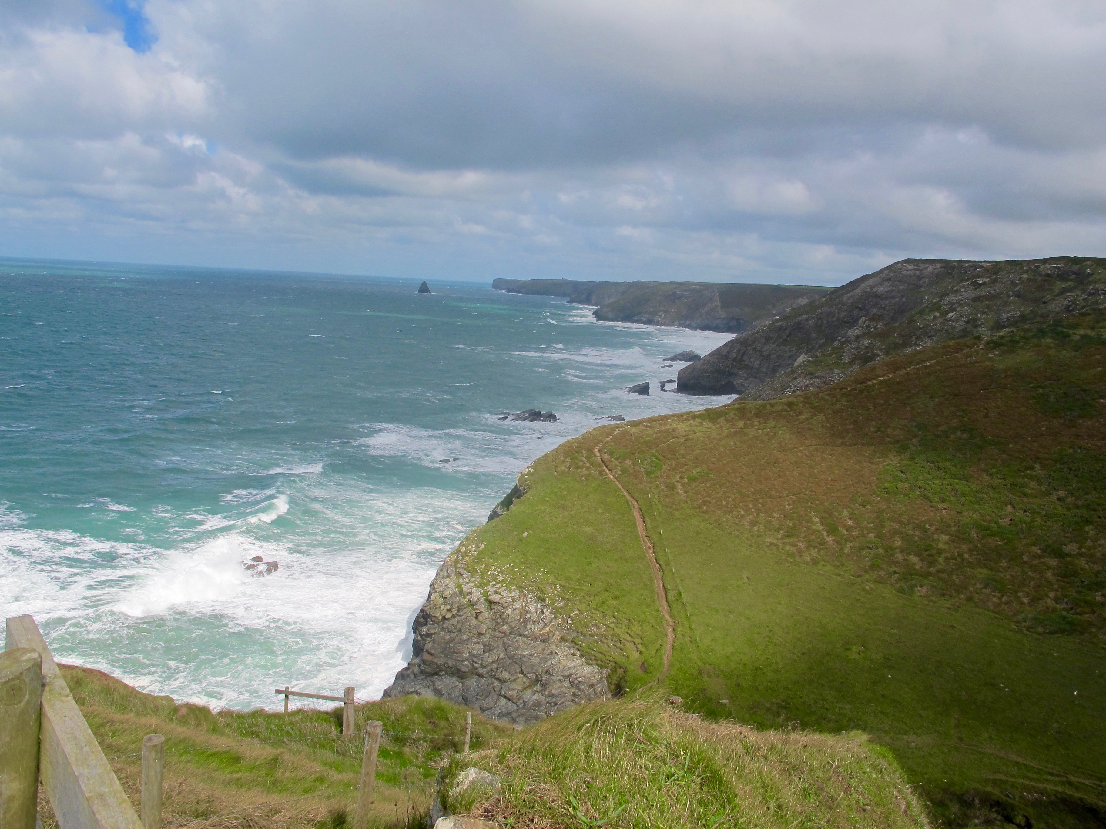
In the distance is Gull Rock which marks my destination……………

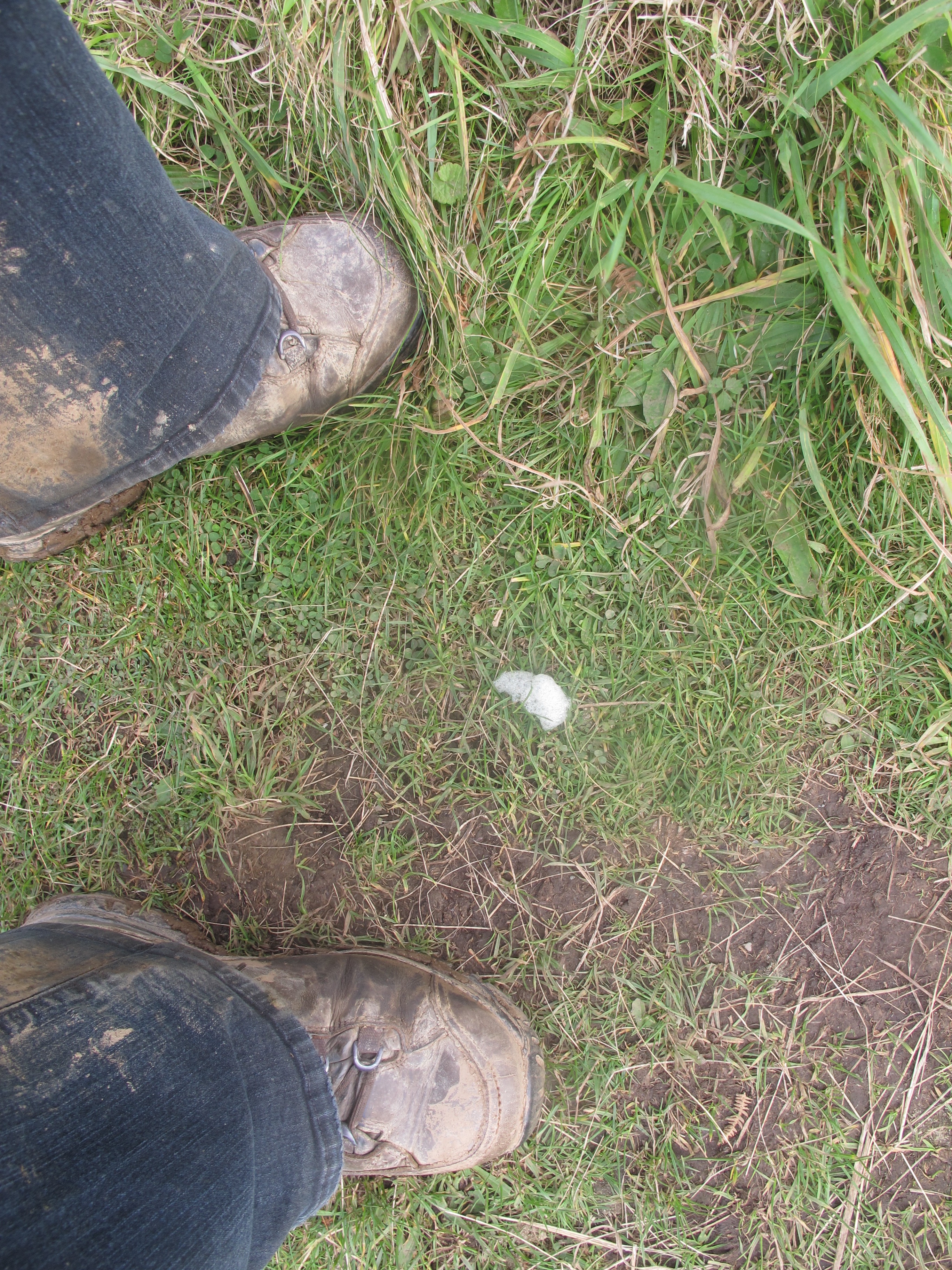
…………..and then I find this – too late in the year for cuckoo spit but I am about to find out.
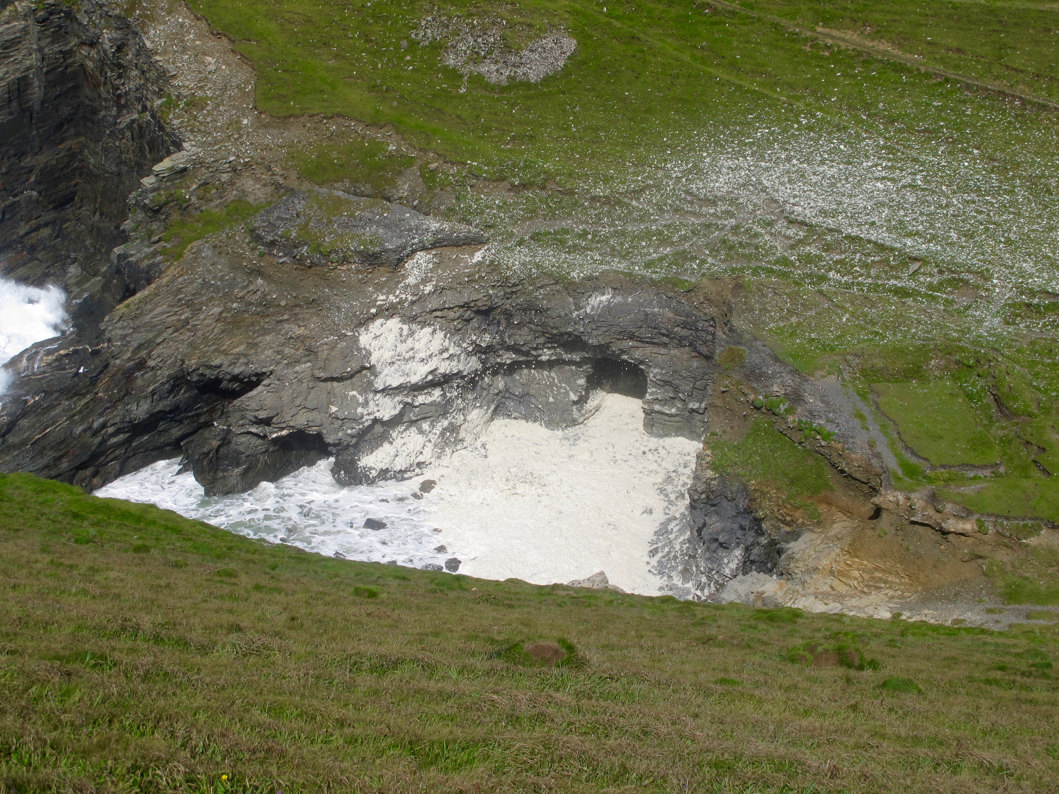
Just before the next steep descent I look down on a little cove of foam, whirling up from the rocks and settling on the path ahead. I realise this is spume, which is when the waves are whipped into foam or froth by a strong wind. I have only seen it once before and that was many years ago when Damian and I tried to walk a section of the Pembroke Way in a 30mph wind.
I walk down this winding narrow path to the bottom of the valley and give myself a rest and a banana by the side of this pretty little stone bridge.


And from here on the walk is easy, along the top of the cliffs, although there is one last steep drop down into Trebarwith Strand.
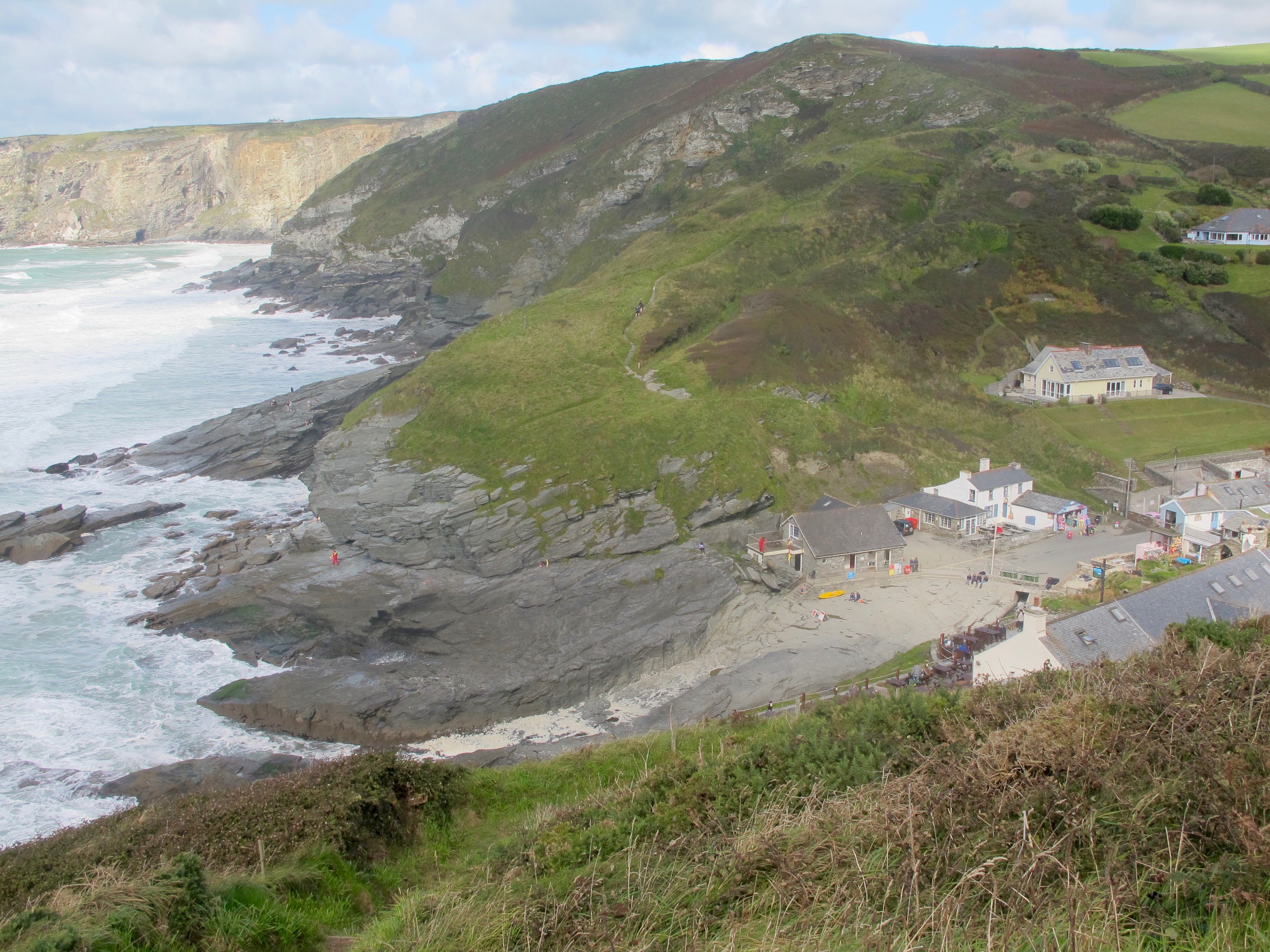
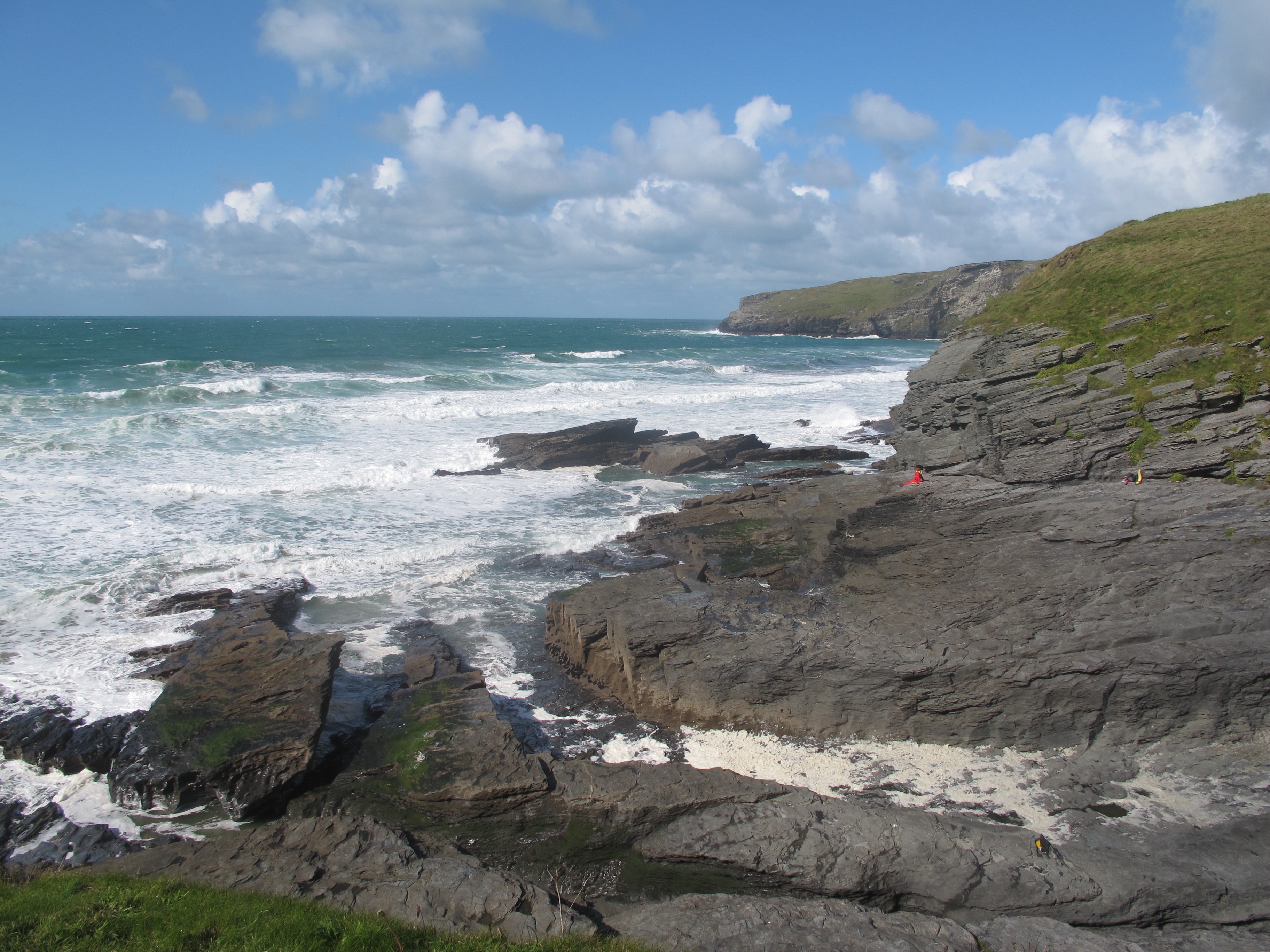
The beach here is a large area of layered flat stones with a stream running through them. There are quite a few people milling about staring out to sea or messing about by the stream – Gull Rock stands to attention out to sea. The village amenities are one fairly big hotel, public toilets and a cafe. I am also surprised to see two surf shops but the shop assistant tells me that when the tide is out there is a wide, long sandy beach and plenty of opportunities for surfing.
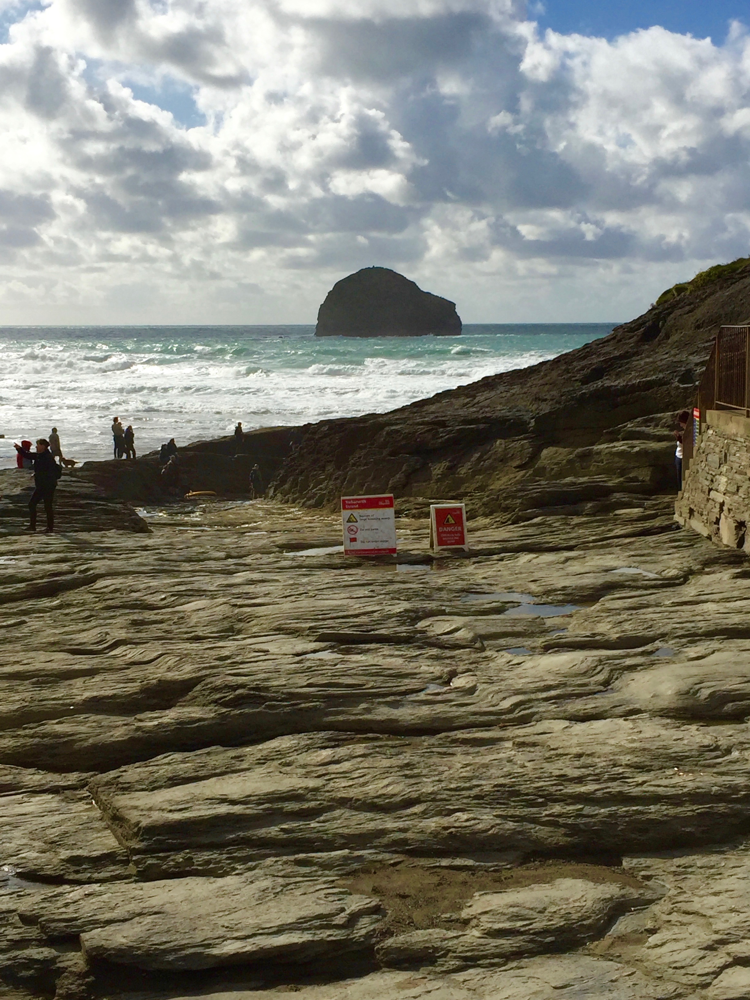
I sit on one of the large stones and finish off my lunch thinking about how I’m going to get out of here – there is no telephone signal and no bus service. In the cafe I ask the owners if they would call a taxi, which they do, but I will have to wait an hour – it is school run time of day and there are none available. Ah well………
Later, from talking to other walkers I discover that the walk I did today is considered the most dangerous section of the South West Coast Path and is labelled “severe” – even without the wind!
Distance: 7 looooong miles

Never seen foam blowing up onto the cliff tops like that, quite a sight. I too found that Trebarwith Strand was just rocks and no beach.
Gosh well done for completing that walk! Lovely views. Interesting reference to the doomsday surveyX