
The friendly bus driver in Blyth has the time and energy to correct my Franco pronunciation of Cambois – “Camess” he hisses – who would have guessed that? Apparently, the most likely origin of the word is from the Gaelic word “cambas” meaning “bay” or “bend in a river”. We walk down to yet another beautiful stretch of golden sand – with no-one on it

Apart from a few fishermen………………..

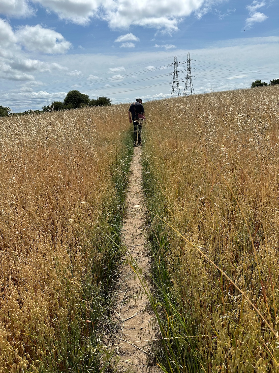
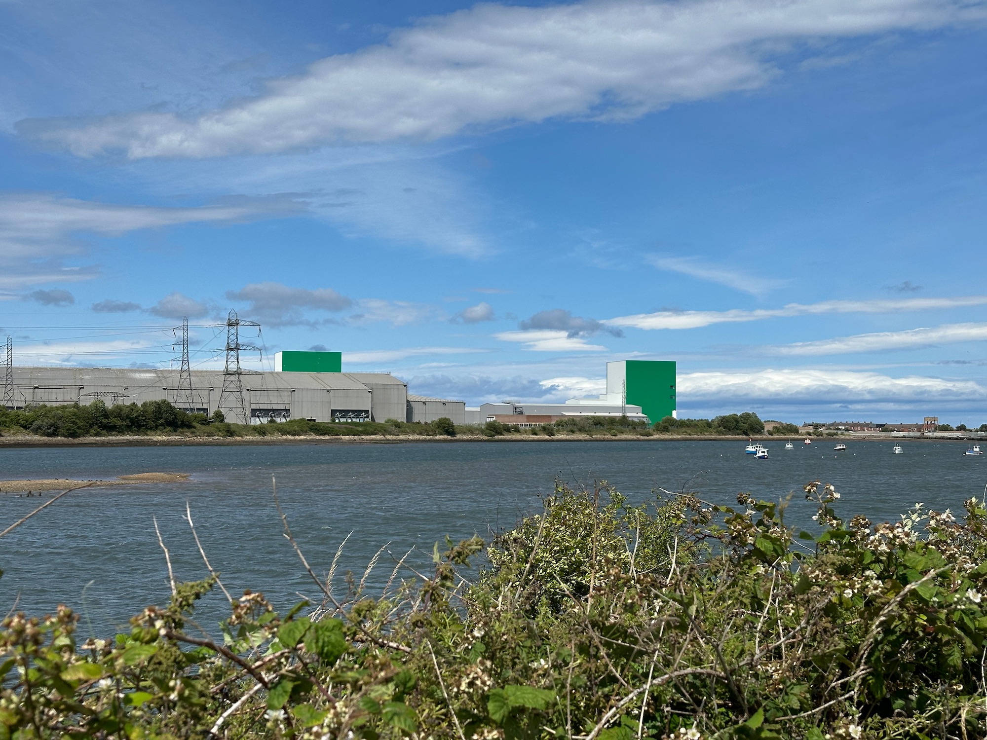
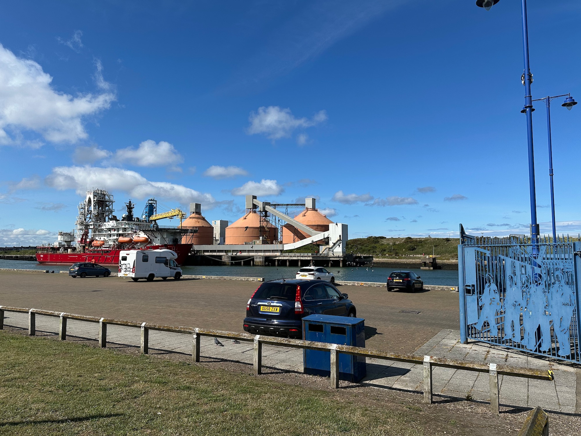
About a mile up the beach the path turns off inland to avoid the Blyth estuary ,and leads us onto a minor road, flanked on both sides by dreary faceless industrial buildings. It is very hot as we trudge along the tarmac and the only thing that manages to catch my eye is the bright turquoise facades of two mammoth, windowless buildings. I later discover that the whole site is part of a 130 million pound manufacturing facility for the production of high voltage subsea cables for offshore wind farms. That’s good news…………
Eventually we cross Sleekburn, a tributary of the River Blyth and turn southwards through farmland.
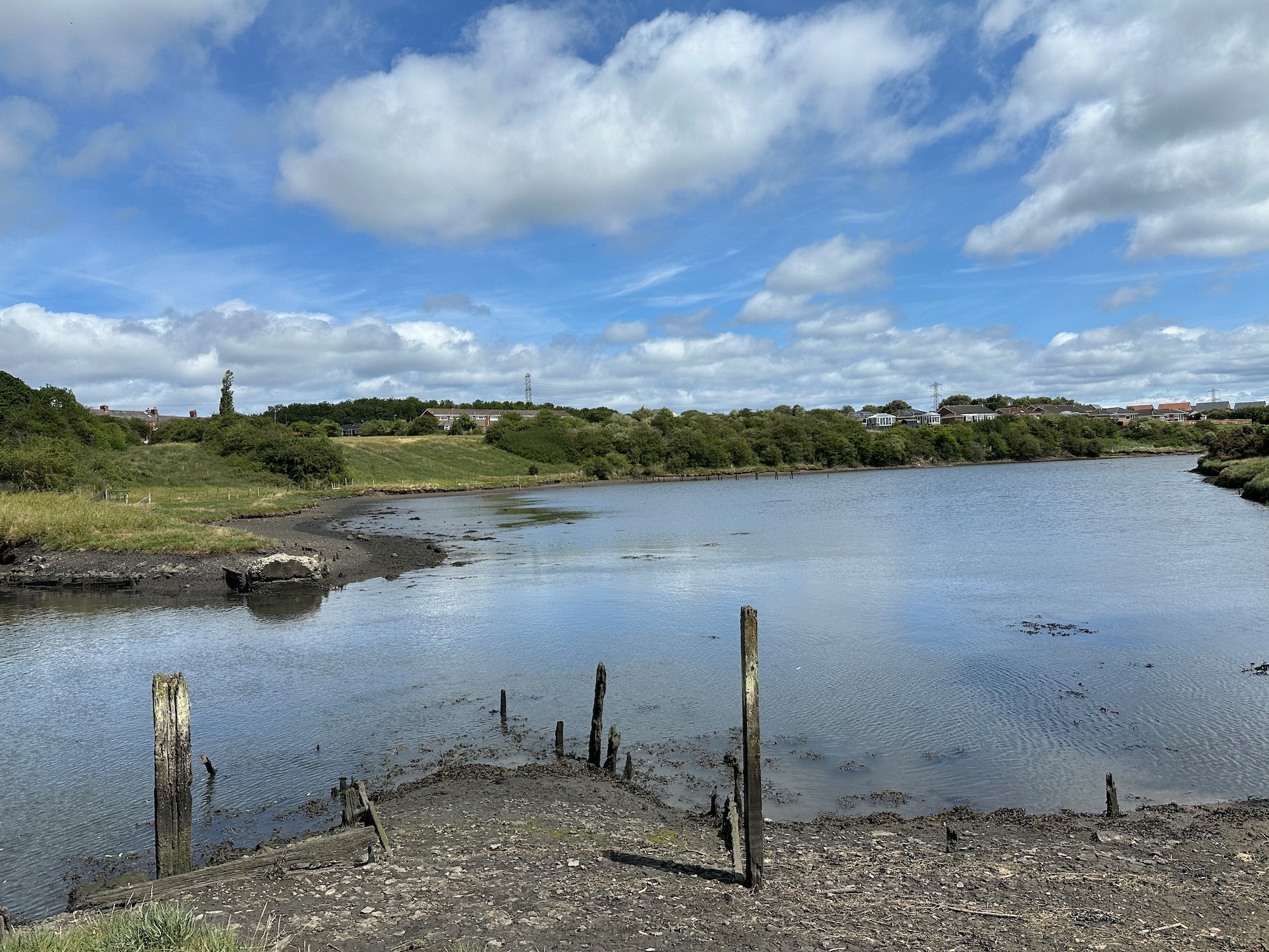
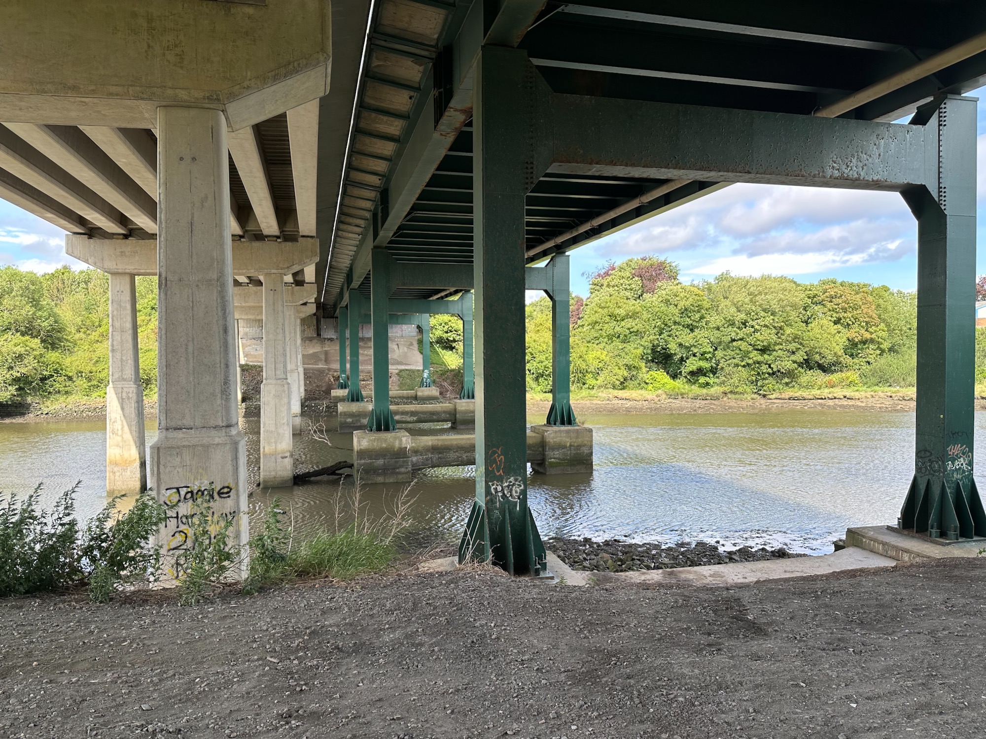
About a mile further on we reach the north bank of the River Blyth and a well marked path taking us to a road bridge. Previous research had only given me conflicting information as to pedestrian access across the bridge so I am a little worried.

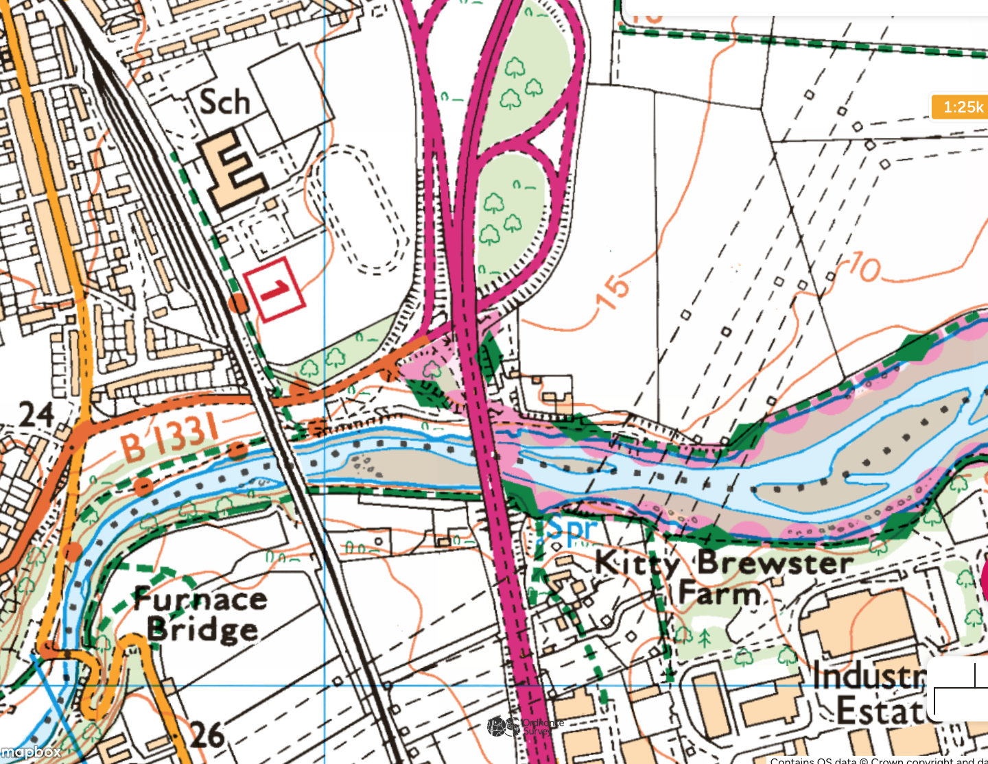
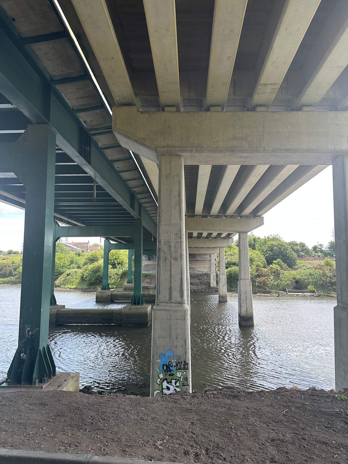
We hear it before we see it – a continuous stream of traffic thundering across the bridge. Walking underneath the pillars we miss the turning which would have taken us up onto the bridge. I am quietly relieved as we find the alternative route, under the railway bridge and onto the much quieter Furnace Bridge for pedestrians and cyclists.
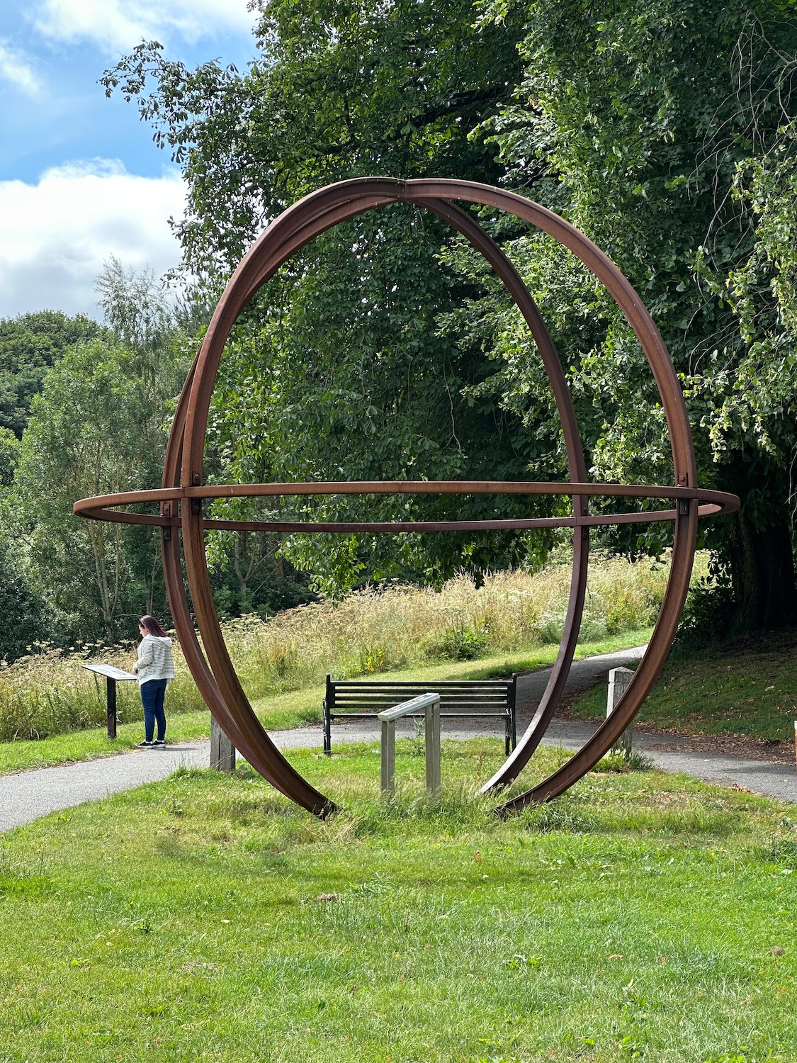
Just before the bridge, stands a giant steel orb on the site of what once was the Bedlington Iron and Engine Works which closed in 1867. The information board tells me that the engine works used to be a world leader in the production of railway lines and locomotives. Apparently the first train out of Kings Cross Station was hauled by a Bedlington locomotive.
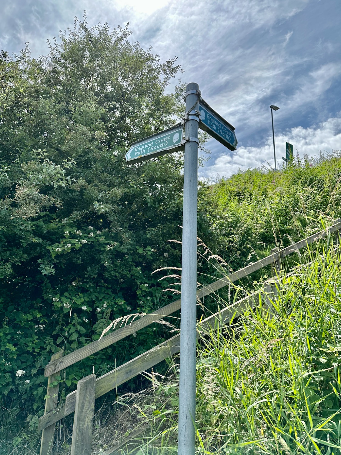
We cross Furnace Bridge and turn left, following the south bank of the river and under the road bridge again. Just after the bridge a footpath sign on our right indicates where we would have come down if we had crossed the road bridge.
So for future reference you can walk across it – if you want to.
We walk on an easy path beside the river – cyclists are also using the tarmac path so there is a bit of hopping into the bushes to avoid them – it’s all good natured though.
Across the river is a long line of industrial buildings and those turqouise mammoths we walked past.
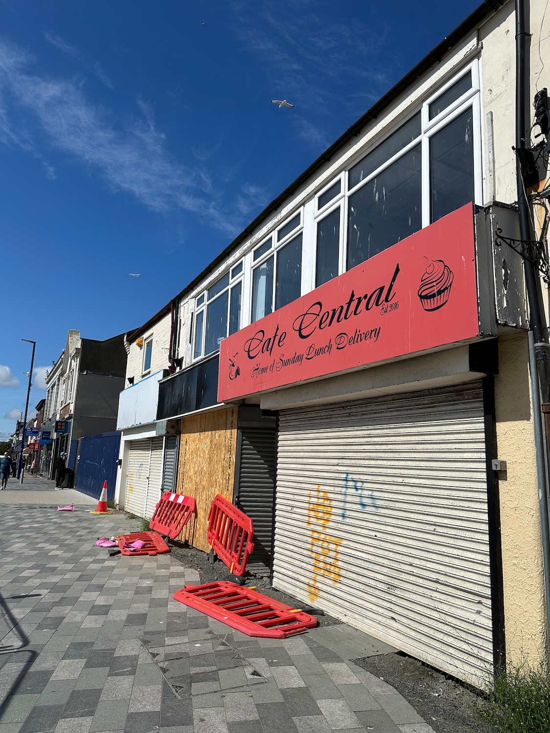
The streets in Blyth look depressingly familiar but we do manage to find an art cafe housed in a Victorian arcade for a cup of tea and a cake.
We move down to the quay and walk alongside the water until we are forced onto a busy main road out of town which seems to go on forever.
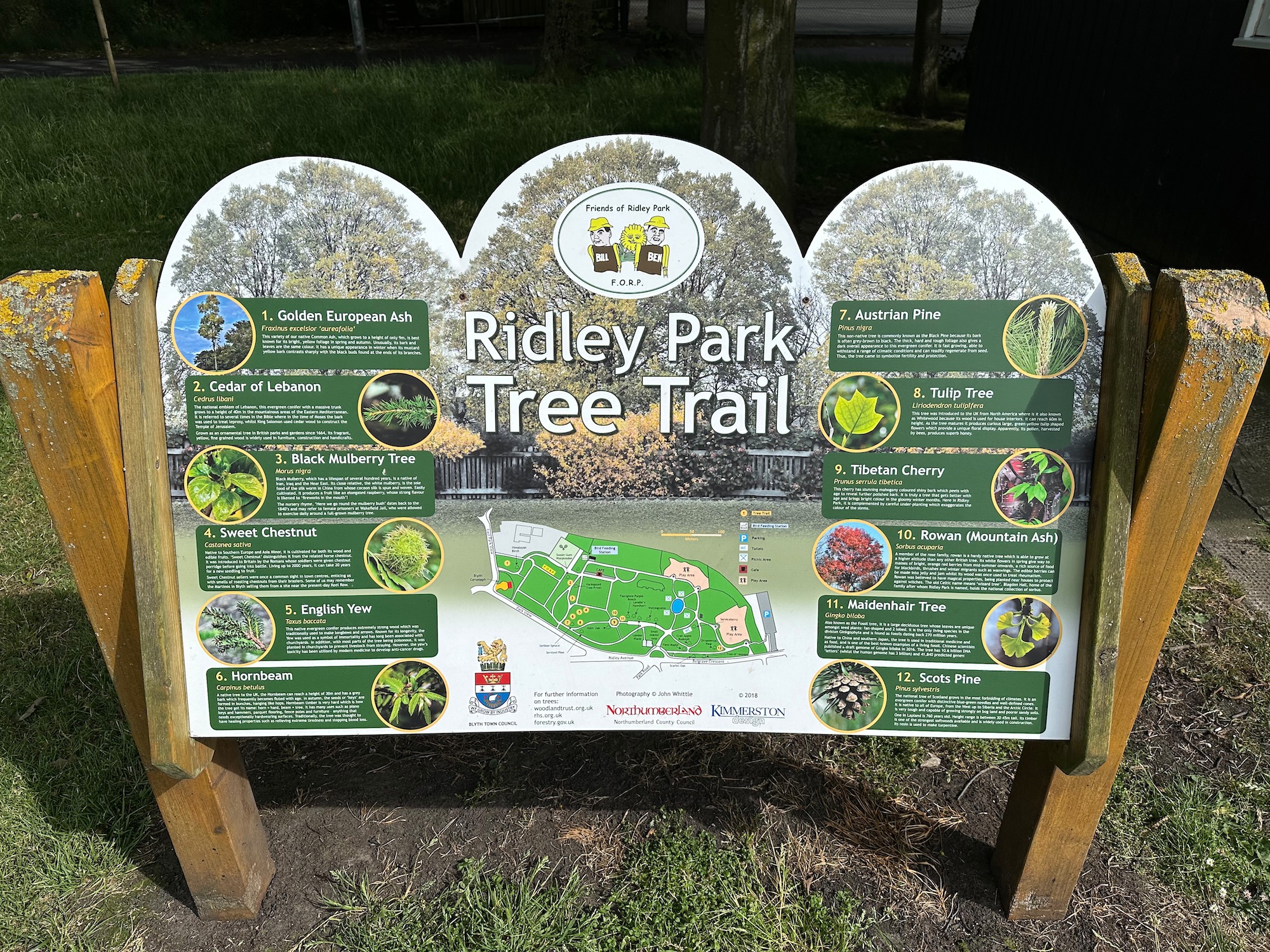
At one point we seek refuge in a park running parallel with the road and follow a tree trail for a while.
Until we reach the start of a promenade – the sand looks soft so we keep to the concrete.

But later we are directed through dunes which are even harder to walk through so we take our chances and move onto what patches of wet sand we can find. Once more we find ourselves on a stunning long stretch of deserted beach – where are all the holiday makers? Don’t they know?
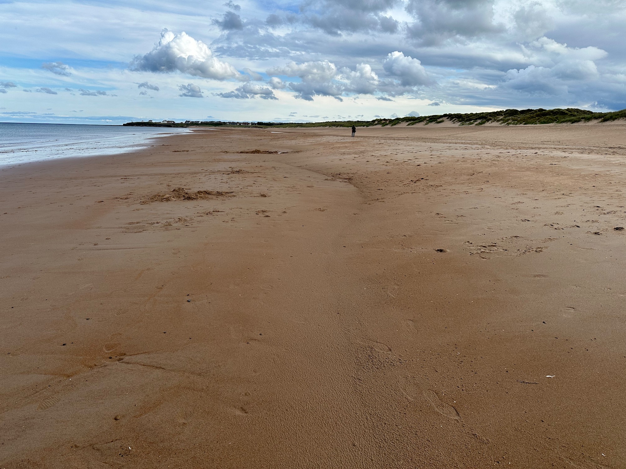
By now I am very tired and very glad to see the houses of Seaton Sluice appear in the distance. Walking directly from the sand up into the sluice proves more difficult than we think as there are several paths to choose from and my brain has blanked out from fatigue.
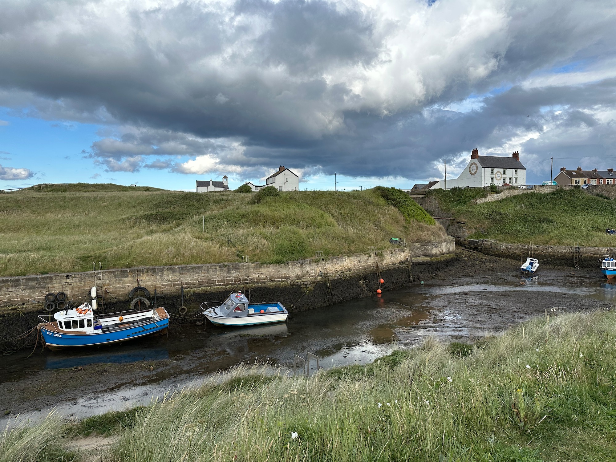
Finally we end up on the road which bends left to the pub as all roads should do after a long walk.

Distance: 12 miles

I would have pronounced Cambois like you and asked the Taxi driver to try saying Burscough! Glad to hear about the manufacturing facility for off shore wind farms. Maybe the sea is too cold so people don’t use the beaches! Yes all roads should lead to a pubxx
Yes I suppose the North Sea is bound to be a bit colder than the Bristol Channel at Porthcawl! xx