Out of the back of Millom Station we head south on the coast path through an area that shows signs of previous industry. (no photograph, don’t know why). In its heyday, Millom Ironworks was one of the largest in the world, but was forced to close in 1968 after a failure to attract investment for new steel making processes. Since its demise, efforts have been made to transform the pits and slag heaps into a local nature reserve which opened in 2002 .
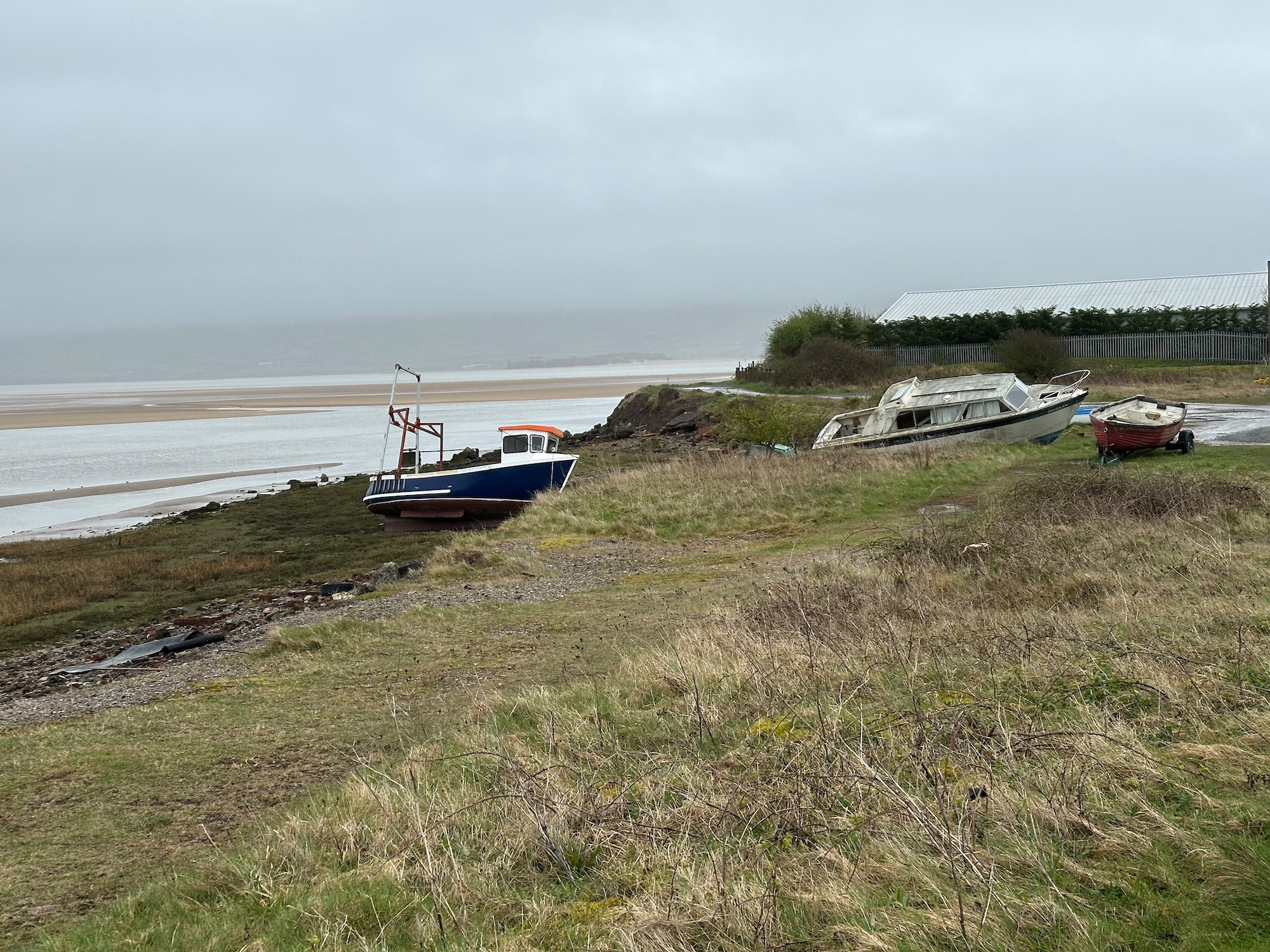
Further down the bank of the estuary is the familier sight of beached fishing boats.
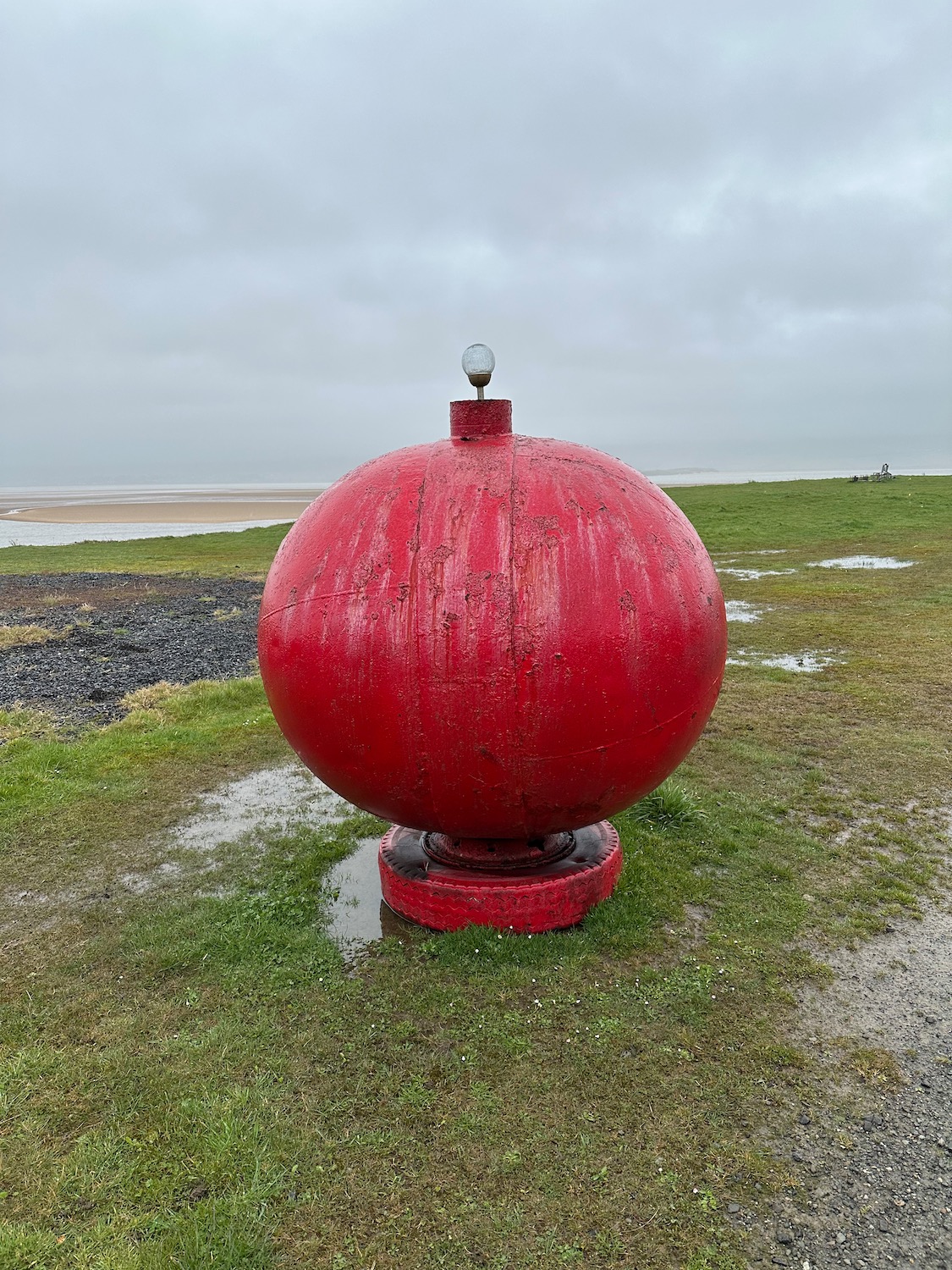
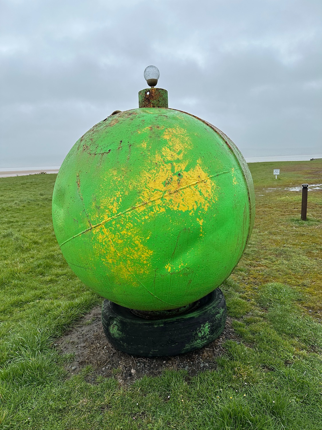
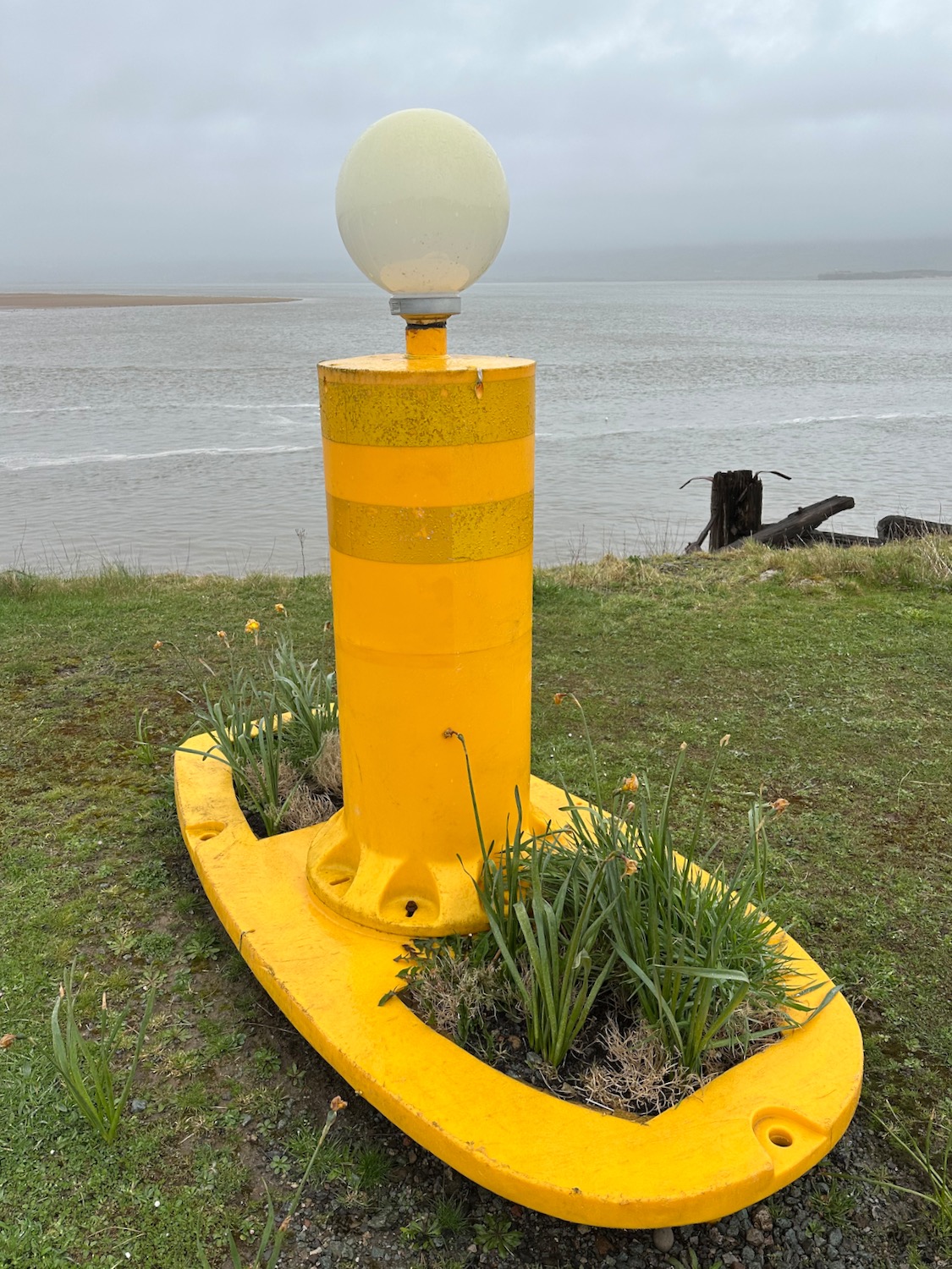
And further still there are a few attempts at beautification of what is a rather sad and desolate area – there is nobody here.
From Hodbarrow Point the path follows the outline of a shallow freshwater lagoon, created by the flooding of another iron mine – as previously the area surrounding the lagoon has been transformed into a nature reserve run by the RSPB.
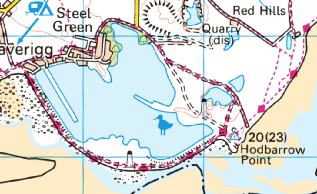
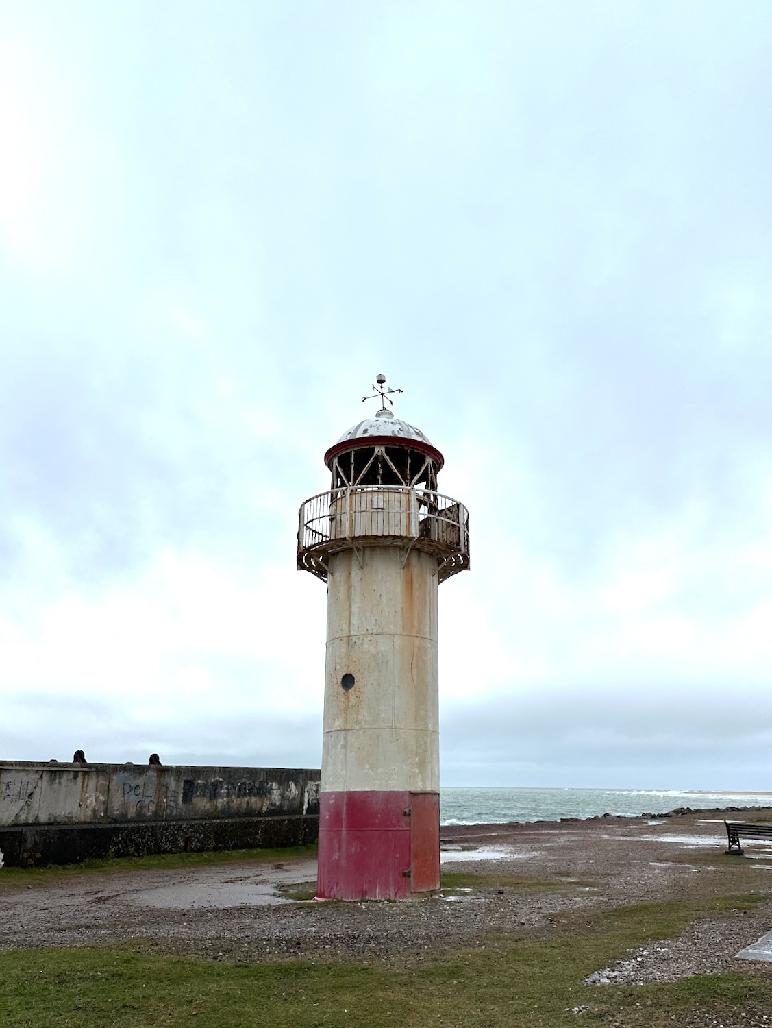
Halfway along stands stumpy Haverigg Lighthouse – looking a little worse for wear.
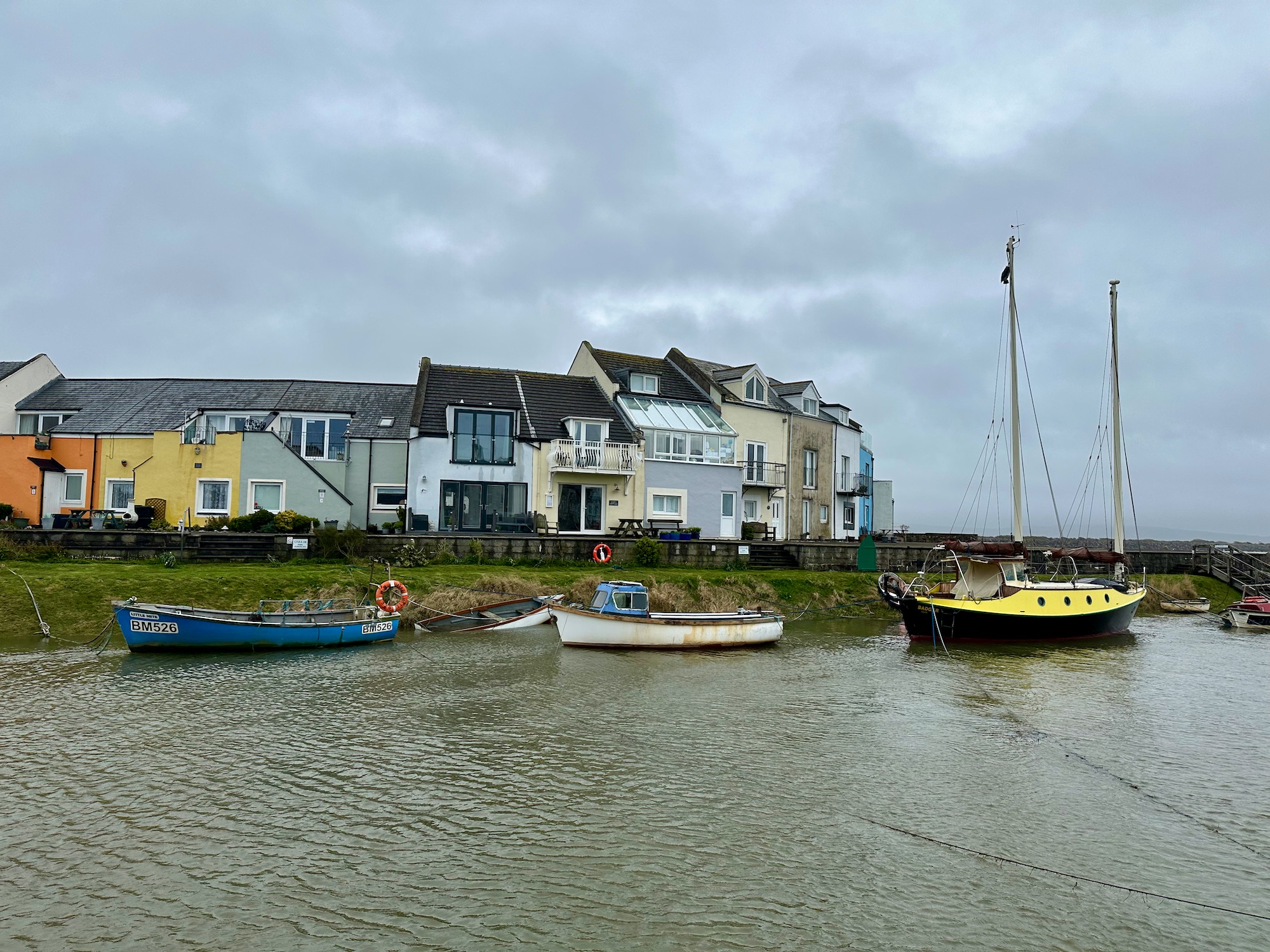
And soon we are in Haverigg, a sleepy little town with pretty pastel coloured houses framing the harbour.
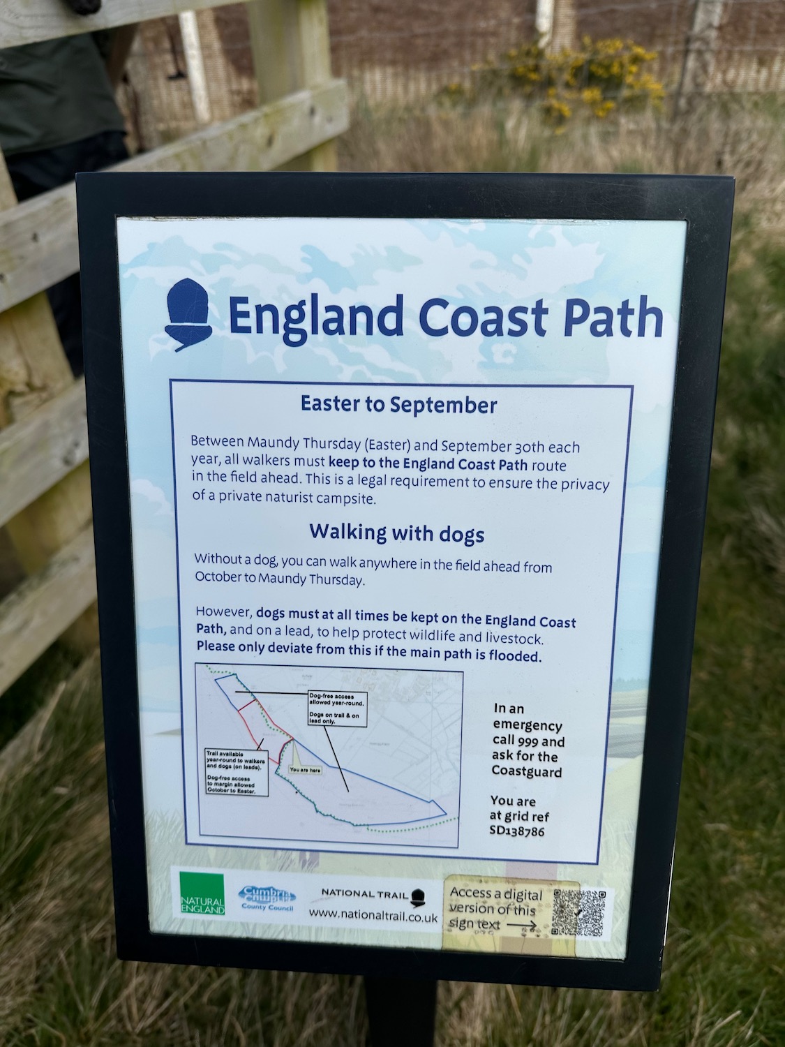
After a welcome cup of tea and a bun, we continue through the dunes following the King Charles III England Coast Path. It’s hard work walking in the soft sand, but after a couple of miles the path turns inland through soggy marsh and fields. Here, we spend a lot of time hopping from relatively dry tussocks of reeds and rough grass to avoid sinking into the mud. After several attempts to make it to the fence, which we need to climb, I catch sight of an ECP sign warning us to keep to the path to avoid a nearby naturist campsite. Well – of course we would, if we could find the path.
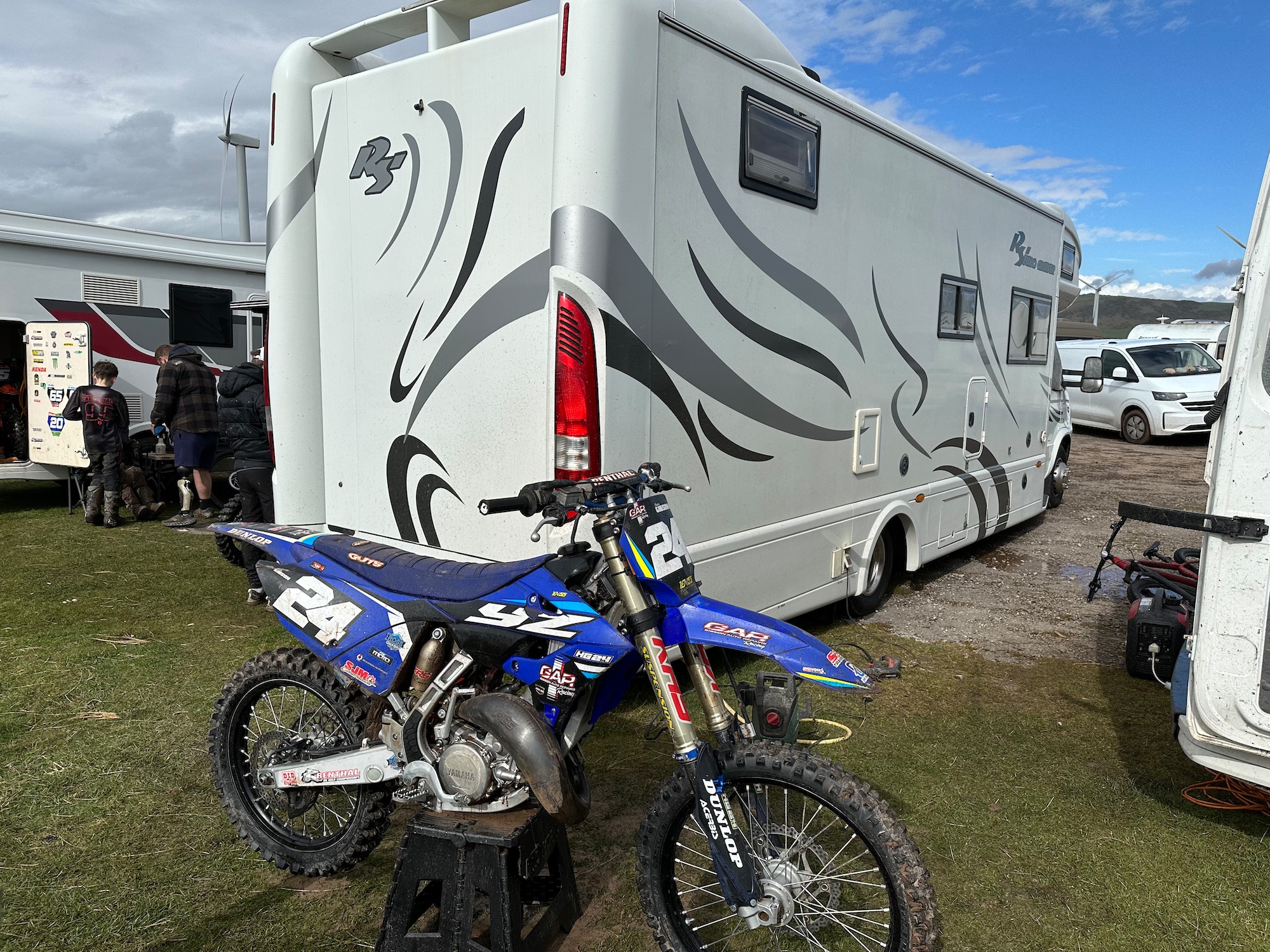
Ten minutes later the silence of the afternoon is brutally broken by the sound of motorbikes revving up ahead. We have now stumbled upon what I now know is the Cumbria 4x Motorcross Track. Unfortunately we are not allowed anywhere near the action but I try to take a few photos around the back of the van park.
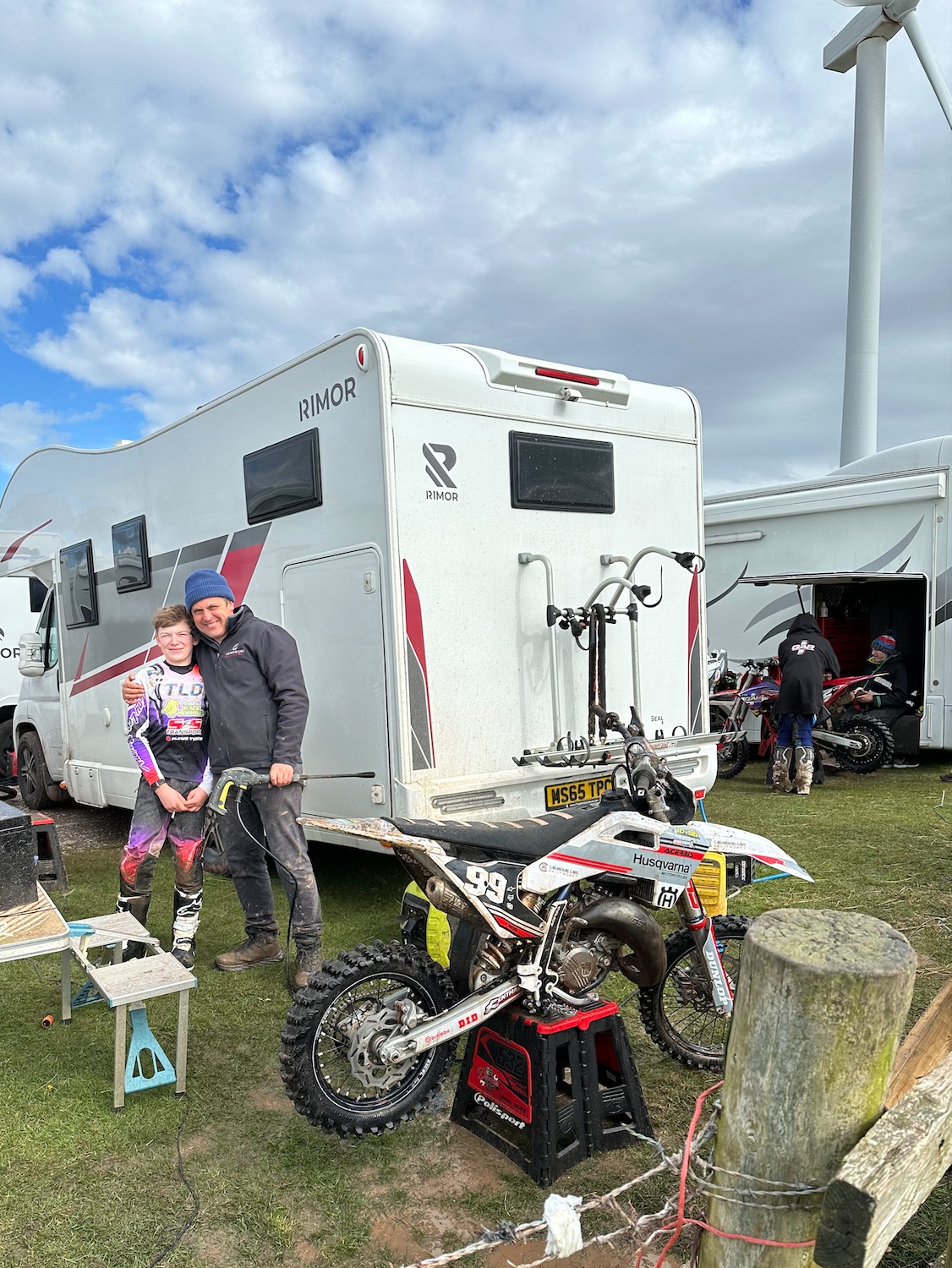
I get some sour looks but one father and his son were up for it…………
From here we skirt Silecroft Golf Club and head up a minor road to the station. This has not been the most inspiring of walks but tomorrow is another day.
Distance: 10 miles


Fascinating photographs and with the contrast between the emptiness at the beginning of your route and the revving motorbikes at the end, it was quite an unusual walk.
I’m amazed by how desolate this whole section seems to be.
Good it didn’t rain!
Perhaps it was the weather Corinne although it did clear up towards the end of the day. Estuaries are always a bit forlorn – strange space between a river and the sea. When we turned the corner at Haverigg though the beach and dunes were beautiful, particularly with the Cumbrian hills in the distance. Thanks for reading – see you soon? x
A few highlights on this walk like the houses in Haverigg and the smiley motorcyclist in an otherwise sad looking area .xx
Yes – and I found I had taken very few photos………..x
That lookedf as wet and dreary as when I hiked through. There are nicer views ahead, and lots of waterlogged paths! I bet King Charles did not sample this section. 😉
Yes – I feel a letter coming om 😊
Well the walks can’t always be dramatic and exciting…..but every one is a mile closer to our destination? Press on. Revel in the small things. Cup of tea and a bun? What’s not to like?