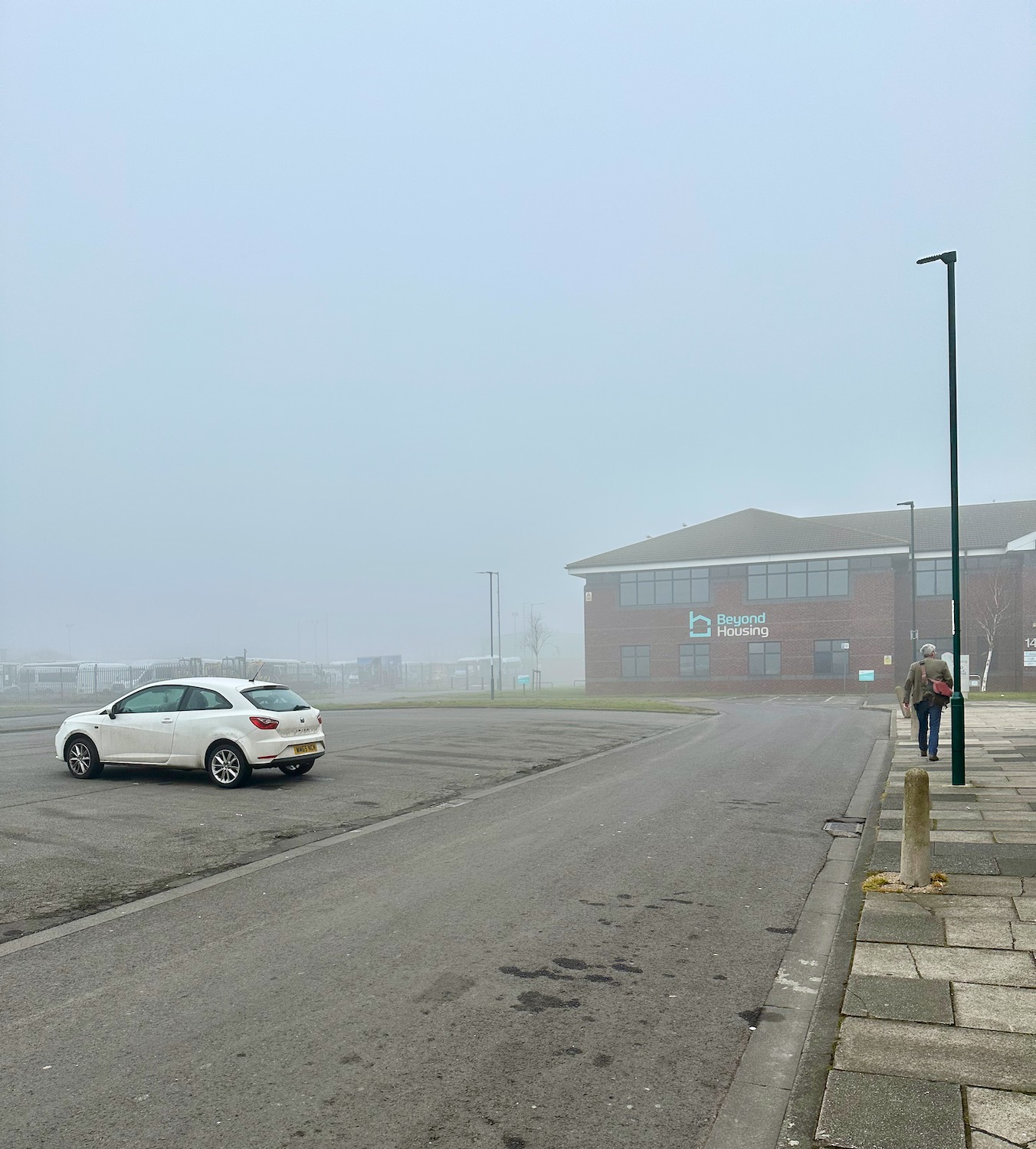
Now a down-at-heel suburb of Redcar, the houses in Dormanstown were originally built in 1920, to house hundreds of workers employed by the Dorman Long Iron and Steel works – the company responsible for the building of the Sydney Harbour Bridge. No vestiges of this past glory can be seen as we set off in the grey mist towards the A1085.
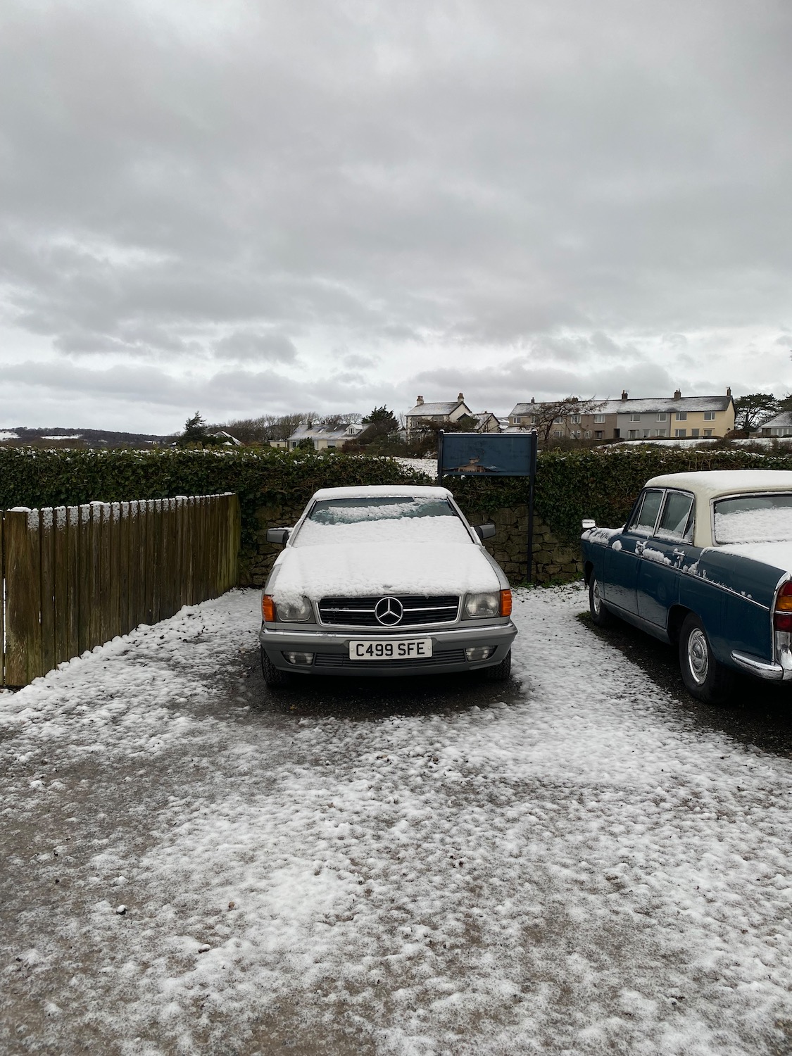
The snow has caught up with us overnight leaving a blanket on the car but it has stopped so there is just a cold wind to contend with. As I struggle to get my boots on outside the Derby Arms, a small voice inside my head is lobbying for a day off but I know as soon as we get moving it will be fine.
We start the walk from this Bansky looky likey piece of art – not quite sure what it means…a vision of life on earth when we have polluted ourselves out of existence? Life on a distant planet?
A severe storm in Withernsea last night does not show any signs of abating, although this morning there’s not quite as much rain. Our Bnb is the last house on the promenade, with nothing in front of it to stop the gale force wind pounding the leaky front windows – needless to say we didn’t get a lot of sleep. Bracing ourselves for the short walk over to the cliff top, our minds are quickly made up as to which way to go – there is no footpath along the cliff edge and even if there was, I would not be taking any chances with such a ferocious headwind.
Our taxi drops us near the Coastguard Cottages at Stone Creek – last time we were here we turned right, this time it’s left. In front of us are a few small boats, beached on the muddy banks of the creek – I notice a car.
Hunting around for the path I notice a grizzled middle aged man in a boiler suit loping towards us. I shout “Excuse me, is this the footpath?” pointing to a narrow gap in the bushes. “The footparth” he says with a twinkle in his eye, “Is that the footparth you’re looking for Madam?” It takes me a couple of seconds before I realise he’s mocking my southern accent – northerners would of course pronounce “path” with the same vowel sound as in “apple” I burst out laughing and he grins, showing us exactly how few teeth he has left. He introduces himself as the Harbourmaster and we stop for a chat.
Moving on we pass a sign informing us that this is a permissive path through the rural parish of Sunk Island. Originally a sandbank in the middle of the Humber Estuary, the island was gradually built up by tidal deposits and became permanently above water in the late 16th century. It is now part of the mainland and is well known for its fertile soil.
Damian takes a minute to check his phone………….
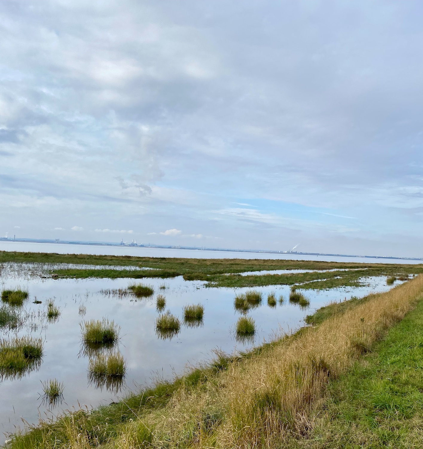
The path widens – marshes on the right, agriculture on the left.
Tufts of marsh grasses sit serenely in the still water……………
And then……what are these? Too large to be cow vertebrae………and how did they get here in the middle of the path? A mystery.
Further up the path stands what can only be called an obelisk, complete with its stainless steel plaques, marking the position of the Greenwich Meridian.
Longitude zero – good place to stop and have a rest.
A mile or so up the path, a couple of students from Hull University are measuring the carbon capture capacity of the marsh – or at least I think that’s what he said.
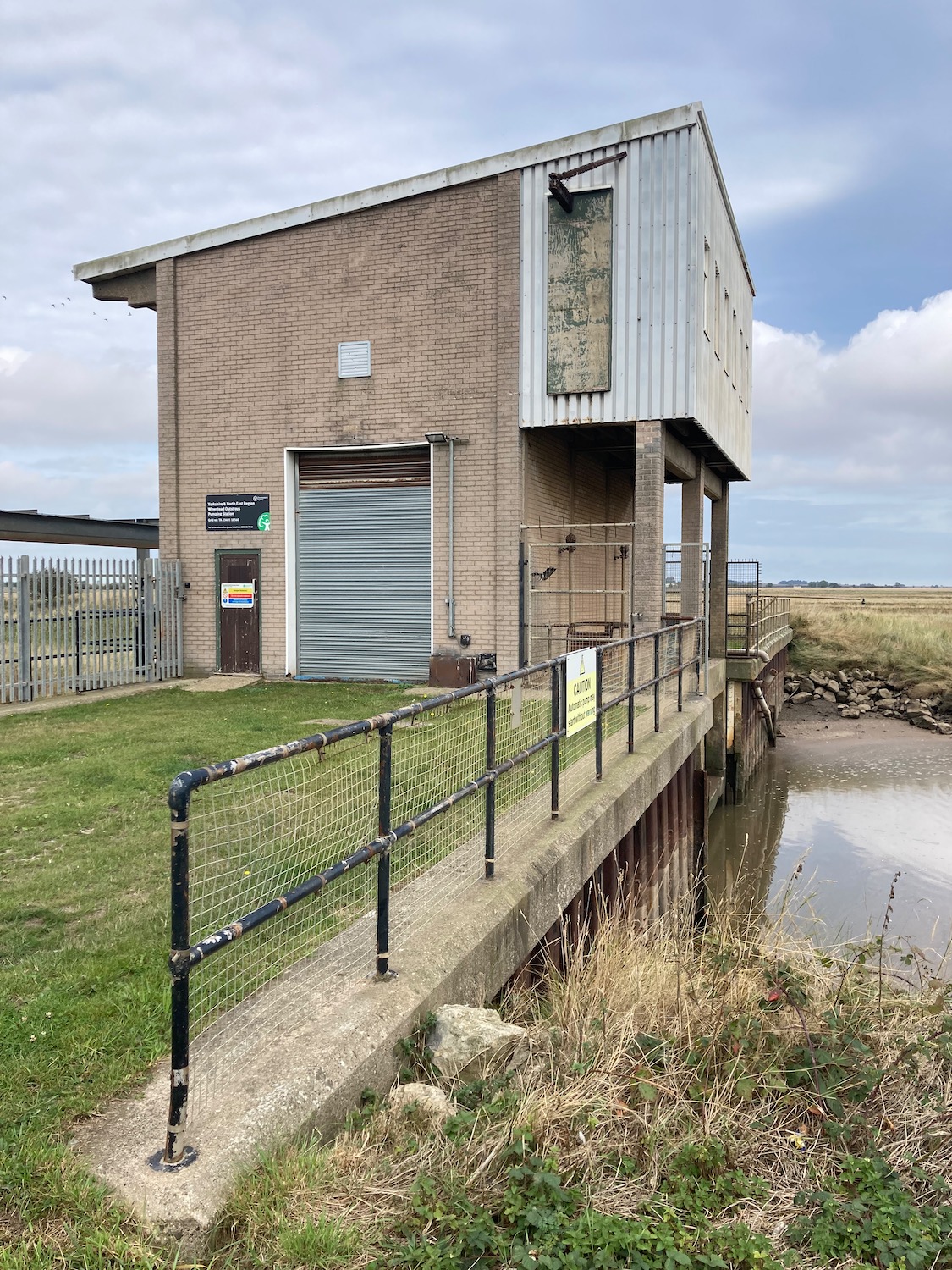
Soon we will have to turn inland as there is no easy way of getting across Patrington Channel.
The pumping station is armed to the teeth with spikes and tall gates and even if we were prepared for a mild impaling, the bog on the other side of it looks impassable. OK ok – we’ll turn round.
Back we go with the drain on our right, down a farm track heading up to a minor road which will take us to our destination. Off to the left a couple of diggers are performing circus tricks – it looks like they are laying the foundations of another embankment.
Another mile and we are approaching Patrington Haven – home to a substantial holiday park where we tried to find a pint and some food last night. Unfortunately the restaurant had burned down some months ago, so all hospitality moved into a marquee AND it was bingo night – didn’t really fancy it.
In the middle of the village stands a strange little building with its own war memorial. Built as a chapel for the Primitive Methodists in 1852, it has obviously been through a few facelifts in its time with rather unhappy results. Primitive Methodists were formed in 1811 as an offshoot of the main Wesleyan Methodist Church. They owe their Evangelical nature to the American movement of the same name, encouraging boisterous camp meetings and full equal status for men and women. The Primitive Methodists were the first to allow the ordination of women to full time ministry.
From here it is just a a short hop to Patrington where we are staying tonight.