Spurn Point and Back 1.7.26

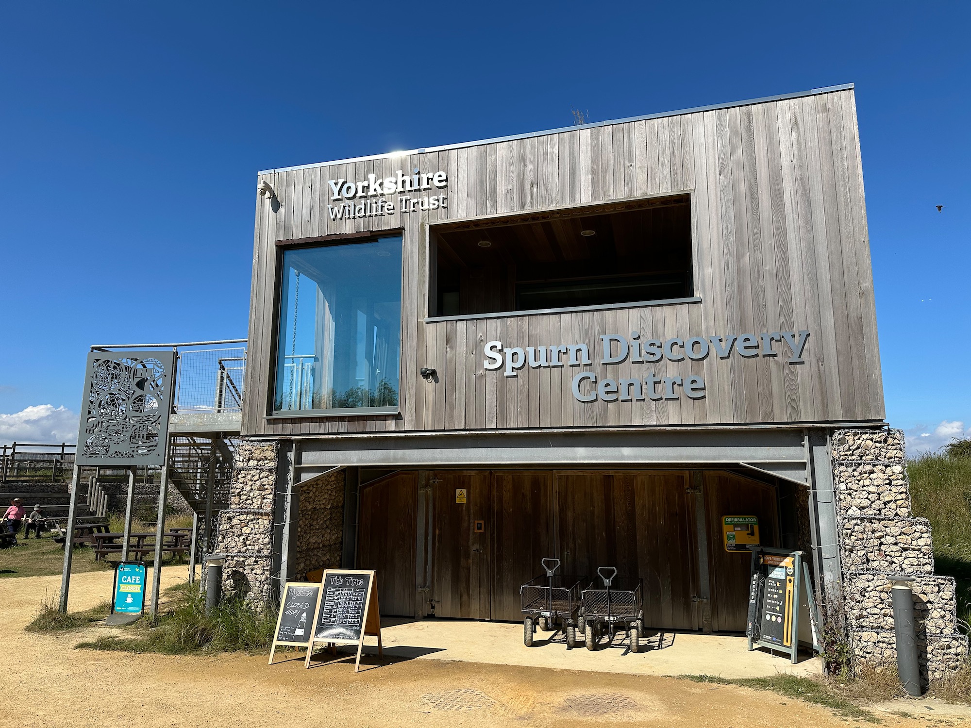
Well, we’re back for breakfast in the delightful Spurn Discovery Centre , joining up a couple of dots and breaking our journey up to Cumbria. It’s going to be a hot day (one of many lately) so I’m lathered in sun cream.
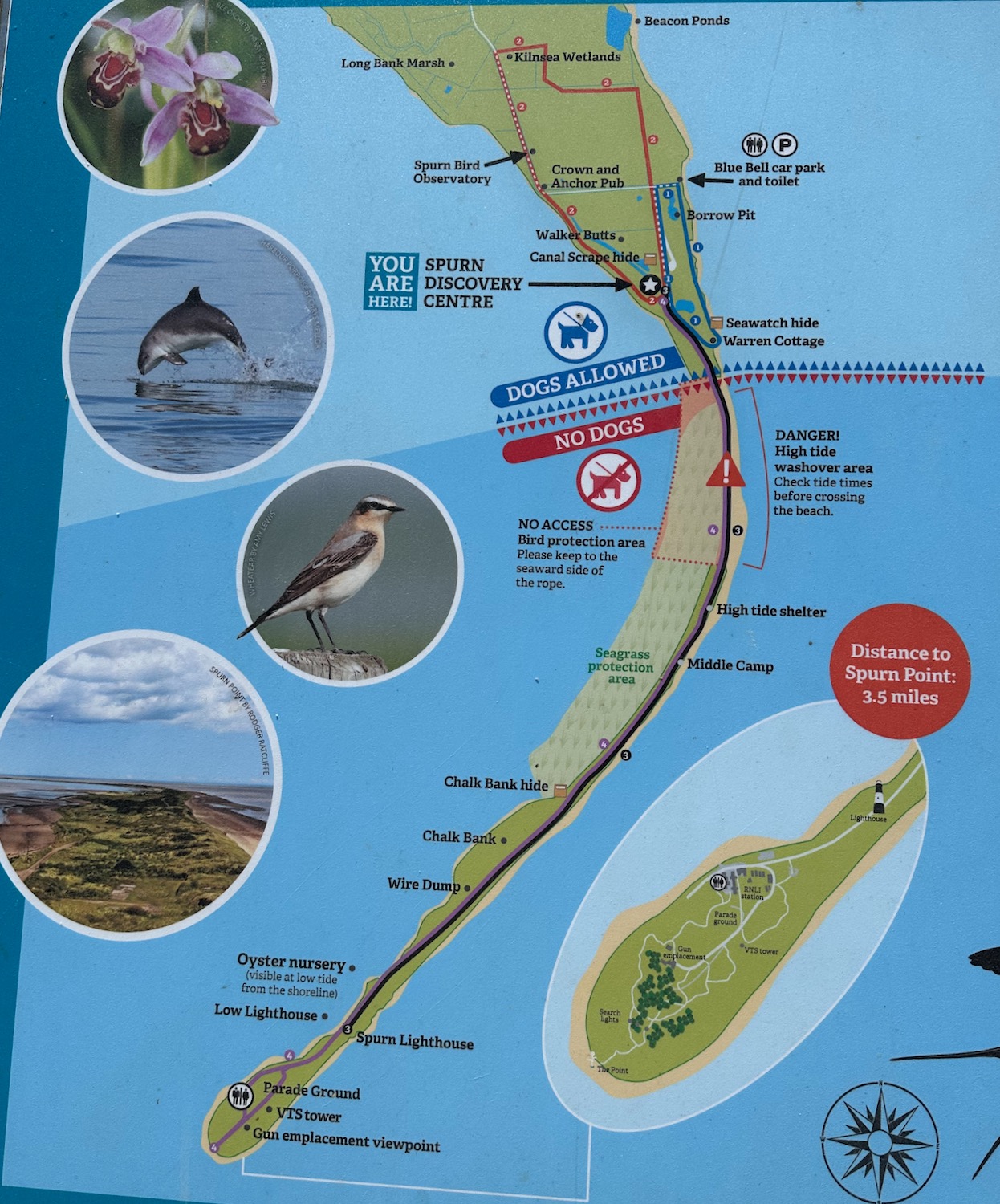
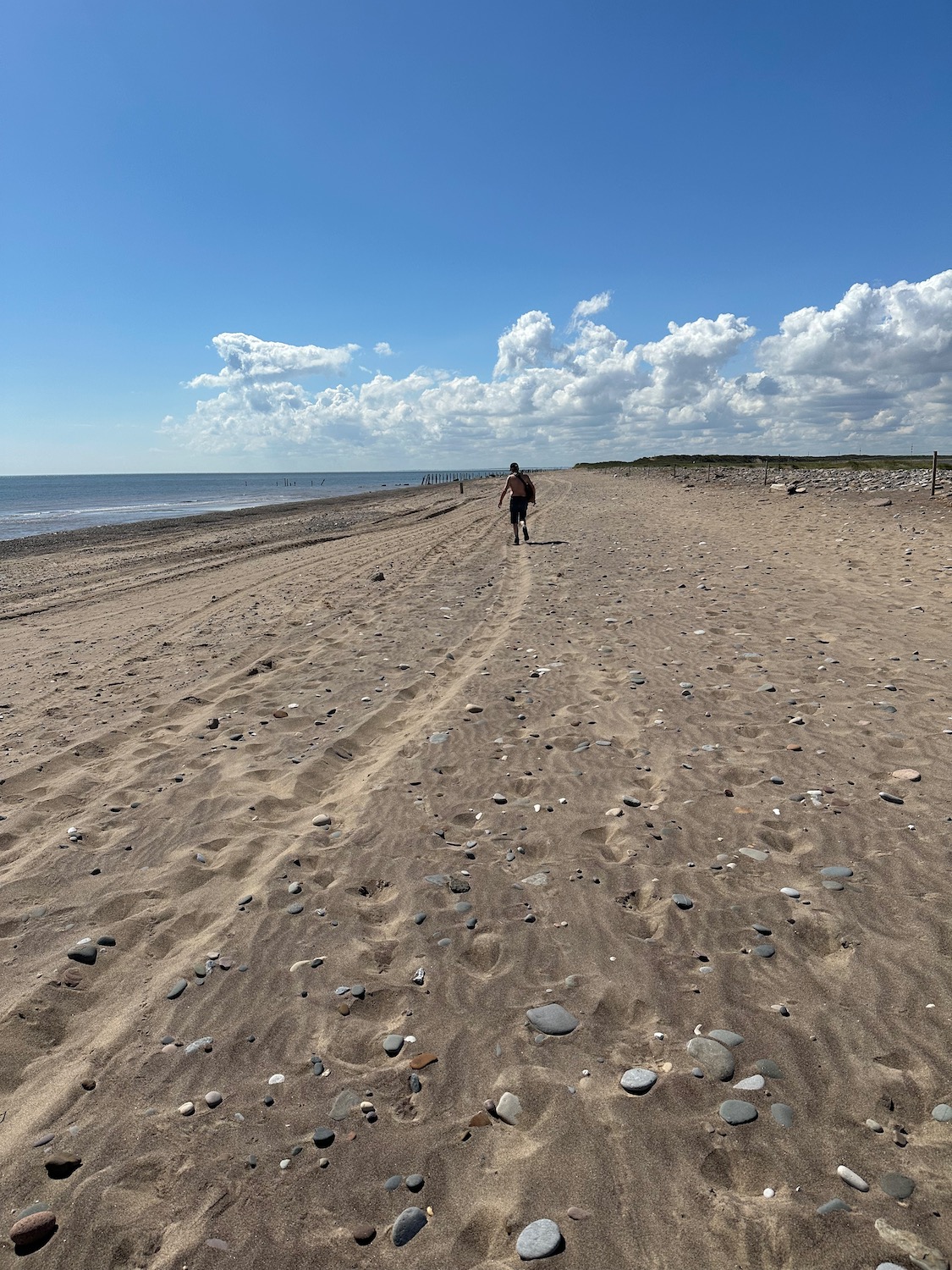
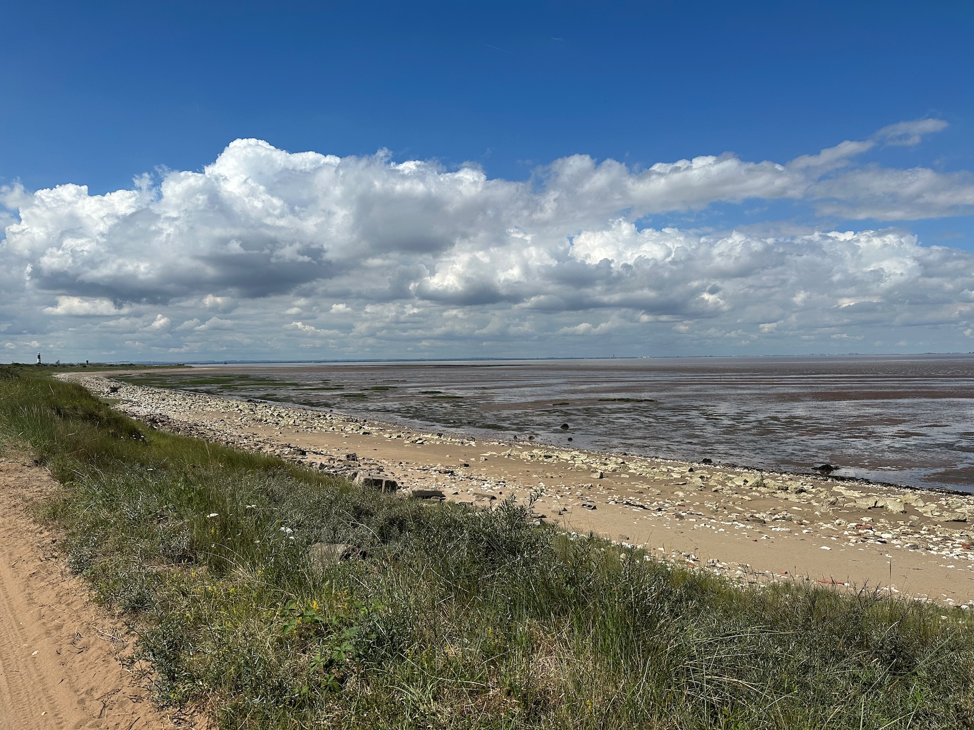
We start on the beach which is hard going in the soft sand, so at the earliest opportunity we join a rough track alongside the vast expanse of mud and sand leading to the mouth of the Humber Estuary. This area is marked as Greedy Gut on the map – a reference to coastal erosion. Locals and mariners historically gave vivid descriptive names to dangerous, shifting guts and channels that seemed to “eat” the neighbouring banks or threaten passing craft.
We pass a few boards with information about the history of the oyster industry in the Humber Estuary which, in the 1800’s, was capable of cultivating 10 million native oysters a year. I love the bowler hats and handlebar moustaches.
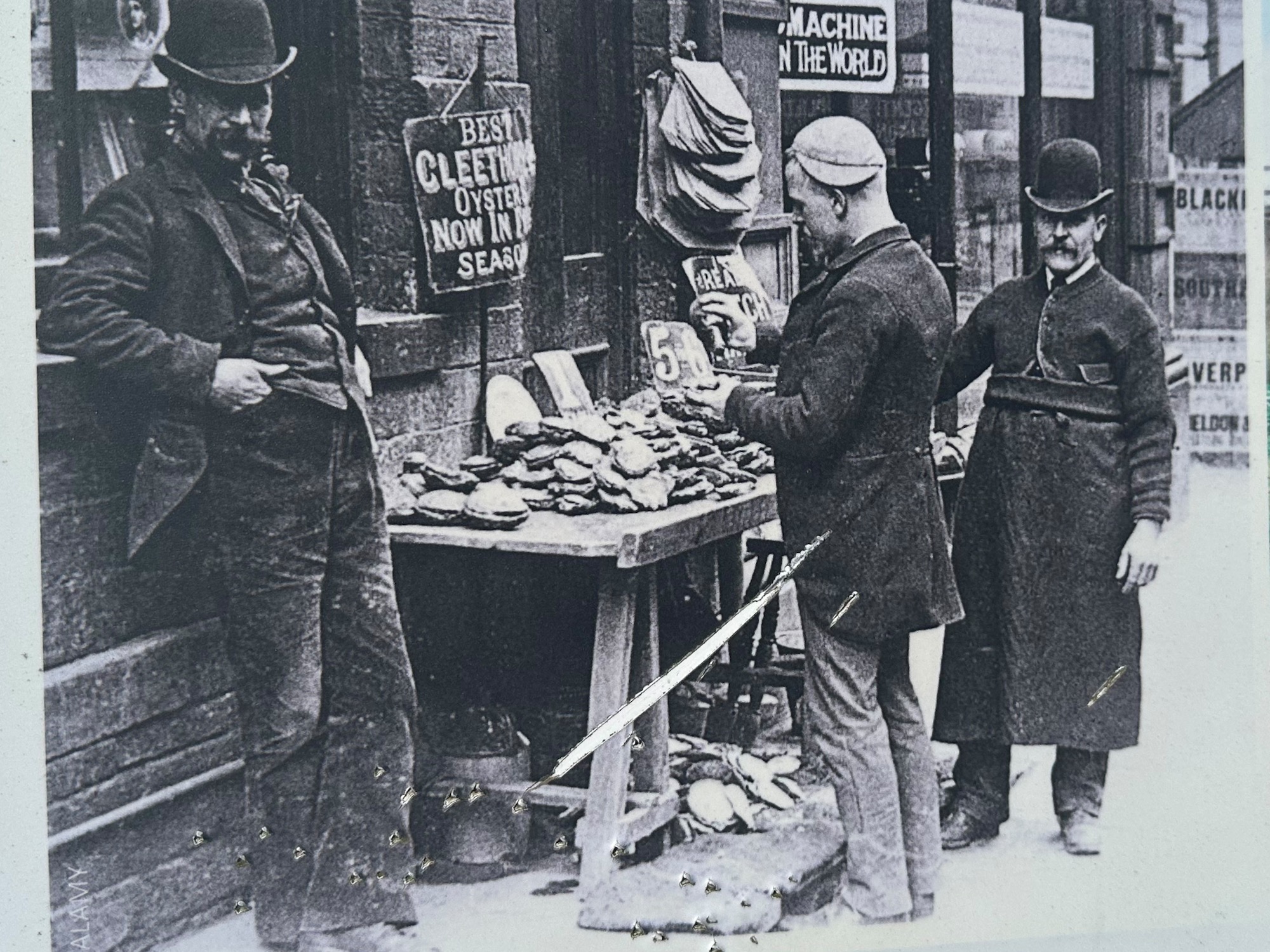
Sadly, by the 1940’s the reefs had disappeared – usual story of unsustainable fishing practices, pollution and rising sea temperatures. In 2019 however conservation work successfully introduced an experimental population of native oysters into the Humber Estuary – still surviving today.

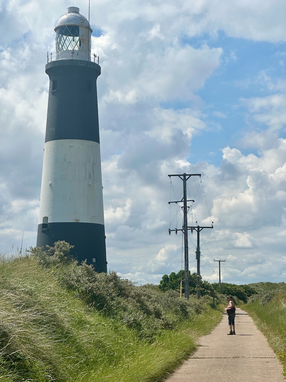
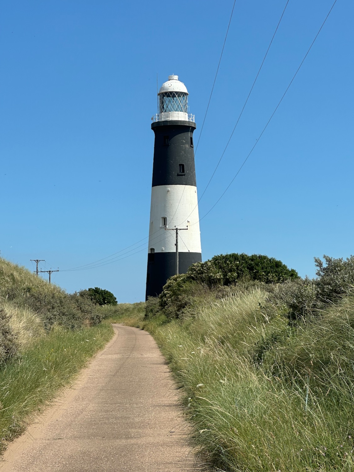
After a mile or so we pass the lighthouse, which is unfortunately closed today – it would have made a welcome escape from the heat.
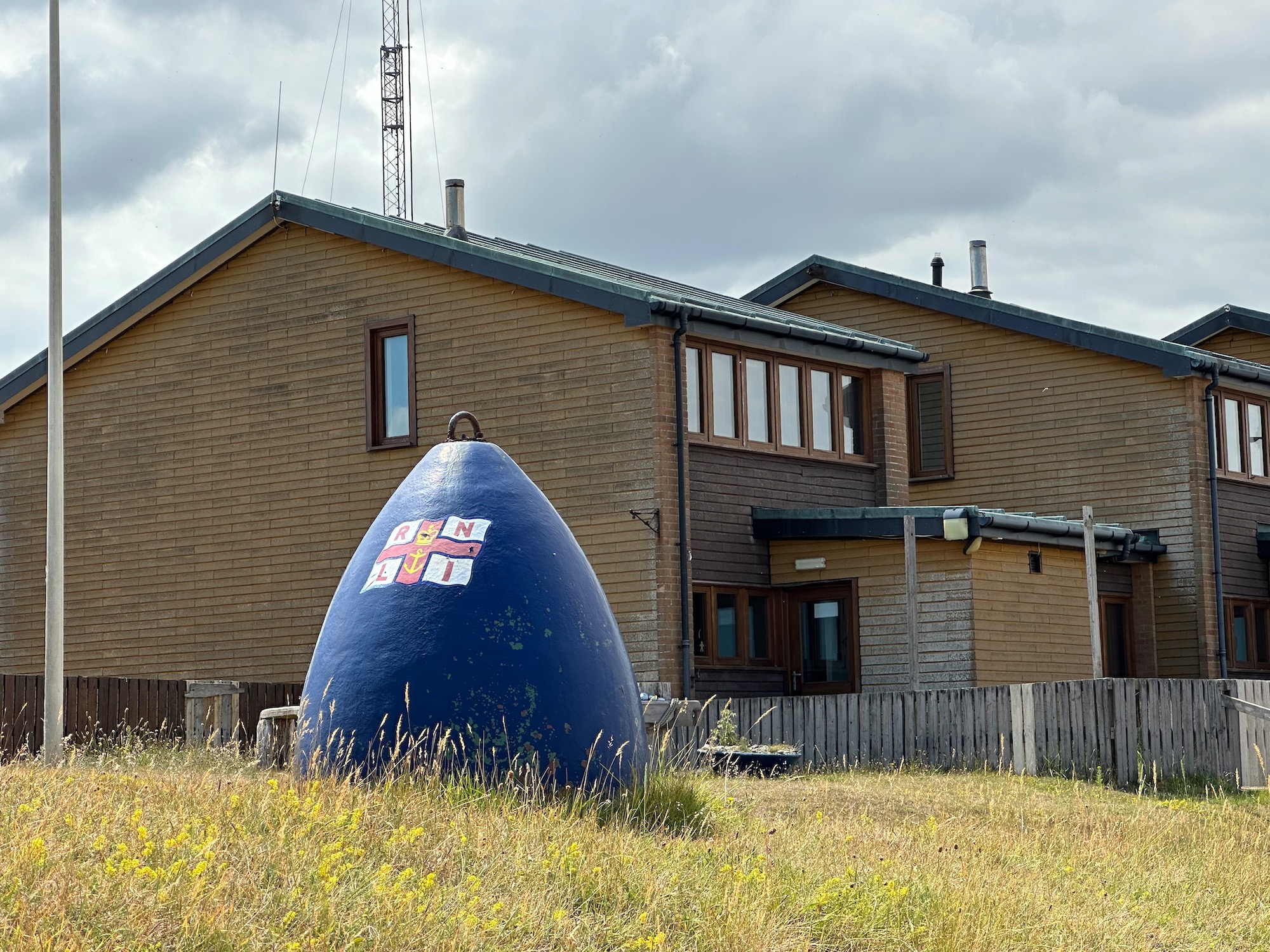
And a little later we reach the buildings of the Humber Pilot Station, set up on Spurn Point to guide large commercial ships safely through treacherous shifting sandbanks and strong tides.
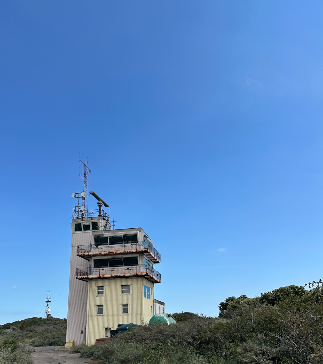
Well, they’re not doing much today – the place is deserted.
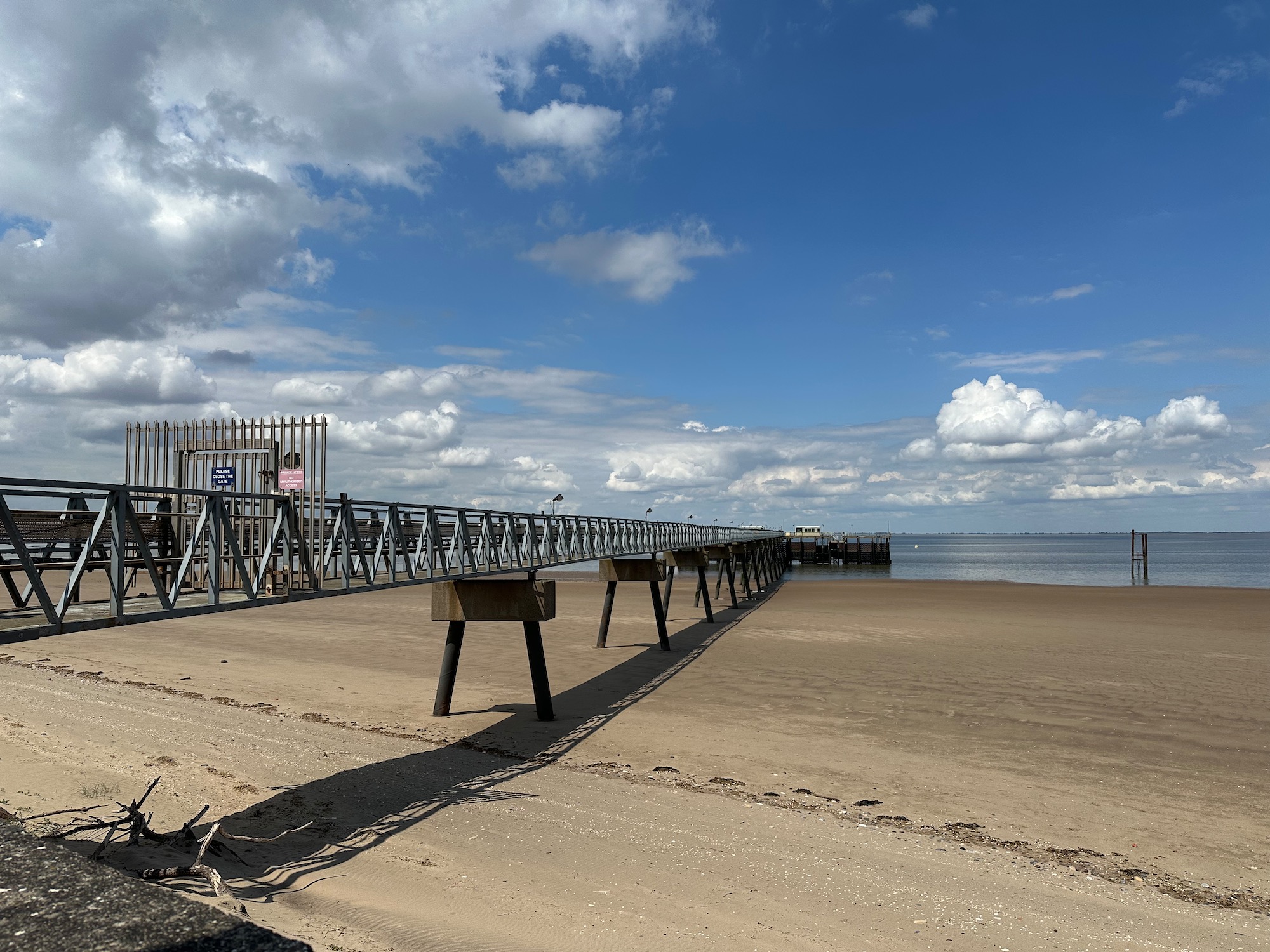
A substantial jetty reaches out into the still waters.
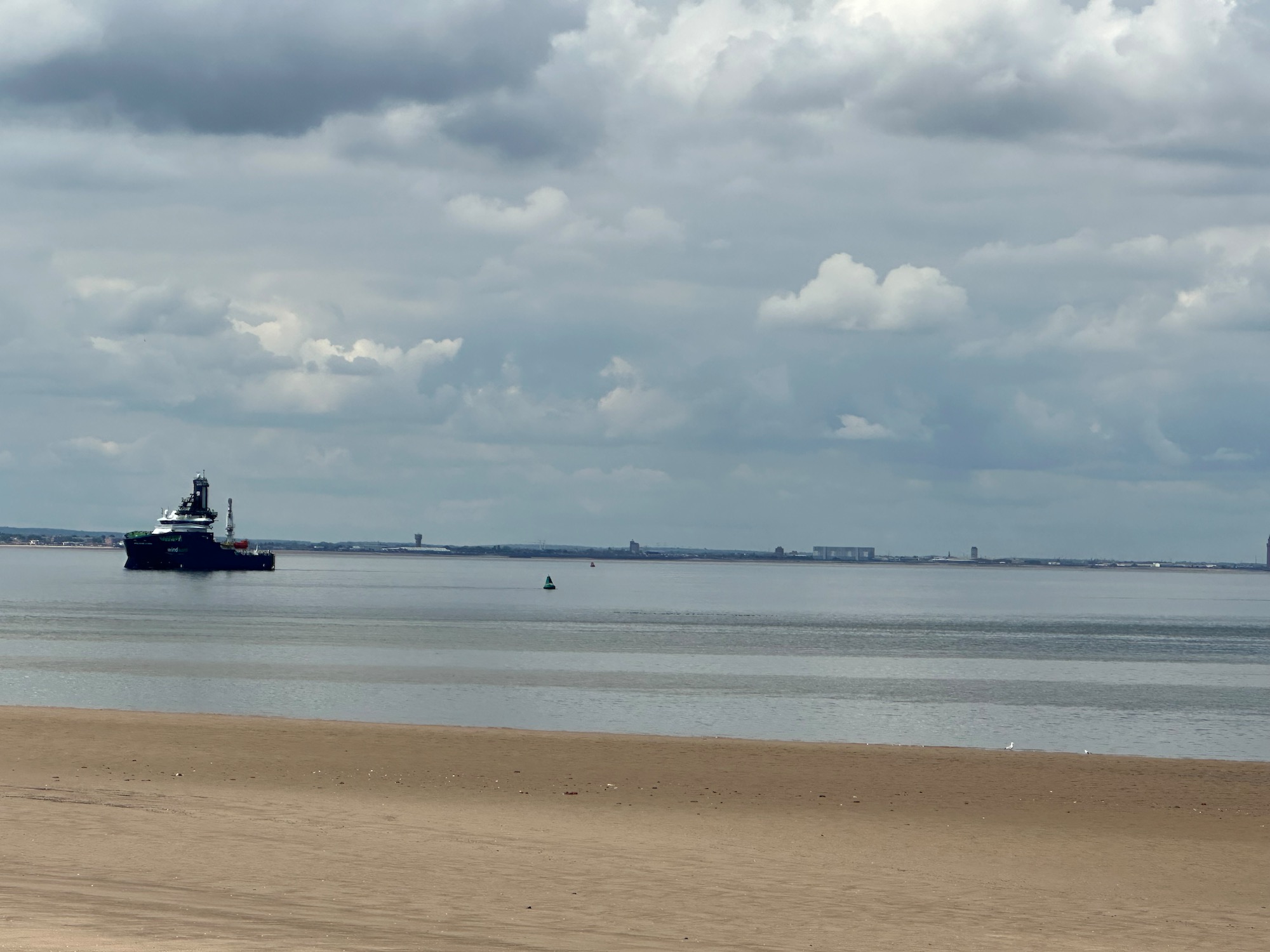
A single ship patrols the area………..
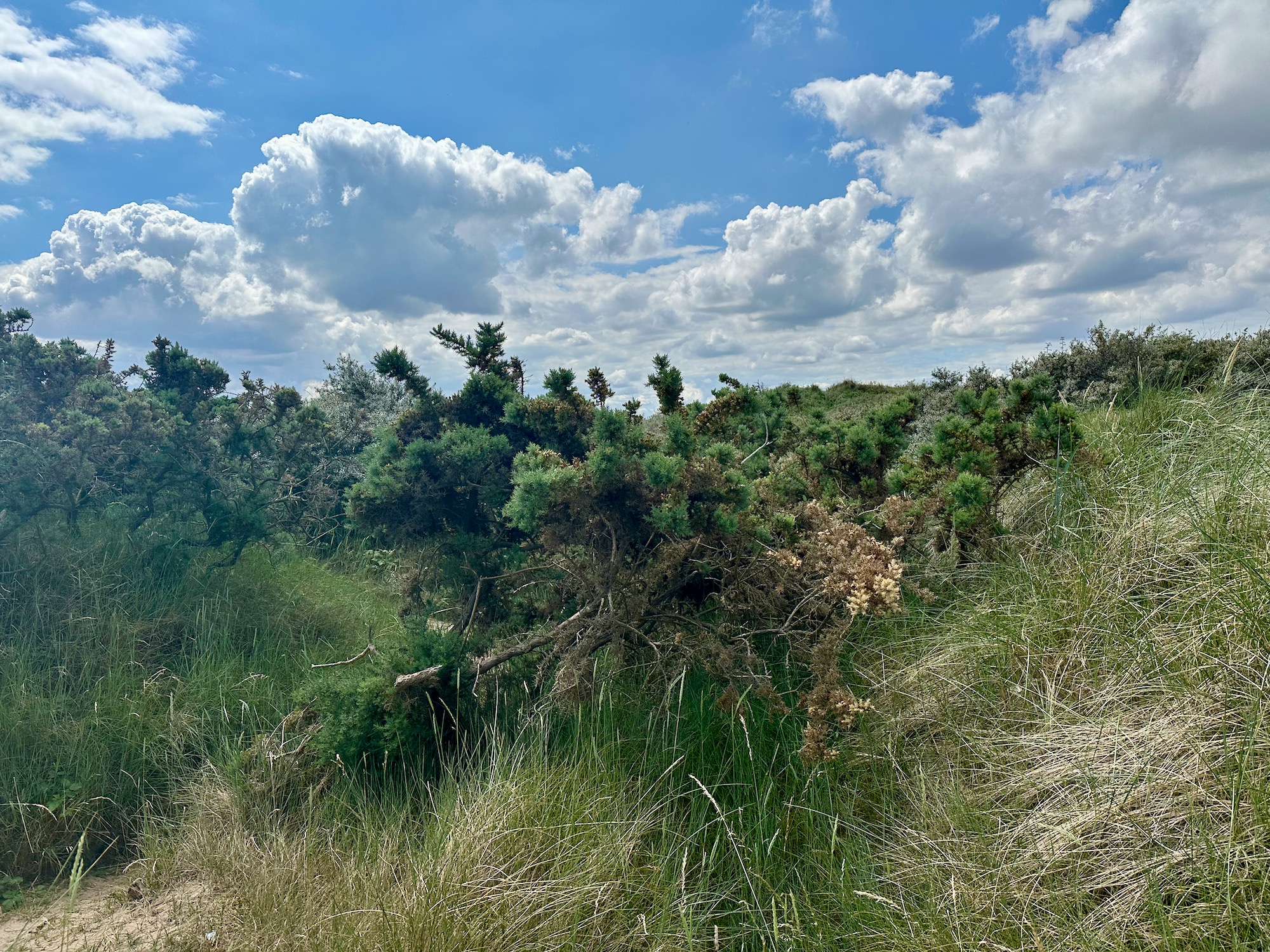
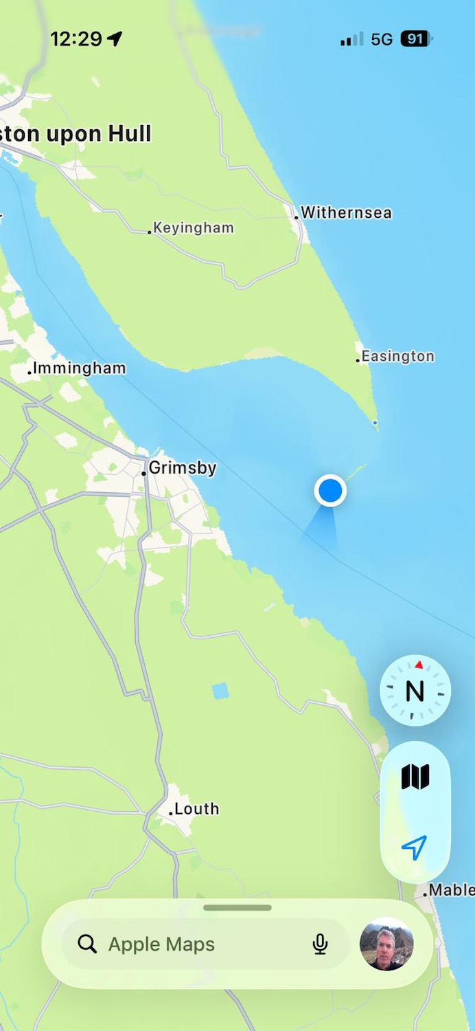
And so we move on, up into an area of impenetrable spiky scrub – no sign of a path and not really anywhere we can plant our flag and claim to have reached The Point
But of course we have…………………………the blue dot marks the spot.
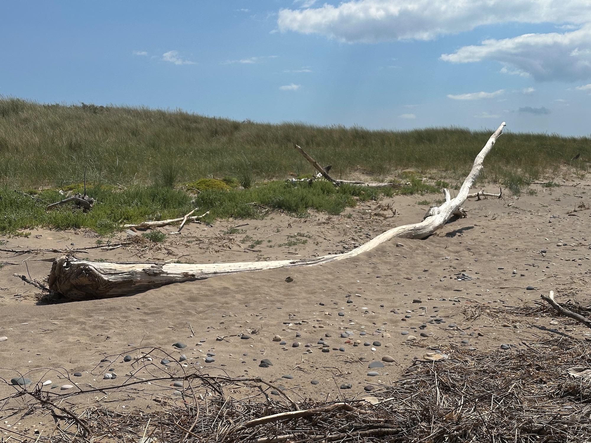
So we retreat and move onto the beach, having elected to walk around the Point and back by another route. Would like to take this piece of driftwood home with me.
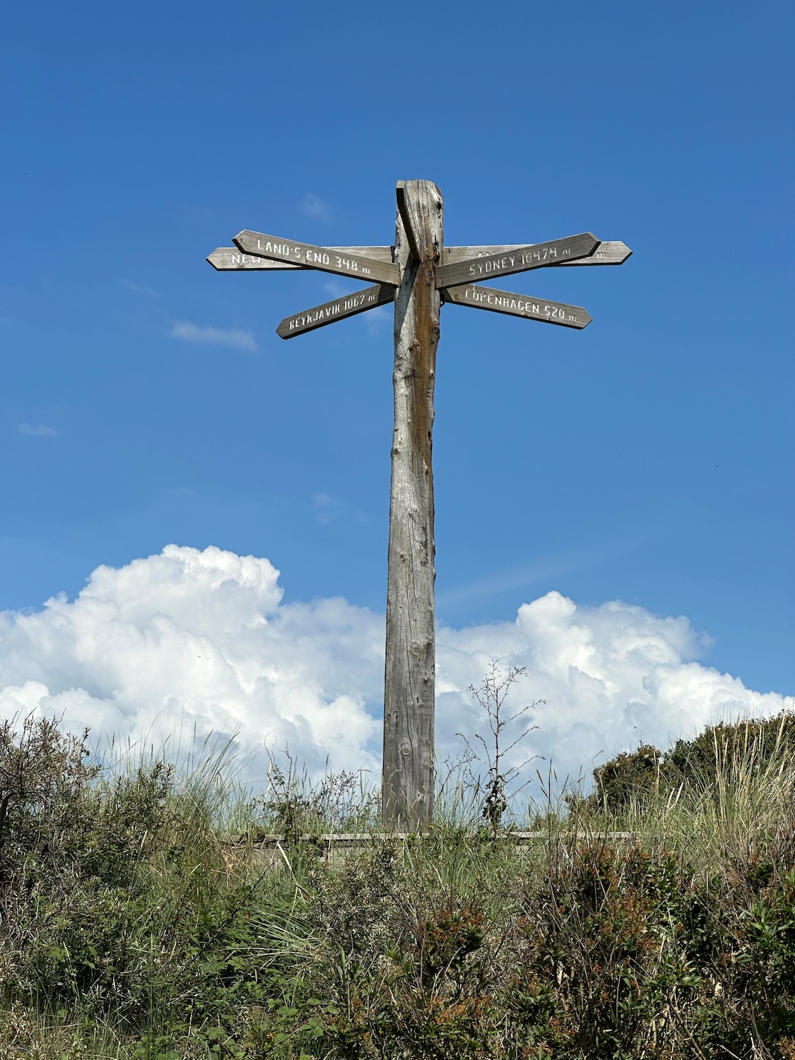
We are now looking for a path off the beach and this is what I was looking for………..Copenhagen 520 miles…………..in another life.
The path leads us up into the dunes and runs back to the road we came up on – we get another look at this lovely old lighthouse.
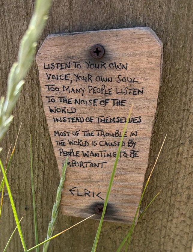
And fencepost philosophy on the road home……………
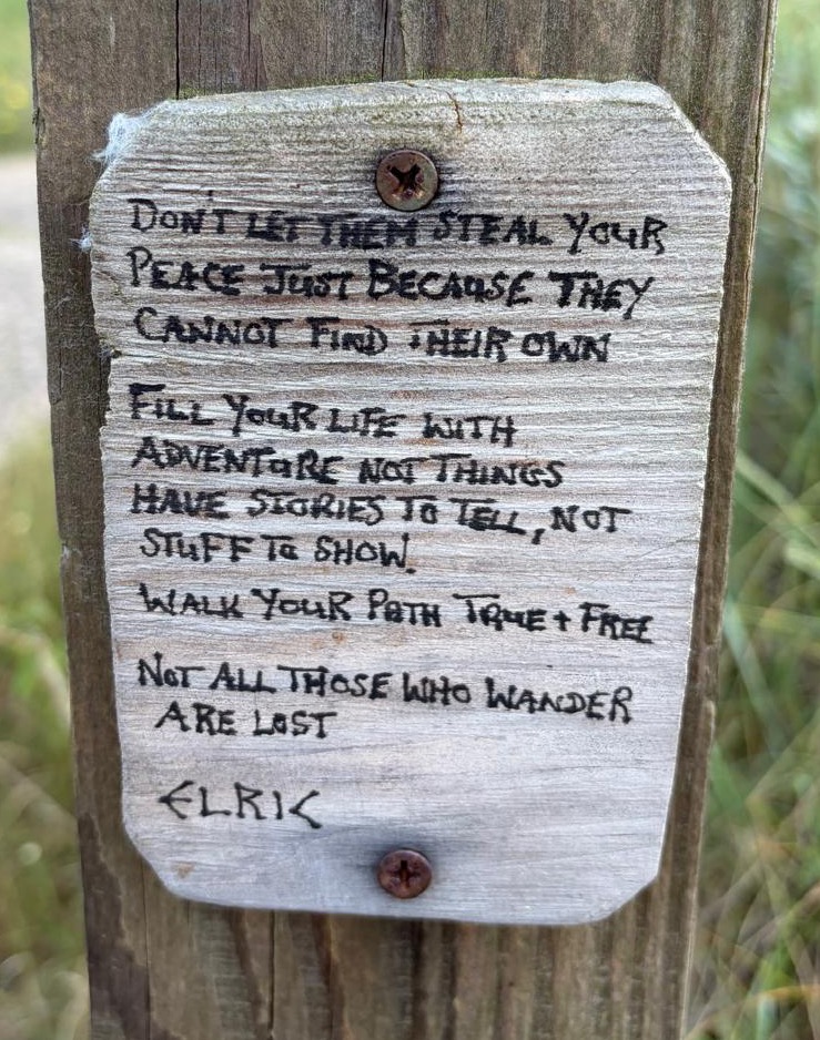
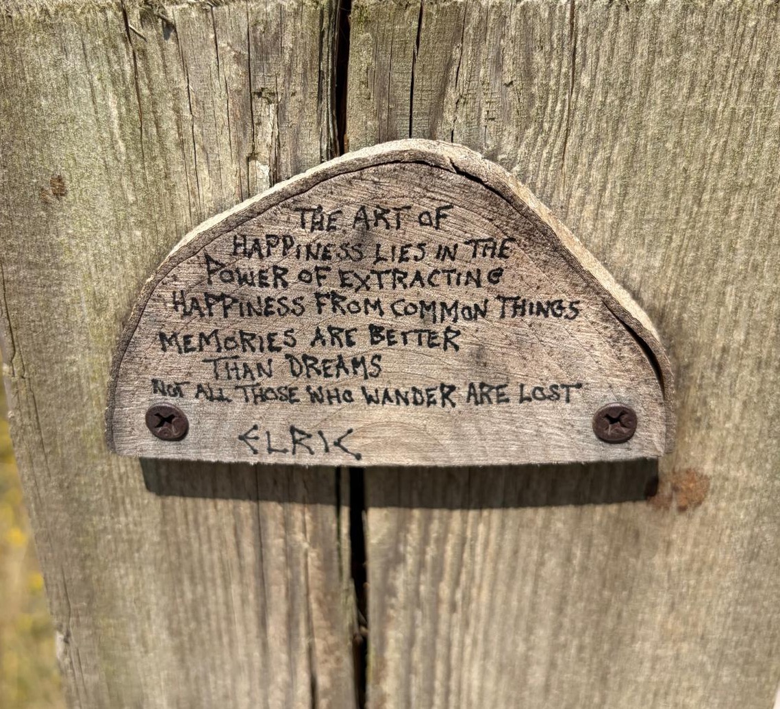
Couldn’t have put it better myself……………………..

Distance: 9 miles

Crimdon Dene to Seaton Carew 11.3.25

We phone and ask if we can leave the car in the caravan park, as it’s very low season and the place is a ghost town – the woman on the other end of the phone almost gleefully says no. So it’s an Uber that drops us just inside the entrance, and we spend a bit of time lurking around, looking in a few caravan windows and trying to find the path that will lead us down to the coast.

Continue reading

Stone Creek to Patrington 25.9.24

Our taxi drops us near the Coastguard Cottages at Stone Creek – last time we were here we turned right, this time it’s left. In front of us are a few small boats, beached on the muddy banks of the creek – I notice a car.

Hunting around for the path I notice a grizzled middle aged man in a boiler suit loping towards us. I shout “Excuse me, is this the footpath?” pointing to a narrow gap in the bushes. “The footparth” he says with a twinkle in his eye, “Is that the footparth you’re looking for Madam?” It takes me a couple of seconds before I realise he’s mocking my southern accent – northerners would of course pronounce “path” with the same vowel sound as in “apple” I burst out laughing and he grins, showing us exactly how few teeth he has left. He introduces himself as the Harbourmaster and we stop for a chat.

Moving on we pass a sign informing us that this is a permissive path through the rural parish of Sunk Island. Originally a sandbank in the middle of the Humber Estuary, the island was gradually built up by tidal deposits and became permanently above water in the late 16th century. It is now part of the mainland and is well known for its fertile soil.

Damian takes a minute to check his phone………….

The path widens – marshes on the right, agriculture on the left.

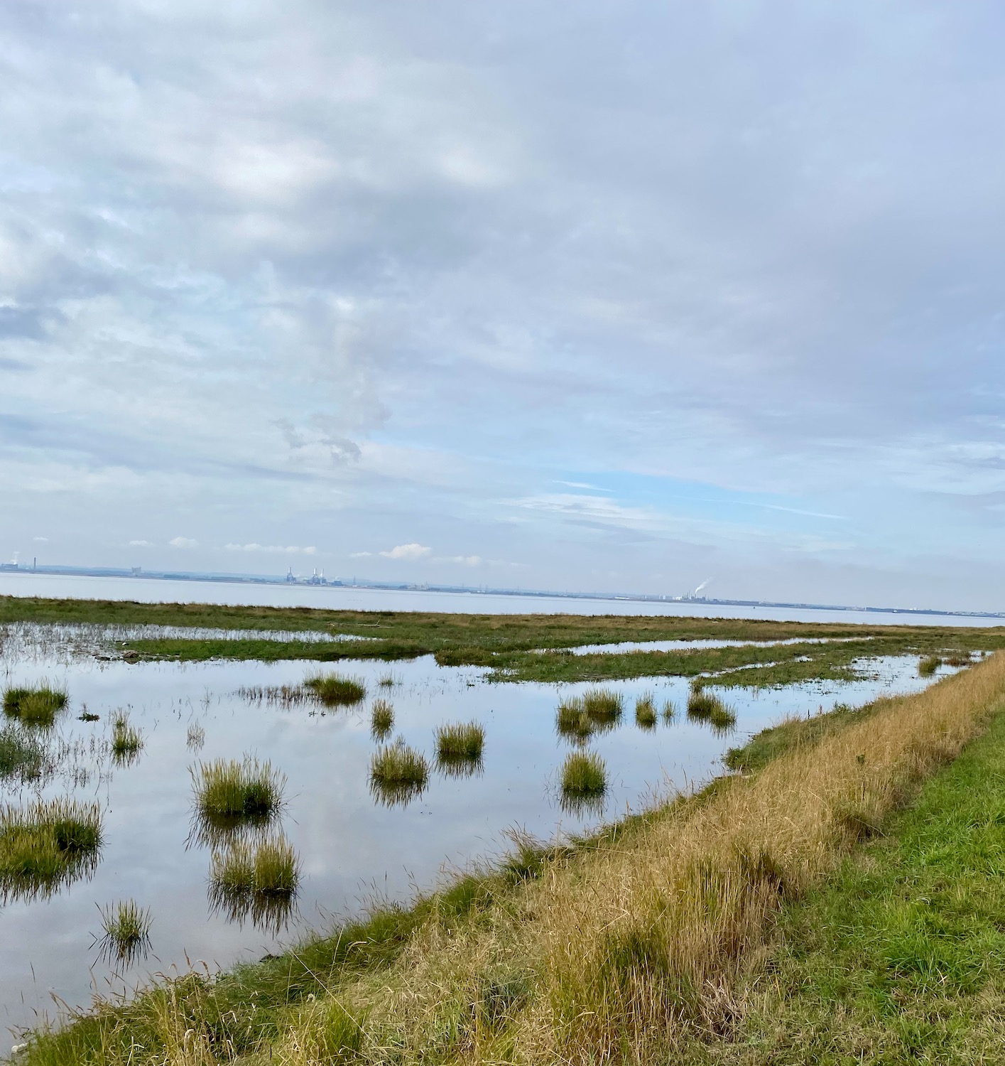
Tufts of marsh grasses sit serenely in the still water……………

And then……what are these? Too large to be cow vertebrae………and how did they get here in the middle of the path? A mystery.

Further up the path stands what can only be called an obelisk, complete with its stainless steel plaques, marking the position of the Greenwich Meridian.

Longitude zero – good place to stop and have a rest.

A mile or so up the path, a couple of students from Hull University are measuring the carbon capture capacity of the marsh – or at least I think that’s what he said.

Soon we will have to turn inland as there is no easy way of getting across Patrington Channel.

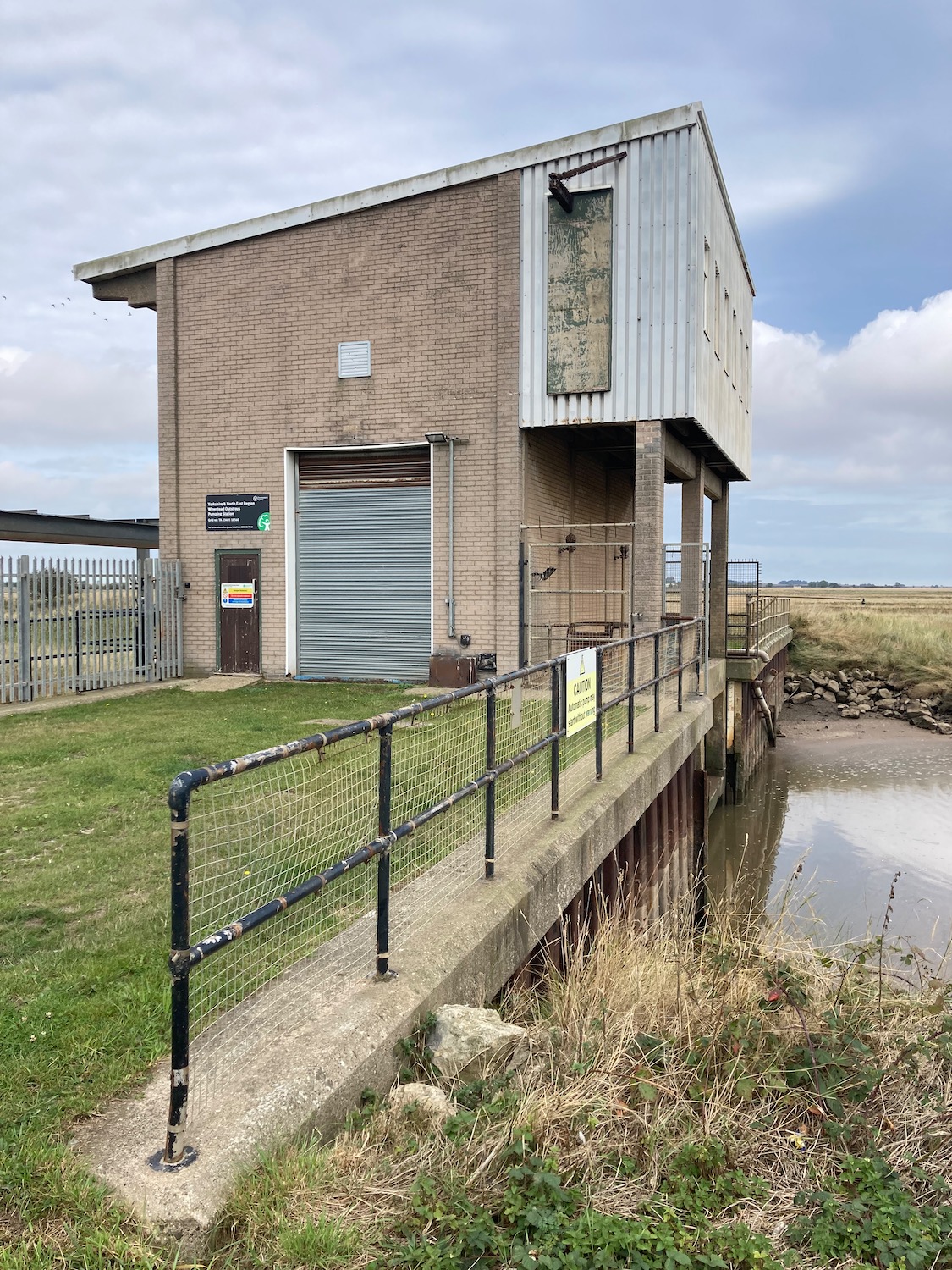
The pumping station is armed to the teeth with spikes and tall gates and even if we were prepared for a mild impaling, the bog on the other side of it looks impassable. OK ok – we’ll turn round.

Back we go with the drain on our right, down a farm track heading up to a minor road which will take us to our destination. Off to the left a couple of diggers are performing circus tricks – it looks like they are laying the foundations of another embankment.

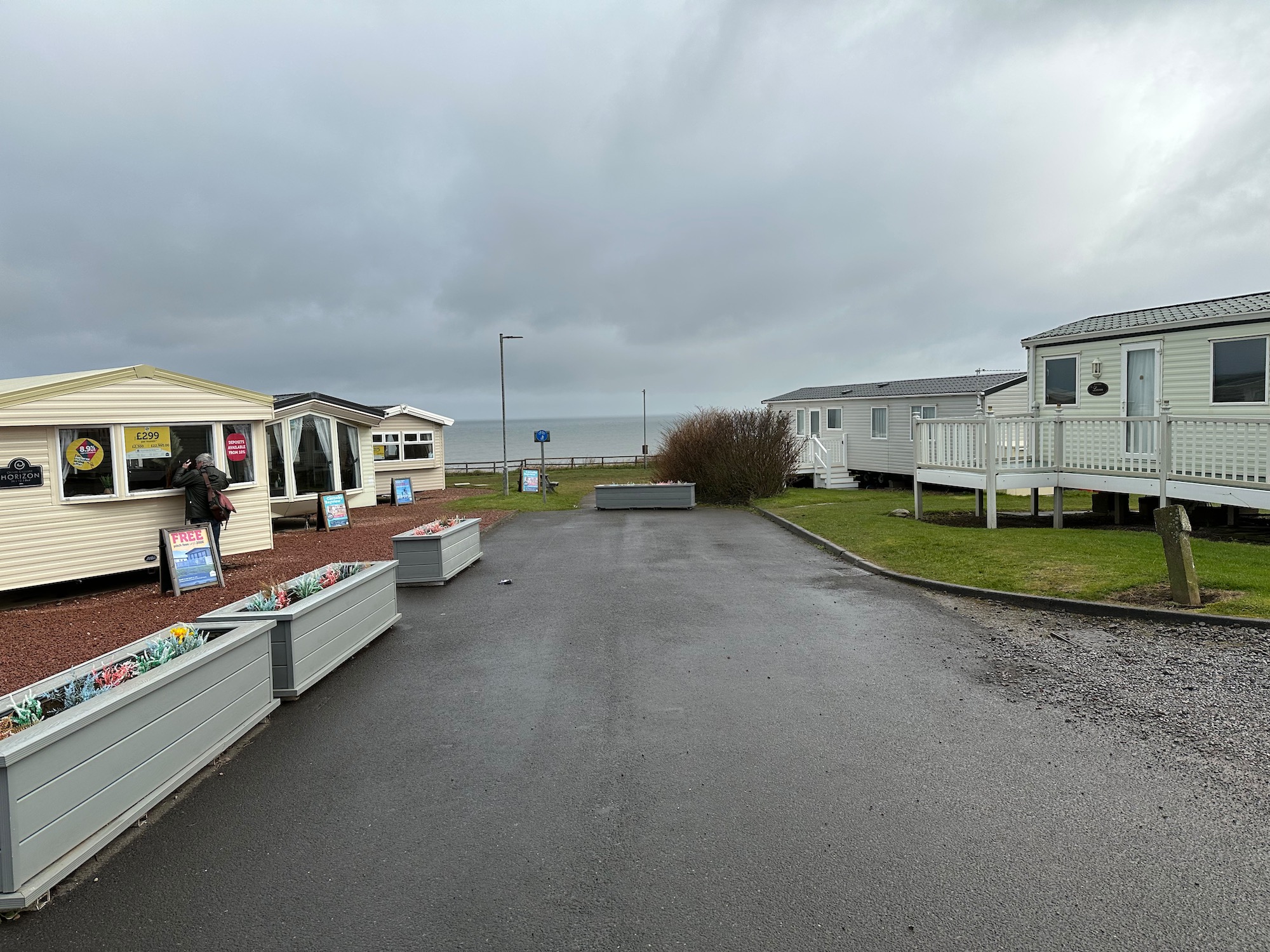
Another mile and we are approaching Patrington Haven – home to a substantial holiday park where we tried to find a pint and some food last night. Unfortunately the restaurant had burned down some months ago, so all hospitality moved into a marquee AND it was bingo night – didn’t really fancy it.

In the middle of the village stands a strange little building with its own war memorial. Built as a chapel for the Primitive Methodists in 1852, it has obviously been through a few facelifts in its time with rather unhappy results. Primitive Methodists were formed in 1811 as an offshoot of the main Wesleyan Methodist Church. They owe their Evangelical nature to the American movement of the same name, encouraging boisterous camp meetings and full equal status for men and women. The Primitive Methodists were the first to allow the ordination of women to full time ministry.

From here it is just a a short hop to Patrington where we are staying tonight.

Distance: 10 miles