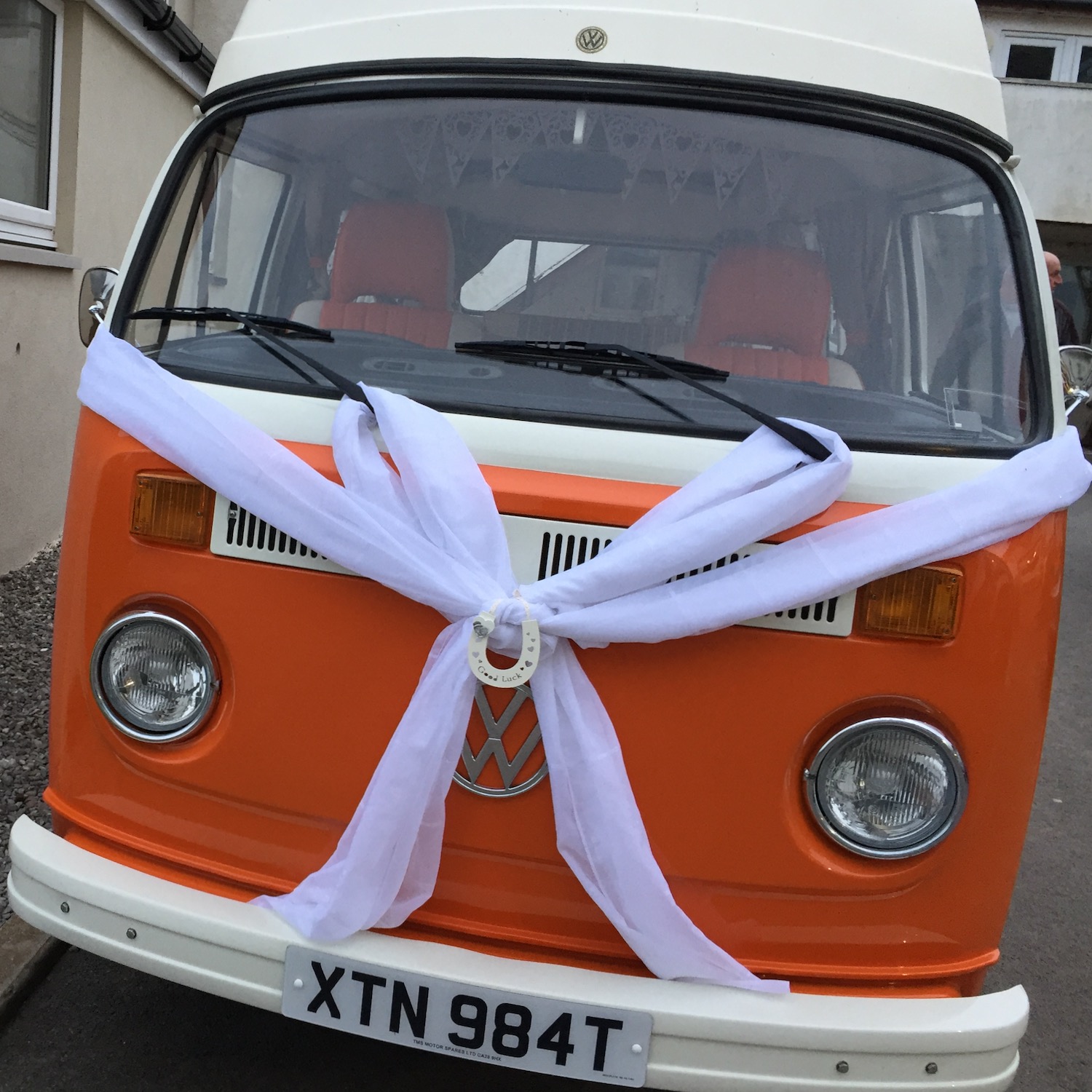
Back in 2017 we spent a night in a hotel at St. Bees, on our way up to Gretna Green to get married. This is not our van but it seemed appropriate at the time. Today we are setting out from the same hotel to drive to Drigg – a village some 13 miles down the coast – and then walk back.
Since writing the last post I have realised that my excitement about landing on Lindisfarne was premature – we actually have one more walk to do before our two night stay on the Holy Island. And this is it…..
Back in Walworth again we cross the road bridge and turn right up St. Oswald’s Way, turning left onto the coast path. For those who don’t know, (myself included), Oswald was the son of the pagan King Æthelfrith of Northumbria. After his father’s death, Oswald and brother were expelled from the kingdom by their wicked uncle and fled to Iona where they were converted to Christianity. On his return, to take back the throne, Oswald was venerated as a saint and introduced Celtic Christian missionaries to his kingdom. The long distance pilgrimage route named after him runs from Hadrian’s Wall to Holy Island Lindisfarne but more on that later.
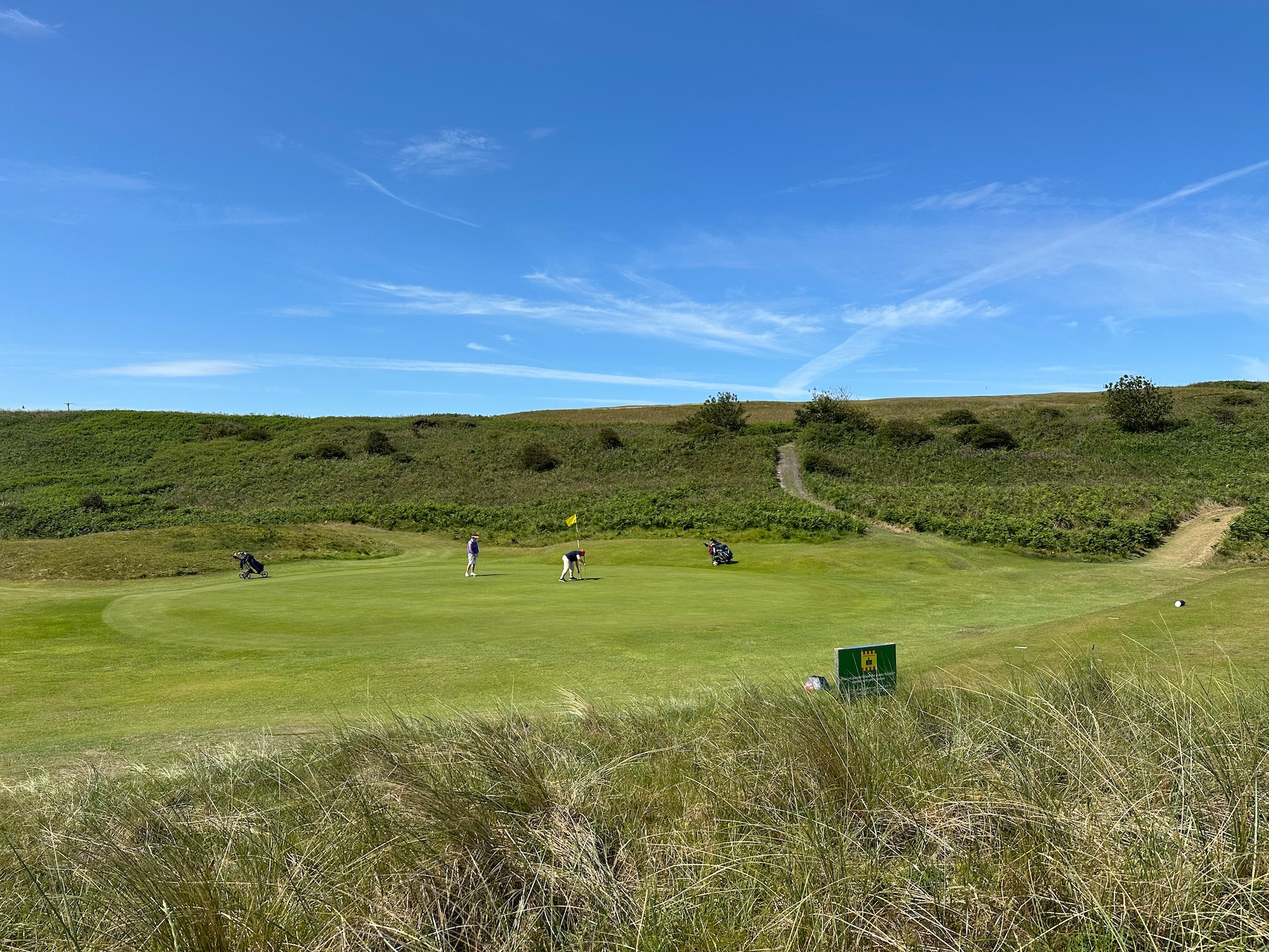
It is another beautiful day – we walk past the golf course and along the path overlooking the beach.
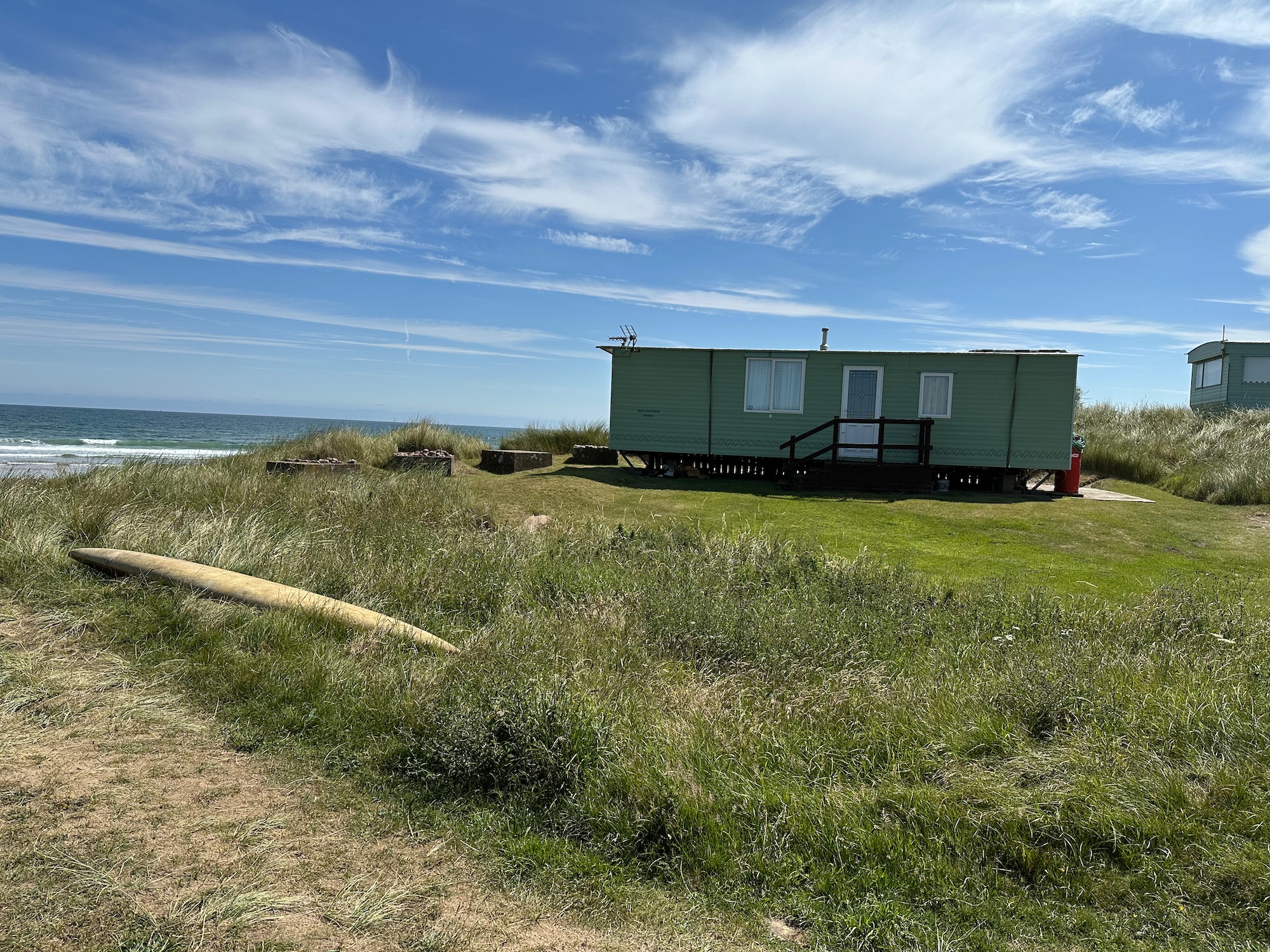
At a place called Northfield a scattering of caravans look out to sea – what a wonderful location.
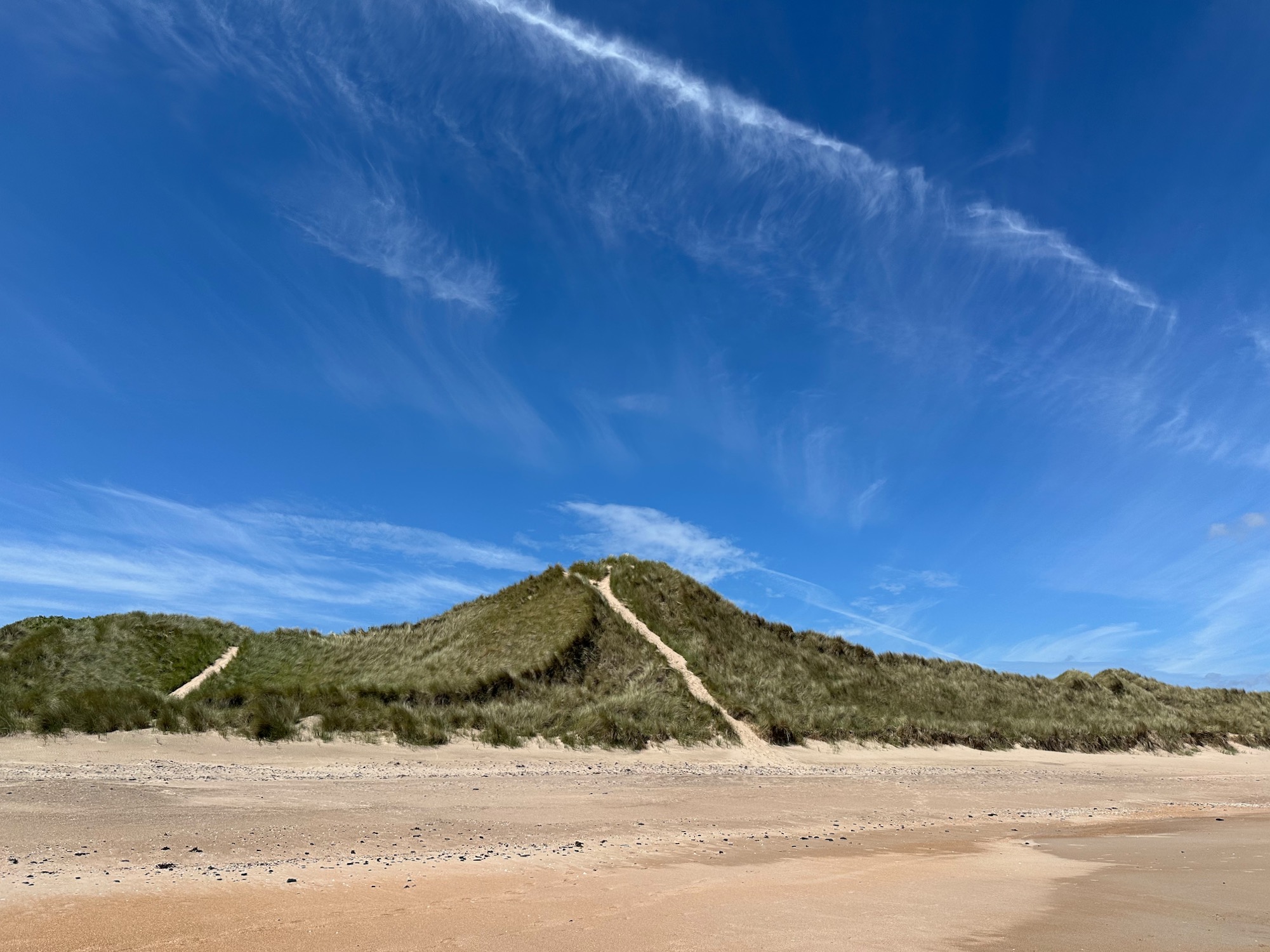
The path now leads us into Almouth Dunes and after a short stretch of trudging through the sand we decide to take to the beach.
I’m afraid this is yet another image of a pristine sandy beach stretching out as far as the eye can see.
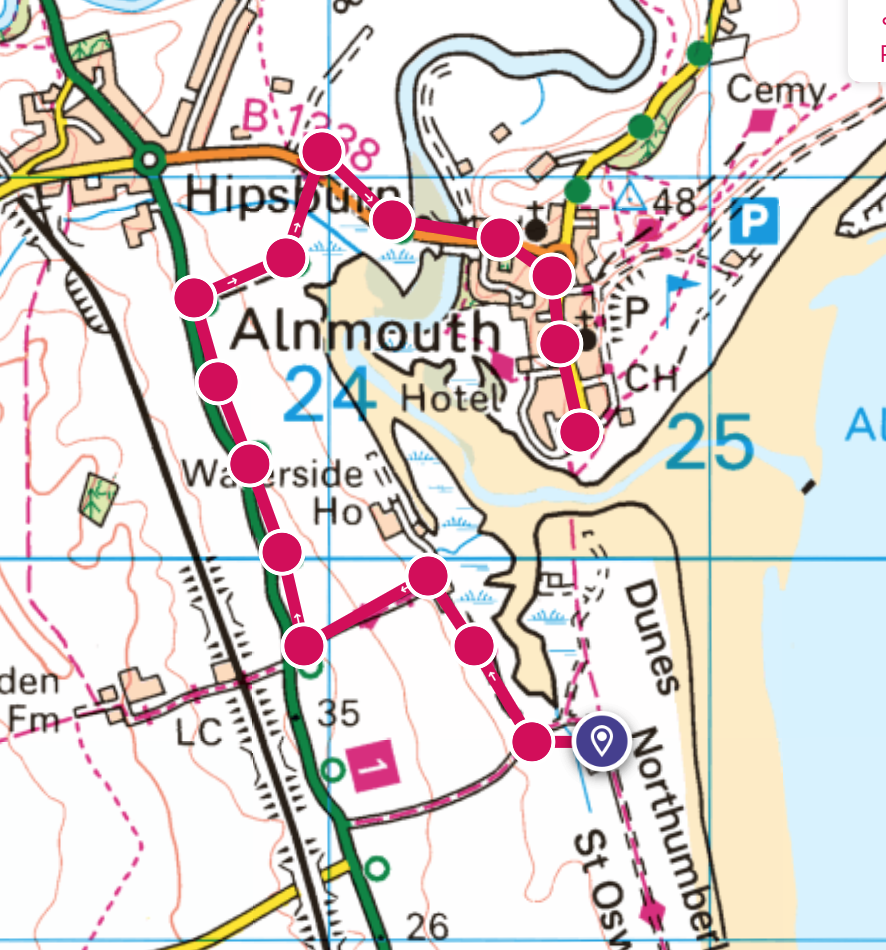
As we approach Alnmouth, we meet a couple coming the other way and I ask whether they have managed to cross the estuary – no is the answer, the tide is coming in. This leaves us with a long hot detour on a cycle route, over a road bridge and eventually into the town.
We pass fields of cows lazing in the sunshine – I envy them.
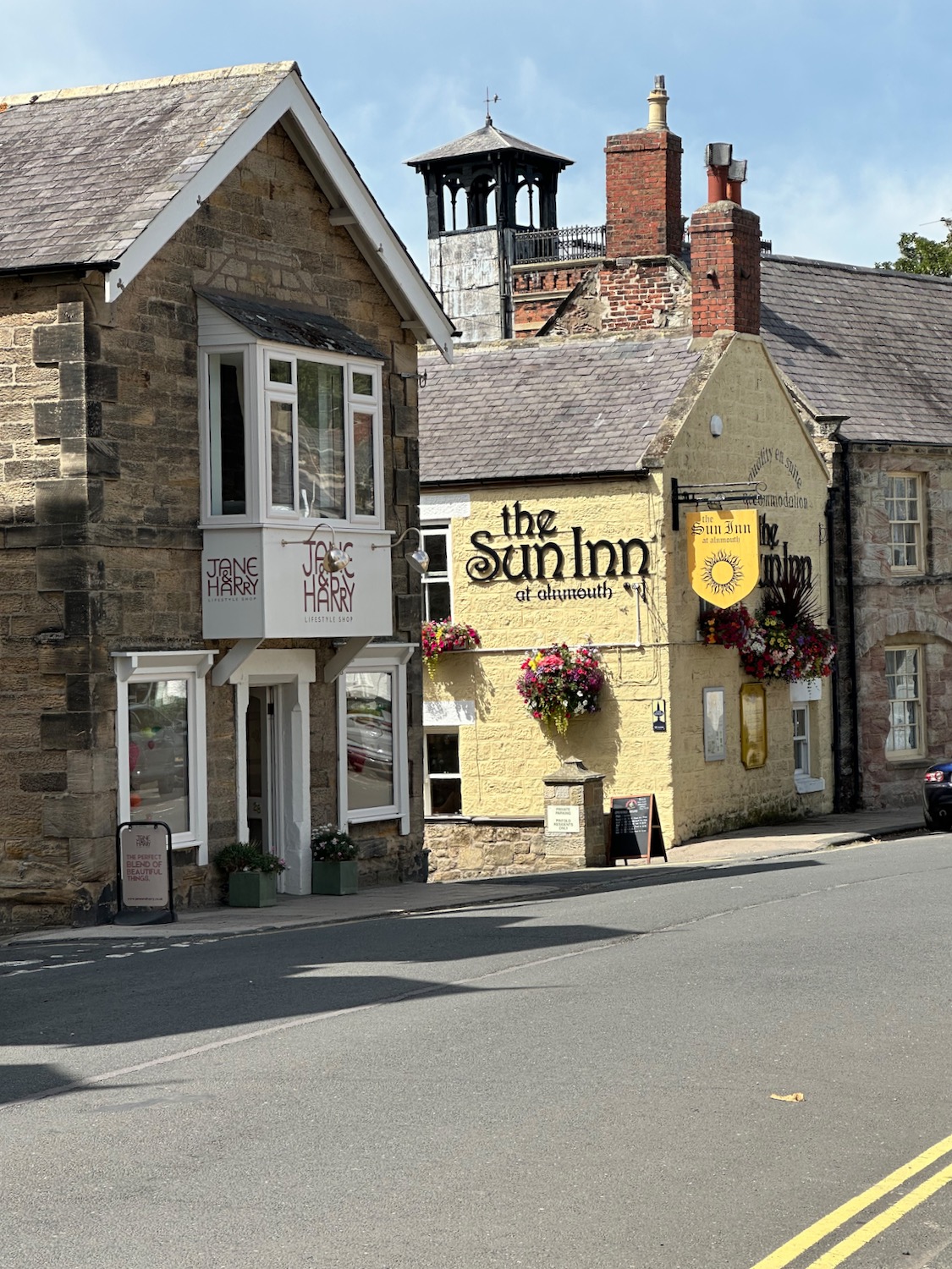
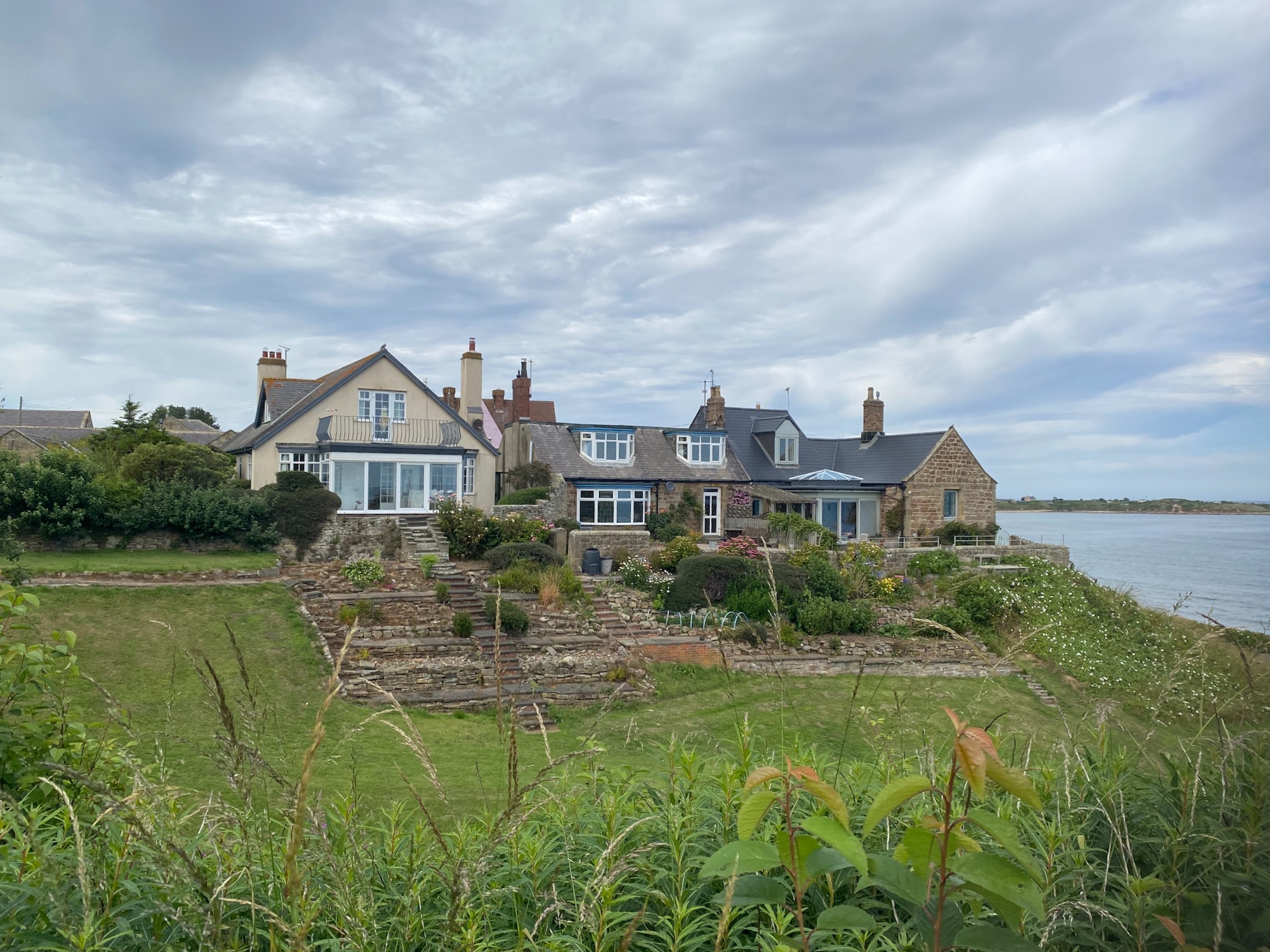
Alnmouth looks pretty but we have lunch and coffee with us so we don’t stop.
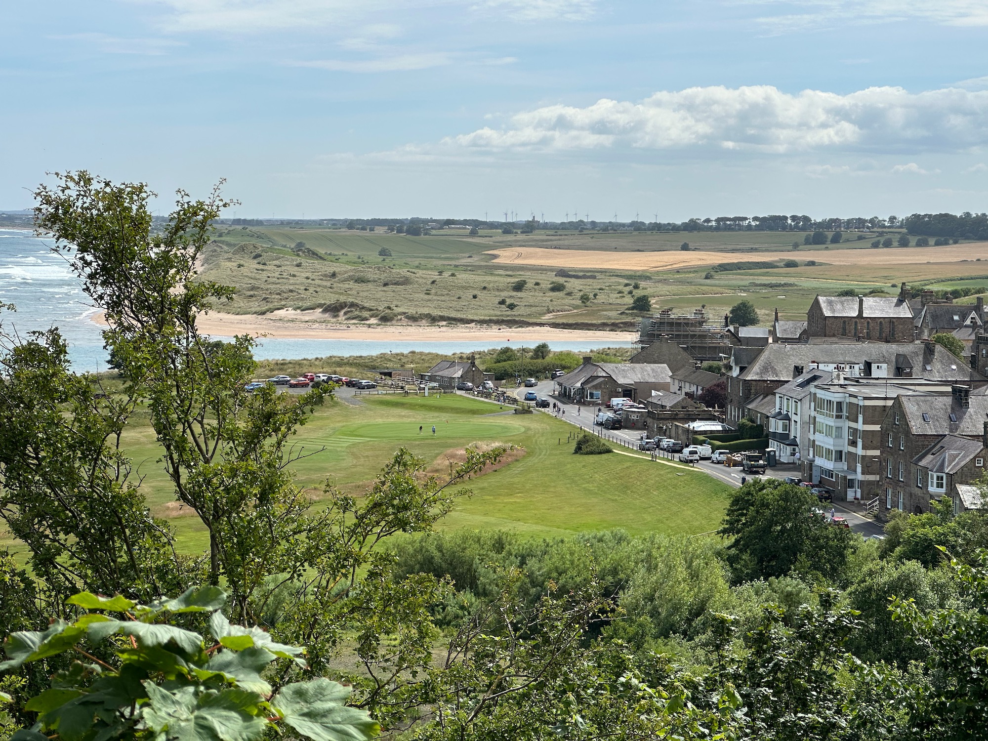
Walking up and out of the town I look back to confirm that the estuary crossing is now impossible.
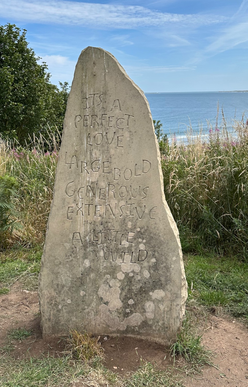
We reach Bracken Hill where a stone has been erected bearing an inscription which is apparently part of a poem by Judith Hill, who lives locally. I agree with it all apart from “extensive” – think I would use “expansive”. Ho hum….
A little further up the trail stands a row of attractive wooden huts/chalets. I would love one of these if we had a garden big enough to put it in. One day….
Shortly after we are directed around Alnmouth Golf Club, getting up close to the smartly turned out women golfers – I don’t dare take a photograph. There has been such a surge of interest in golf in my lifetime – it used to be the preferred leisure activity for the wealthy but now it seems to be much more accessible, I can’t see the attraction myself.
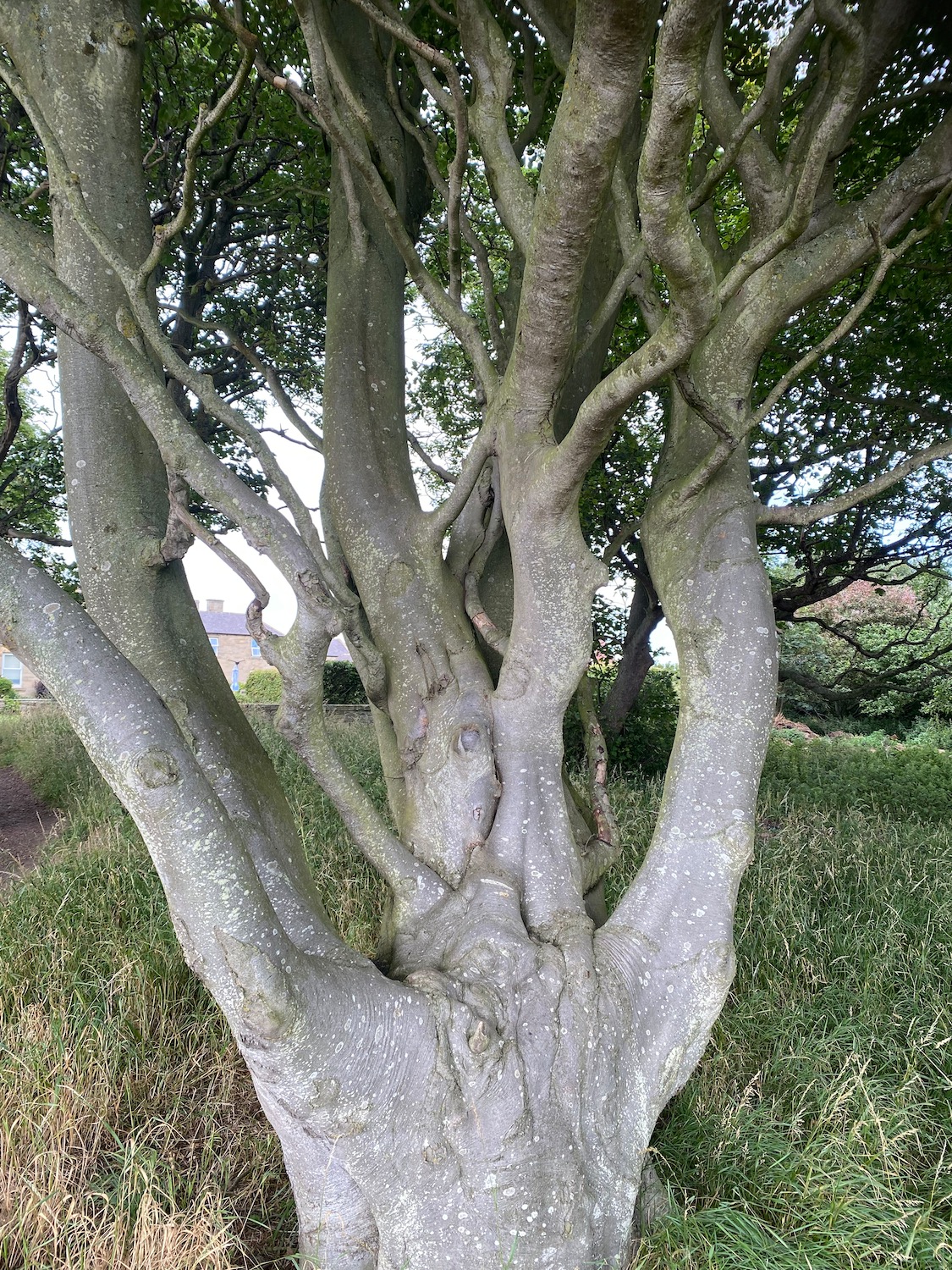
A striking tree stands in the grounds – is it a beech? They usually stand tall and straight but maybe something’s happened to this one.
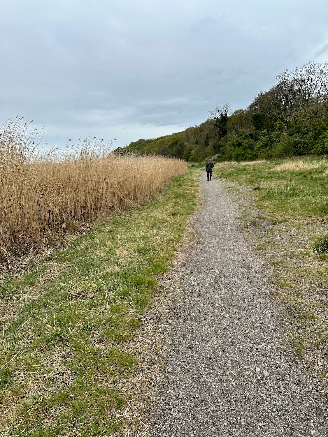
From here there are not a lot of photos – in fact none. We continue to follow the path, past a caravan site and besides the beach, the sand slowly turning into mud and rock as we approach Boulmer Harbour. The Fishing Boat Inn is the one and only pub in the village and we don’t really fancy it, so from the road outside we phone an Uber to take us back to our car.
The friendly bus driver in Blyth has the time and energy to correct my Franco pronunciation of Cambois – “Camess” he hisses – who would have guessed that? Apparently, the most likely origin of the word is from the Gaelic word “cambas” meaning “bay” or “bend in a river”. We walk down to yet another beautiful stretch of golden sand – with no-one on it
Damian’s toe has proved to be more troublesome than we thought, so I’m on my own today – but it’s only a short walk around the docks and up to the football stadium. He leaves me at Roose station and I make my way though depressing residential streets to Salthouse Junction, where I join a path around Cavendish Dock Reservoir.
On the OS map there is no clear path along the coast from Bardsea, apart from an initial stretch along a dirt track at the back of the beach. So, after much rumination we decide to try it anyway – the beach is enormous and the water very far away.
The woods to our right mark the edges of Bardsea Country Park and Sea Wood, both of which will make it difficult to join the road if the beach proves too troublesome – I’m really hoping this won’t prove necessary.
Today could not be more different from yesterday – we open the curtains to a blazing sun in a brilliant blue sky and according to the weather forecast this will continue all day. Hooray!
It is one of those mornings when I ask myself why we are doing this – it’s pouring with rain and to get to the footbridge at Greenodd we have to risk life and limb to cross four lanes of fast moving traffic. One more battered old Cumbria Coast sign points us in the right direction.
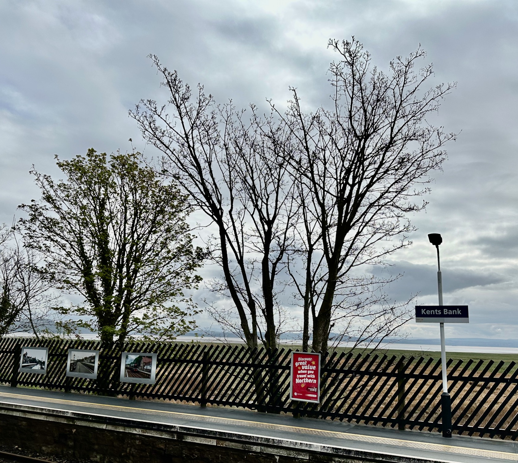
Cark and Cartmel station is a five minute walk from our BnB in Flookburgh, and it’s a four minute train ride to Kents Bank, where we finished our walk last time. It’s a grey morning but we’re not expecting rain.
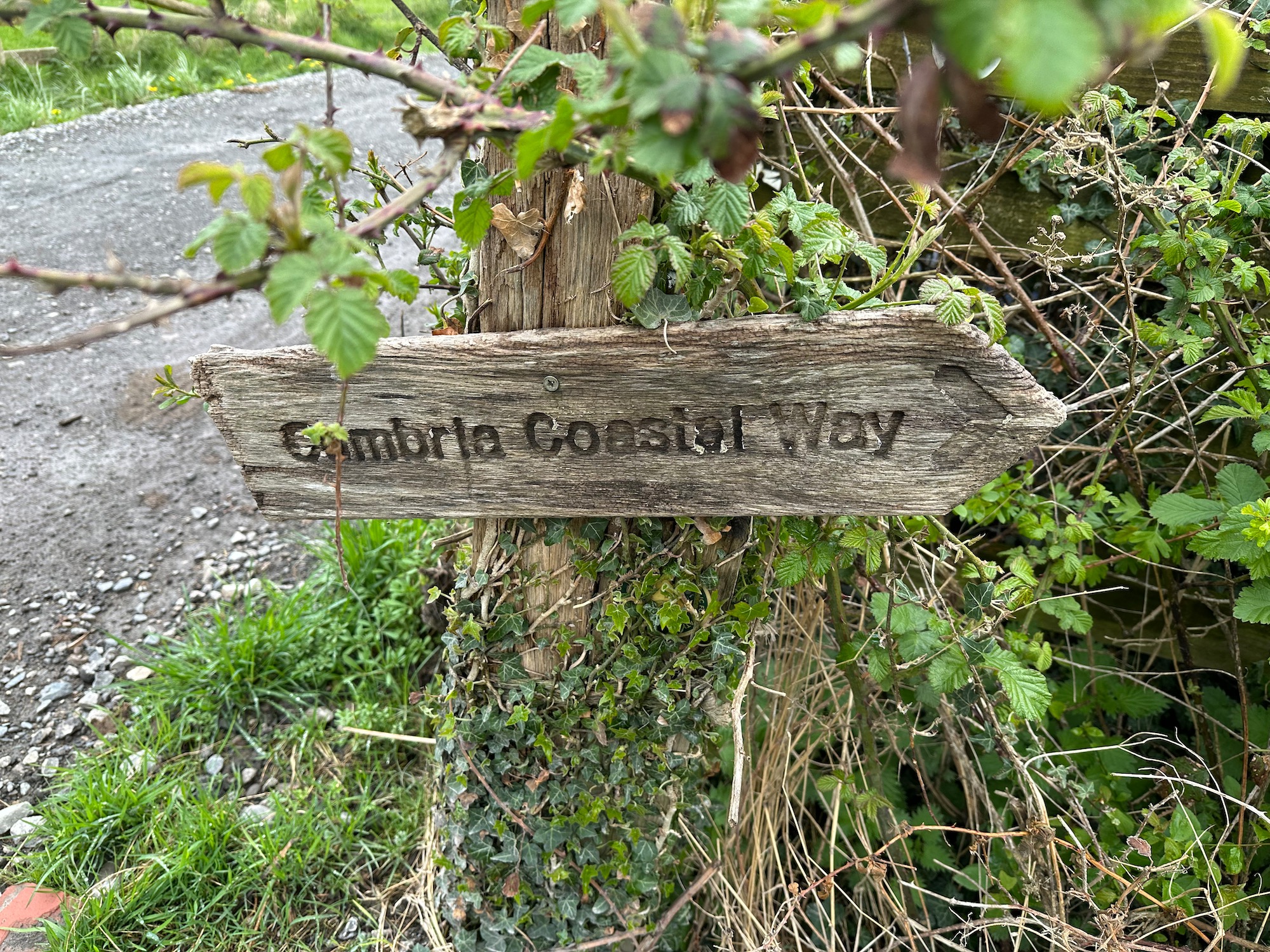
Walking up the minor road northwards we pass the entrance to Abbot Hall – I had wondered if it was possible to take a shortcut through the grounds of the hall, but there are No Access signs everywhere so we carry on up the hill, past rows of neat semi-detached houses. As the road dips down, I find the footpath I’ve been looking for off to the left – a battered old signpost shows us the way. The Cumbria Coastal Way is actually not marked on OS maps anymore as I’m told there are a few farmers who have withdrawn their permission to let walkers on their land. We do however come across quite a few signposts helping us on our way.