The friendly bus driver in Blyth has the time and energy to correct my Franco pronunciation of Cambois – “Camess” he hisses – who would have guessed that? Apparently, the most likely origin of the word is from the Gaelic word “cambas” meaning “bay” or “bend in a river”. We walk down to yet another beautiful stretch of golden sand – with no-one on it
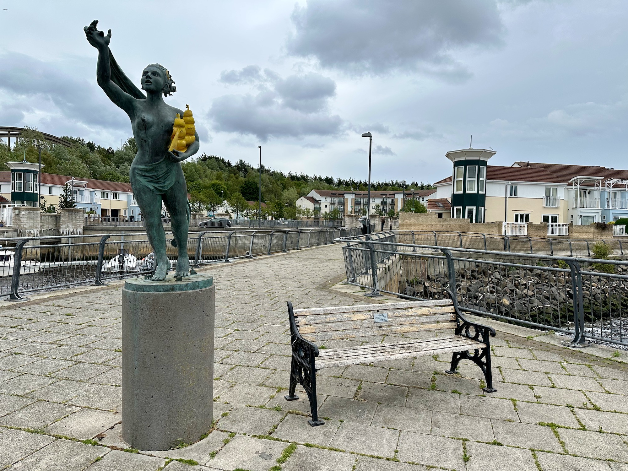
The Spirit of South Shields bids us welcome at the ferry terminal – she cradles a ship to ensure our safe journey over the river. Not that there is much chance of shipwreck in the seven minutes it takes to cross the Tyne but anyway……………
Our hotel for two nights overlooks the mouth of the River Tyne and from our bedroom window we have a wonderful view of one of the three lighthouses that guard the entrance to the river.
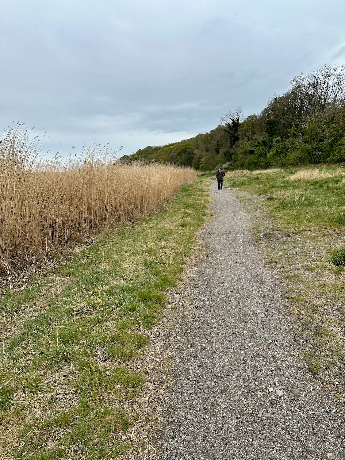
On the OS map there is no clear path along the coast from Bardsea, apart from an initial stretch along a dirt track at the back of the beach. So, after much rumination we decide to try it anyway – the beach is enormous and the water very far away.
The woods to our right mark the edges of Bardsea Country Park and Sea Wood, both of which will make it difficult to join the road if the beach proves too troublesome – I’m really hoping this won’t prove necessary.
Today could not be more different from yesterday – we open the curtains to a blazing sun in a brilliant blue sky and according to the weather forecast this will continue all day. Hooray!
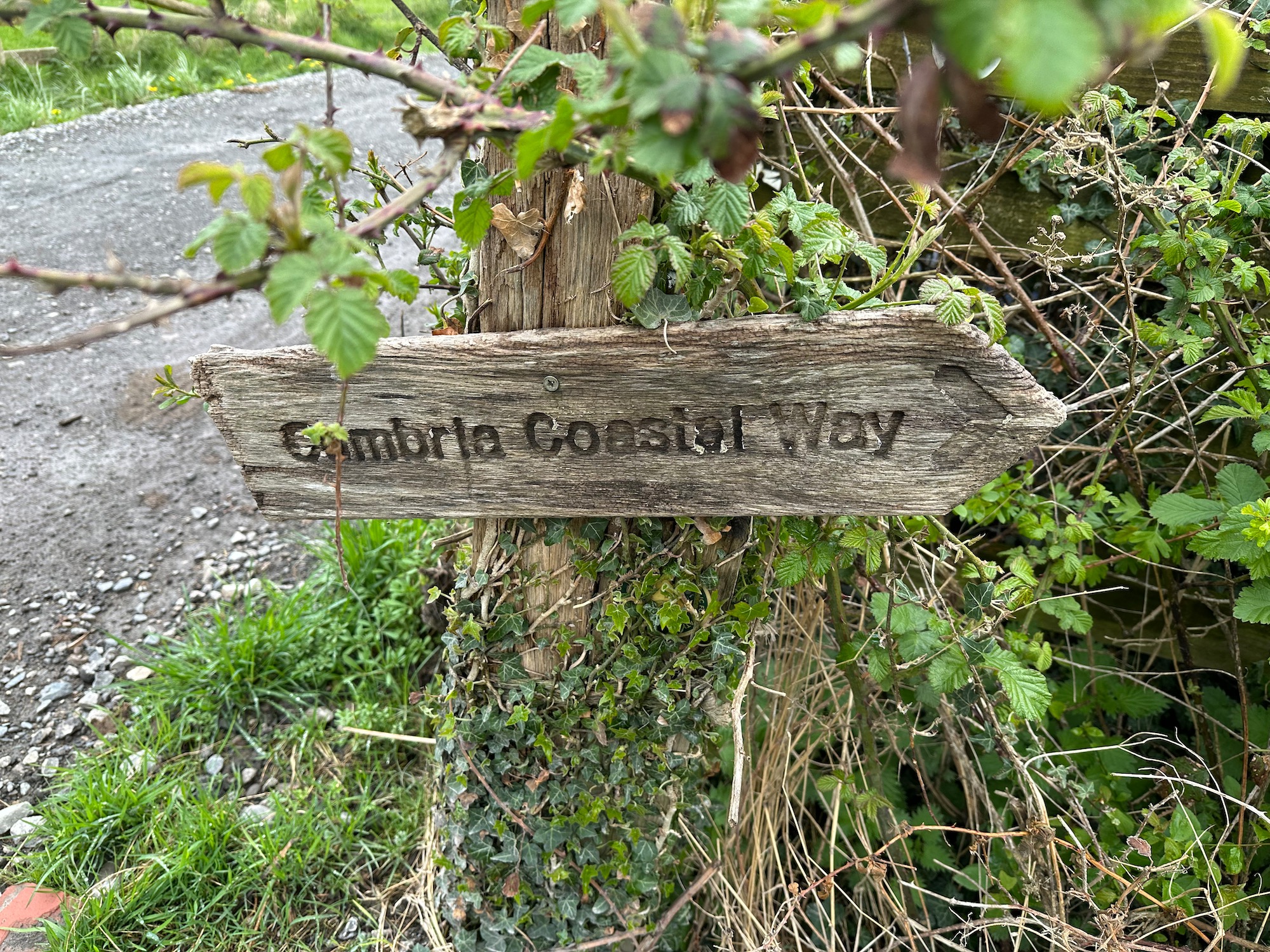
It is one of those mornings when I ask myself why we are doing this – it’s pouring with rain and to get to the footbridge at Greenodd we have to risk life and limb to cross four lanes of fast moving traffic. One more battered old Cumbria Coast sign points us in the right direction.
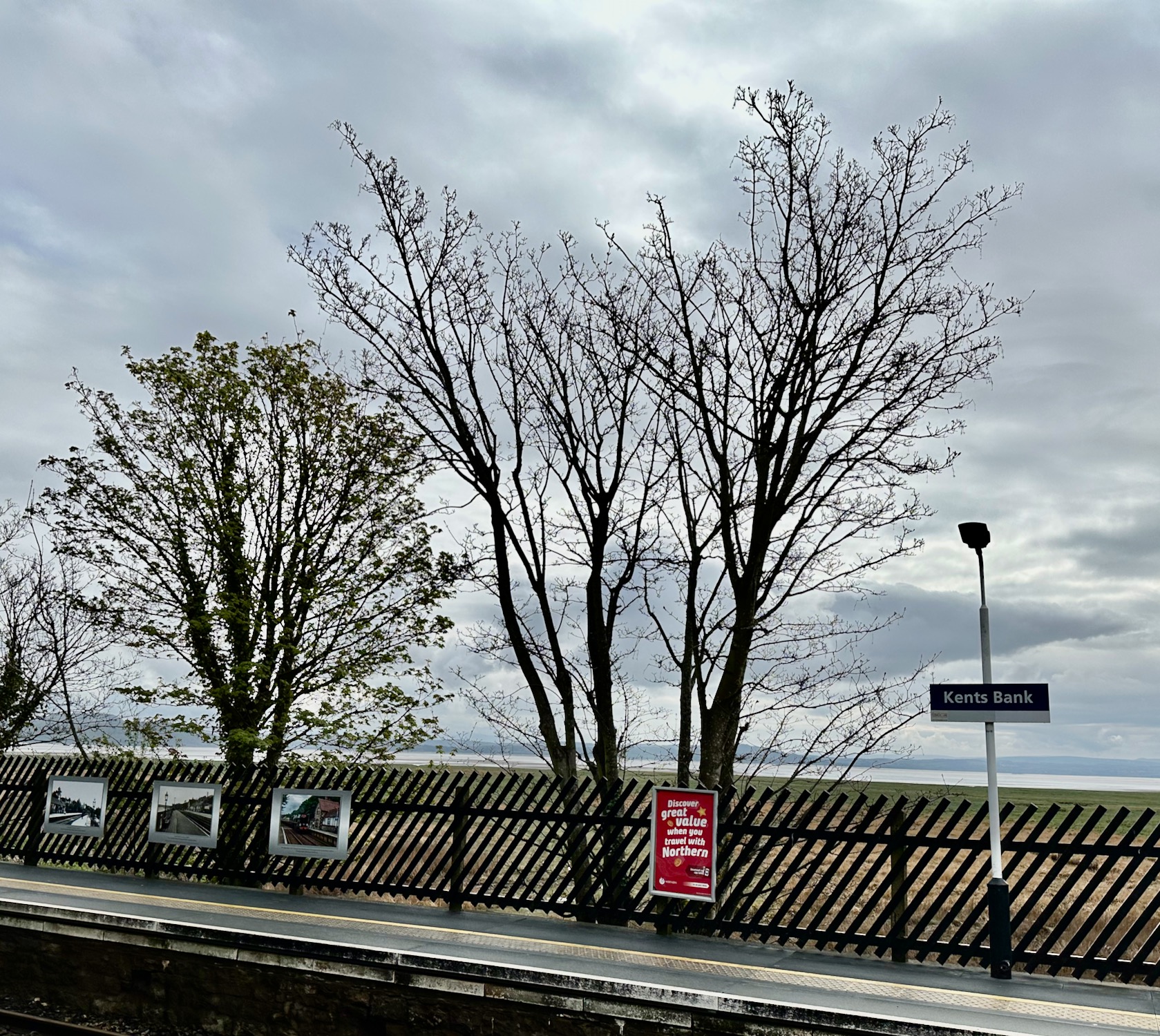
Cark and Cartmel station is a five minute walk from our BnB in Flookburgh, and it’s a four minute train ride to Kents Bank, where we finished our walk last time. It’s a grey morning but we’re not expecting rain.
Walking up the minor road northwards we pass the entrance to Abbot Hall – I had wondered if it was possible to take a shortcut through the grounds of the hall, but there are No Access signs everywhere so we carry on up the hill, past rows of neat semi-detached houses. As the road dips down, I find the footpath I’ve been looking for off to the left – a battered old signpost shows us the way. The Cumbria Coastal Way is actually not marked on OS maps anymore as I’m told there are a few farmers who have withdrawn their permission to let walkers on their land. We do however come across quite a few signposts helping us on our way.
The rather clumsily named Nose’s Point is a small promontory east of Dawdon, where up until 1991 all coal waste from the local colliery was unceremoniously tipped over the cliffs on to the beaches below. It is said that this practice created an expanse of slag three miles out to sea. Fortunately, the site has now been reclaimed – wildflower meadows have been restored, ponds have been created for wildlife and marine life has returned to the area in abundance. We start walking from the carpark – walking into the sun and with a tail wind – all good.
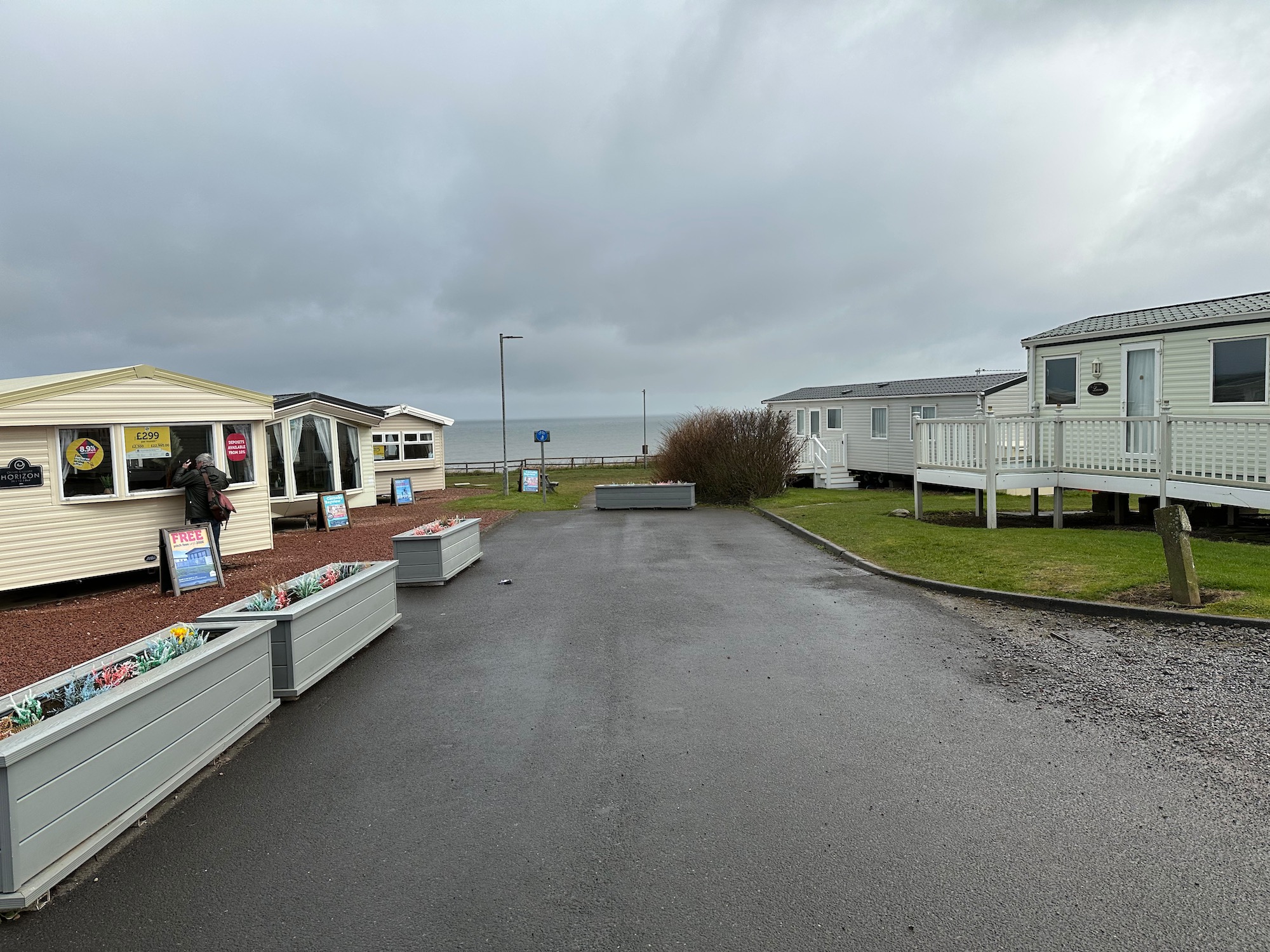
We phone and ask if we can leave the car in the caravan park, as it’s very low season and the place is a ghost town – the woman on the other end of the phone almost gleefully says no. So it’s an Uber that drops us just inside the entrance, and we spend a bit of time lurking around, looking in a few caravan windows and trying to find the path that will lead us down to the coast.